1 to 2 Road
Total Miles
1.1
Technical Rating
Best Time
Spring, Summer, Fall, Winter
Trail Type
Full-Width Road
Accessible By
Trail Overview
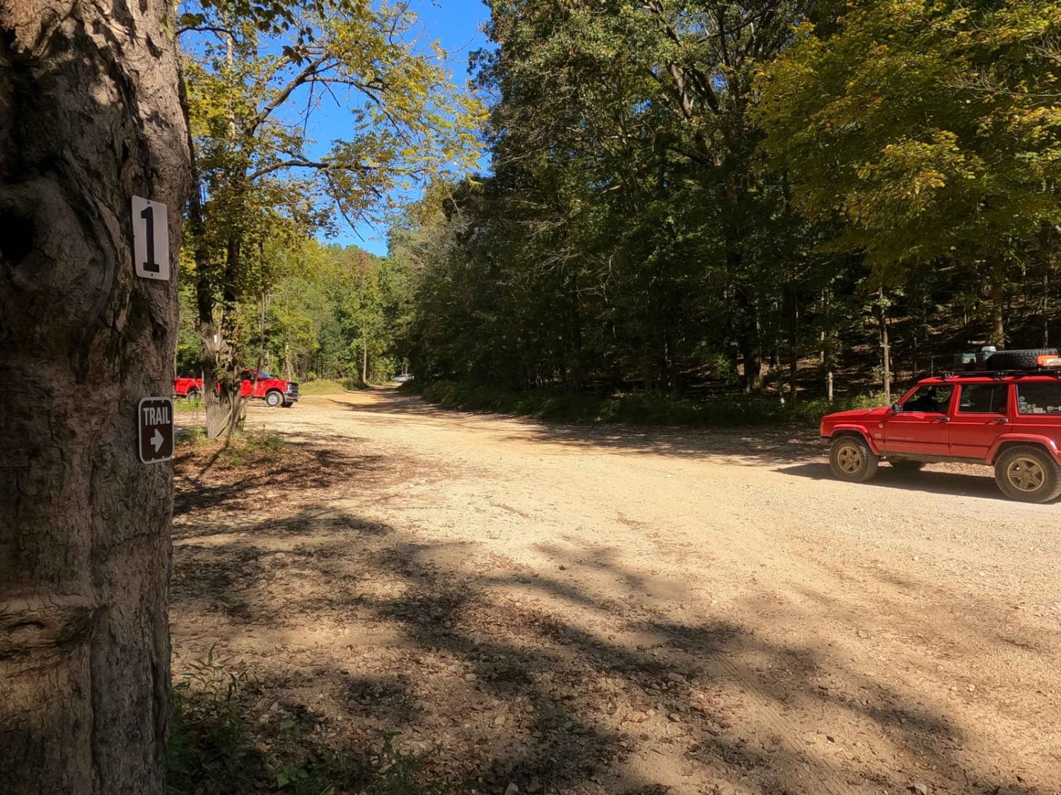
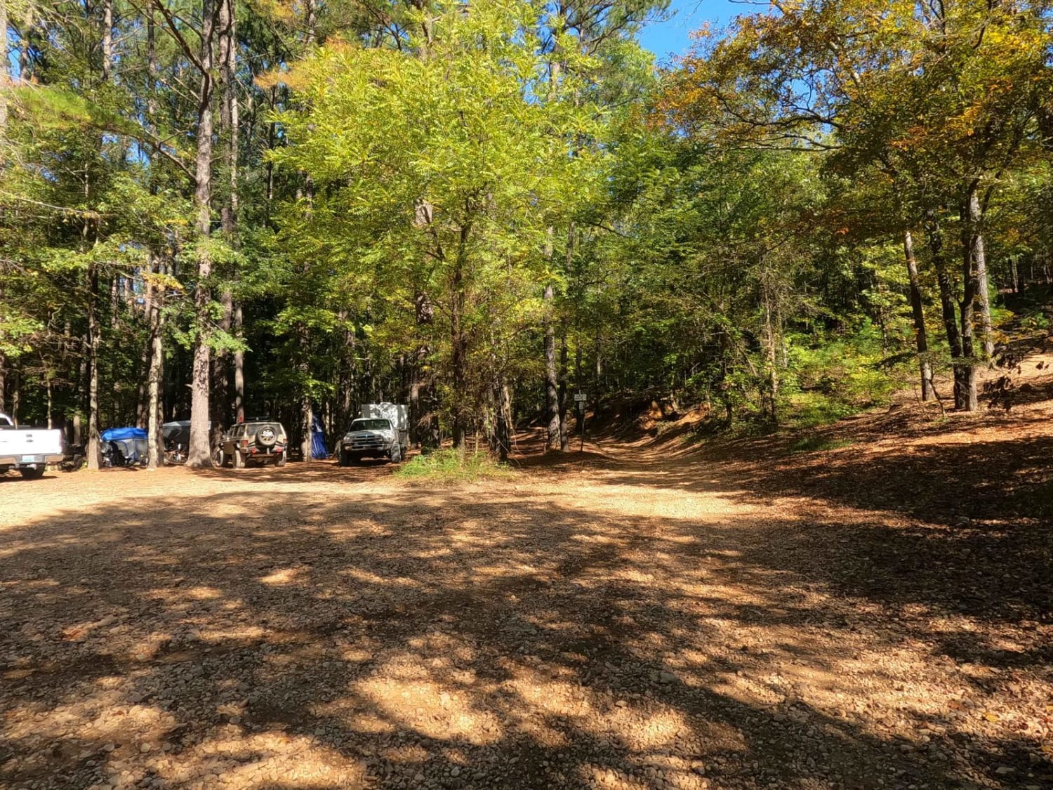
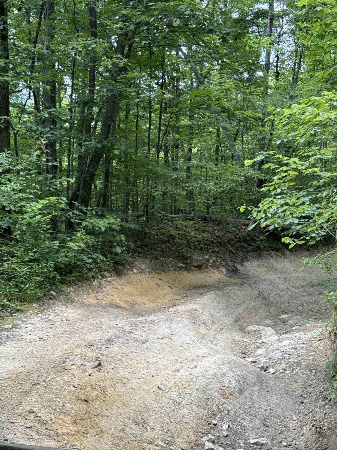
The 1 to 2 Road, is a semi-maintained creek gravel and dirt primary road, with natural tendencies, connecting point to point from the 1 intersection to the 2 intersection in Turkey Bay OHV, within the Land Between the Lakes National Recreation Area. Its official ID is part of Forestry M01. After getting off FSR 167, heading north past the camping area and 1 intersection, the road quickly turns into creek bottoms, navigating ruts and washes with a mix of coarse gravel, natural rock, and dirt, all with potential small water collection spots. in the center section, it climbs the west central hills in the park, comprised of mostly dirt, thin mud when wet, steep grades, ruts, washes, and small ledges in spots. Then on the northern end, you track down a mild grade to the 2 intersection where you will see the white signs attached to the V-shaped tree.
Photos of 1 to 2 Road
Difficulty
The difficulty of the trail is in the ruts and washes of the bottoms and the hill, featuring off-camber lines that will test your flex over sudden 12-inch drops. The hill section is also rather steep and can become a sloppy muddy mess, filled with thin sticky mud. This is where maintaining momentum or not letting momentum get out of your control is important. When dry, the hills are much easier-they're just a matter of picking a wise line for your vehicle's capability. There are spots on the hill section that can provide 12-inch ledges or greater if desired. Overall the trail is given a base rating of 3/10 for its mild challenge, based on the depth of ruts and washes, loose terrain, and the steep grades of the hills. Difficulty would certainly increase in times of heavy rain or seasons that are very wet.
1 to 2 Road can be accessed by the following ride types:
- High-Clearance 4x4
- SUV
- SxS (60")
- ATV (50")
- Dirt Bike
1 to 2 Road Map
Popular Trails


Newby Cemetery Road - FS 130

Simon Hill Road
The onX Offroad Difference
onX Offroad combines trail photos, descriptions, difficulty ratings, width restrictions, seasonality, and more in a user-friendly interface. Available on all devices, with offline access and full compatibility with CarPlay and Android Auto. Discover what you’re missing today!