Colson Hollow Road - FS 169
Total Miles
1.8
Technical Rating
Best Time
Spring, Summer, Fall, Winter
Trail Type
Full-Width Road
Accessible By
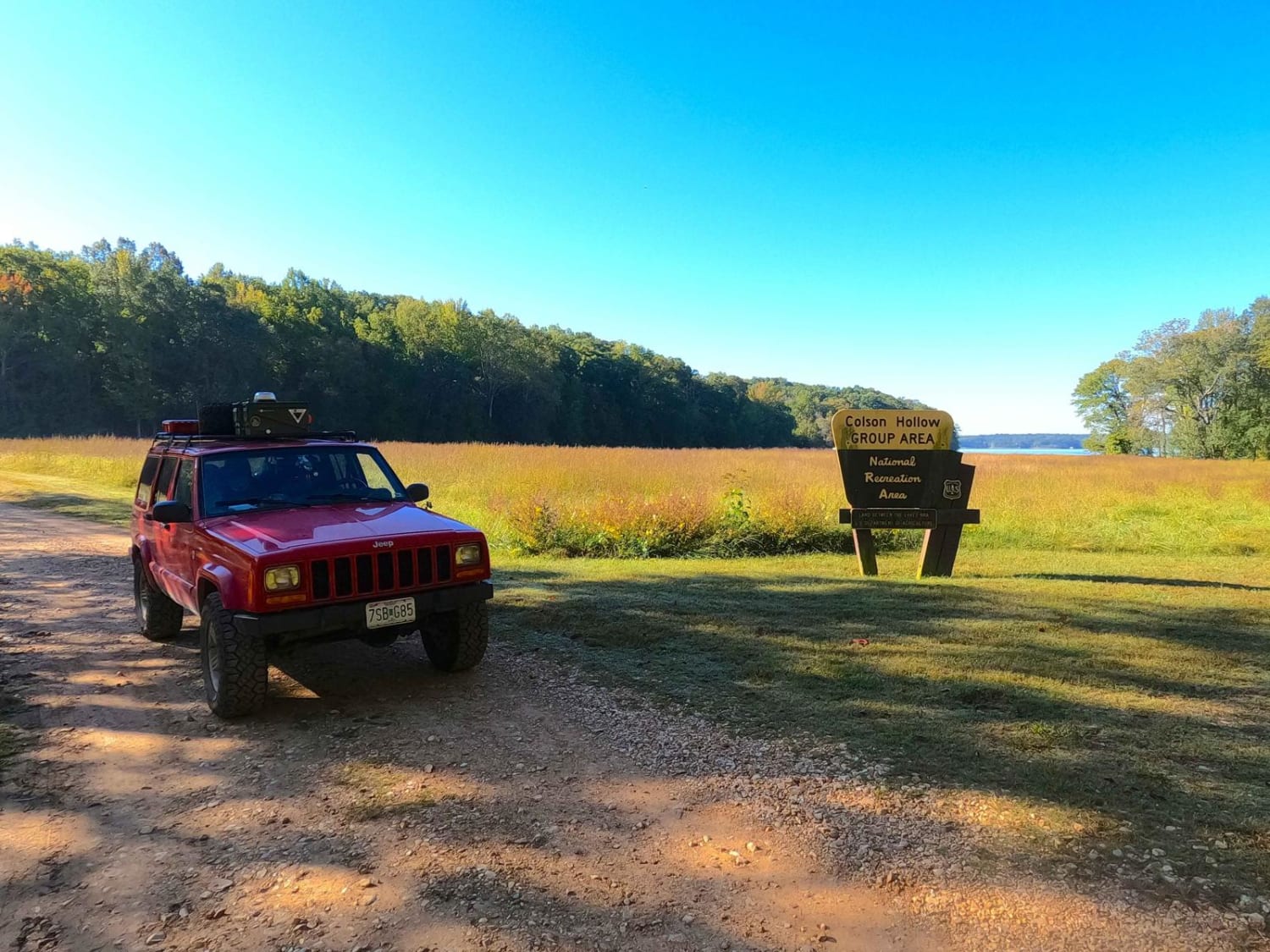
Trail Overview
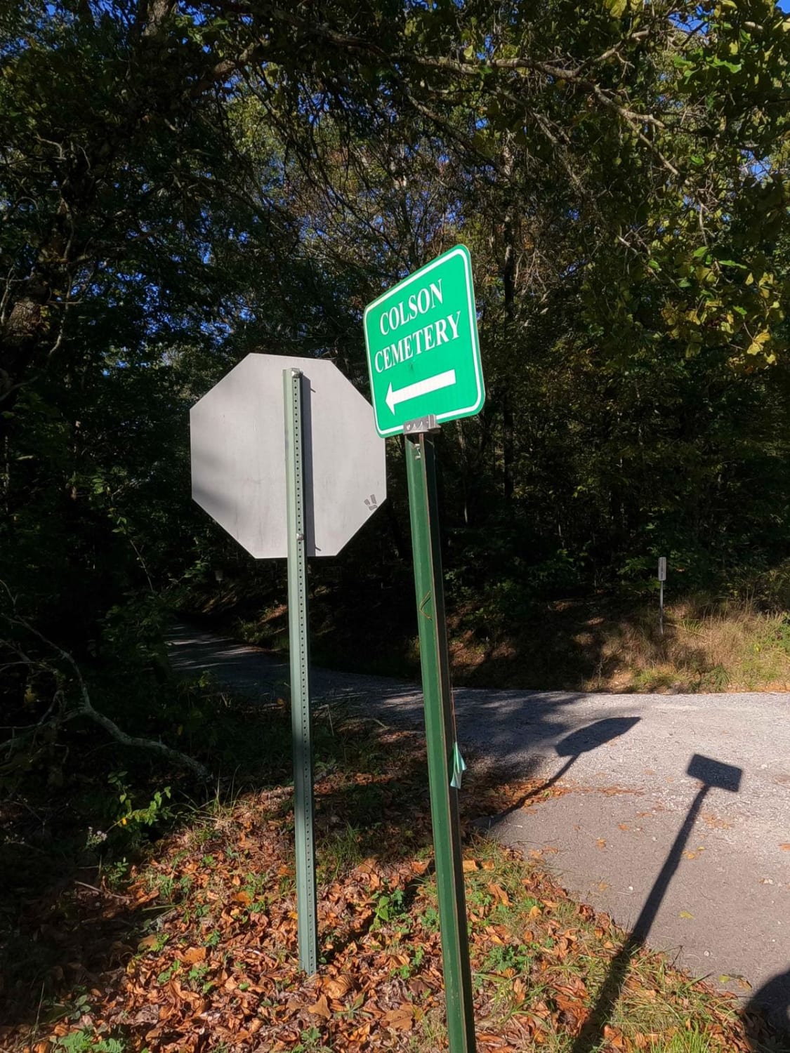
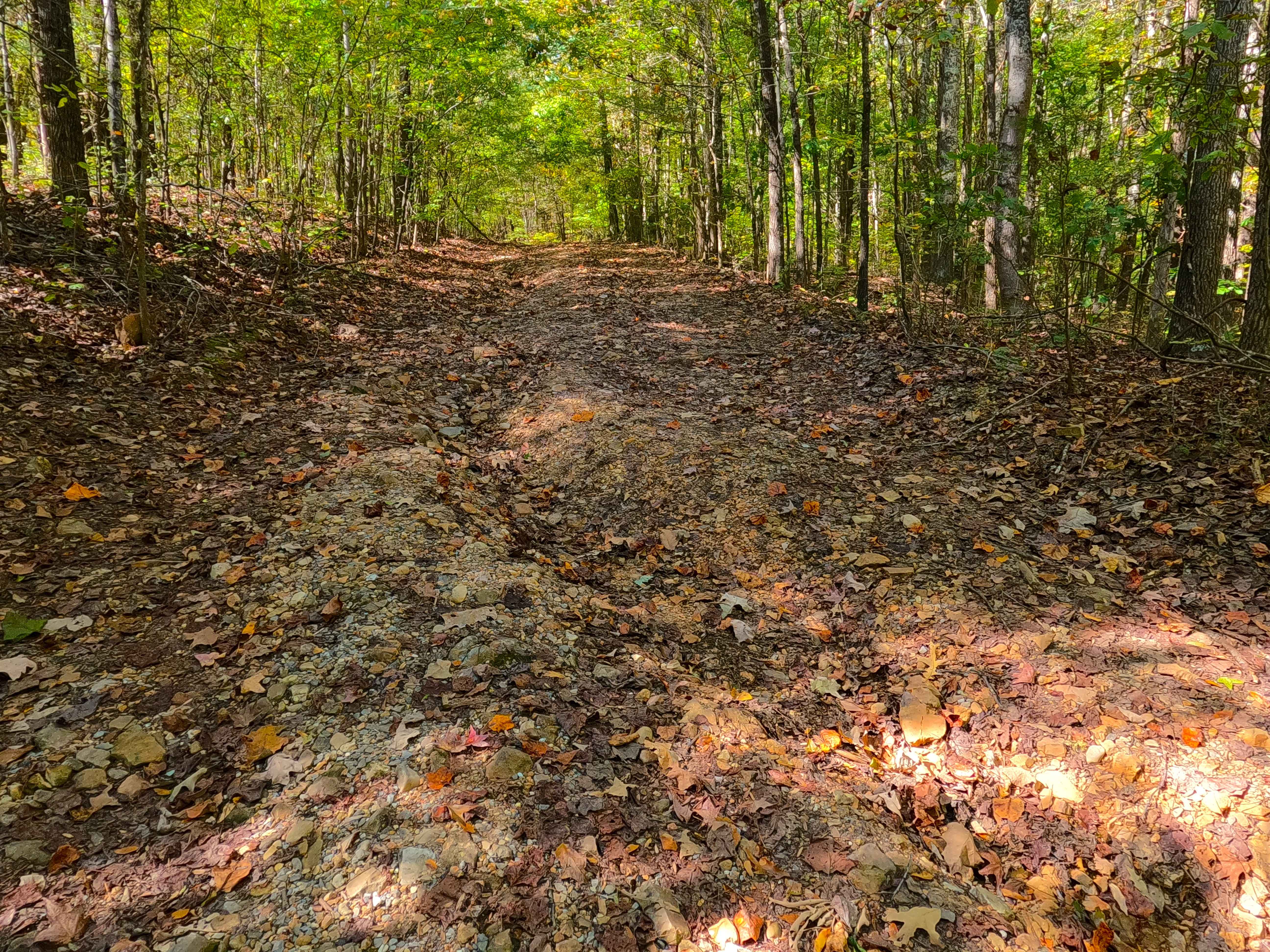
Colson Hollow Road FS 169 is a gravel forestry road through the southwest corner of the southern Kentucky section, Kentucky Lake side, of the Land Between the Lakes National Recreation Area. It features an easy, maintained flow, going down a mild grade into the hollow with mild soft spots where the gravel road fades to dirt, small erosion ruts, and one small feeder creek crossing. The road reflects a higher maintenance standard due to its facilities: a large reservable group camp area along the shoreline of Kentucky Lake, featuring a dumpster and one vaulted toilet. Both of these are near the most popular camp spot at 36.72401, -88.07756. The rate as of 2023 is $40 a night for the 25 acres of field that can host 10 (minimum to reserve) to 200 people. At the tail end of the road is the Colson Cemetery. It has a gate and sign stating cemetery access only, found at 36.72348, -88.07732. It is requested by the family that this area remain left private as possible.
Photos of Colson Hollow Road - FS 169
Difficulty
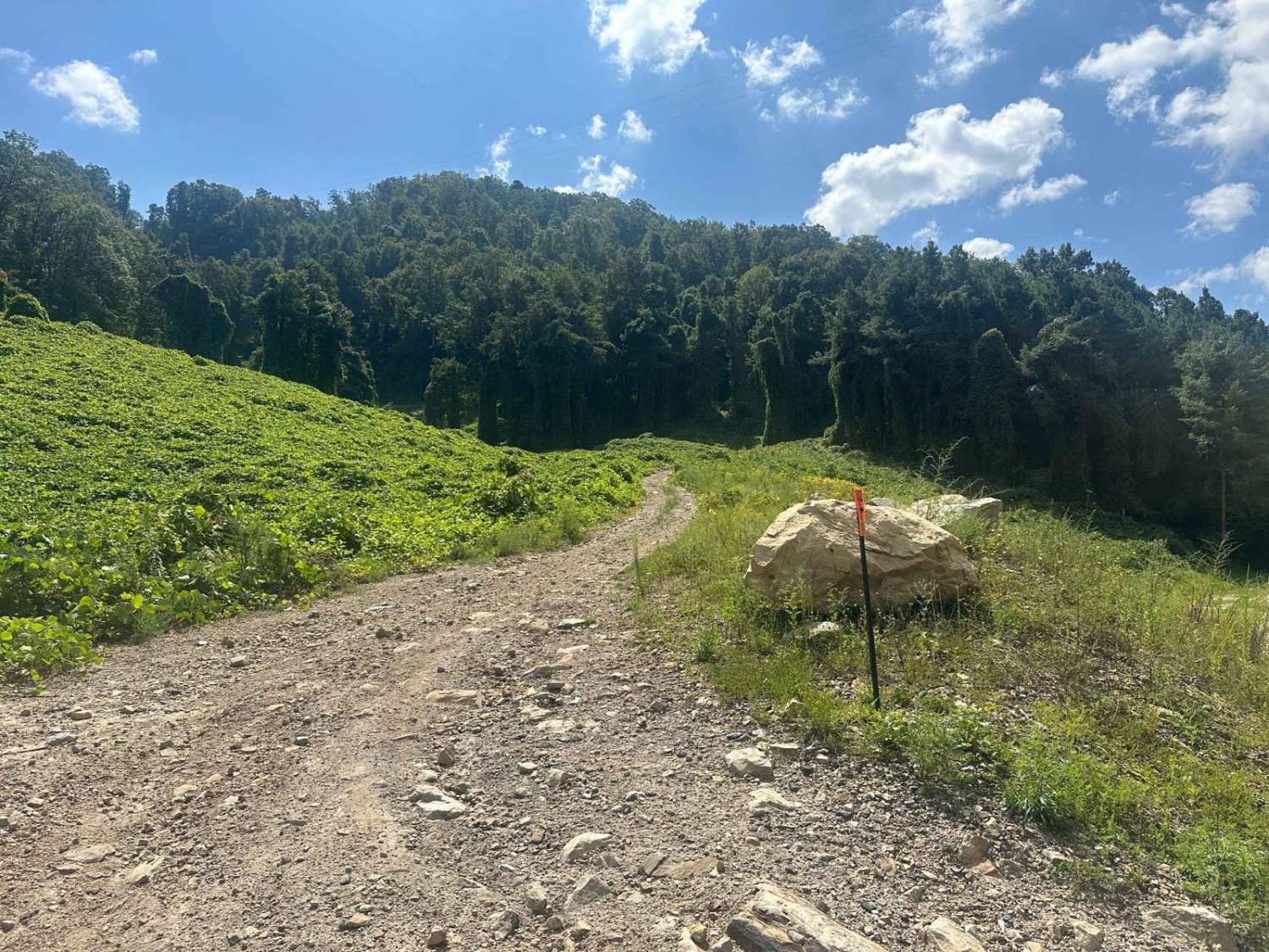
The FS 169 is simple and well-maintained because of the use of the area surrounding it, though you will encounter all the gravel road complications, including mounding, washboarding, and potholes. The road can also include sections where the gravel fades to dirt or thin mud and light erosion ruts form in the gravel. There is also one concrete block-bottomed feeder creek at the point where the road opens up to the fields along the lake. It is typically dry, and only in rare instances would have low-level water to cross in it. All this said, the trail is given a 1/10 for its simplicity. Be mindful of flash flooding and heavy rain. The lake levels could close this area when historically high, and if so it is best to deem the road impassable.
History
At the tail end of the road is the Colson Cemetery. It has a gate and sign stating cemetery access only, found at 36.72348, -88.07732. It is requested by the family that this area remain left private as possible. Respect those who came before us and the family that still mourns those they have lost.
Status Reports
Colson Hollow Road - FS 169 can be accessed by the following ride types:
- High-Clearance 4x4
- SUV
Colson Hollow Road - FS 169 Map
Popular Trails

Piney Branch Rd - DBBB
Trail 1 - Tower Ride
Cunningham Monument - FS 154A
The onX Offroad Difference
onX Offroad combines trail photos, descriptions, difficulty ratings, width restrictions, seasonality, and more in a user-friendly interface. Available on all devices, with offline access and full compatibility with CarPlay and Android Auto. Discover what you’re missing today!