Cunningham Monument - FS 154A
Total Miles
0.3
Technical Rating
Best Time
Spring, Summer, Fall, Winter
Trail Type
Full-Width Road
Accessible By
Trail Overview
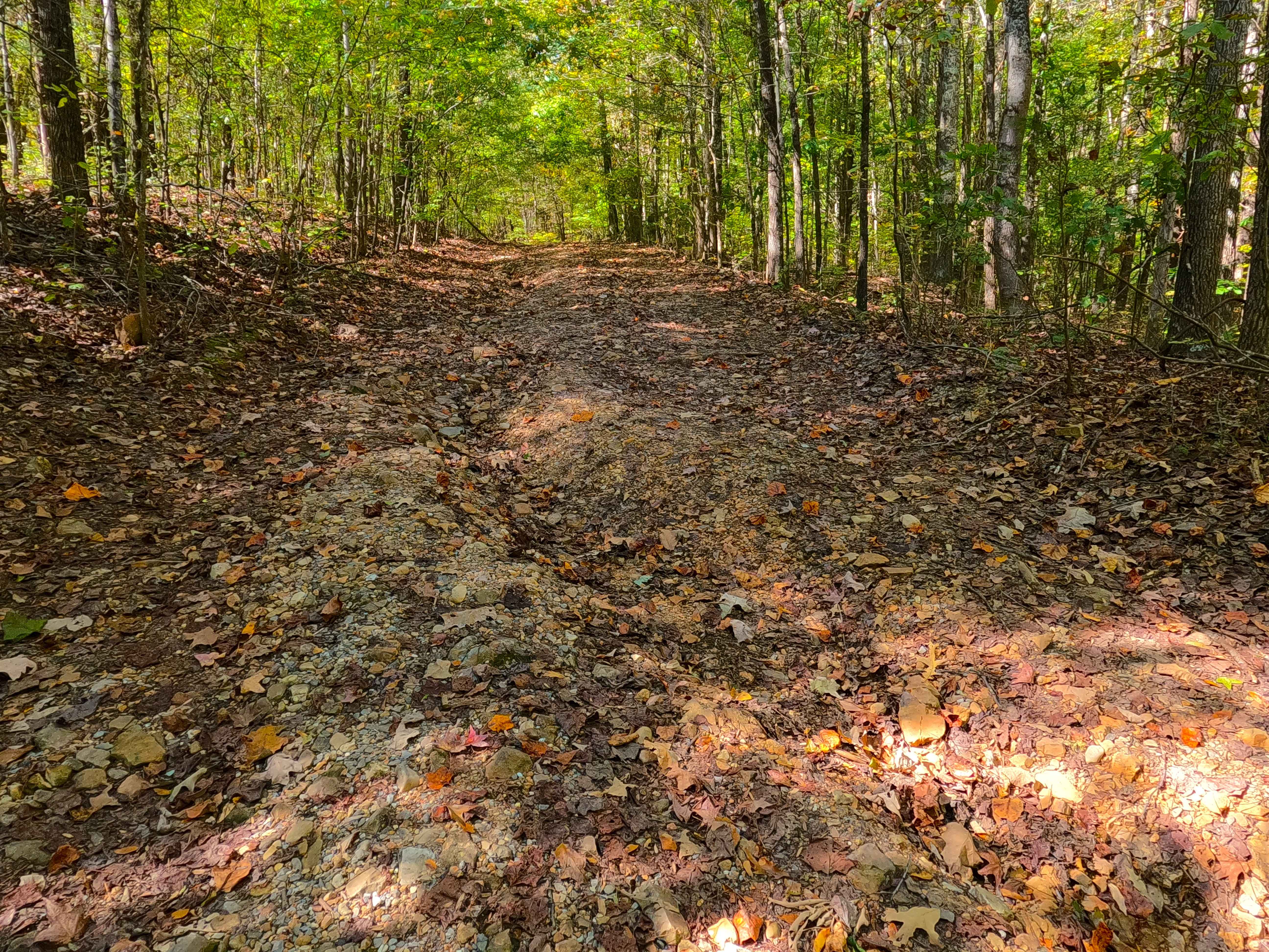
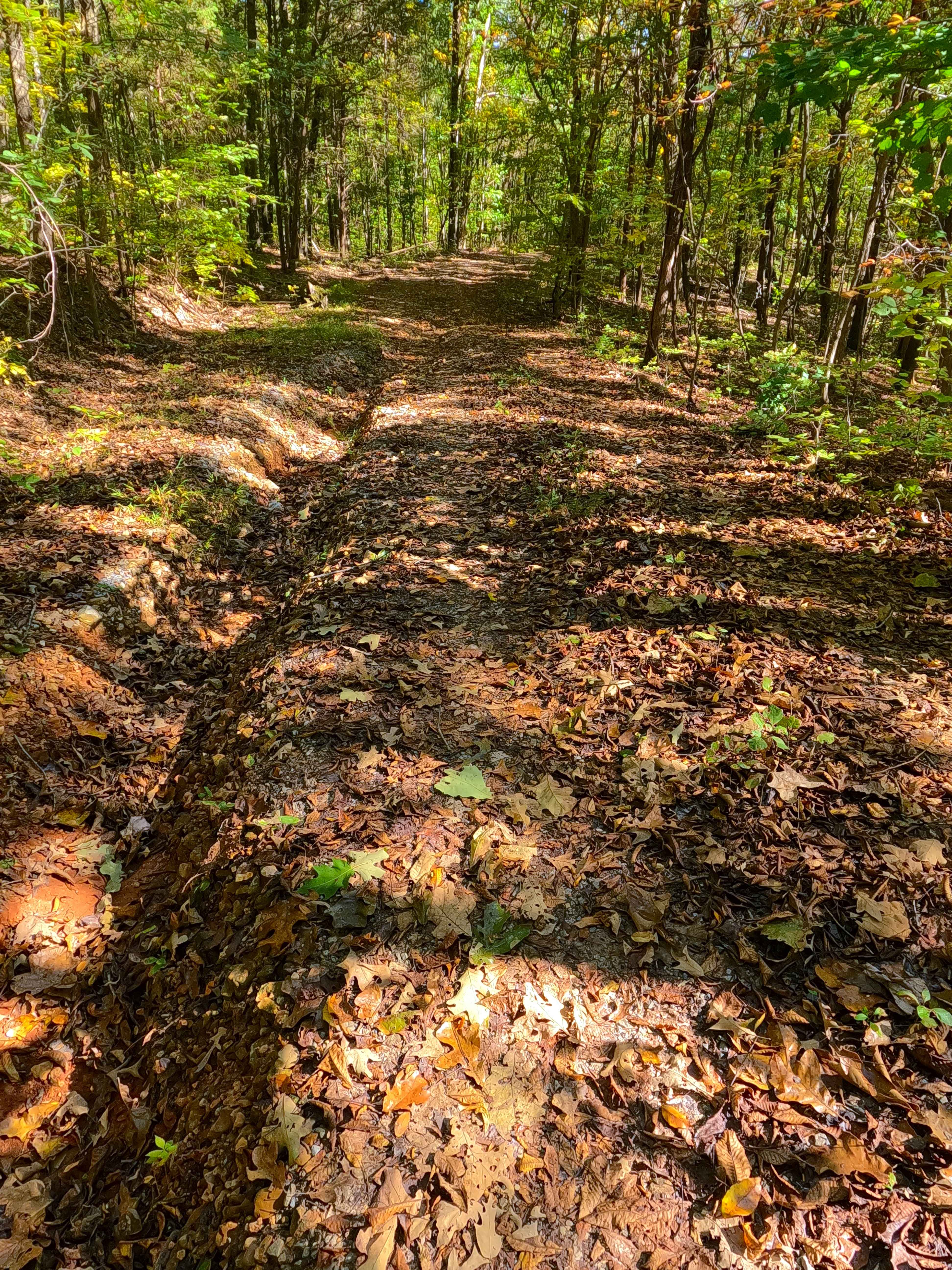
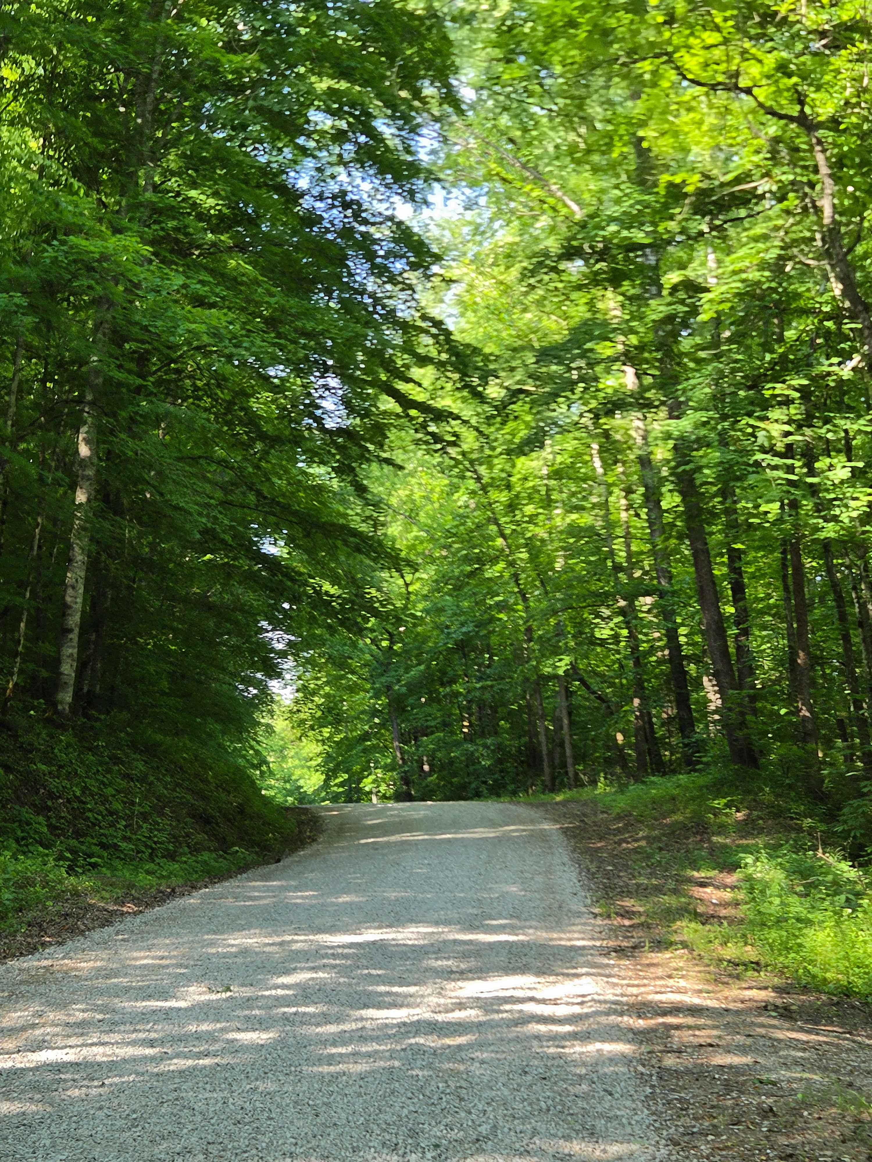
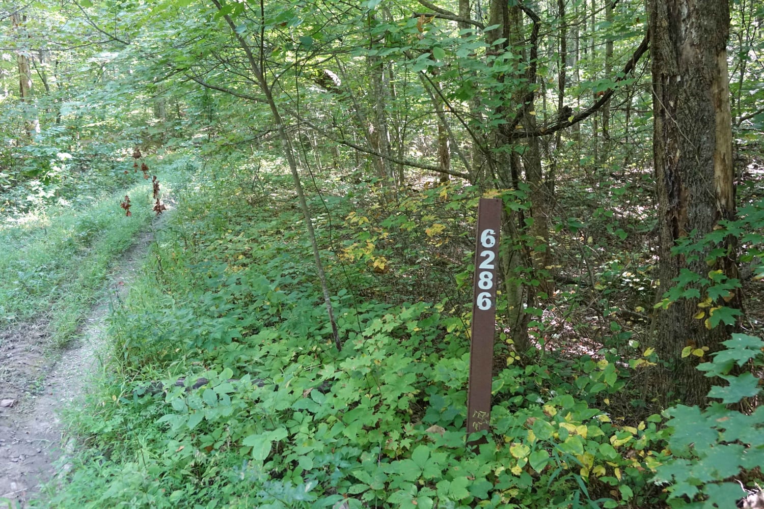
Cunningham Monument (FS 154 Spur A) is a gravel forest service road through the center-east Kentucky section, Lake Barkley side, of the Land Between the Lakes National Recreation Area. This route, after leaving the FS 154, immediately goes down in elevation over a coarse gravel and dirt rutted hill, dropping into one valley bottom with signs of a small water collection spot, then it tracks back up hill as it passes the John T. Cunningham Monument (more info of John's life is in the history section), before hitting a small mud hole, and then climbing the last few feet of elevation, before ending at the scenic turnaround location overlooking Lake Barkley. It may be a short road, but it makes up for it in historic relevance and for a scenic east-facing view of the lake.
Photos of Cunningham Monument - FS 154A
Difficulty
Given a base rating of 2/10, for having ruts with 12 inches or less of depth, and cobble-sized (10 inches or less) natural rock lying on the trail, and only having one potential water collection spot in the valley bottom, being a splash depth, and one small depth (under 12 inches) mud/water hole before the turnaround. Full-size vehicles can traverse the trail, just be warned that the turnaround could be tight, and there are low-hanging trees. Difficulty could increase in wet conditions, heavy use, or a lack of maintenance.
History
This route is named after Reverend John T. Cunningham (who lived from 1859 to 1954), and by the monument found marking where he was born along this very ridge road, of which his descendants lived until 1963. John was buried in Princeton, Caldwell County, Kentucky. John's life is notable as he taught the then future Kentucky Senator and later Vice President Alben W. Barkley (who lived from 1877 to 1956) how to read and write. Though Alben never lived to see the completed project, he was later honored within the creation of Land Between the Lakes, having Barkley Dam and Lake Barkley, completed and impounded in 1966, both named after him. The history of the roads FS 154-158 is all connected in one way, that being the old Kentucky Road 289, which historically ran right along the bottom of the eastern ridges of LBL or the western shore of Lake Barkley, connecting all the old county roads that either became or were replaced with FS roads. These roads connected to the old 289 at roughly 25-200 feet in the water from the modern shoreline. The south end of old 289 started at the US-68 and KY-80, at 36.80202, -87.98454, going north all the way to the Crossroad Church (FS 123), which completely rests on the old 289 track, and hosts its northern endpoint, at 37.01368, -88.09205. The old Crooked Creek Bridge, part of old 289, can still be seen in the winter pool at the end of the FS 154. Documented By Christopher Menz, 10/2025
Status Reports
Cunningham Monument - FS 154A can be accessed by the following ride types:
- High-Clearance 4x4
- SUV
Cunningham Monument - FS 154A Map
Popular Trails
F to E Road
Stephens Knob

Turkey Creek Cemetery Road - FS 413
The onX Offroad Difference
onX Offroad combines trail photos, descriptions, difficulty ratings, width restrictions, seasonality, and more in a user-friendly interface. Available on all devices, with offline access and full compatibility with CarPlay and Android Auto. Discover what you’re missing today!