Spring Road - FS 155
Total Miles
1.0
Technical Rating
Best Time
Spring, Summer, Fall, Winter
Trail Type
Full-Width Road
Accessible By
Trail Overview
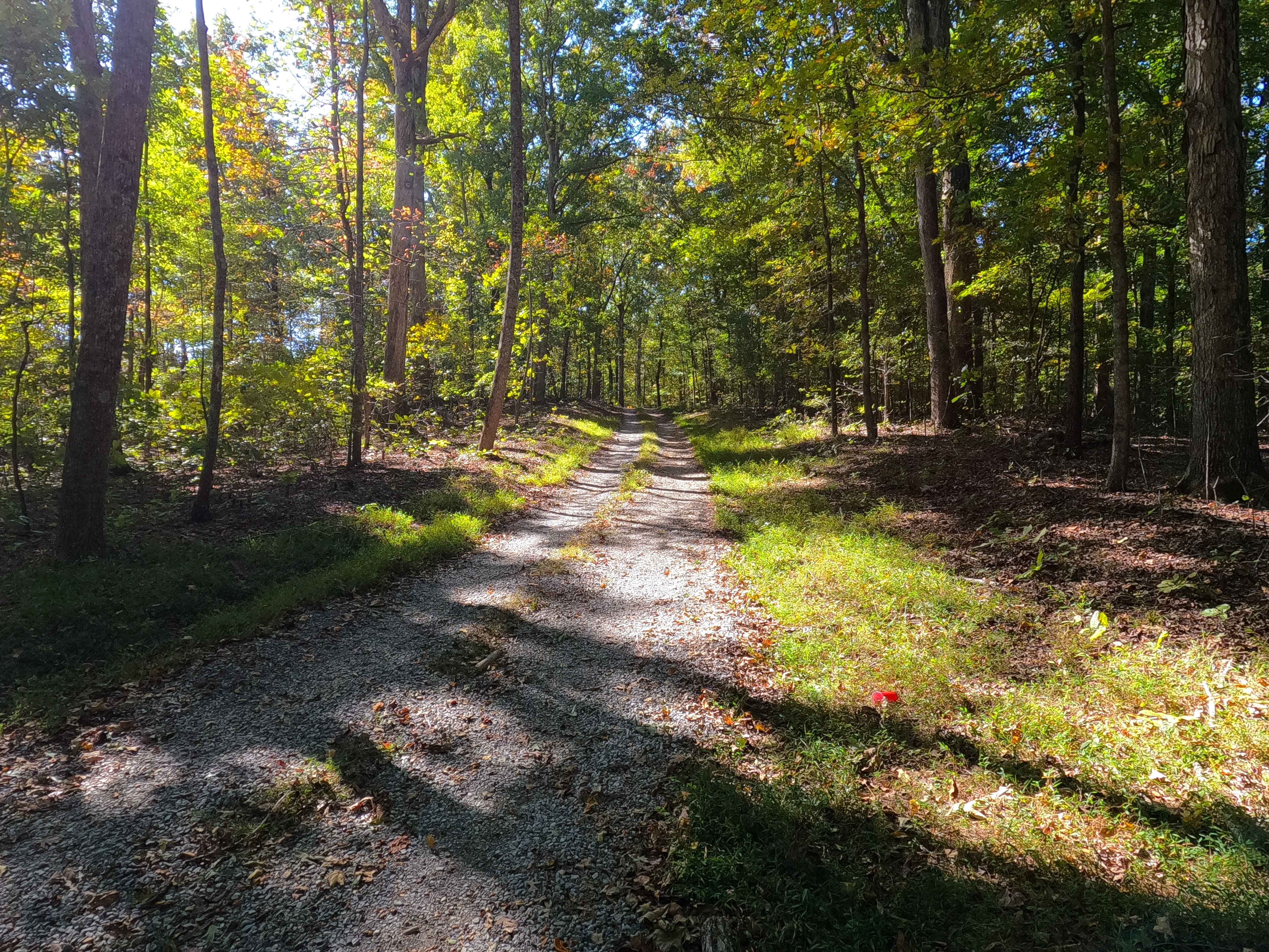
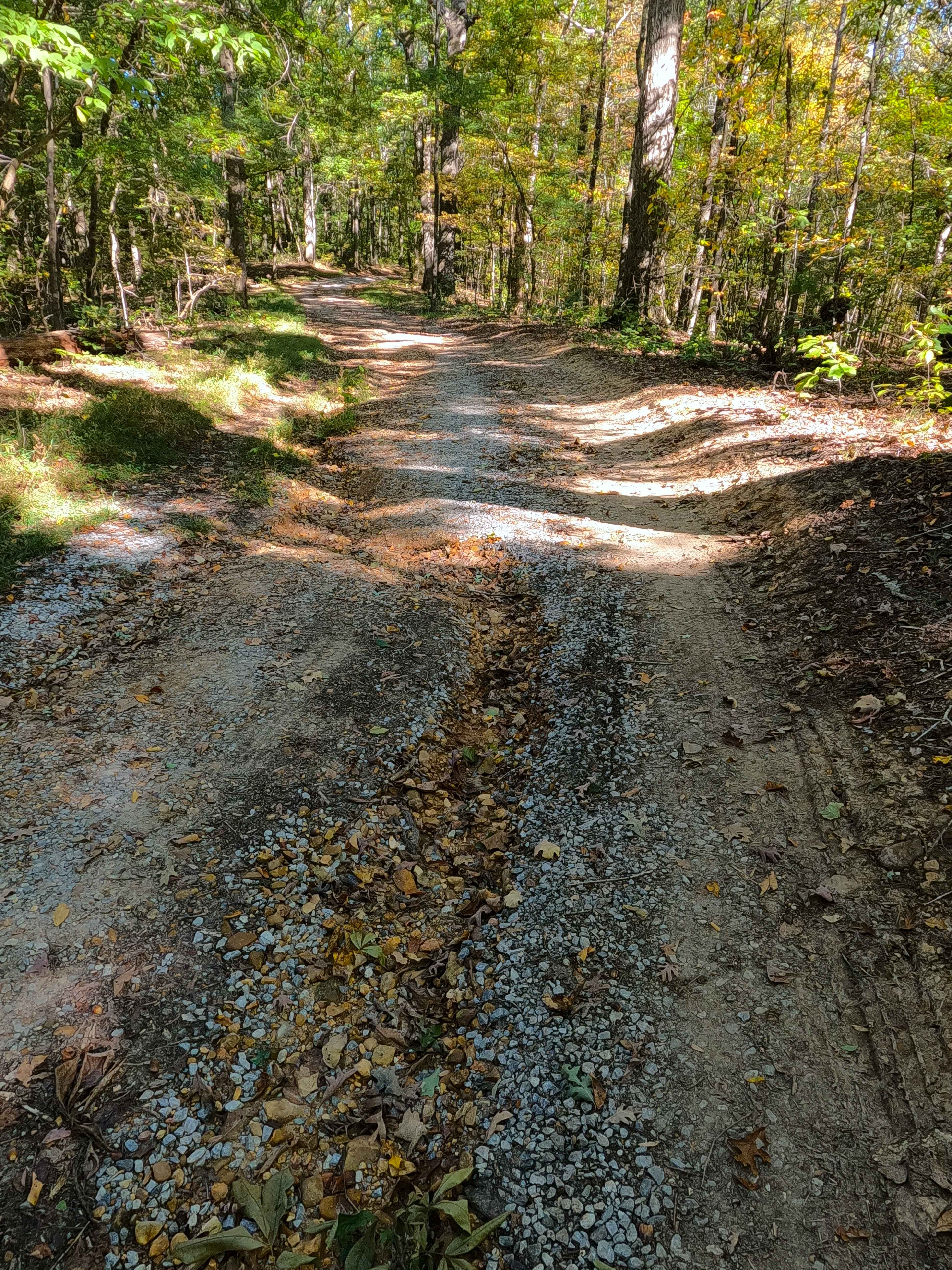
Spring Road (FS 155) is a gravel transforming to natural-improved forest service road through the center-east Kentucky section, Lake Barkley side, of the Land Between the Lakes National Recreation Area. This route comes off from the Energy Lake Road (FS 134) heading east, then turning south to the north shorelines of the unnamed bay it rests on, with the greater Lake Barkley just to the East. The gentle, clean gravel portion of the road tracks along the spines of the ridge with subtle elevation changes for the first 0.9 miles, only having mild signs of erosion. Then the road suddenly steeply drops, down a steep grade, before meeting the shoreline turnaround. At this hill, the terrain suddenly changes to coarse natural gravel, fading to clay-like dirt in spots, with active erosion ruts and occasional natural rock poking out at the surface. In this more natural section, the track also passes the white pillar marker on the east side of the bottom of the hill, saying "Cumberland Baptist Church", being found at 36.83912, -87.98756, with the shoreline turnaround just south of this marker. Southeast from the turnaround on foot at the winter pool or from the waters edge of the summer pool level, old Church front steps can be seen at 36.83903, -87.98726.
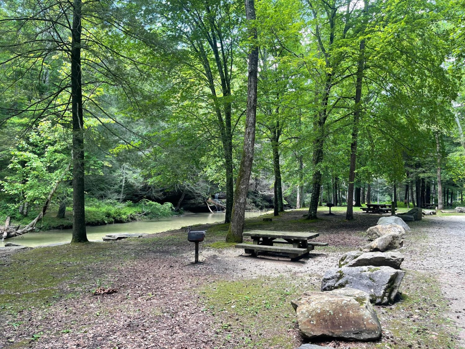
Photos of Spring Road - FS 155
Difficulty
Spring Road is given a base rating of 3/10, for having erosion ruts with up to 12 inches of depth, and cobble-sized (10 inches or less) rock laying on the road, with natural rock poking out of the road (6 to 12 inches), with natural coarse gravel and dirt/clay mix, all together present on the last steep hill. Along the shoreline, there are also several natural rocks poking out at the surface. Full-size vehicles can traverse the trail; just be warned that the turnaround is semi-tight, and there are low-hanging and tight trees. Difficulty could increase in wet conditions, heavy use, or a lack of maintenance.
History
On the east side of the last downhill before the turnaround of the FS 155, there is a white pillar marker saying "Cumberland Baptist Church". Southeast from the marker, along the shoreline, along the large rocks, and erosion of the summer water pool is an old set of concrete steps. Based on old Canton, Kentucky, topos, this is more than likely the location of the old Church, right along where the old Kentucky Route 289 and the former county road met. To the west of the marker was once Cumberland Cemetery, but it could not be located when looked for; these were possibly moved as they were so close to the shoreline. The modern ridge-based FS 155 replaced that county road that used to track along the northern shoreline of the small, unnamed bay that FS 155 accesses, ultimately following a former feeder branch of the Pond Creek, resting one bay north of Pond Bay. This Church dissolved in the 1960s TVA takeover of the land. The history of the roads FS 154-158, is all connected in one way, that being the old Kentucky Road 289, which historically ran right along the bottom of the eastern ridges of LBL or the western shore of Lake Barkley, connecting all the old county roads that either became or were replaced with FS roads. These roads connected to the old 289 at roughly 25-200 feet in the water from the modern shoreline. The south end of old 289 started at the US Route 68 and Kentucky Route 80, at 36.80202, -87.98454, going north all the way to the Crossroad Church (FS 123), which completely rests on the old 289 track, and hosts its northern endpoint, at 37.01368, -88.09205. The old Crooked Creek Bridge, part of old 289, can still be seen in the winter pool at the end of the FS 154. Documented by Christopher Menz, 10/2025
Status Reports
Spring Road - FS 155 can be accessed by the following ride types:
- High-Clearance 4x4
- SUV
Spring Road - FS 155 Map
Popular Trails
S-Tree Road (FSR 20-1)
GL Powerline Trail
Turkey Foot Road - DBBB
The onX Offroad Difference
onX Offroad combines trail photos, descriptions, difficulty ratings, width restrictions, seasonality, and more in a user-friendly interface. Available on all devices, with offline access and full compatibility with CarPlay and Android Auto. Discover what you’re missing today!