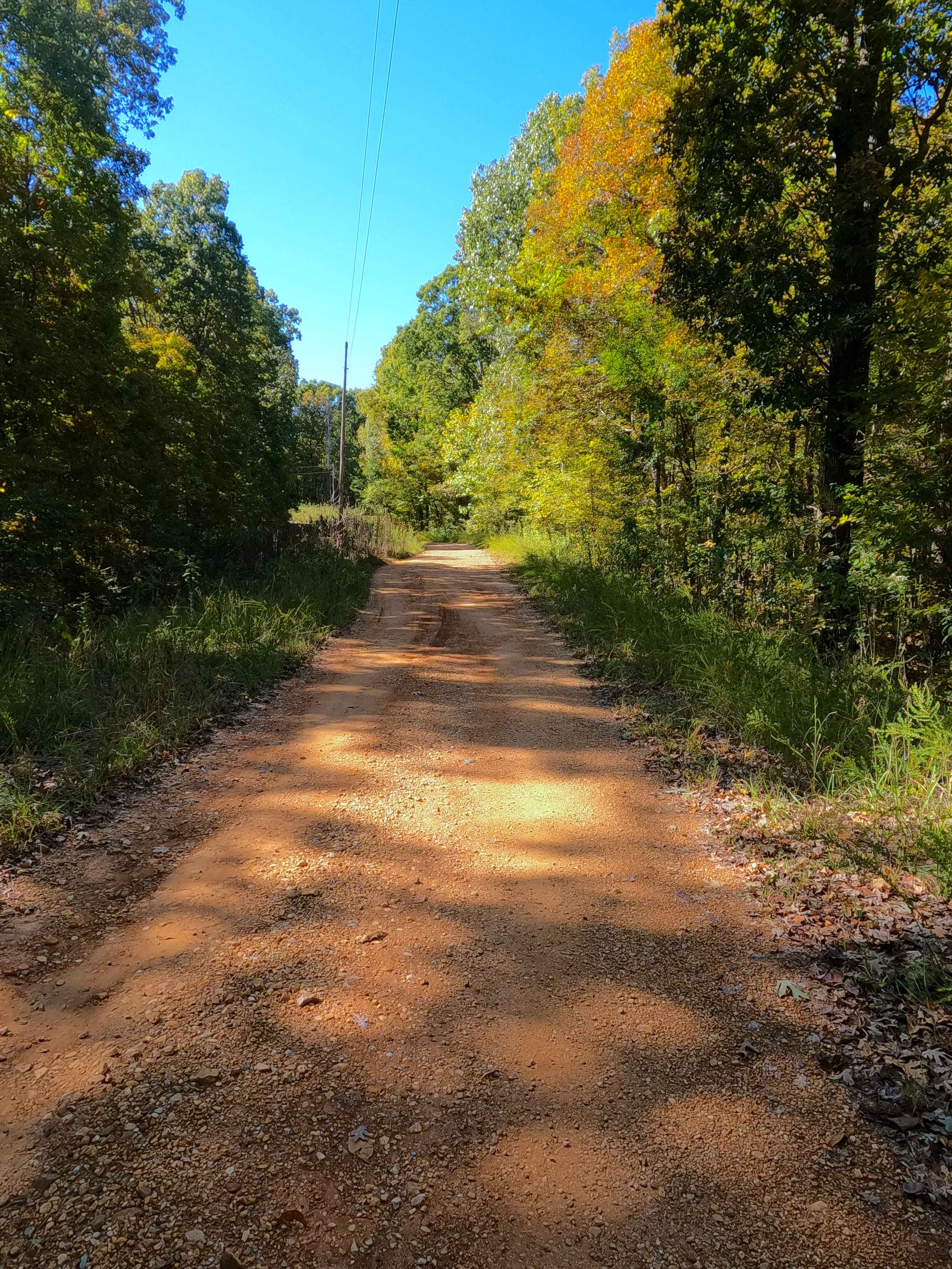
Shaw Branch - FS 154
Total Miles
1.4
Technical Rating
Best Time
Spring, Summer, Fall, Winter
Trail Type
Full-Width Road
Accessible By
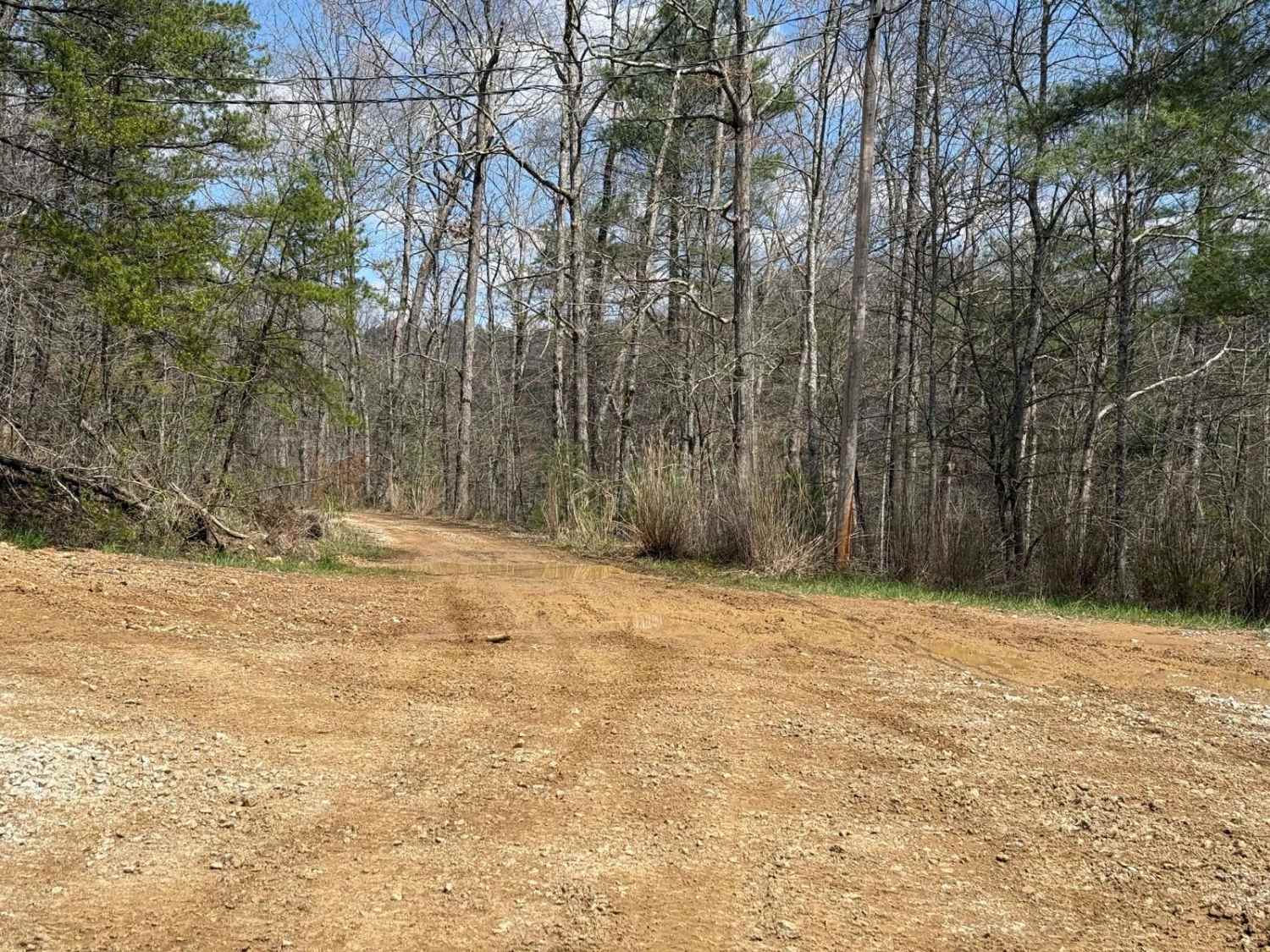
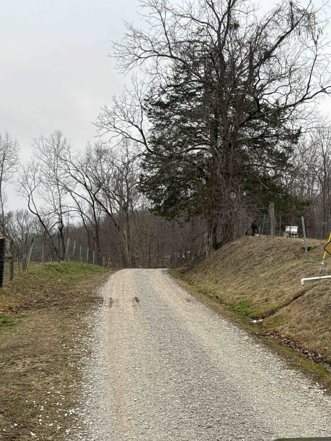
Trail Overview
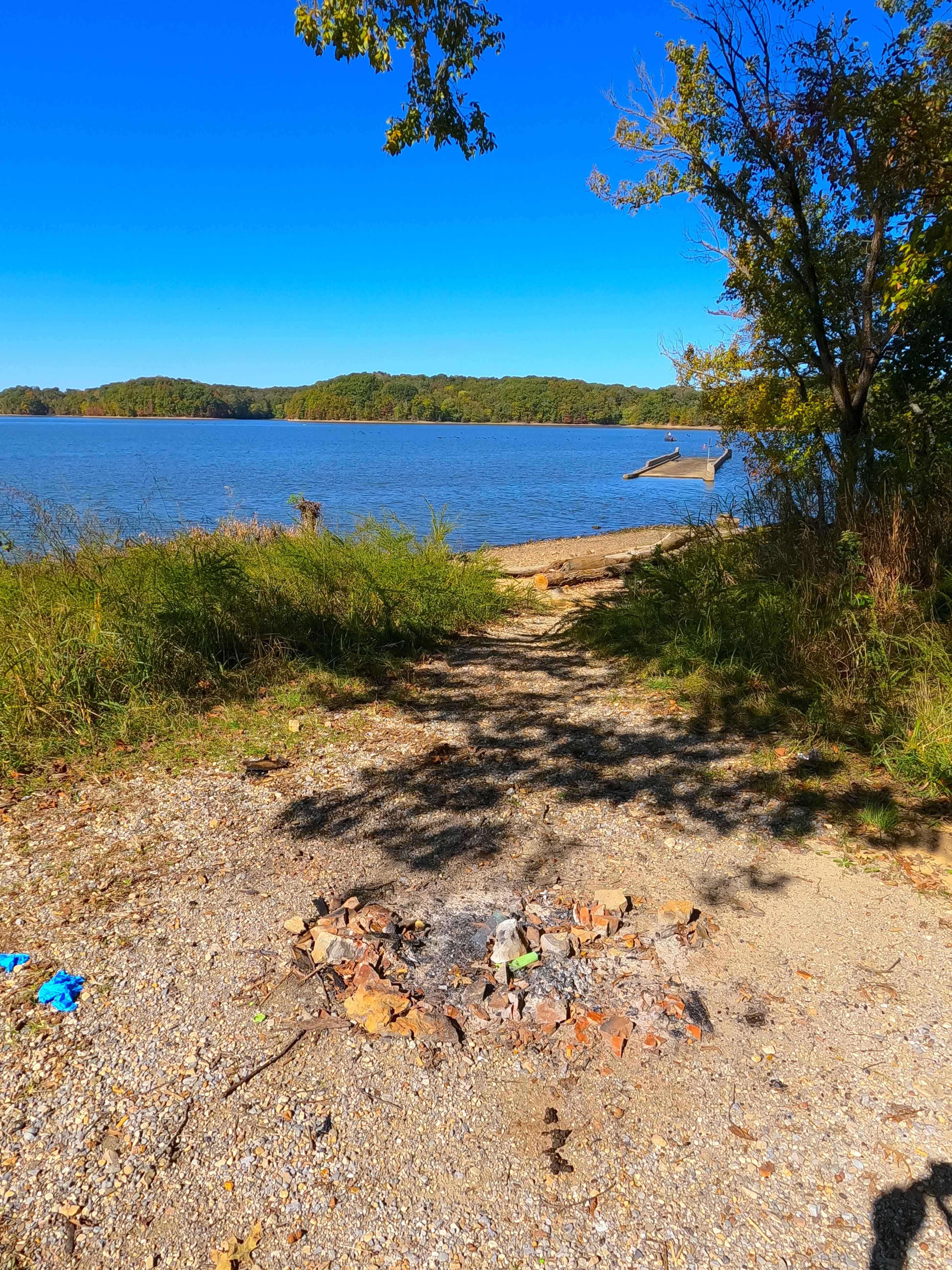
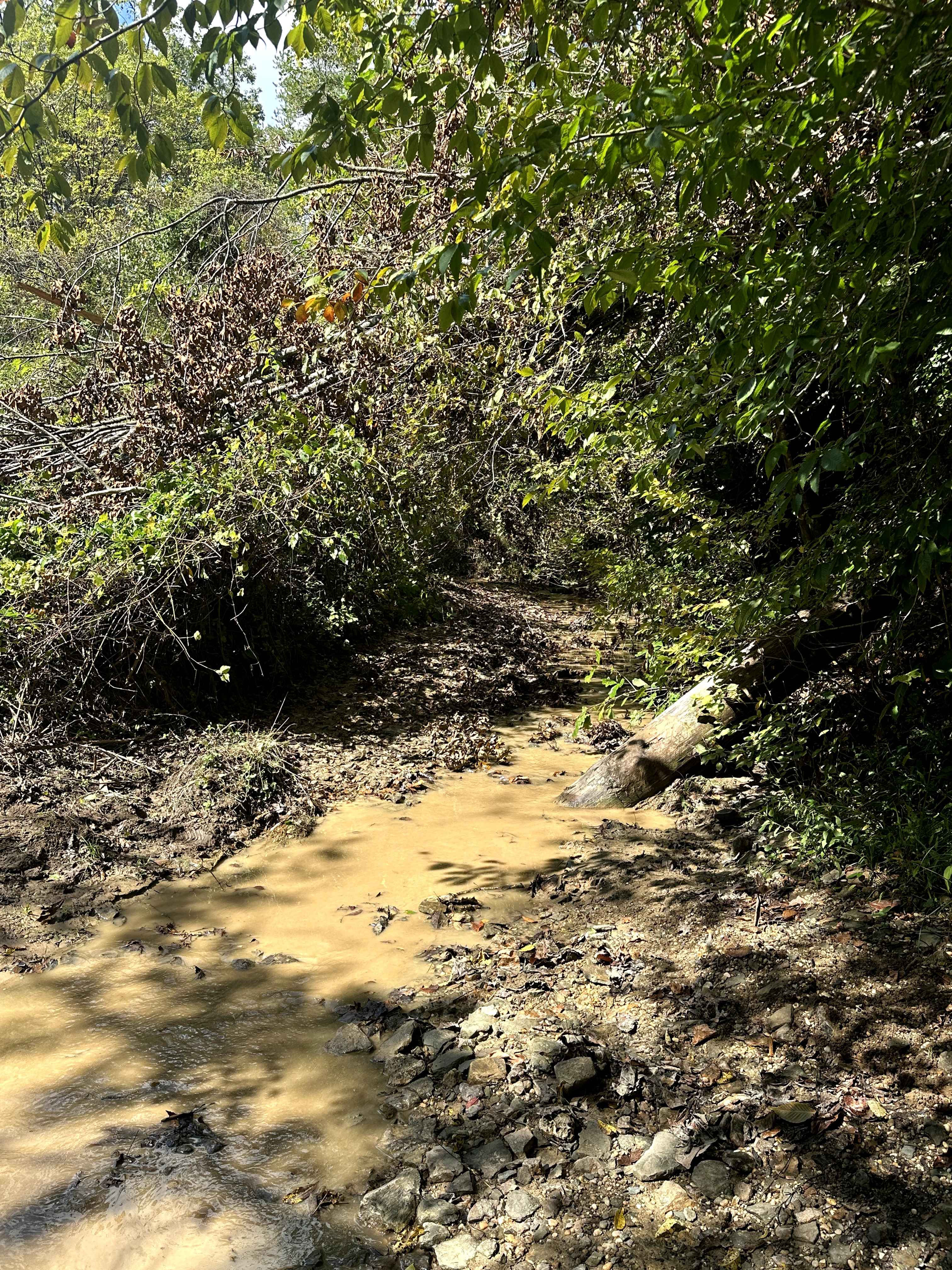
Shaw Branch Road (FS 154) is a gravel forest service road through the center-east Kentucky section, Lake Barkley side, of the Land Between the Lakes National Recreation Area. This route takes off from the Energy Lake Road (FS 134) heading northeast to a peninsula tip surrounded by three named bodies of water, being Crooked Creek Bay to the north and west, Shaw Bay to the southwest, and Lake Barkley to the east. The road gets to this point, traversing the mild spines of the ridge via a semi-maintained gravel road, with erosion ruts, with sections of coarse natural gravel, natural rock sticking out of the surface, and bare dirt/clay. The road concludes, meeting and following the trunkline of old Kentucky Route 289 until it meets the water at a boat ramp, and then turns around. Looking north at the turnaround, there is a view from the past, the old Kentucky Route 289 bridge over Crooked Creek, at least, if it is above water in the winter pool season (fall into spring), otherwise it is only marked by signs warning watercraft of its presence just under the water (more info in the history section). Ultimately, a scenic road with views of three bodies of water, leading to historic former roads pre-1966, when Lake Barkley was created.
Photos of Shaw Branch - FS 154
Difficulty
Given a base rating of 2/10, for having ruts with 12 inches or less of depth, cobble-sized (10 inches or less) natural rock lying on the trail or poking out at the surface, and small splash depth water collection spots. Potential surface clay-like mud on the sections of the road that fade to dirt. Difficulty could increase in wet conditions, heavy use, or a lack of maintenance.
History
The former Crooked Creek Bridge, as part of the old Kentucky Route 289, is a 160-foot-long one-lane bridge made of concrete. It once crossed the Crooked Creek before it was flooded in 1966 and became the bay we now enjoy today. It can only be seen when the water is in its winter pool, from fall to spring. When near the end of the FS 154 at 36.85861, -87.99389, the road follows the old 289's track northwest to the former Crooked Creek Bridge, the old KY-289 trunkline can be followed going the opposite direction (southeast) until it meets the waters edge and fades away at 36.85773, -87.99245. The history of the old KY-289 doesn't stop there. Old KY-289 historically ran right along the bottom of the eastern ridges of LBL or the western shore of Lake Barkley, connecting all the county roads that either became or were replaced with the Forest Service roads 154-158. These roads connected to the old 289 at roughly 25-200 feet in the water from the modern shoreline. The south end of old 289 started at the US Route 68 and KY-80, at 36.80202, -87.98454, going north all the way to the Crossroad Church (FS 123), which completely rests on the old 289 track, and hosts its northern endpoint, at 37.01368, -88.09205. Documented by Christopher Menz 10/25
Status Reports
Shaw Branch - FS 154 can be accessed by the following ride types:
- High-Clearance 4x4
- SUV
Shaw Branch - FS 154 Map
Popular Trails

Twin Lakes South - FS 105
Sand Gap Road (FSR 731)
County Park Road
The onX Offroad Difference
onX Offroad combines trail photos, descriptions, difficulty ratings, width restrictions, seasonality, and more in a user-friendly interface. Available on all devices, with offline access and full compatibility with CarPlay and Android Auto. Discover what you’re missing today!