Sand Gap Road (FSR 731)
Total Miles
2.2
Technical Rating
Best Time
Spring, Summer, Fall
Trail Type
High-Clearance 4x4 Trail
Accessible By
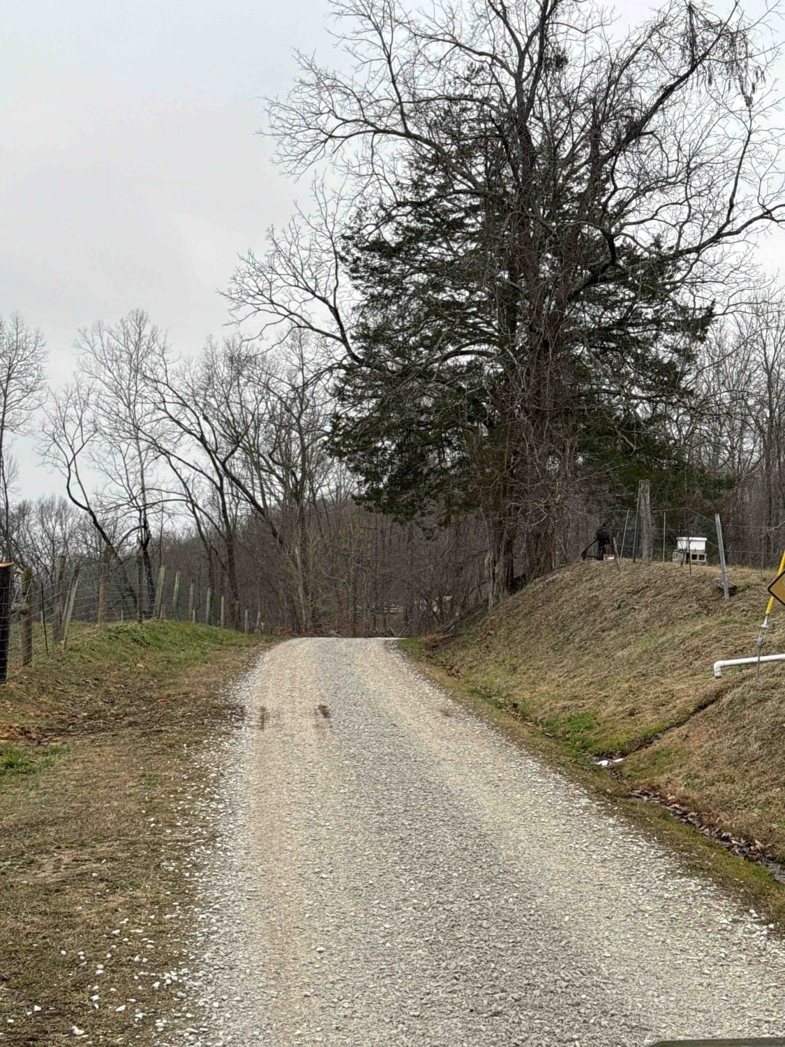
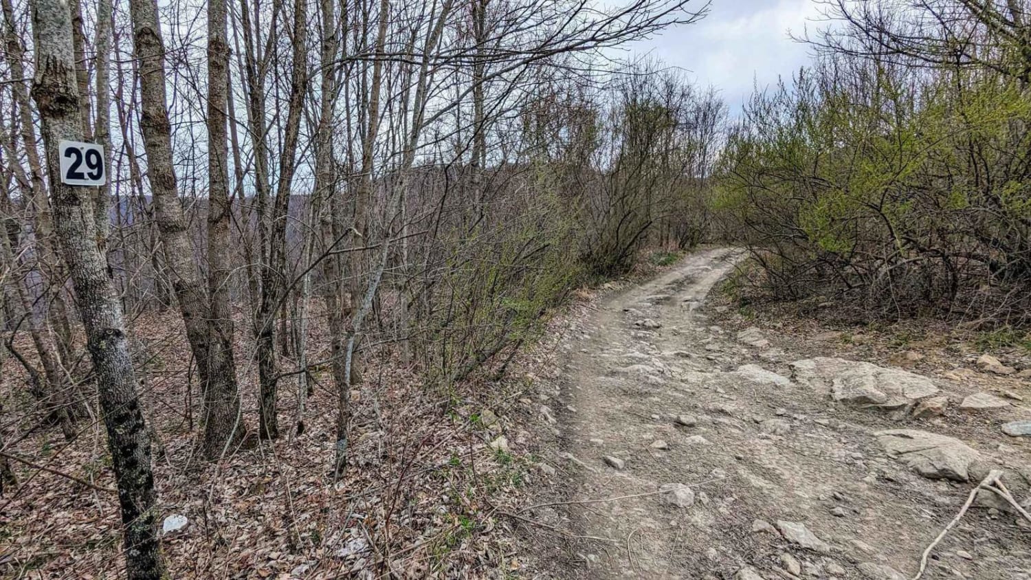
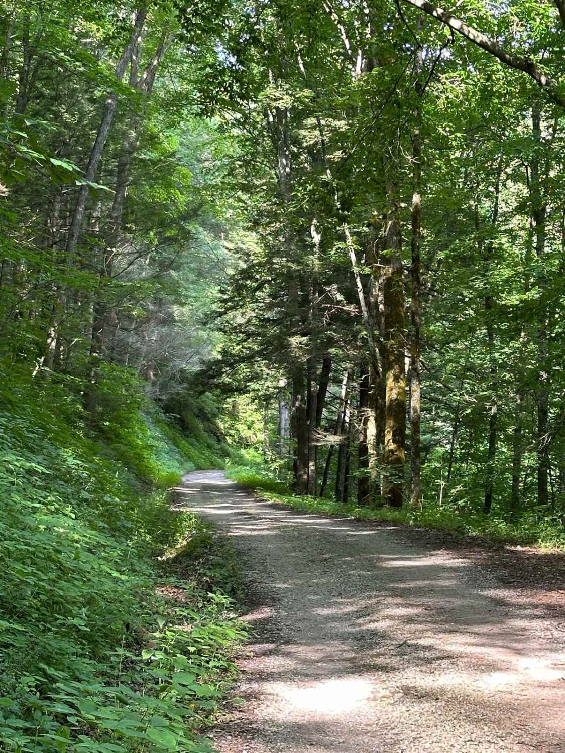
Trail Overview
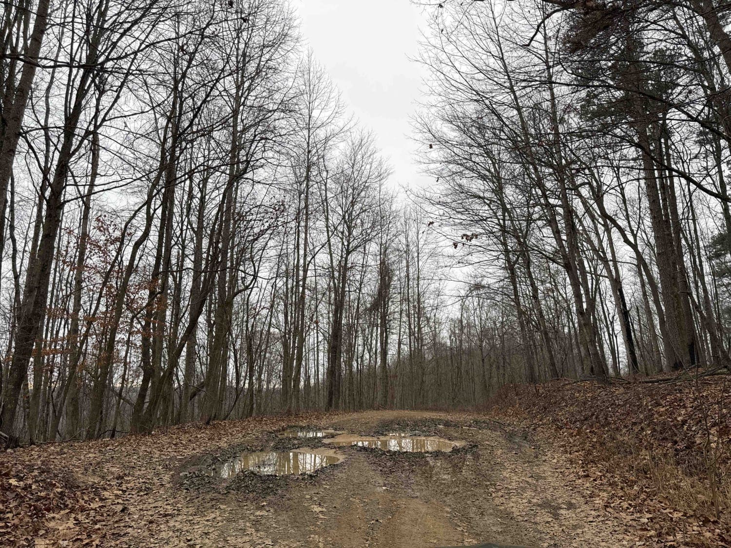
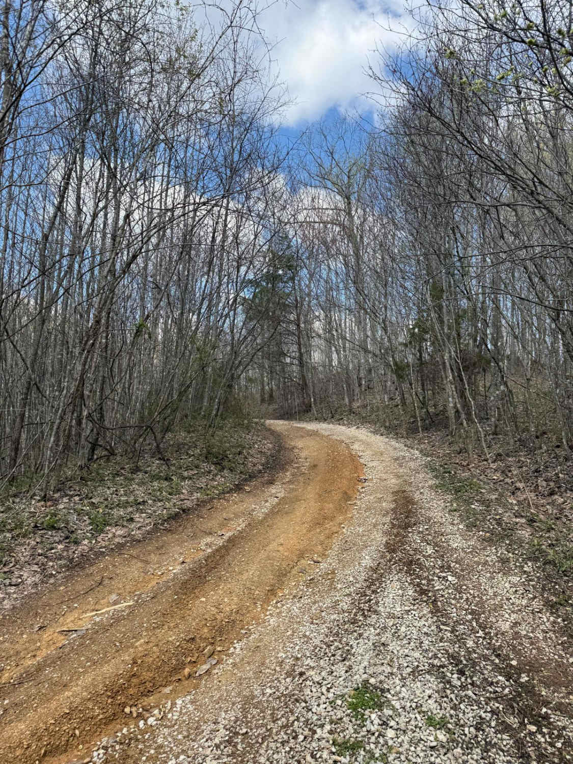
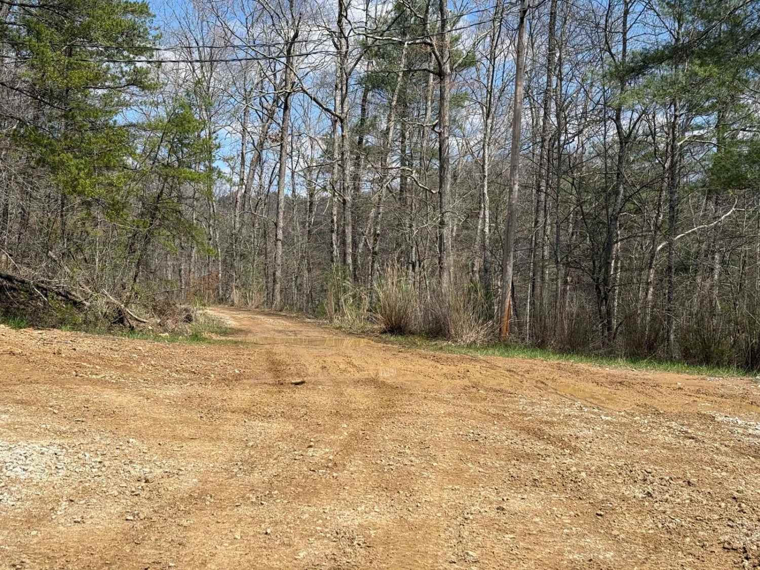
This is a dead-end Forest Service road. It likely has spectacular fall foliage, and there is a small cave entrance labeled on the Forest Service map. The "cave entrance" is less than expected, with litter and beer bottles spread around the area. Otherwise, this is a simple out-and-back trail with a graded turnaround at the end of the trail. There are several downed trees, with very little room on either side of the path to cut through. There are some mud puddles, but they have a stable bottom for the most part.
Photos of Sand Gap Road (FSR 731)
Difficulty
This trail starts out as gravel, but turns into a muddy road just a little ways in. Obstacles are smaller than 1 foot and mud puddles are not super deep. The trail is tight, so wider vehicles will find it difficult to navigate unless someone brings a chainsaw and widens the area with the downed limb.
Status Reports
Sand Gap Road (FSR 731) can be accessed by the following ride types:
- High-Clearance 4x4
- SxS (60")
Sand Gap Road (FSR 731) Map
Popular Trails
Pine Flat - Laurel Fork Road
The onX Offroad Difference
onX Offroad combines trail photos, descriptions, difficulty ratings, width restrictions, seasonality, and more in a user-friendly interface. Available on all devices, with offline access and full compatibility with CarPlay and Android Auto. Discover what you’re missing today!