Lairson Road
Total Miles
3.6
Elevation
276.89 ft
Duration
0.5 Hours
Technical Rating
Best Time
Summer
Trail Overview
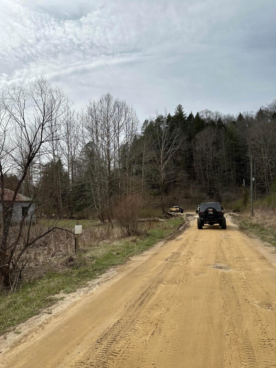
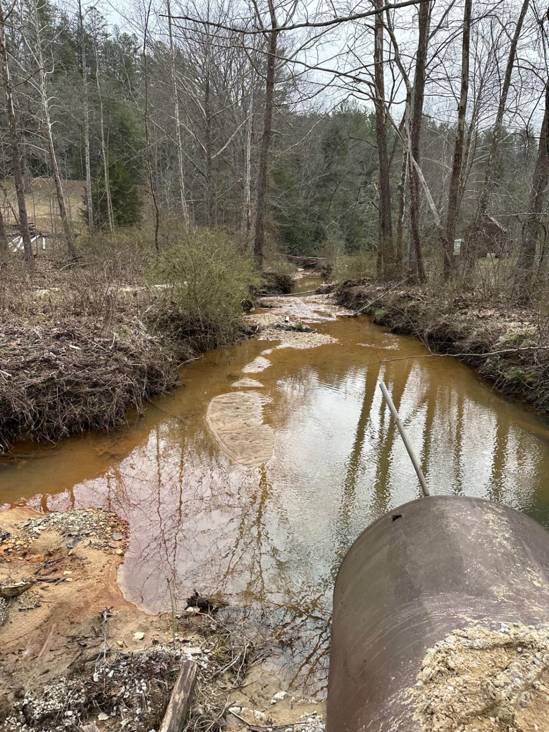
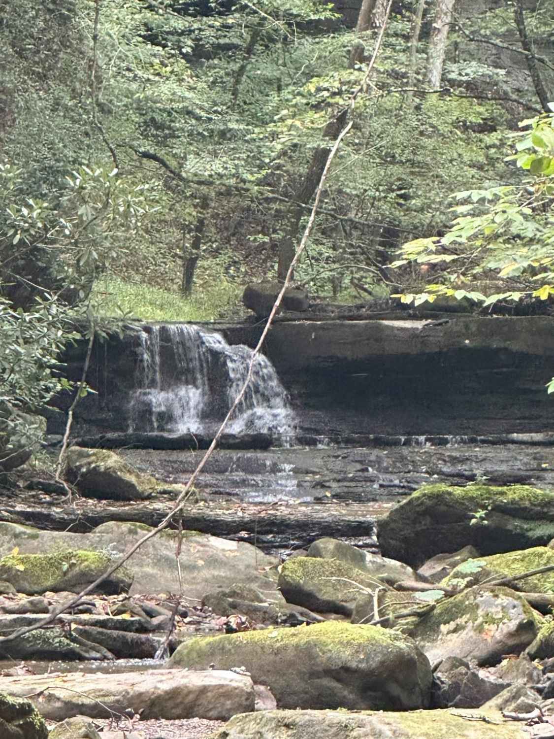
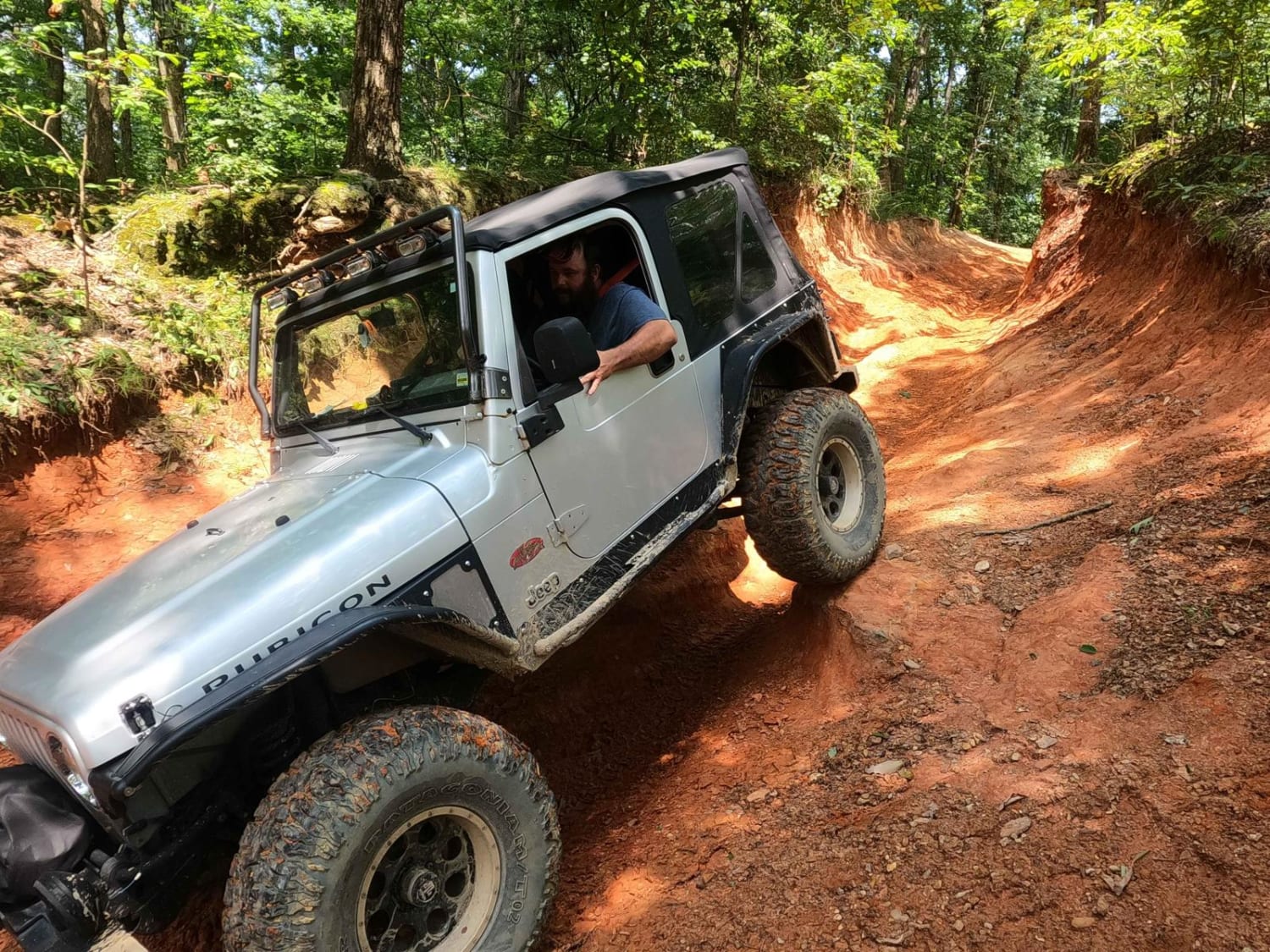
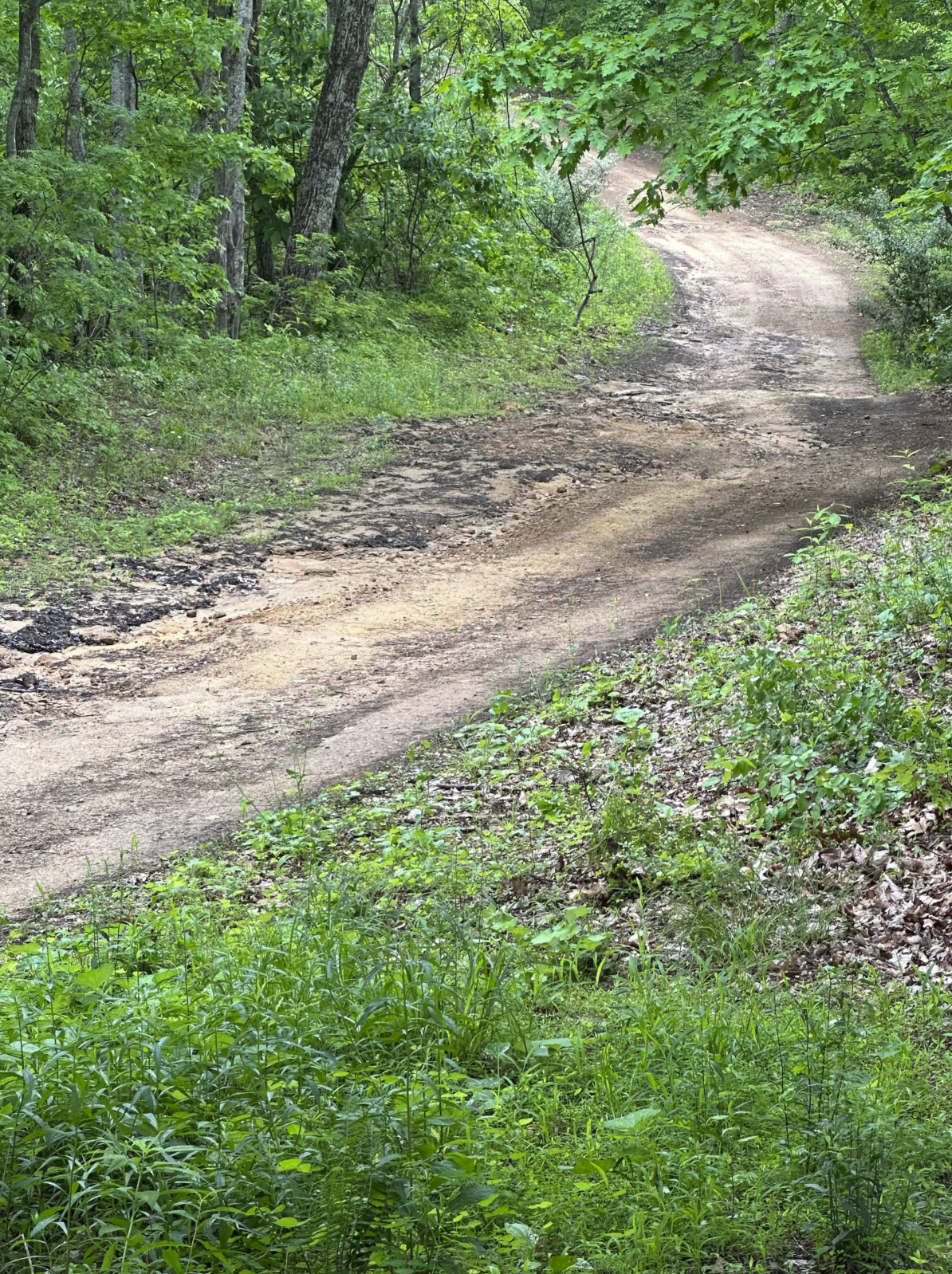
Lairson Road is a two-lane dirt road that winds through the county side following Big Sinking Creek. We then ended up on Fixer Road making for a nice scenic ride. The trail/road is not difficult but a nice drive taking us to our destination for more exploring in the Slade Kentucky area.
Photos of Lairson Road
Difficulty
Rated the trail a 1 since this dirt road mostly 2 lane.
Status Reports
Dmitriy Maksimenko
Jul 13, 2024
4x4
Open
Normal
2wd trail basically dirt road
James Smith
Jul 11, 2024
2024 Ford Bronco
Open
Muddy/Wet
Steven Hamm
Jun 24, 2024
4x4
Open
Nice little dirt and gravel road with some scenery. Nothing technical. Looks to have recently been regraveled with some areas being loose gravel. Any SUV should be to do it. Some cars should be able to as well.
Carl Gerall
Jun 22, 2024
2024 Jeep Wrangler
Open
Popular Trails
![Tornado Valley FSR 112](https://photos.production.onxmaps.com/production-onxmaps/image/upload/c_limit,f_auto,h_1500,q_auto,w_1500/v1/public/86b19a15-1892-4a5c-a954-cb908ecaa699.jpg)
Tornado Valley FSR 112
Total Miles
5.8
Tech Rating
Best Time
Sp / Su / Fa / Wi
![Ironton Road II - FS 144](https://photos.production.onxmaps.com/production-onxmaps/image/upload/c_limit,f_auto,h_1500,q_auto,w_1500/v1/public/a38a0ffa-65ad-4c4c-bcb8-cfdc0455b145.jpg)
Ironton Road II - FS 144
Total Miles
4.4
Tech Rating
Best Time
Sp / Su / Fa / Wi
![Vickers Ridge Road - FS 336](https://photos.production.onxmaps.com/production-onxmaps/image/upload/c_limit,f_auto,h_1500,q_auto,w_1500/v1/public/93978929-5d19-4a51-8133-b744de8ec420.jpg)
Vickers Ridge Road - FS 336
Total Miles
1.8
Tech Rating
Best Time
Sp / Su / Fa / Wi
Go Farther
Try onX Offroad Elite for free for a week — no strings attached. Get access to thousands of off-road dirt trails and snowmobile trails across the nation. View your favorite zones in 3D. Send trails to friends. Start planning the trip of a lifetime now.