Scout Trail - FS 141
Total Miles
5.8
Technical Rating
Best Time
Spring, Summer, Fall, Winter
Trail Type
Full-Width Road
Accessible By
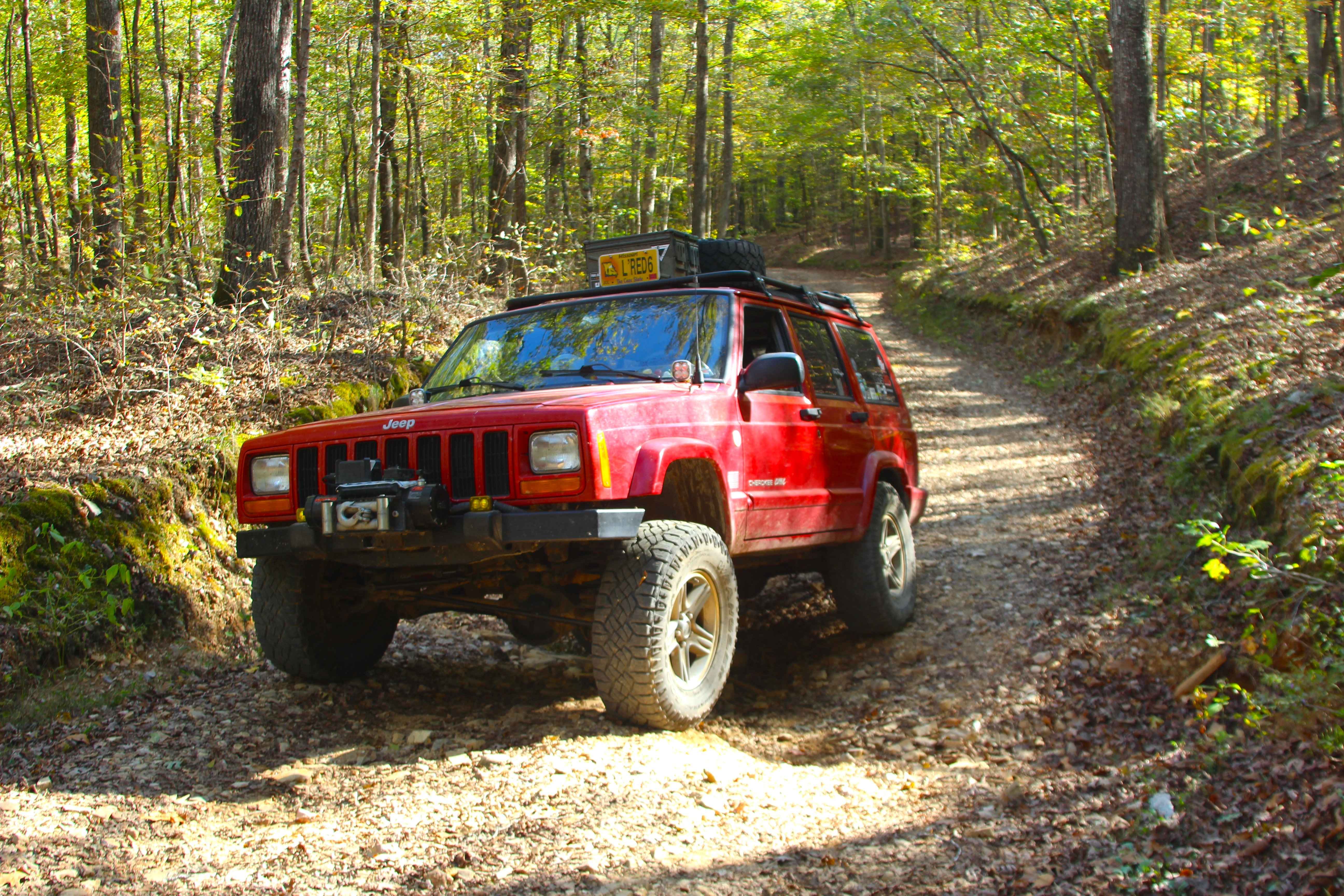
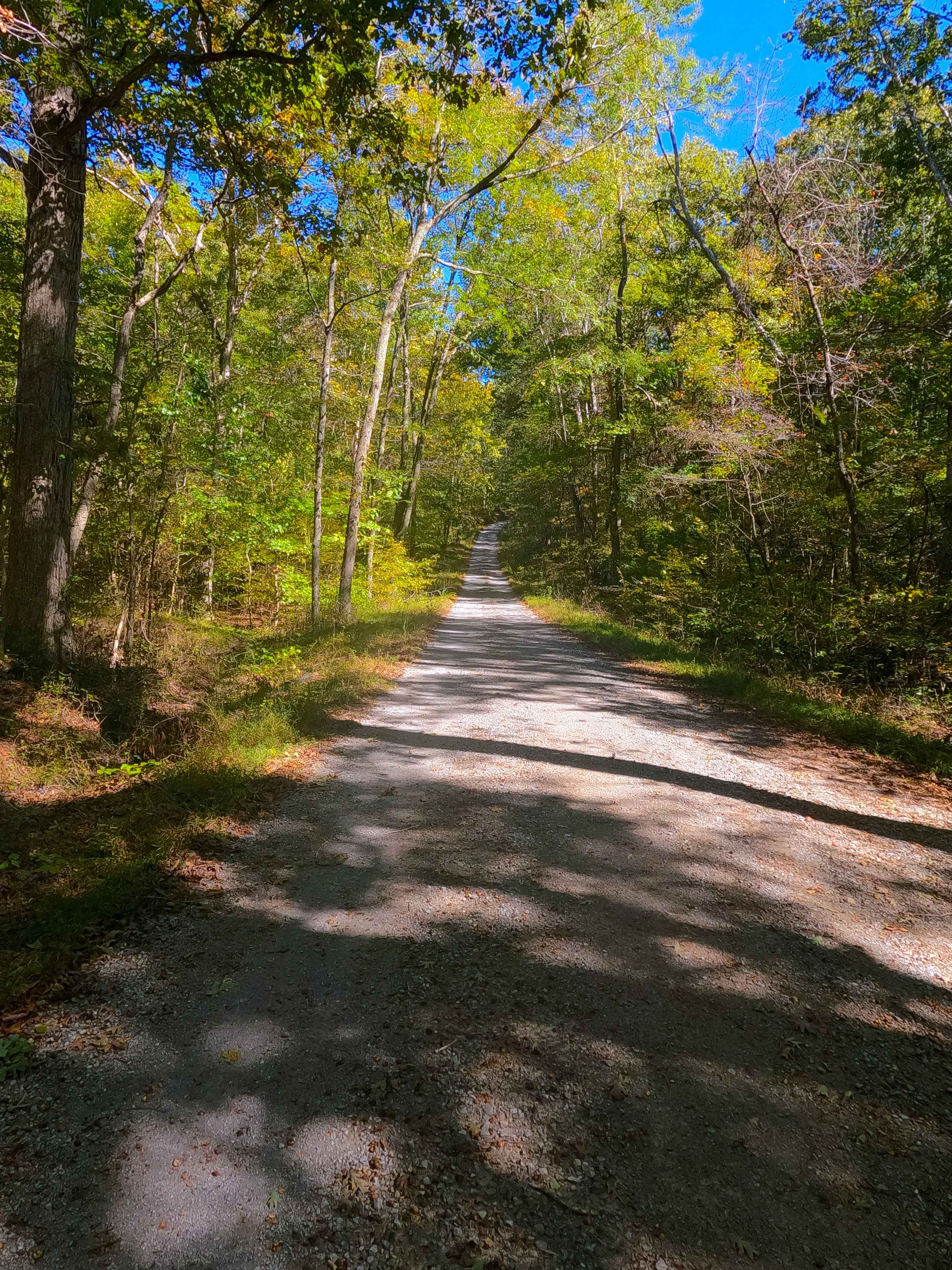
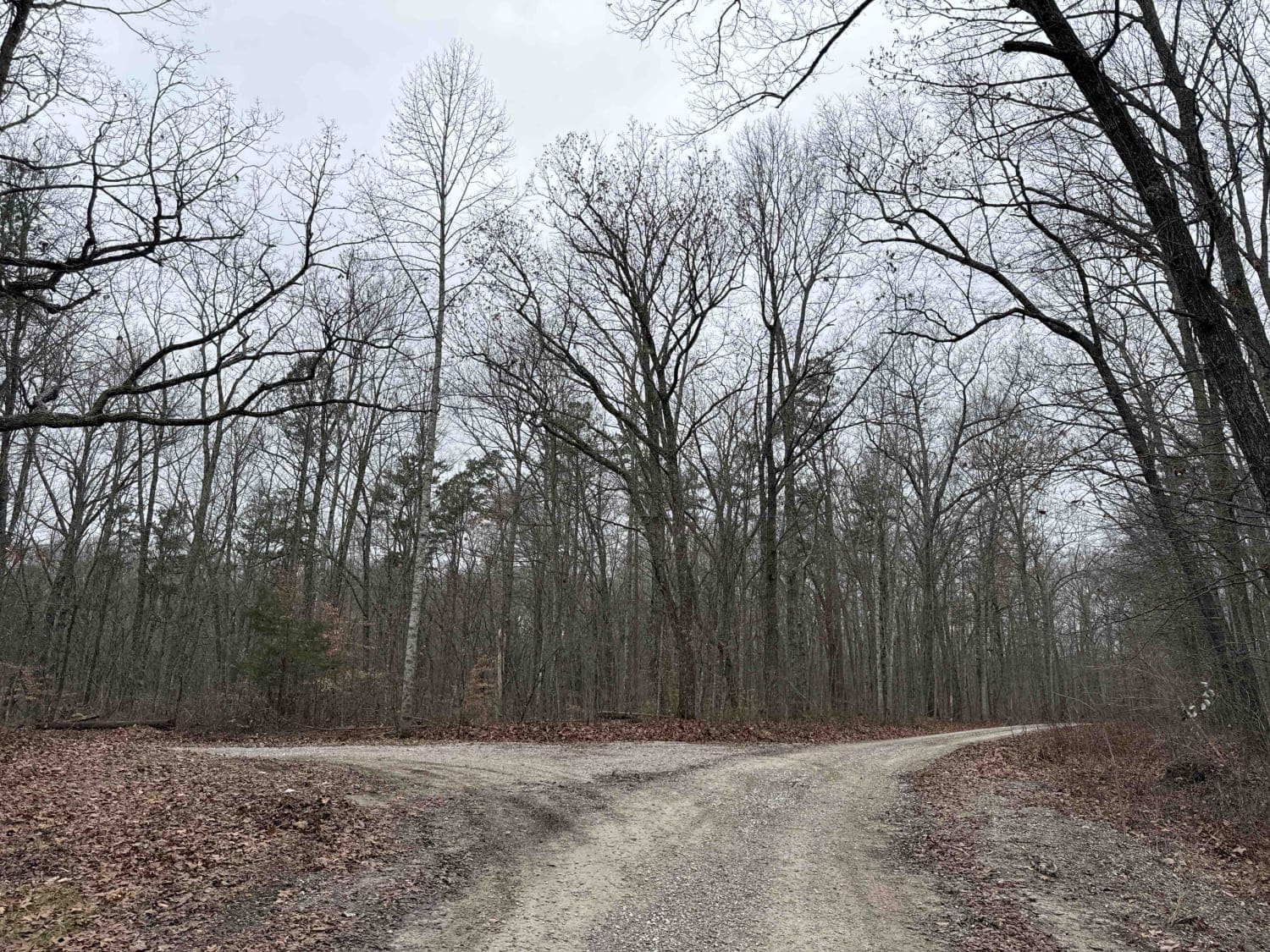
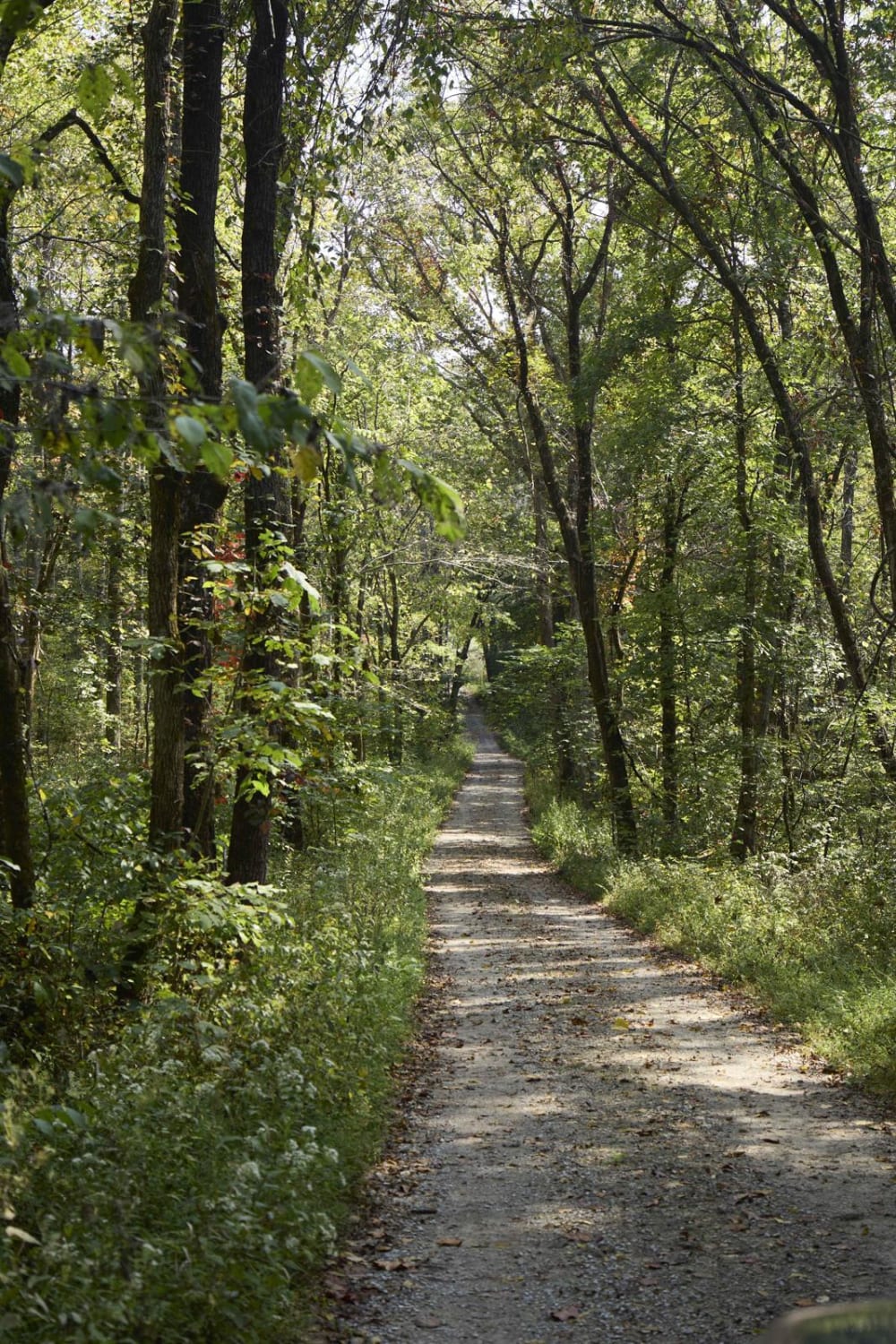
Trail Overview
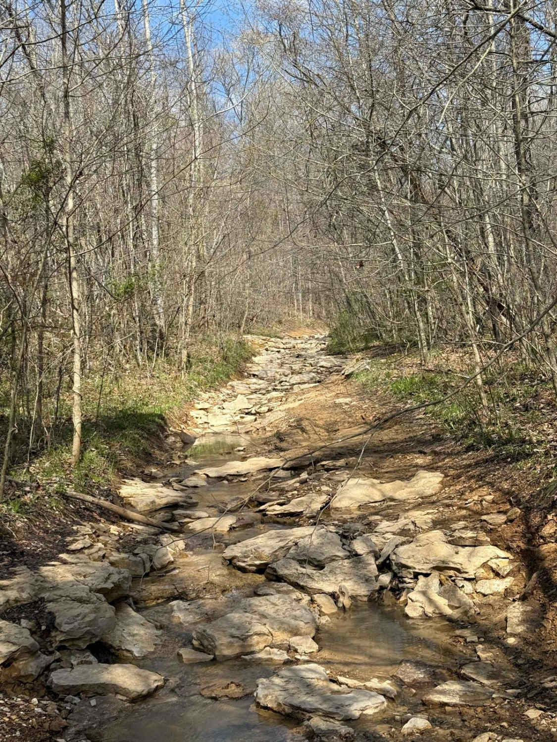
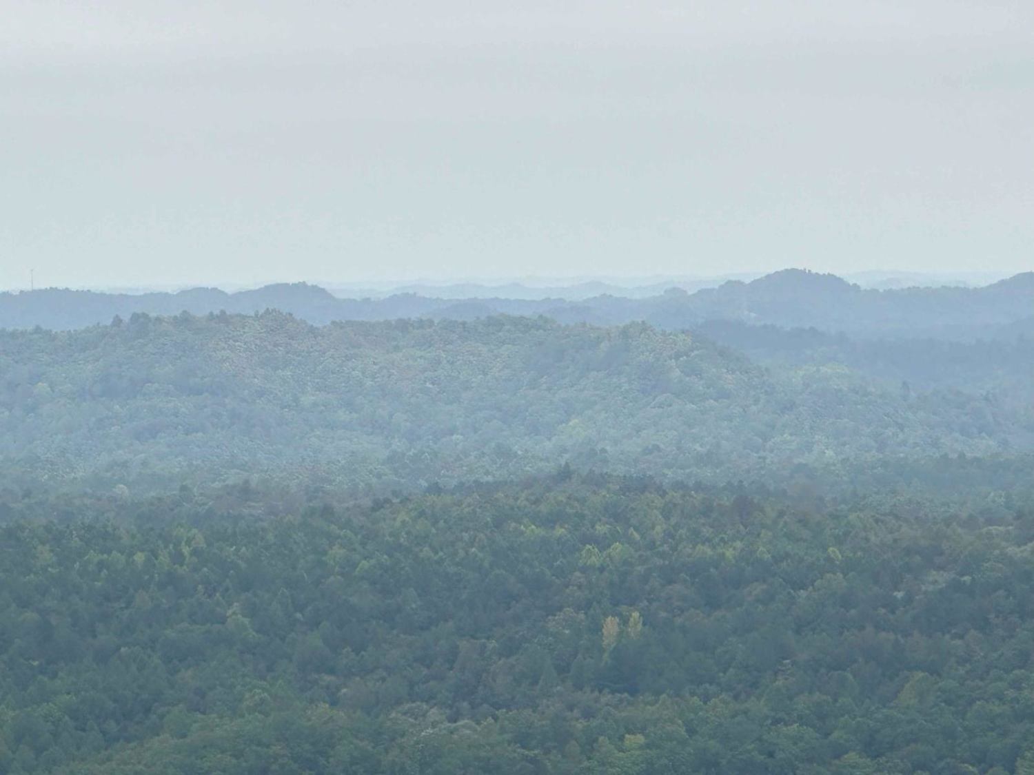
Scout Trail (FS 141) is a gravel and natural-improved forest service road through the center-west Kentucky section, paralleling one mile inland from Kentucky Lake, within the Land Between the Lakes National Recreation Area. The FS 141, on its southern end, begins forking west off the Woodland Trace (FS 100), midway passing the Higgins Bay Road (FS 142), and ends on the north end at the Ironton Road I (FS 140). The road features its highest point at the ridge on its south end, gradually tracking downhill over a semi-maintained curvy, windy gravel road, before meeting the center and northern portion of the track featuring low lands where to road leans into the natural side, featuring creek crossings, erosion ruts and washes, water collection spots, with natural creek gravel terrain in the creek bottom sections hosted by the valleys that hold the Vickers, Rhodes, and Higgins Bays, with the ridges in between featuring mild grades going up and down hill, with blown-out culverts, active erosion ruts, and water collection spots on the hill tops. Along the way, the road passes 7 nearby cemeteries, the former Oak Ridge School, and accesses/intersects/parallels with the North South Trail at 3 different spots, and at its northern end is only 0.5 mile away from the former settlement of Ironton, Kentucky. Scout Trail is a mild road with subtle challenge and thrill, traversing the ridges high and valleys low, surrounded by loads of nearby history and views that the Land Between the Lakes is known for having.
Photos of Scout Trail - FS 141
Difficulty
The Scout Trail is given a base rating of 3/10, for having foot-deep erosion ruts, splash to foot deep water at the creeks and water collection holes, blown-out culverts that quickly drop a foot and then climb back up a foot, deep potholes, surface mud, mild graded incline/declines, with loose creek gravel forming whoops, and mounds to traverse over in the creek sections. It is also safe to expect mounding of the gravel, washboards, and potholes in the better-maintained sections of road. Difficulty can increase primarily in the form of water levels increasing in the creek bottom sections, but also due to heavy use, lack of maintenance, inclement weather, and wet seasons. If the road were to be mended by being graded and resurfaced with fresh gravel, it could drop in difficulty as low as a 2/10, with the likelihood that the creek bottom sections will always have water at splash levels and loose creek gravel terrain at a minimum.
History
In OnX Offroad History, the early days of the OnX Offroad service, large routes were more so common, as to cover more ground and gave a broader idea of what a larger geographical region looked like. Within LBL this included "Geezers Part 1" which included (from north to south) the FS roads 316, 139, 318, 140, and 141, forming an 11-mile route looping with the Woodland Trace FS 100. Geezers was broken down in late 2025 to give a more accurate and detailed look at each of these roads individually, except FS 140, which is paved.
Status Reports
Scout Trail - FS 141 can be accessed by the following ride types:
- High-Clearance 4x4
- SUV
Scout Trail - FS 141 Map
Popular Trails
Tussey Hill Road
Ugly Creek - Mammoth Cave NP
The onX Offroad Difference
onX Offroad combines trail photos, descriptions, difficulty ratings, width restrictions, seasonality, and more in a user-friendly interface. Available on all devices, with offline access and full compatibility with CarPlay and Android Auto. Discover what you’re missing today!