Coltin Howard
Dec 27, 2025
2006 Honda Rancher 350
Open
Muddy/Wet
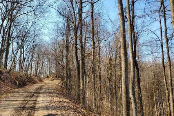
Nice trail with a lot of creek crossings and deep mud puddles.
Cody Boggs
Dec 12, 2025
2005 Ford Excursion
Open
Snow/IceMuddy/Wet
Looked pretty good, had a blast
Dan
Nov 30, 2025
2024 Ford Bronco
Open
Muddy/Wet
North to south, lots of ruts and puddles, but none of them were too boggy. First time on this trail and had some difficulty knowing which path to take, the map doesn't necessarily indicate the exact location along the way. That being said, there were no points that we couldn't get past solo.
Jenny Smith
Nov 30, 2025
Open
Muddy/Wet
This trail used to be a 4. It’s easily a 6 now. Some very rutted places. If you’re not lifted you’re going to drag in several spots. We didn’t have problems but I can easily see how some would. Lots of deep ruts. Lots of flexy spots. Great trail. But it’s a 6. At least it was today. What I love about Spaas is it’s always so different.
Sarah Kabakoff
Nov 28, 2025
2024 Toyota Tacoma
Open
Muddy/WetRough/Deteriorated
Lots of fun. Drove south to north. The last mile has some tricky spots. Drove it in a stock Tacoma trailhunter. No issues. Very wet and muddy
kaine crampton
Nov 11, 2025
2024 GMC Canyon
Open
NormalMuddy/WetSnow/Ice
nice trail, not too difficult just take it slow
Bart Welte
Nov 01, 2025
Open
Muddy/Wet
Nice trail that has a little bit of everything. I would say it's probably a 4 going south and a 5 going north. If it's raining, even tougher to go north for an extra challenge. Made it south on 32s and lockers without any real issues.
Gary Mccartney
Oct 25, 2025
2023 Chevrolet Colorado
Open
NormalMuddy/Wet
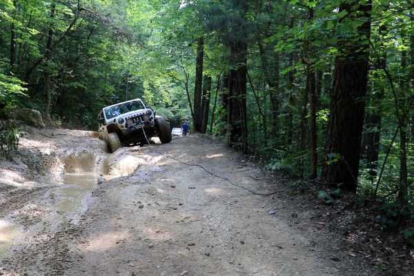
The trail was in good shape not to wet for Spaas, the only places that were wet were the mud holes. Someone has stacked rocks in the chute in order to help climb the ledge so be careful there.
Sr Rockwell
Sep 23, 2025
2023 Ford Bronco
Open
Muddy/WetRough/Deteriorated
historical monument on trail. pull top can PepsiCo. can u find it on trail? lol. watch the trail changes an not to follow the creek bed. large holes are not as deep as they look. only bottomed out 2 times in stock 2dr badlands on 33s. we drove up the trail from the south end was a great find on a leisure back roads drive out of TN.
Noah Doran
Jul 30, 2025
Open
Muddy/WetRough/Deteriorated
Brad Barton
Jul 22, 2025
2022 Ford Bronco
Open
NormalMuddy/Wet
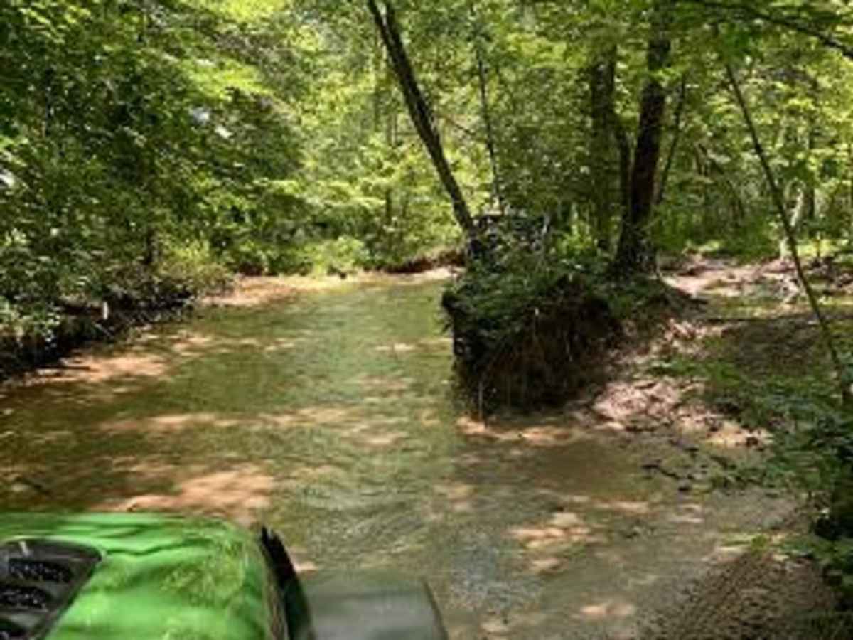
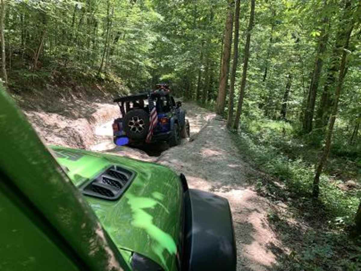
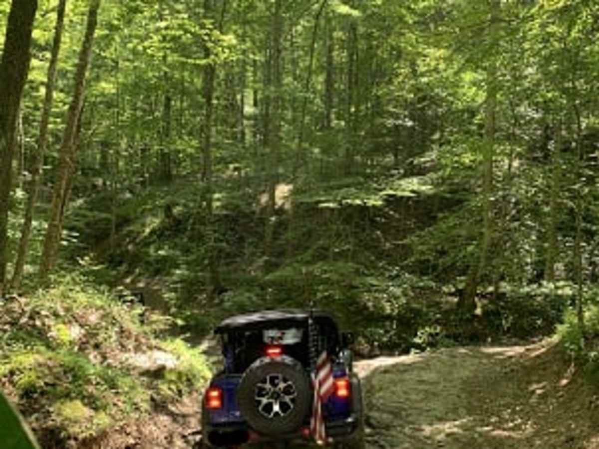
Do you like mud holes? Do you like driving in a creek? This is the trail for you. Very wet. Not terribly technical but some water holes were probably about 18” deep. Several “choose your own adventure” sections where you can drive the creek or a parallel path. Overall, good fun and took less than an hour.
Patrick John
Jun 09, 2025
2023 Jeep Wrangler
Open
Muddy/Wet
After some rains there were Lots of rutted out muddy sections but most have a bypass until you get to the northern part of the trail where there are Two decently deep mud holes with no bypass for a full size vehicle.
Haley dalton
Apr 12, 2025
Open
Muddy/Wet
Lots of mud holes fun day riding. Lots of people on four wheelers, dirt bikes, a 4Runner and a jeep so it’s clear to get through
denny huntey
Apr 10, 2025
Open
after all the water the trail has changed but still very easy. there are more small waterfalls on the trail than it use to be.
Zach Roll
Mar 25, 2025
2021 Jeep Gladiator
Open
First timer, so can’t really speak to conditions as normal or not. Hit this by myself in a Gladiator, 2.5” lift and 35s. Aired down to 20psi and had no issues. No need for lockers and didn’t use any recovery gear.