Pine Flat - Laurel Fork Road
Total Miles
3.1
Technical Rating
Best Time
Spring, Summer, Fall, Winter
Trail Type
Full-Width Road
Accessible By
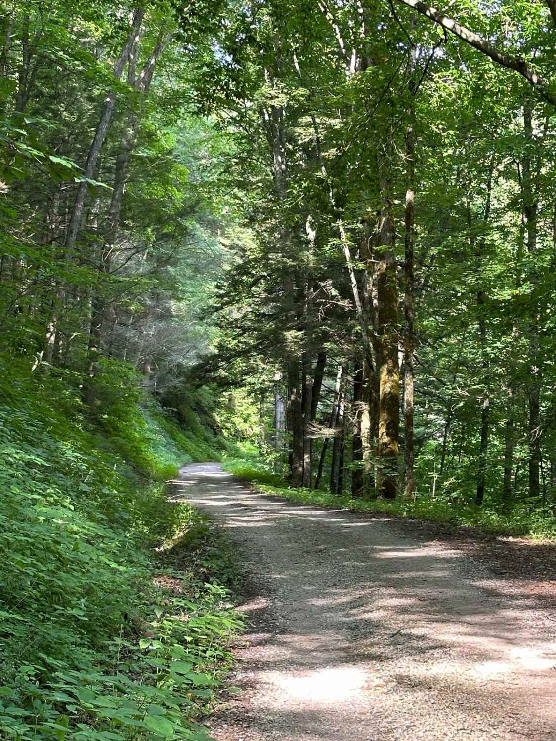
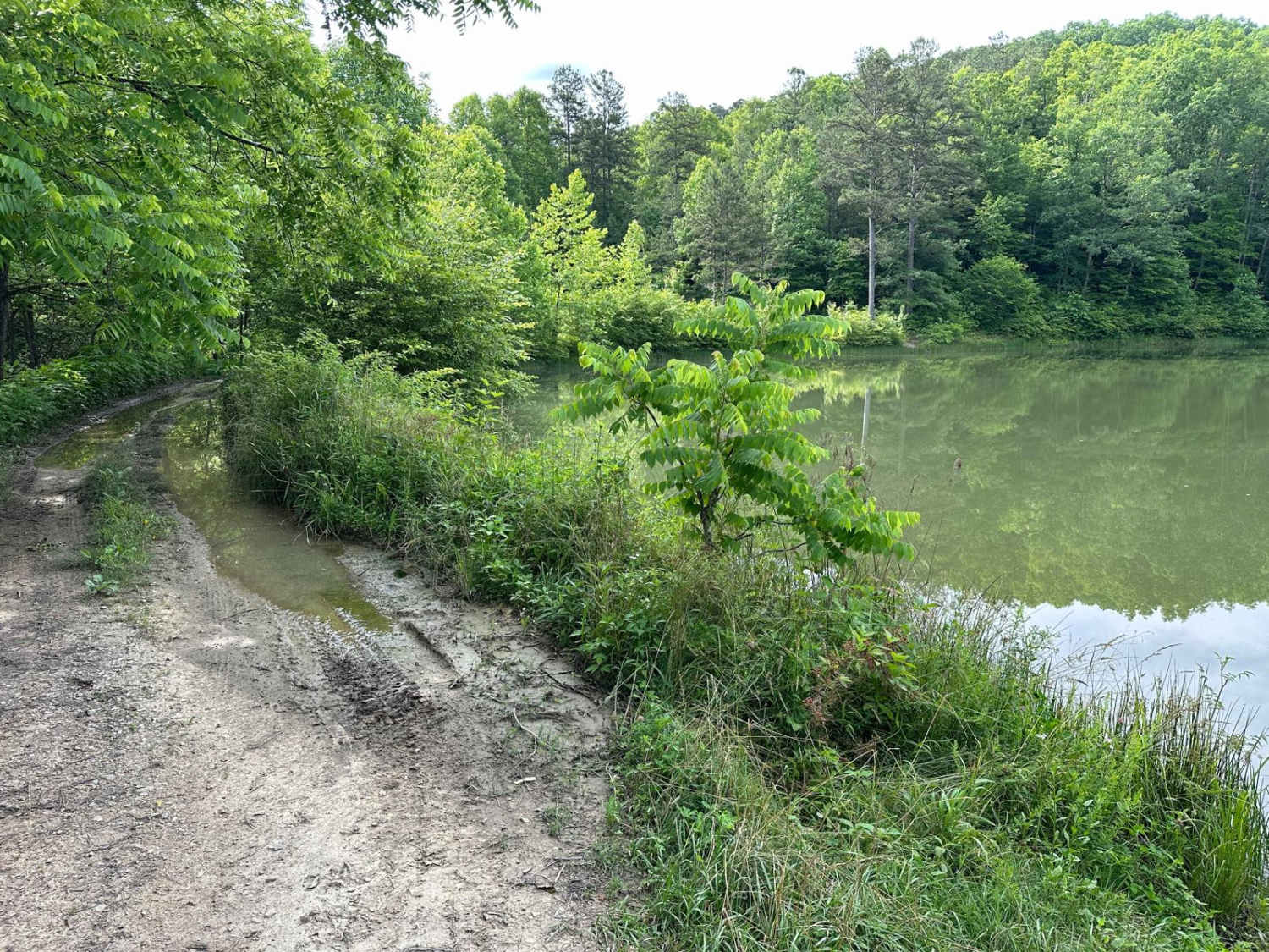
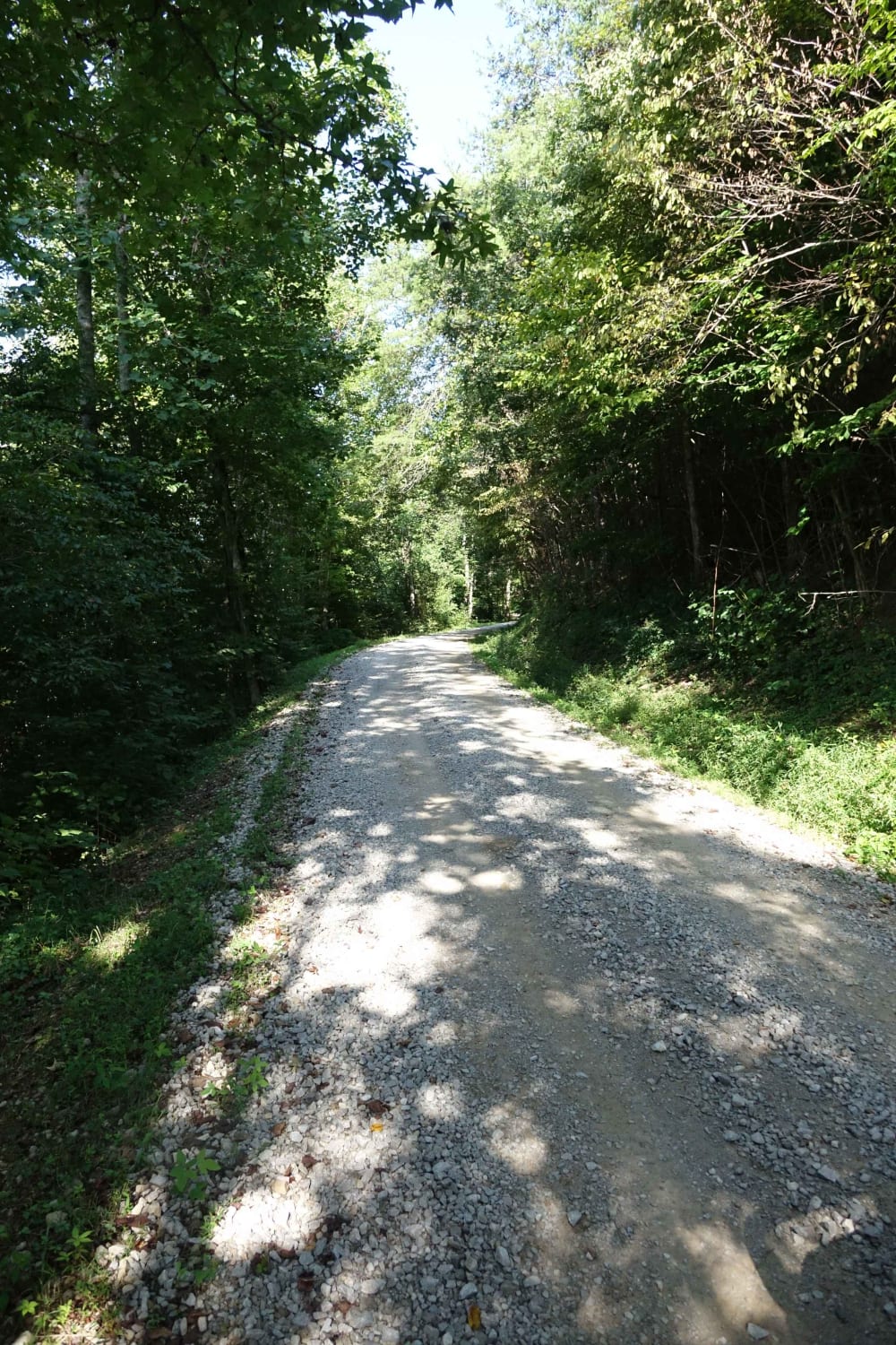
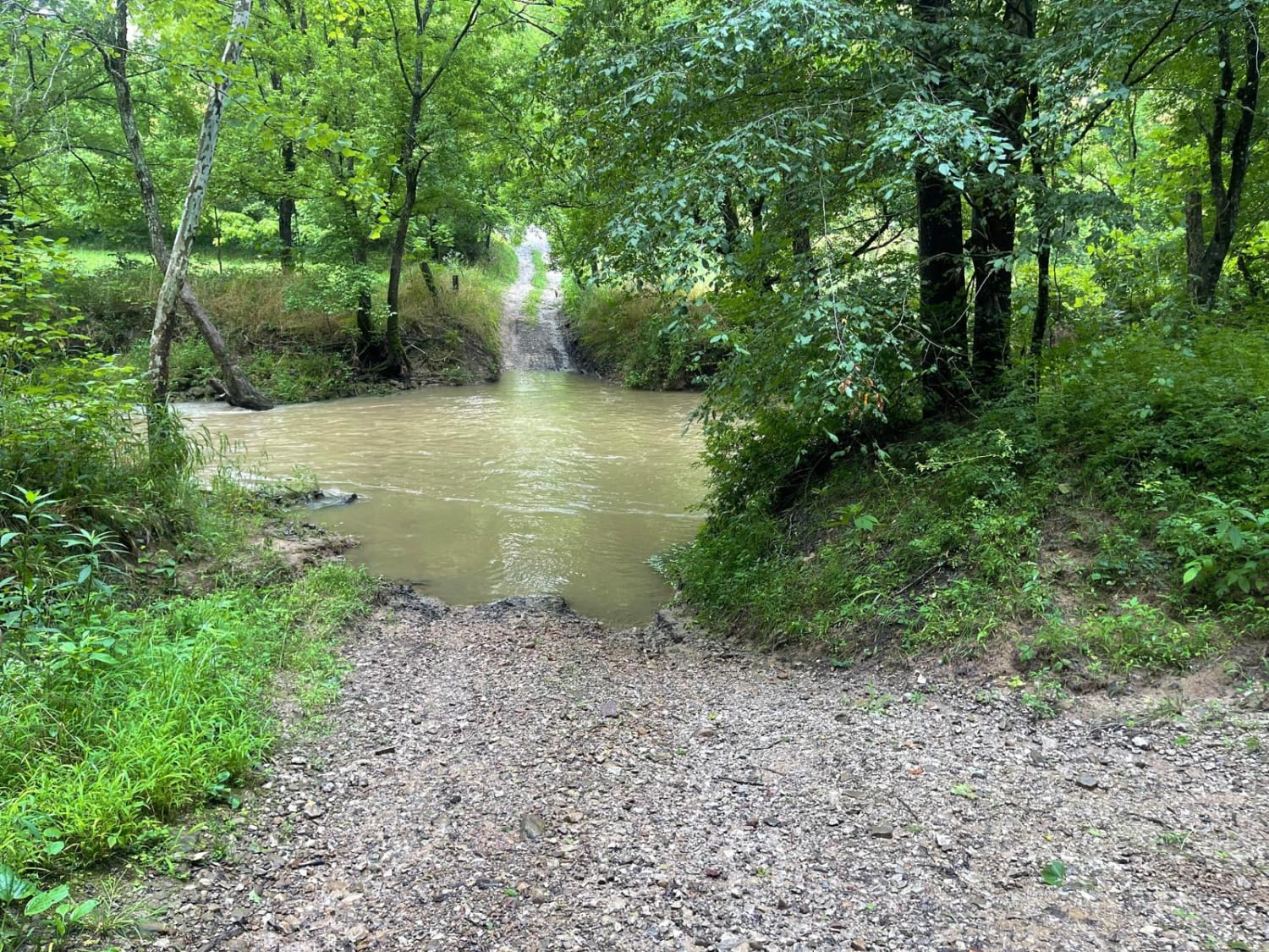
Trail Overview
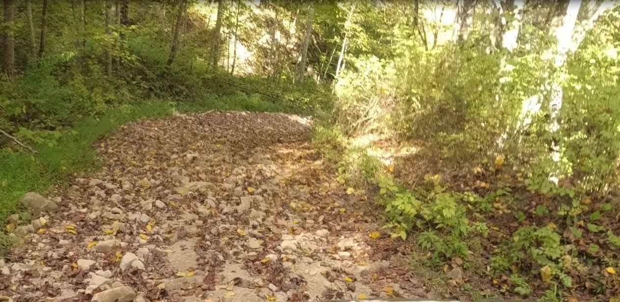
This starts on either side as a gravel-maintained route and then transitions to a more rough and technical area, as parts of the route are unmaintained. Some spots become tight between small trees. There is a short hill climb or descent with small ruts. The route travels along the Laurel Fork Creek and past a reservoir, which is a great location for camping. A water crossing is on the route that is less than 12 inches deep. The majority of the route is through the Daniel Boone National Forest.
Photos of Pine Flat - Laurel Fork Road
Difficulty
The majority of the route is easy. However, there is a short area in the middle that has water crossings, ruts, and fairly steep climbs/descents, where four-wheel drive will be needed. Additionally, a short section may become tight between small trees.
History
This trail is a county-maintained and partially unmaintained road part of the Daniel Boone Backcountry Byway.
Status Reports
Pine Flat - Laurel Fork Road can be accessed by the following ride types:
- High-Clearance 4x4
- SUV
Pine Flat - Laurel Fork Road Map
Popular Trails

High Ridge Towers
Indian Ridge Road - DBBB
The onX Offroad Difference
onX Offroad combines trail photos, descriptions, difficulty ratings, width restrictions, seasonality, and more in a user-friendly interface. Available on all devices, with offline access and full compatibility with CarPlay and Android Auto. Discover what you’re missing today!