High Ridge Towers
Total Miles
3.6
Technical Rating
Best Time
Spring, Summer, Fall, Winter
Trail Type
Full-Width Road
Accessible By
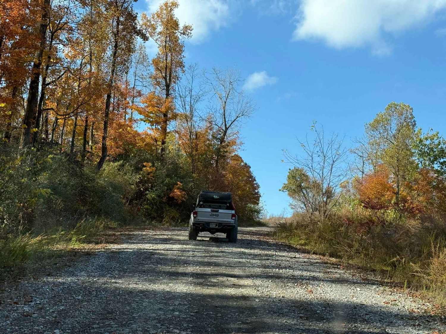
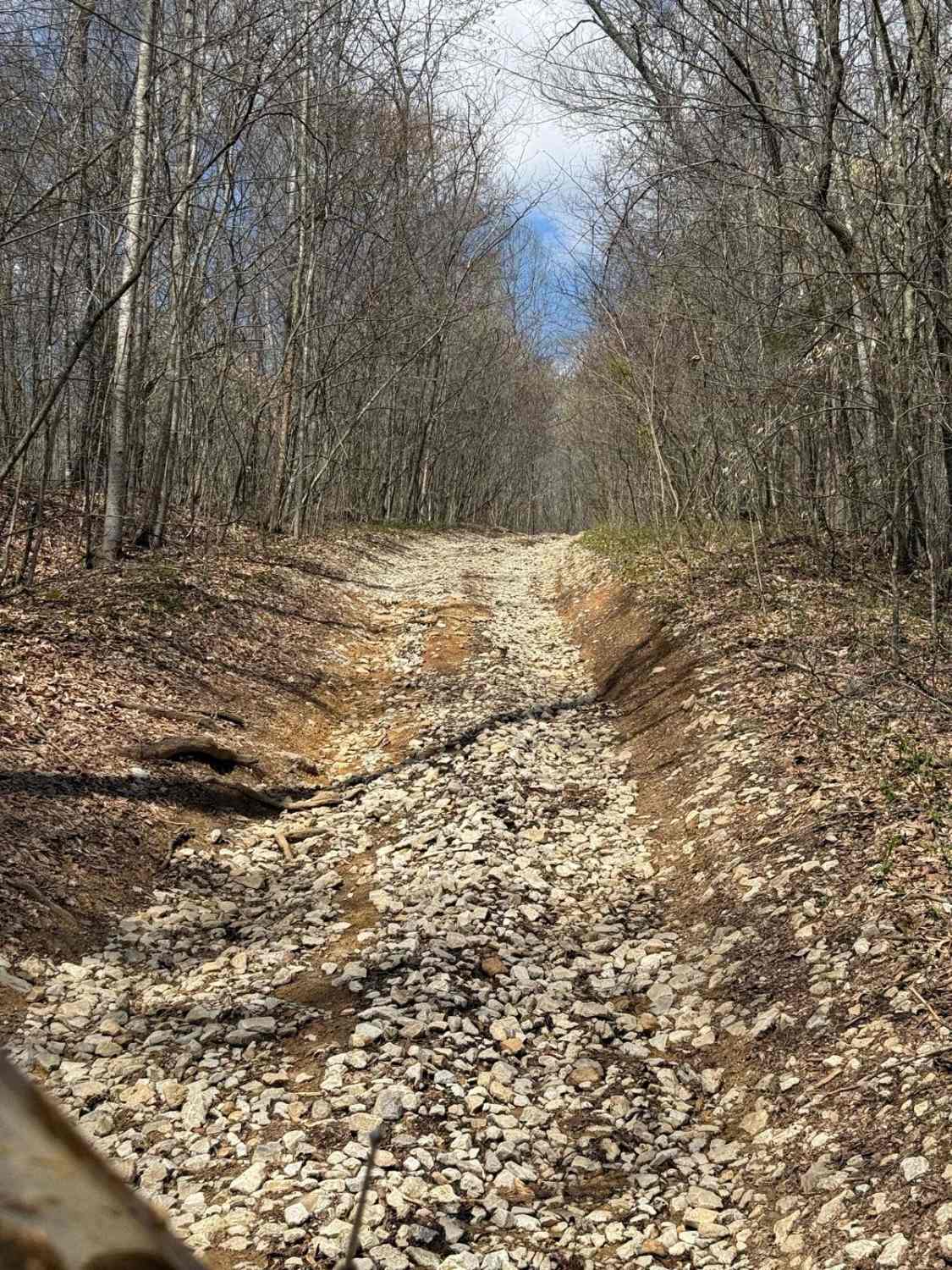
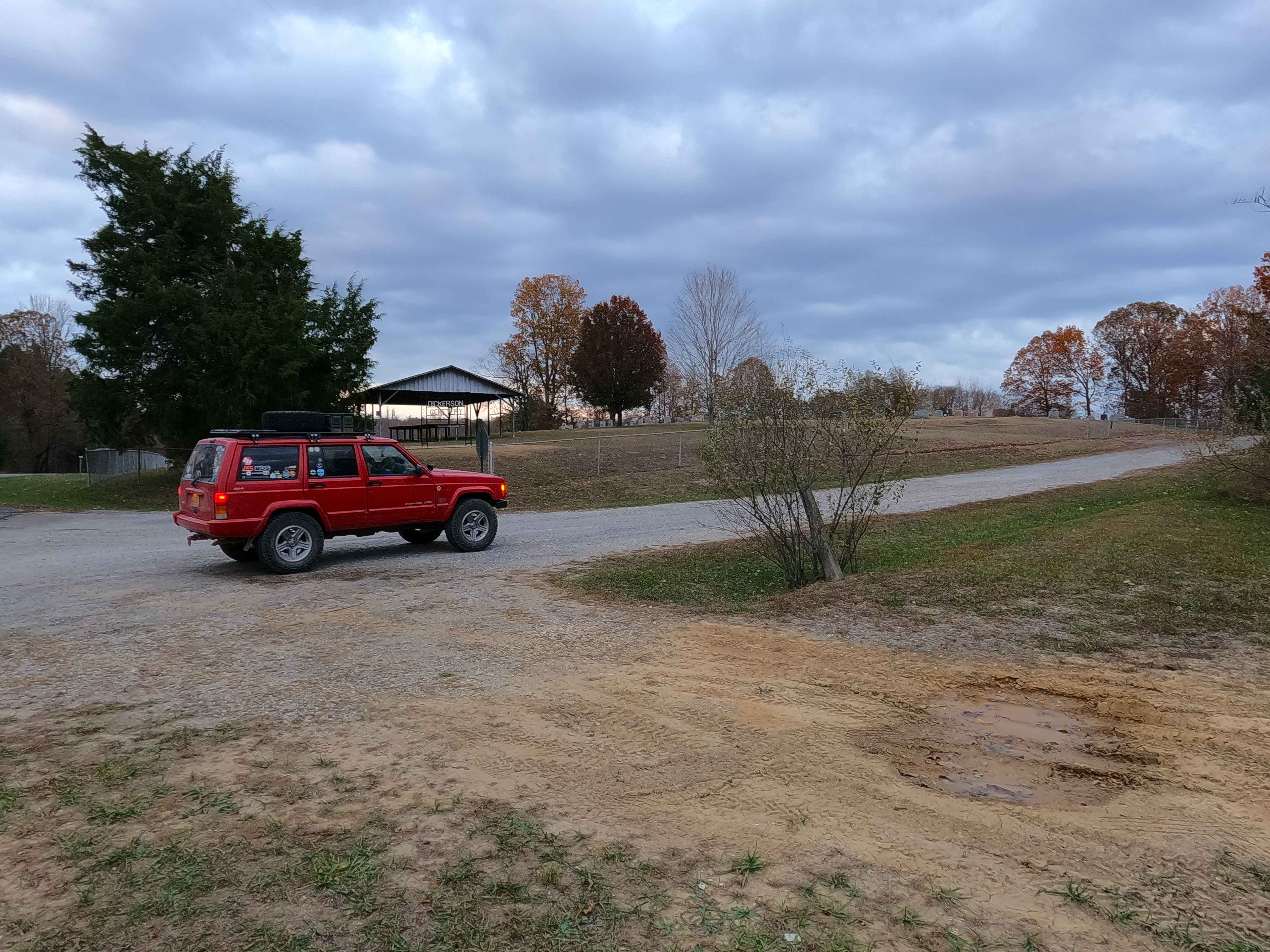
Trail Overview
This trail intersects with 16 Creeks trail and runs out a long stretch of high ridges with some excellent views of the surrounding area. The east side of the trail goes to several cell/radio towers that allow you to look over the town of Middlesboro and even see the tunnels at Cumberland Gap into Tennessee.
Photos of High Ridge Towers

Difficulty
These trails in the area are on old logging and mining areas where the roads have been left for forest service and are used for recreation by offroaders. The trails are somewhat maintained, but you will find small ledges less than 12", and mud and water holes that can be up to 12 inches deep as well.
History
The trails are currently used by the Forest Service and by workers going to the cell/radio towers. The trails here are left from previous mining and logging done in the area and are now used by offroaders.
Status Reports
High Ridge Towers can be accessed by the following ride types:
- High-Clearance 4x4
- SUV
- SxS (60")
- ATV (50")
- Dirt Bike
High Ridge Towers Map
Popular Trails

Turkey Bay OHV 7209

Piney Branch Rd - DBBB
Crossroad Church - FS 123
The onX Offroad Difference
onX Offroad combines trail photos, descriptions, difficulty ratings, width restrictions, seasonality, and more in a user-friendly interface. Available on all devices, with offline access and full compatibility with CarPlay and Android Auto. Discover what you’re missing today!