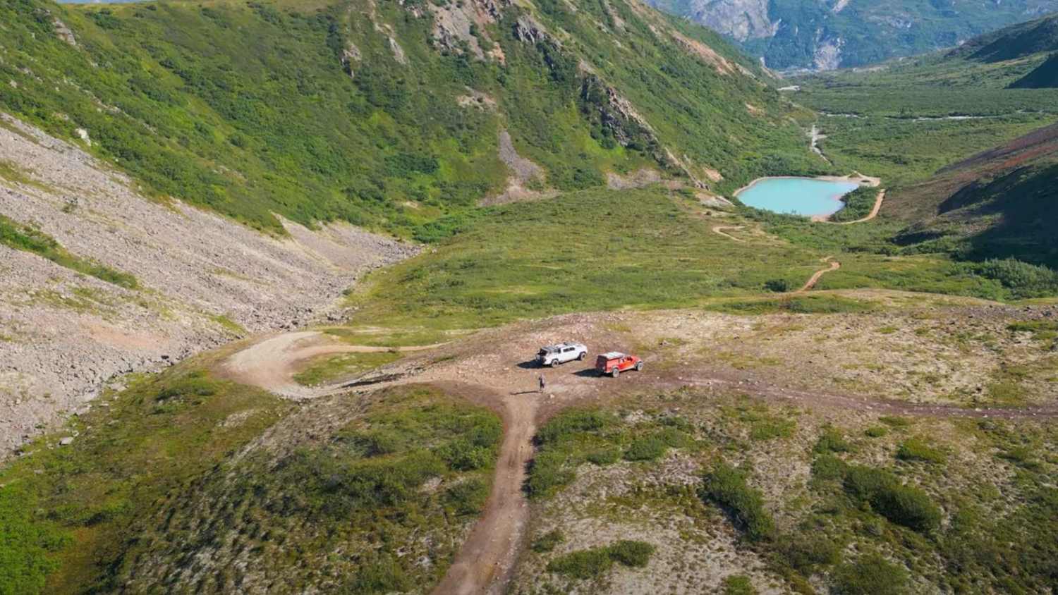
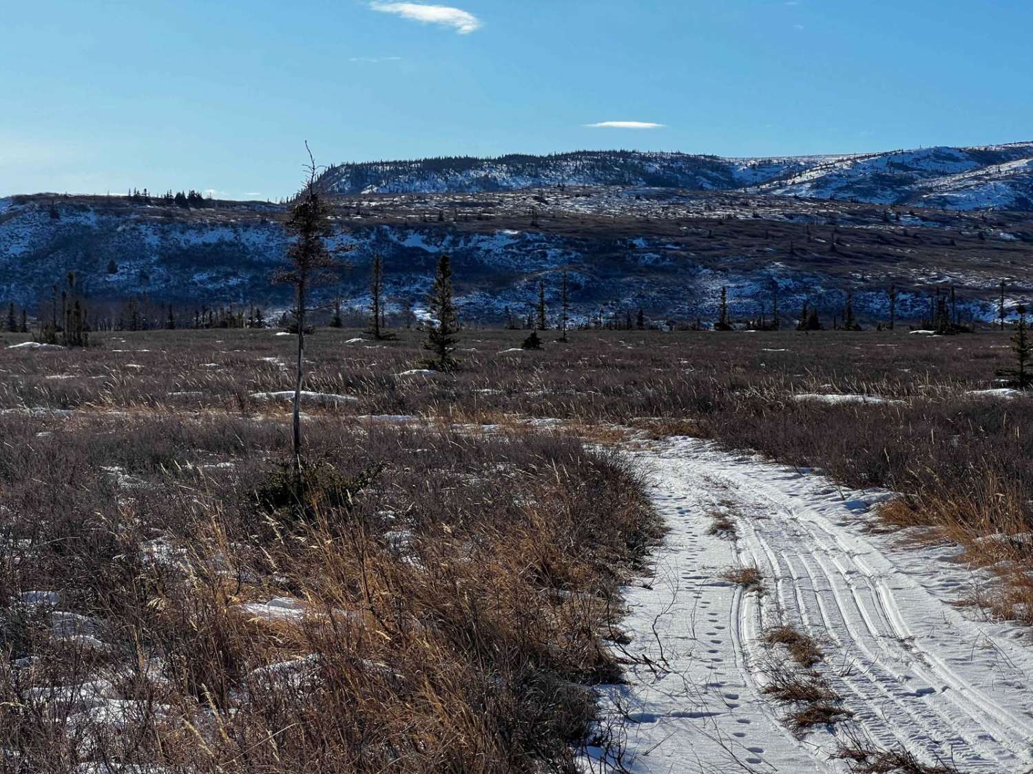
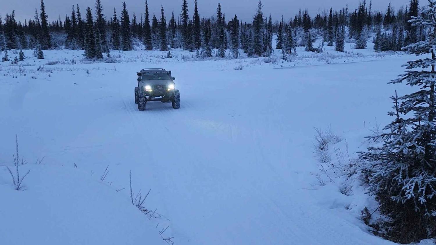
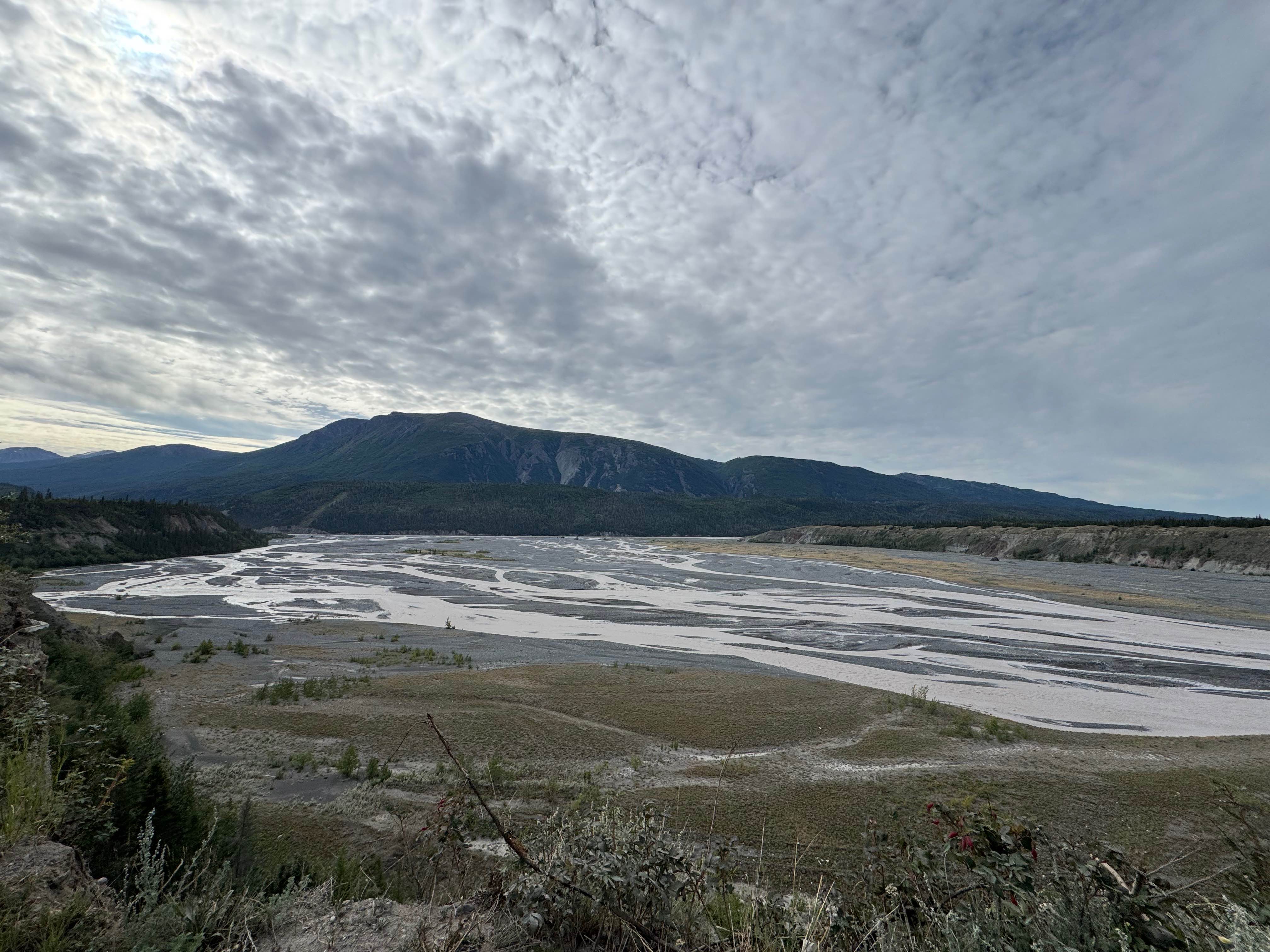
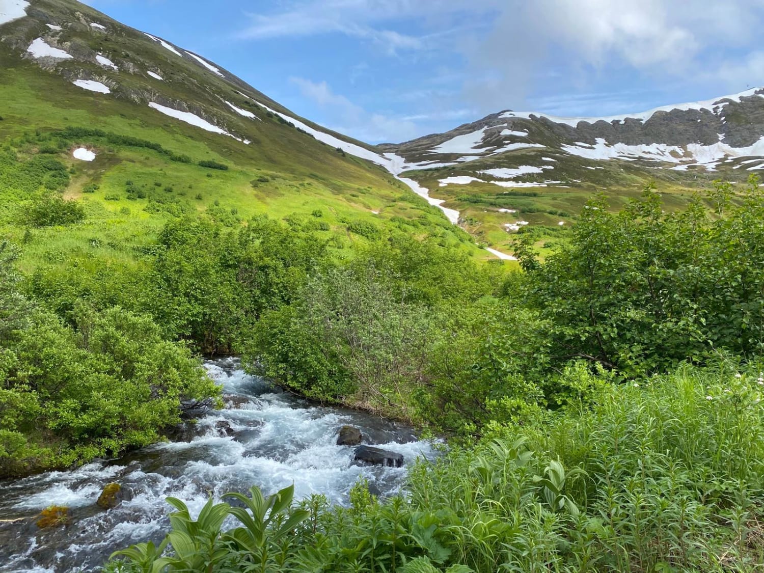
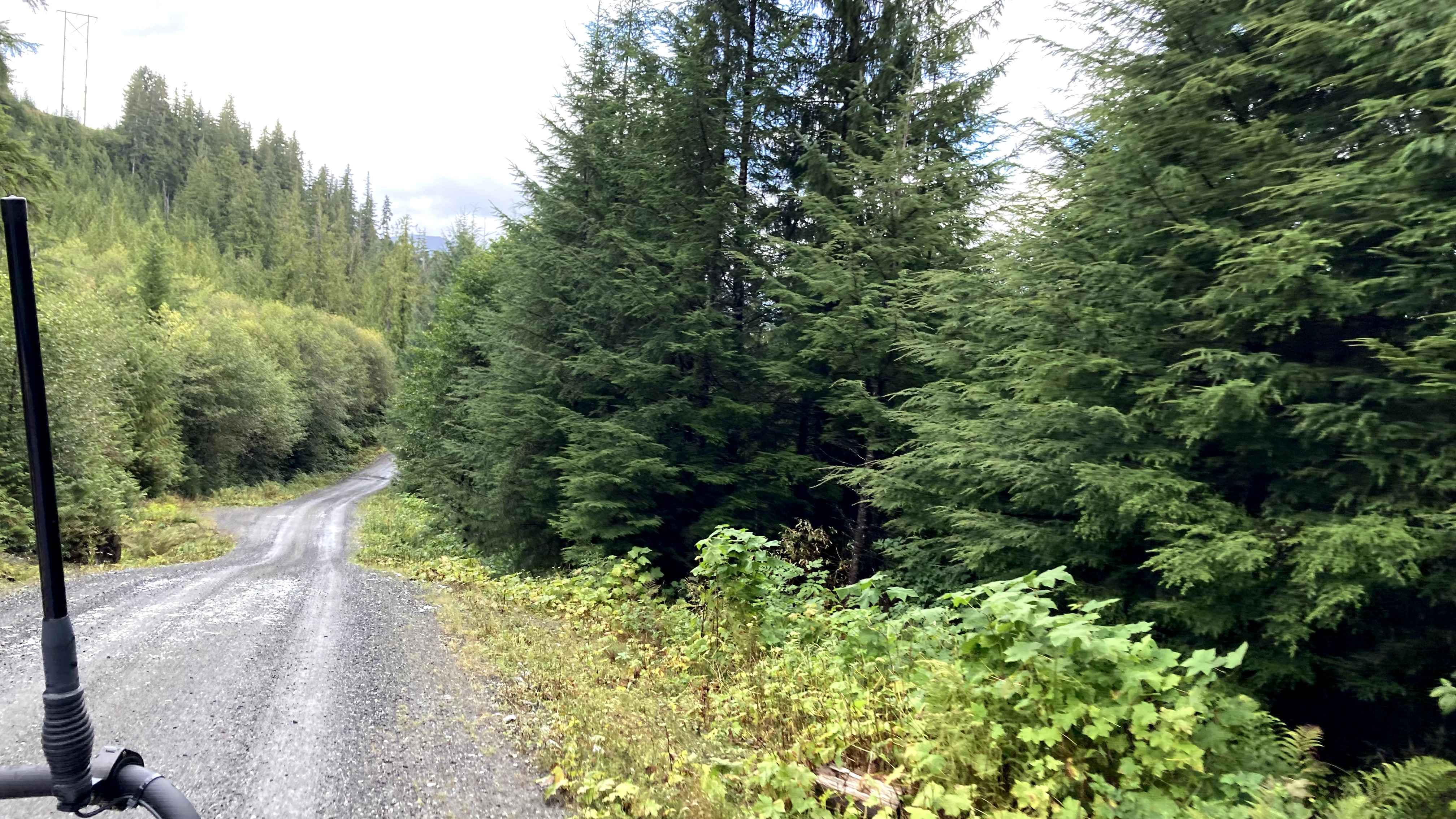
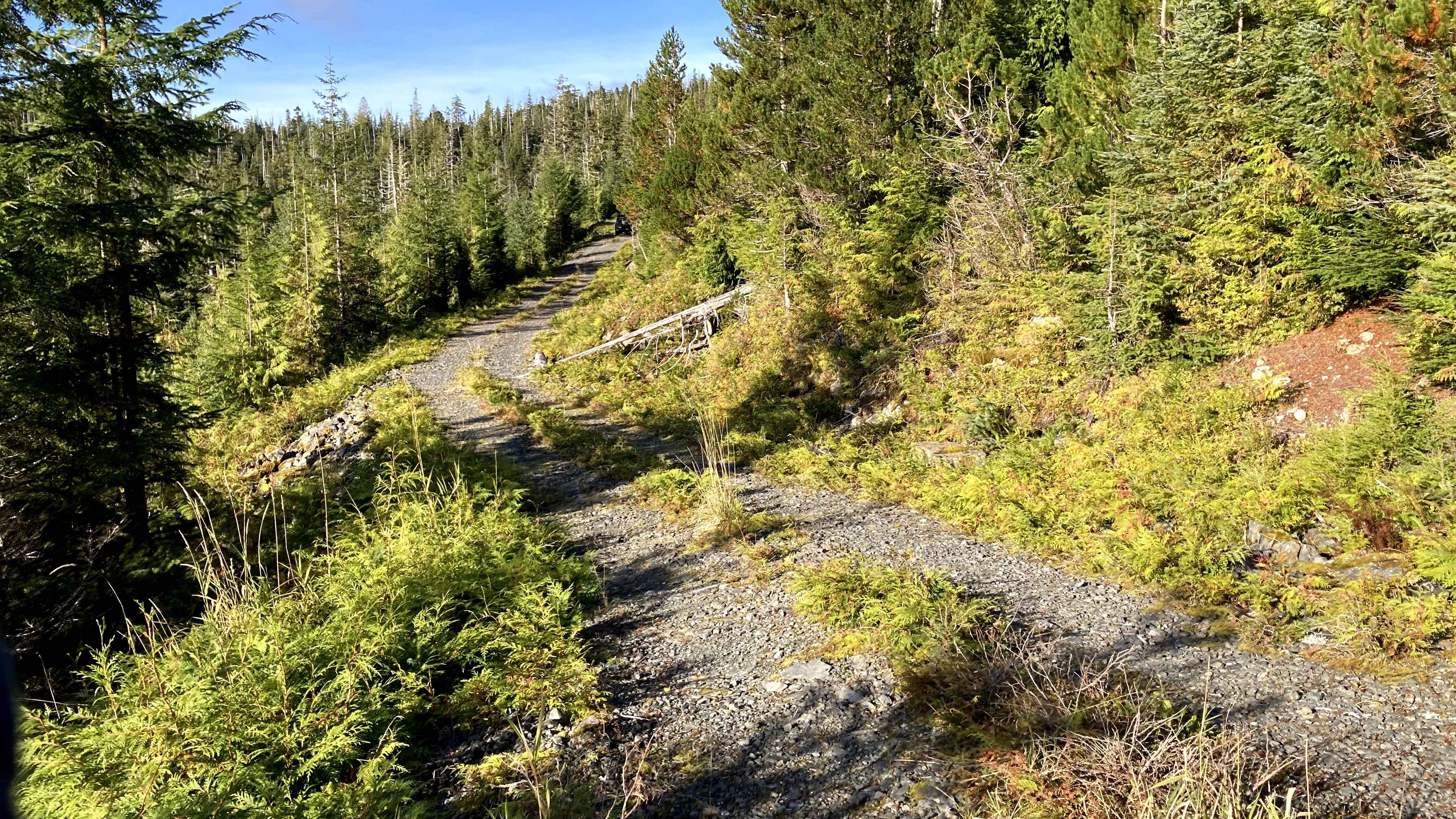
Off-Road Trails in Alaska
Discover off-road trails in Alaska
Learn more about French Twin 40008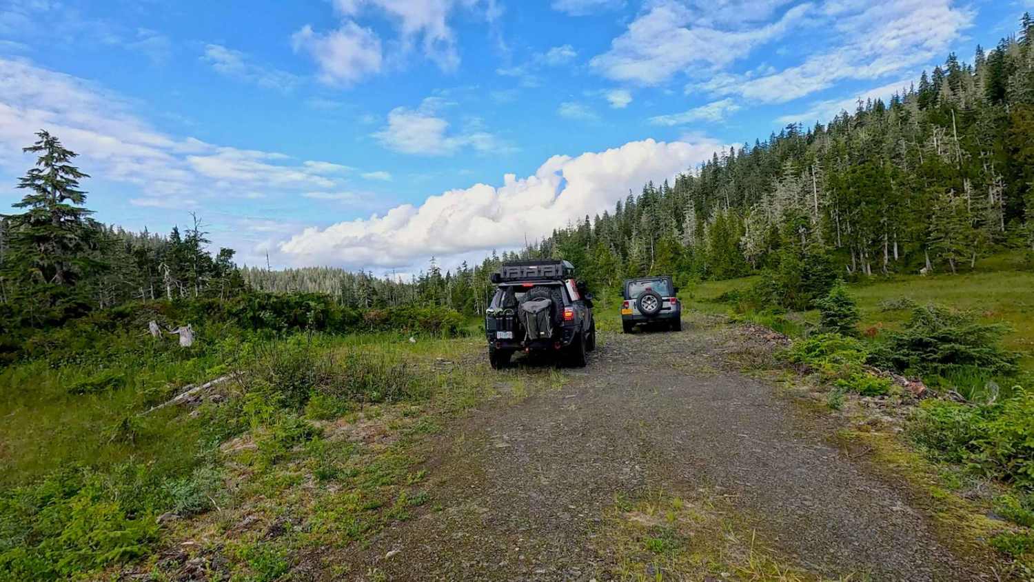
French Twin 40008
Total Miles
1.0
Tech Rating
Easy
Best Time
Summer, Fall

Learn more about Frenchy Spur Road
Frenchy Spur Road
Total Miles
1.1
Tech Rating
Moderate
Best Time
Summer, Fall
Learn more about Froot Loops 40000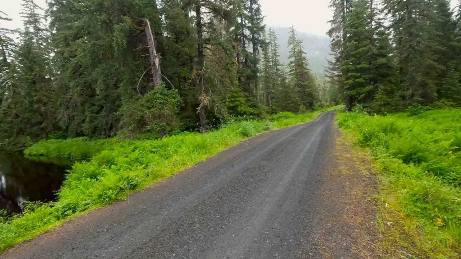
Froot Loops 40000
Total Miles
5.3
Tech Rating
Easy
Best Time
Spring, Summer, Fall
Learn more about Froot Loops Spur 1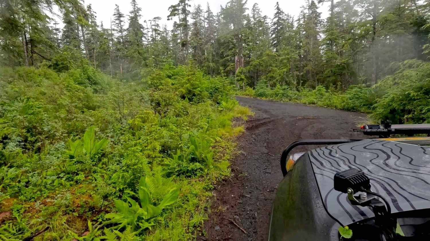
Froot Loops Spur 1
Total Miles
0.4
Tech Rating
Easy
Best Time
Summer, Fall
Learn more about Gunsight Mountain 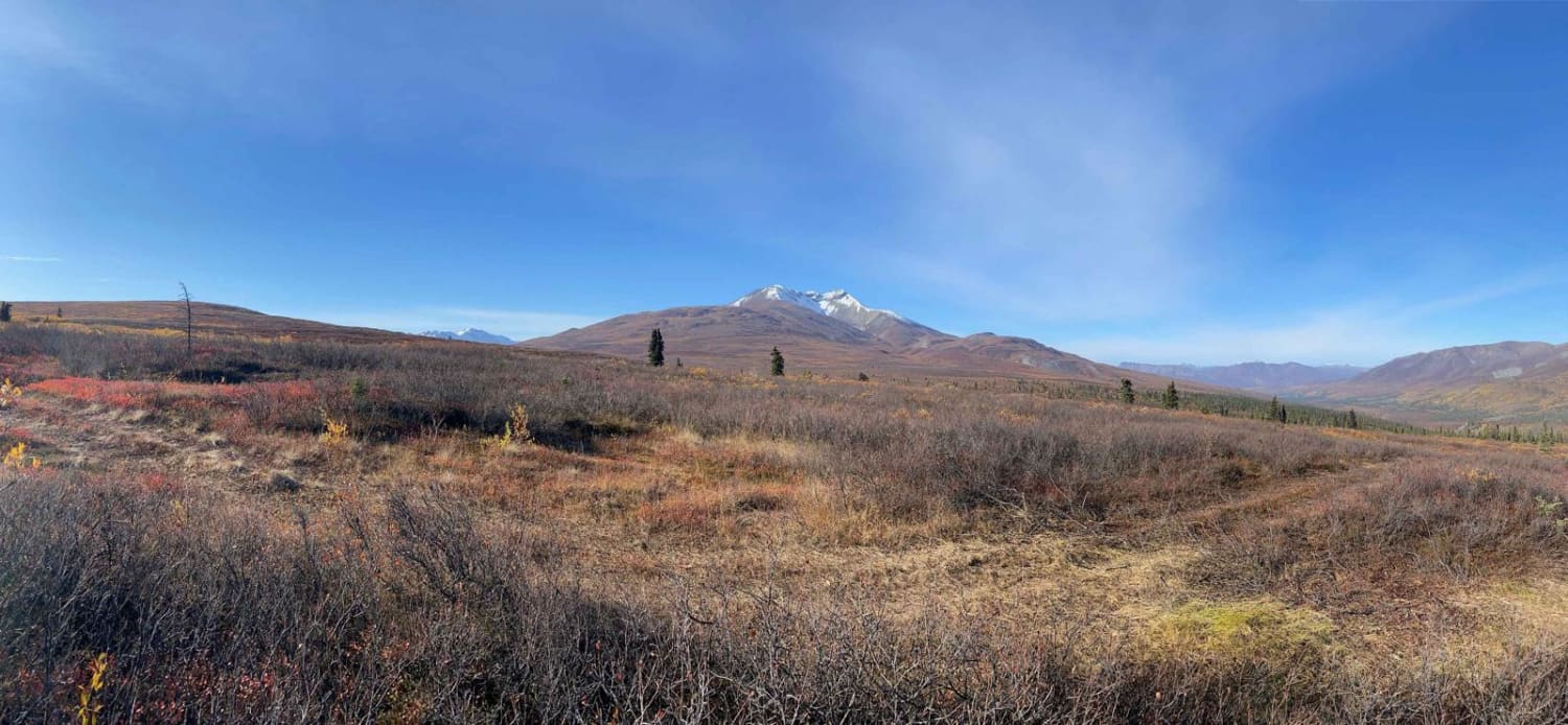
Gunsight Mountain
Total Miles
3.0
Tech Rating
Easy
Best Time
Fall, Summer, Spring
Learn more about Knik Glacier 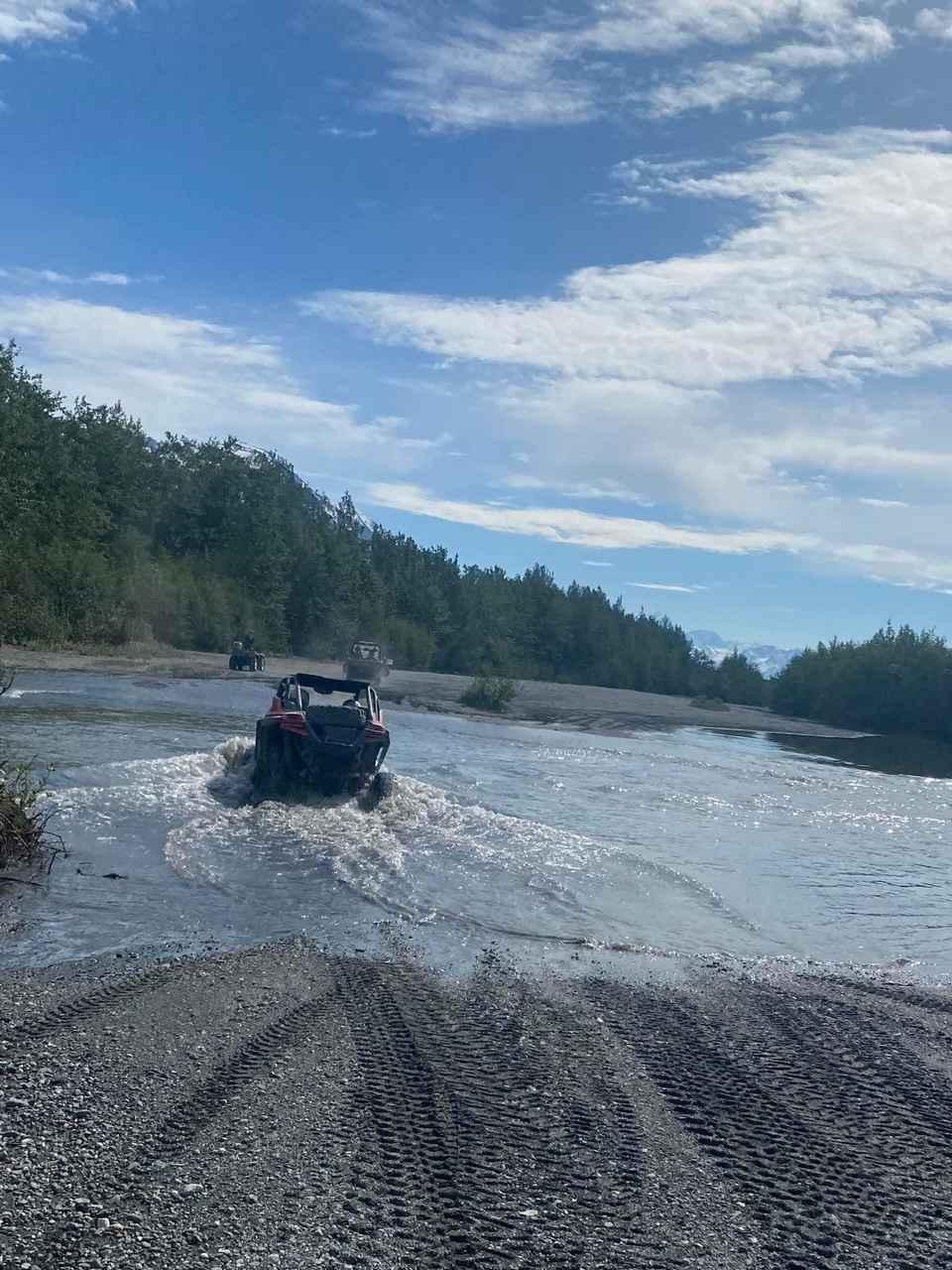
Knik Glacier
Total Miles
20.3
Tech Rating
Moderate
Best Time
Spring, Summer, Fall, Winter
Learn more about Maclaren River Trail
Maclaren River Trail
Total Miles
5.7
Tech Rating
Moderate
Best Time
Summer
Learn more about Monument Mountain
Monument Mountain
Total Miles
11.3
Tech Rating
Moderate
Best Time
Summer
Learn more about Nenana Ridge Road
Nenana Ridge Road
Total Miles
17.4
Tech Rating
Easy
Best Time
Spring, Summer, Fall
Learn more about North Prince of Wales - FS 2000000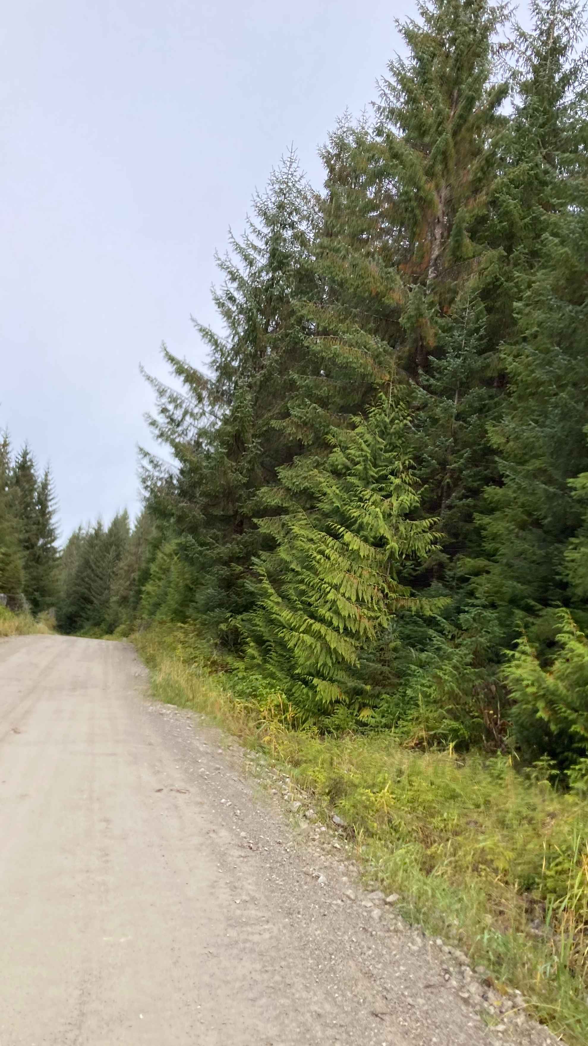
North Prince of Wales - FS 2000000
Total Miles
8.6
Tech Rating
Easy
Best Time
Summer, Fall

Learn more about Purchase Creek 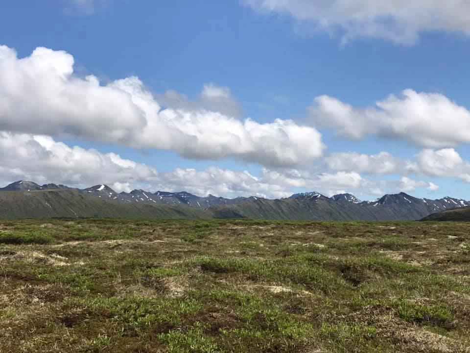
Purchase Creek
Total Miles
11.7
Tech Rating
Moderate
Best Time
Summer, Fall, Spring
Learn more about Purches Creek
Purches Creek
Total Miles
11.6
Tech Rating
Moderate
Best Time
Summer, Fall, Spring
ATV trails in Alaska
Learn more about Black Diamond Peak 1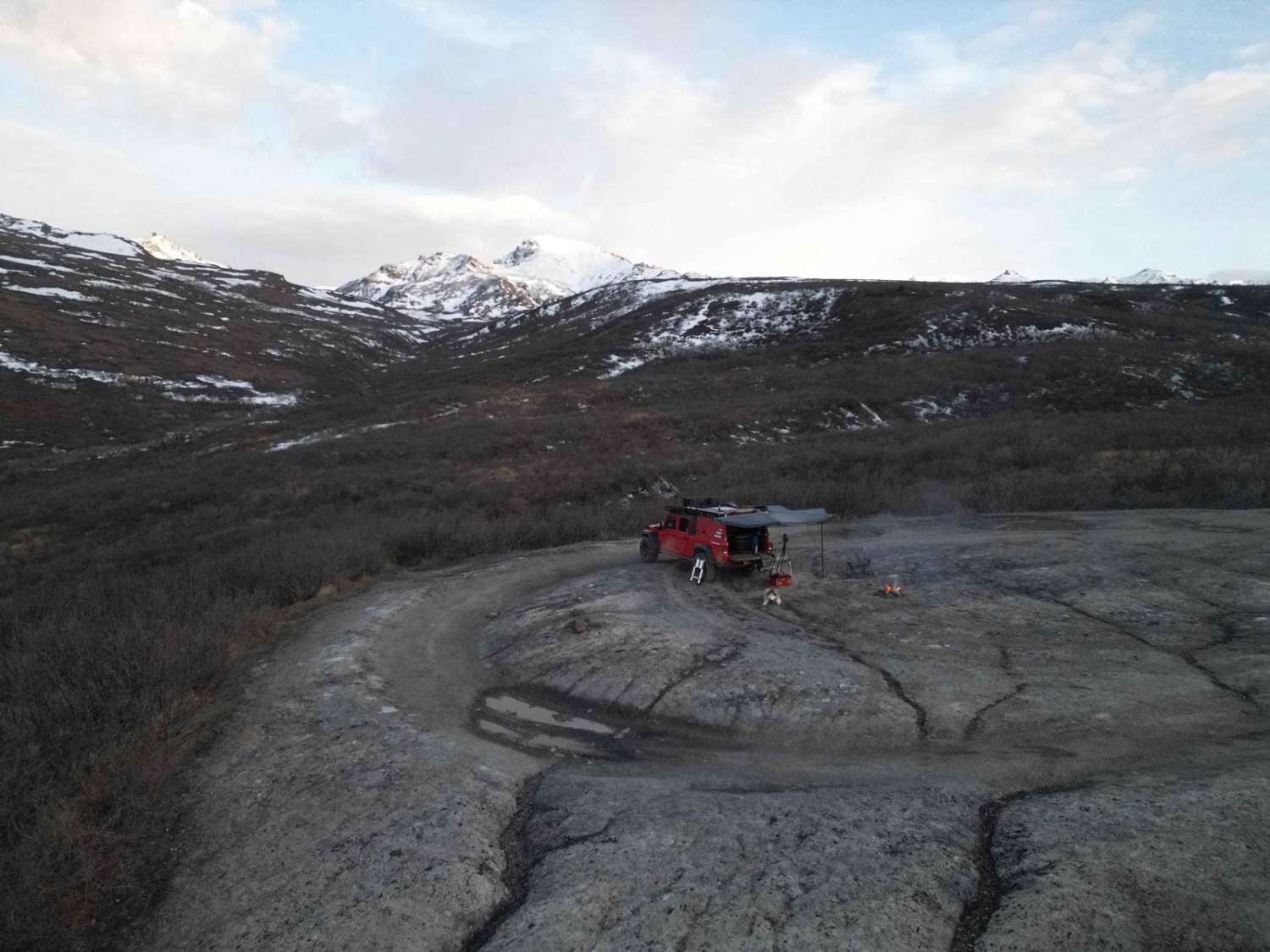
Black Diamond Peak 1
Total Miles
1.2
Tech Rating
Easy
Best Time
Summer
Learn more about Black Diamond Peak 1/2 Connector
Black Diamond Peak 1/2 Connector
Total Miles
0.1
Tech Rating
Easy
Best Time
Summer
UTV/side-by-side trails in Alaska
Learn more about Black Diamond Peak 1
Black Diamond Peak 1
Total Miles
1.2
Tech Rating
Easy
Best Time
Summer
Learn more about Black Diamond Peak 1/2 Connector
Black Diamond Peak 1/2 Connector
Total Miles
0.1
Tech Rating
Easy
Best Time
Summer
The onX Offroad Difference
onX Offroad combines trail photos, descriptions, difficulty ratings, width restrictions, seasonality, and more in a user-friendly interface. Available on all devices, with offline access and full compatibility with CarPlay and Android Auto. Discover what you’re missing today!