Maclaren River Trail
Total Miles
5.7
Technical Rating
Best Time
Summer
Trail Type
Full-Width Road
Accessible By
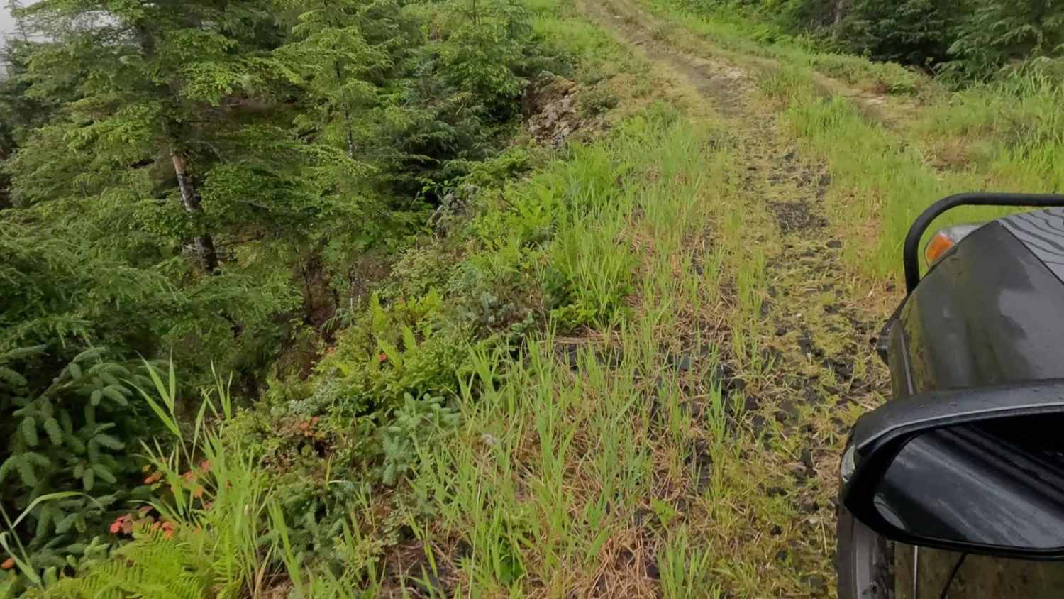
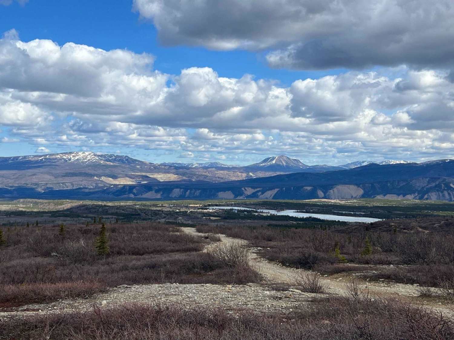
Trail Overview
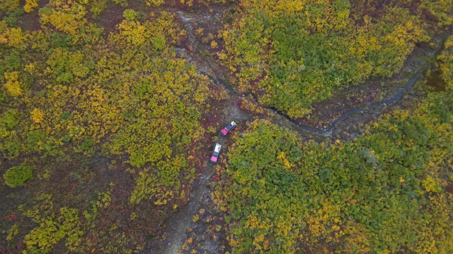
The Maclaren River trail is the jumping off point to a network of old mine roads leading back into the Alaska Range. This trail has two major water crossings with a Beaver Dam 0.5 miles into the trail and the West Fork Maclaren River 4.5 miles into the trail. Depending on rain, the beaver dam section is the harder crossing as the water can be as deep as three feet in some sections, as the river crossing is dangerous due to water flow, but at the proper crossing is under 18 inches in depth. The river crossing is best completed by hopping over to the center island and then heading north towards the crossing rather than trying to cut straight across. This will avoid the deeper crossing for vehicles that are not lifted/modified.
Photos of Maclaren River Trail

Difficulty
The Beaver dam and River crossing have the potential to be deeper than 3 feet, depending on rain and snow melt. On average, the Dam at 0.5 miles into the trail sits just under 36 inches of water and the West Fork Maclaren River crossing varies from 16 inches to 36 inches in depth depending on your initial crossing to the center island.
Status Reports
Maclaren River Trail can be accessed by the following ride types:
- High-Clearance 4x4
- SUV
- SxS (60")
- ATV (50")
- Dirt Bike
Maclaren River Trail Map
Popular Trails


West Fork Ohmer Creek 6246
Black Diamond Peak 2
The onX Offroad Difference
onX Offroad combines trail photos, descriptions, difficulty ratings, width restrictions, seasonality, and more in a user-friendly interface. Available on all devices, with offline access and full compatibility with CarPlay and Android Auto. Discover what you’re missing today!