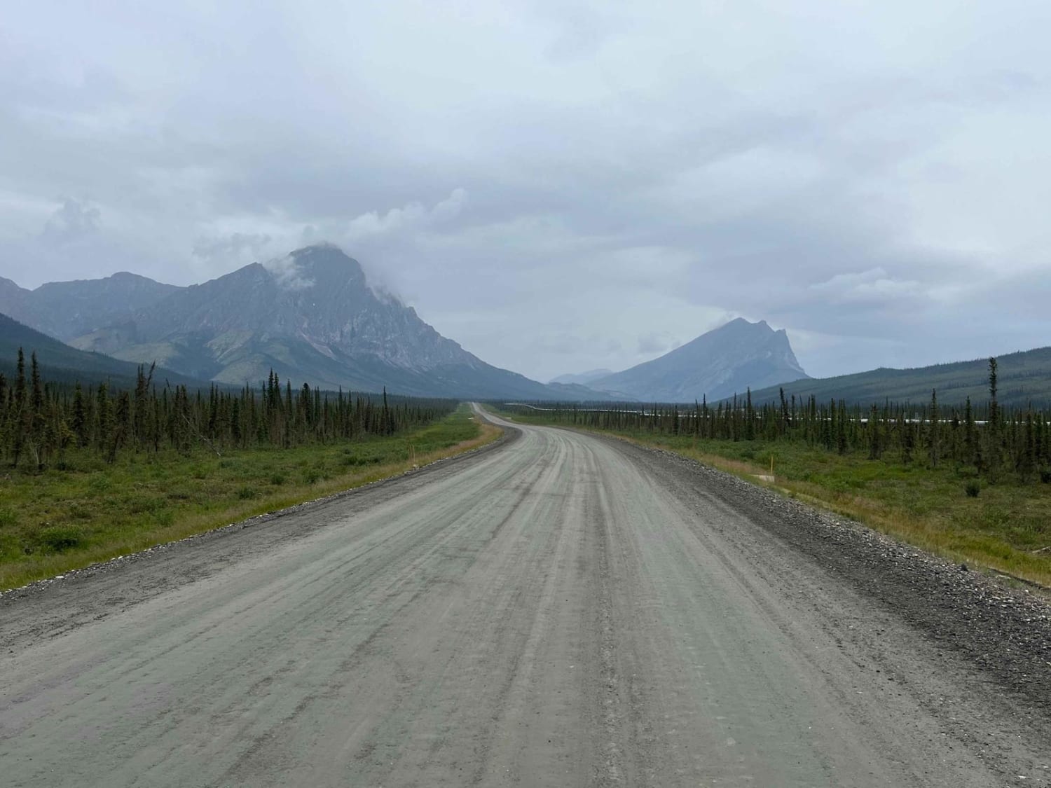
McCarthy Road
Total Miles
58.8
Technical Rating
Best Time
Summer
Trail Type
Full-Width Road
Accessible By
Trail Overview
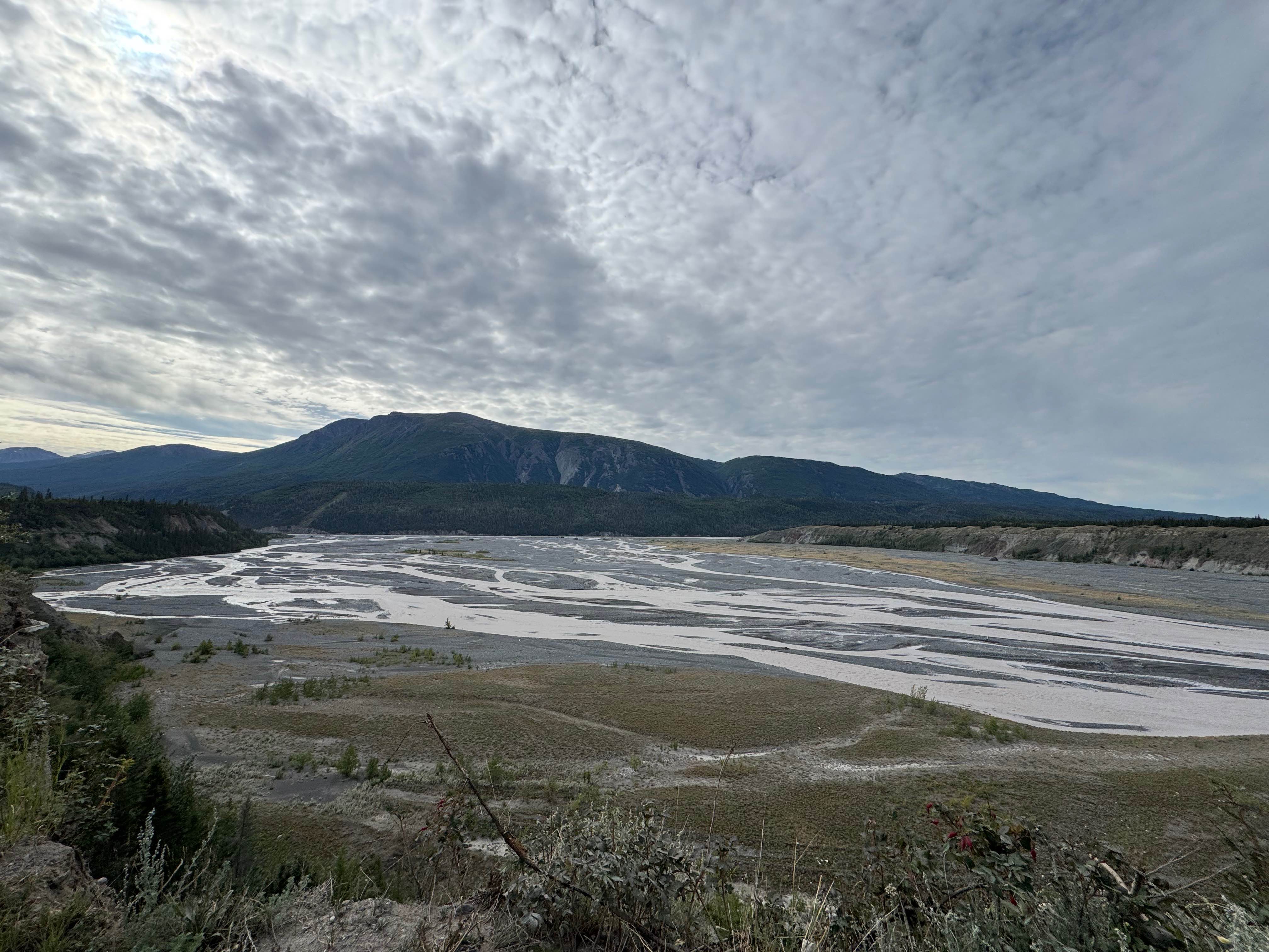
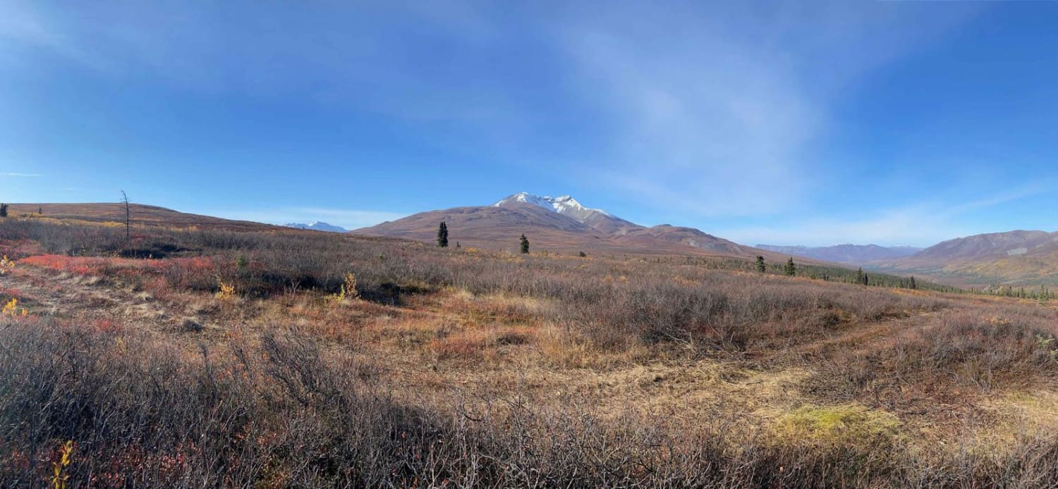
Driving south on Edgerton Highway, also known as Highway 10, to begin the McCarthy Road from Chitina, Alaska. McCarthy Road will end in the town of McCarthy and Kennecott. This is the only road into Wrangle St. Elias National Park and McCarthy Airport. The road is closed during the winter.
Photos of McCarthy Road
Difficulty
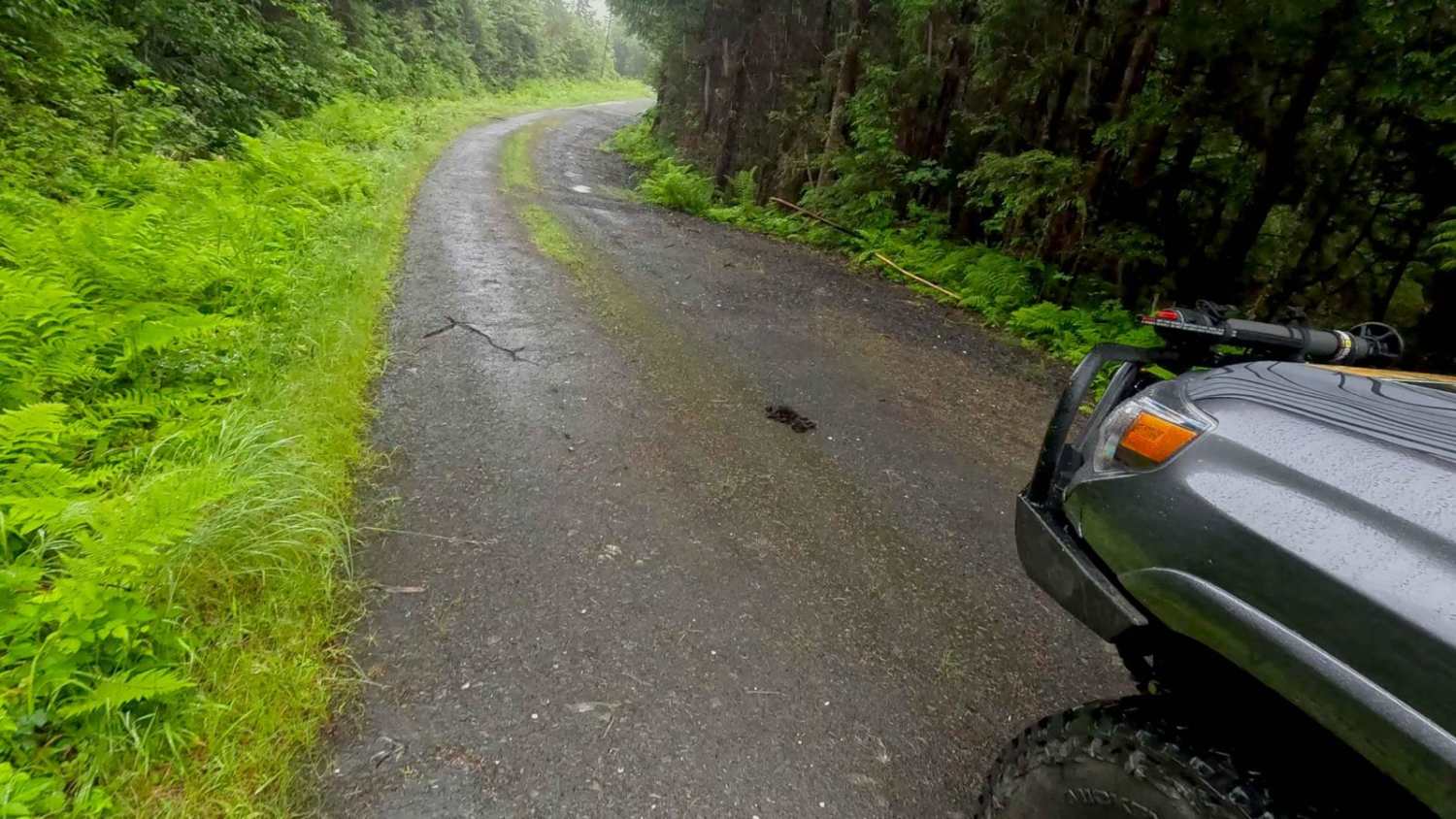
The road is mostly gravel with a few miles of chip seal. While an all-wheel drive, even a 2-wheel drive vehicle, on a dry just-graded day, can complete the road, it will be slow going due to pot holes on all surfaces. Some can be unforgiving if hit at high speeds. There are no services for repairs along the road. The shoulders are soft and can easily become hazards. The road feels like a one-lane, but careful passing is possible. Wildlife can dart out into the road quickly. The length of the road and time to drive at an average of 20-25 mph can make a driver tired. Fuel management is important, and planning for the return is recommended when in Glennallen, Copper Center, or Kenny Lake. There is reliable fuel in Chitina or McCarthy.
History
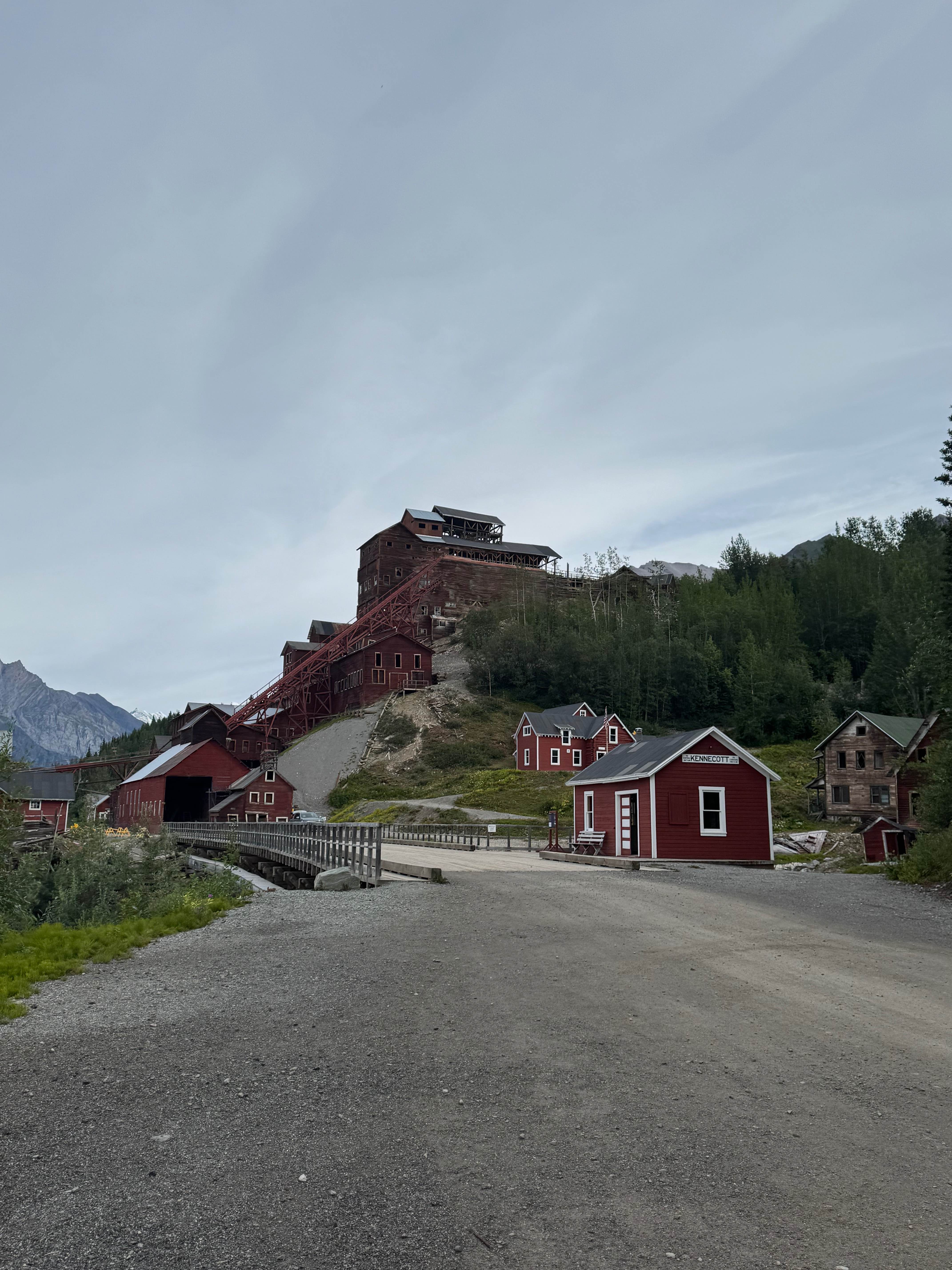
The McCarthy road is the converted railway from the mining operations of the past at the Kennecott mine. At times ,wood ties can be seen in the road, rails on the shoulder and an old trestle still remains.
Status Reports
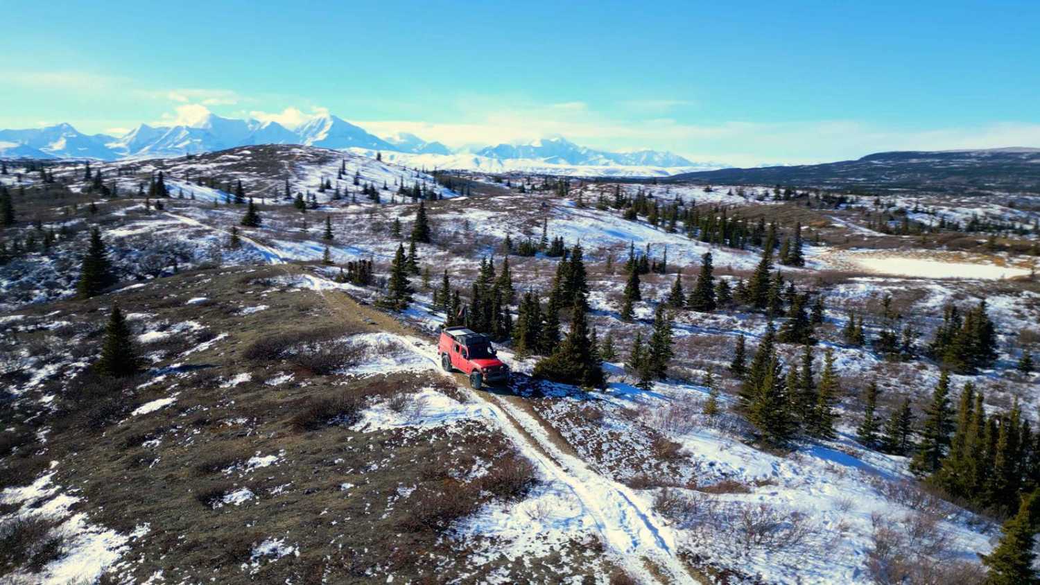
McCarthy Road can be accessed by the following ride types:
- High-Clearance 4x4
- SUV
McCarthy Road Map
Popular Trails
East Sumner Mountain 6281
Gunsight Mountain
The Dalton Highway
The onX Offroad Difference
onX Offroad combines trail photos, descriptions, difficulty ratings, width restrictions, seasonality, and more in a user-friendly interface. Available on all devices, with offline access and full compatibility with CarPlay and Android Auto. Discover what you’re missing today!