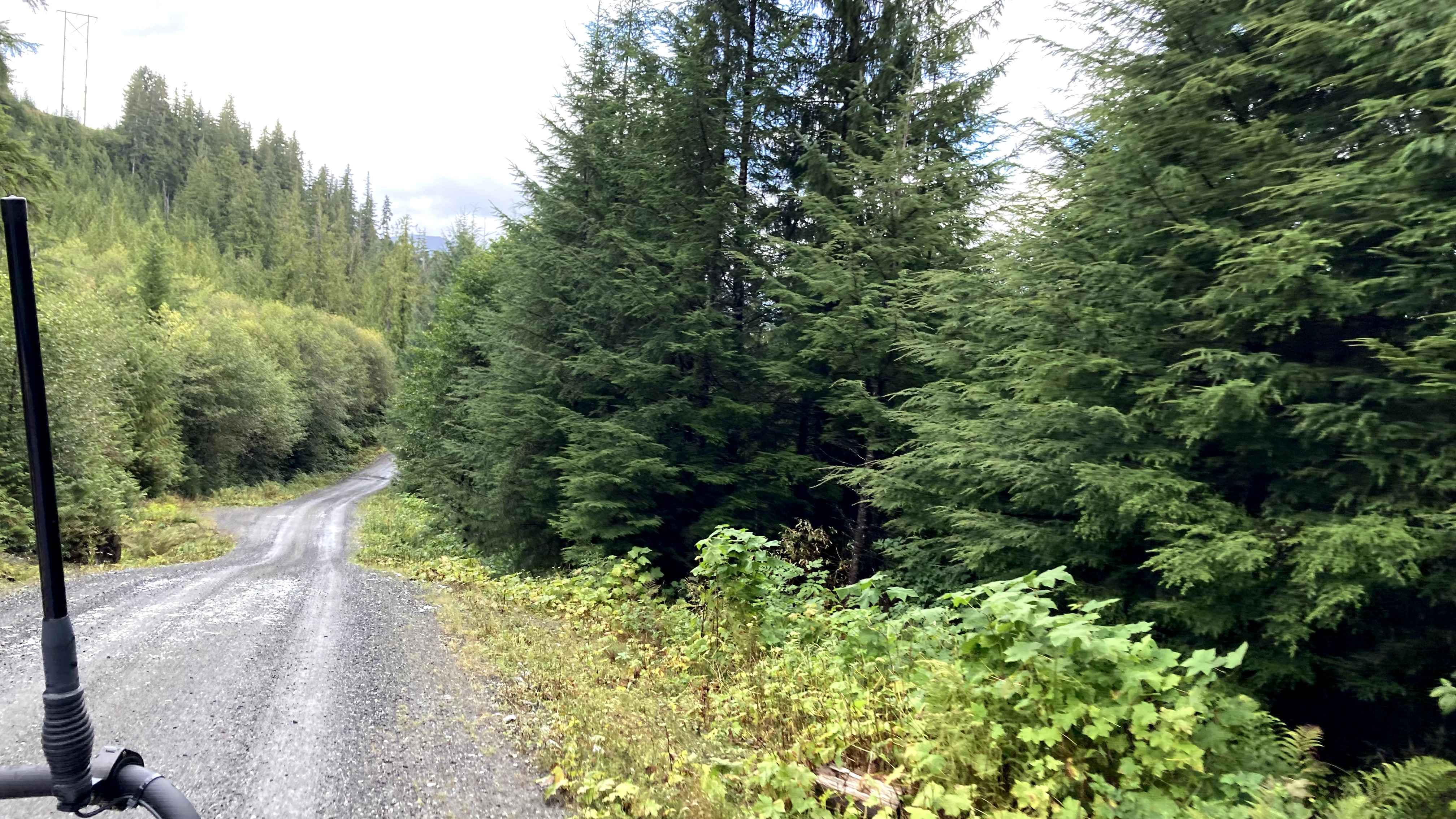
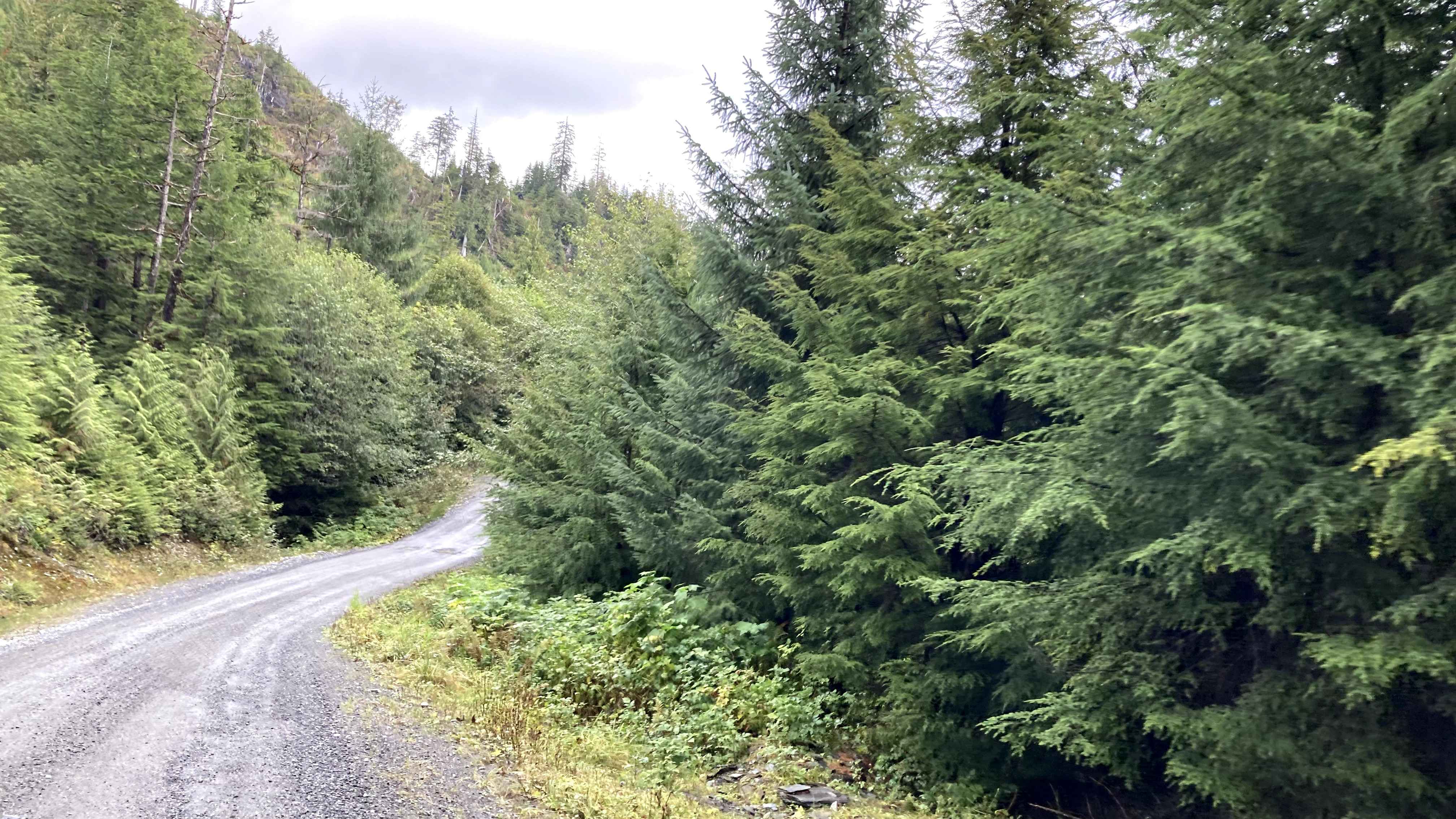
Revilla Road
Total Miles
4.2
Technical Rating
Best Time
Summer, Fall, Spring
Trail Type
Full-Width Road
Accessible By
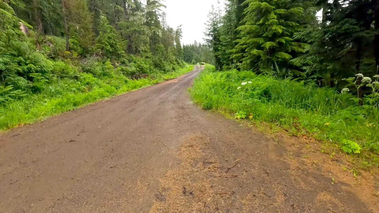
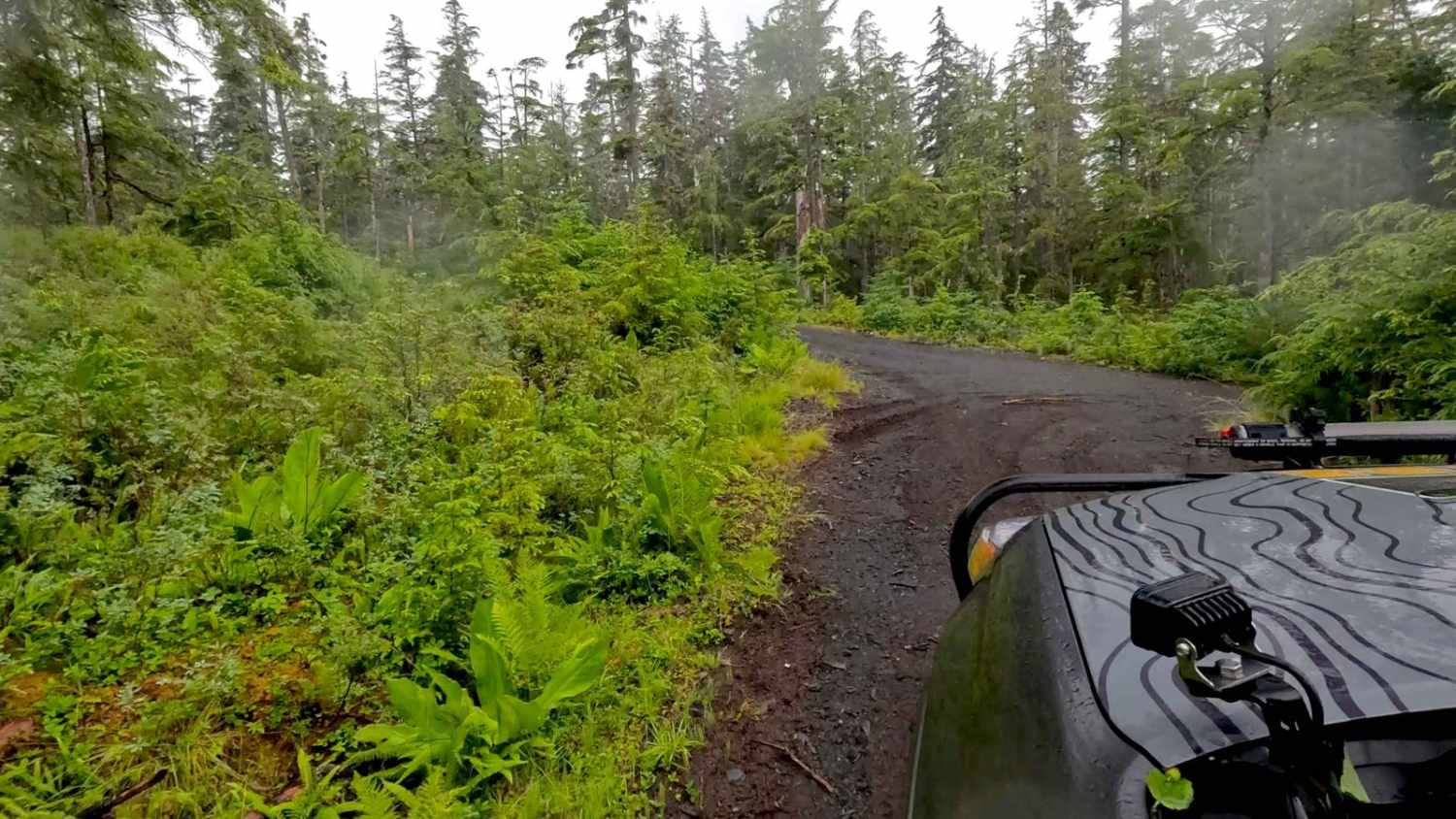
Trail Overview
Revilla Road Starts at the end of Paved Revilla Road right after Connell Lake Picnic Road and ends at the Harriet Hunt Road turn and Revilla Road becomes where the road turns into Shelter Cove Road. This road is mostly Gravel with very large Potholes. Airing down for comfort is suggested. This road has many pull-out spots available and connects to multiple private roads on Alaska Native Land. Before crossing back into Tongass National Forest, where it turns into Shelter Cove Road to reach the other side of the Island. Trails on this stretch are considered private Native land, and permission is advised before going on Private trails. Check weather conditions and be prepared for rain, fog with low visibility, and lower temperatures. It is a rainforest. This road is lined with trees and passes through areas of Muskeg. This Island has black bears, so be safety-minded when outside your vehicle.
Photos of Revilla Road
Difficulty
This is a fairly easy road, with a lot of large and some deep potholes. It is a very large one-lane road with multiple pull-offs.
Status Reports
Revilla Road can be accessed by the following ride types:
- High-Clearance 4x4
- SUV
- SxS (60")
- ATV (50")
- Dirt Bike
Revilla Road Map
Popular Trails
Black Diamond Peak 1
Purchase Creek
Froot Loops Spur 1
The onX Offroad Difference
onX Offroad combines trail photos, descriptions, difficulty ratings, width restrictions, seasonality, and more in a user-friendly interface. Available on all devices, with offline access and full compatibility with CarPlay and Android Auto. Discover what you’re missing today!