Palmer Creek Road
Total Miles
11.3
Technical Rating
Best Time
Summer
Trail Type
Full-Width Road
Accessible By
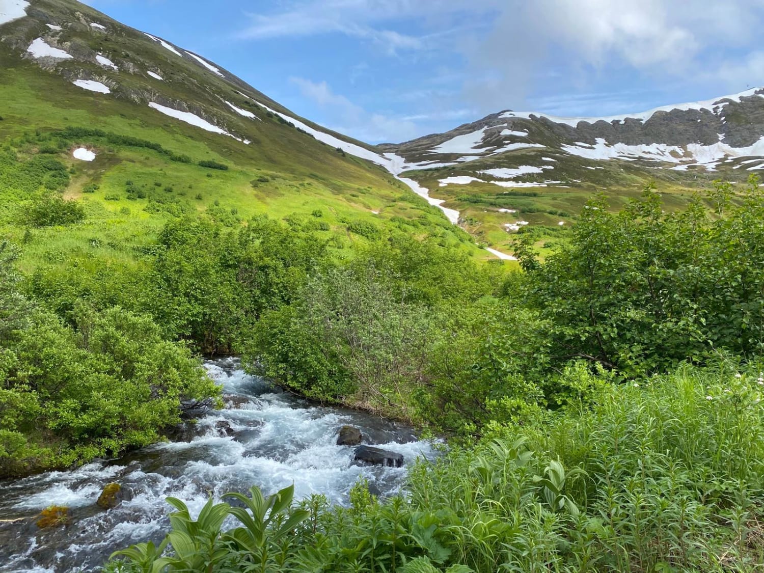
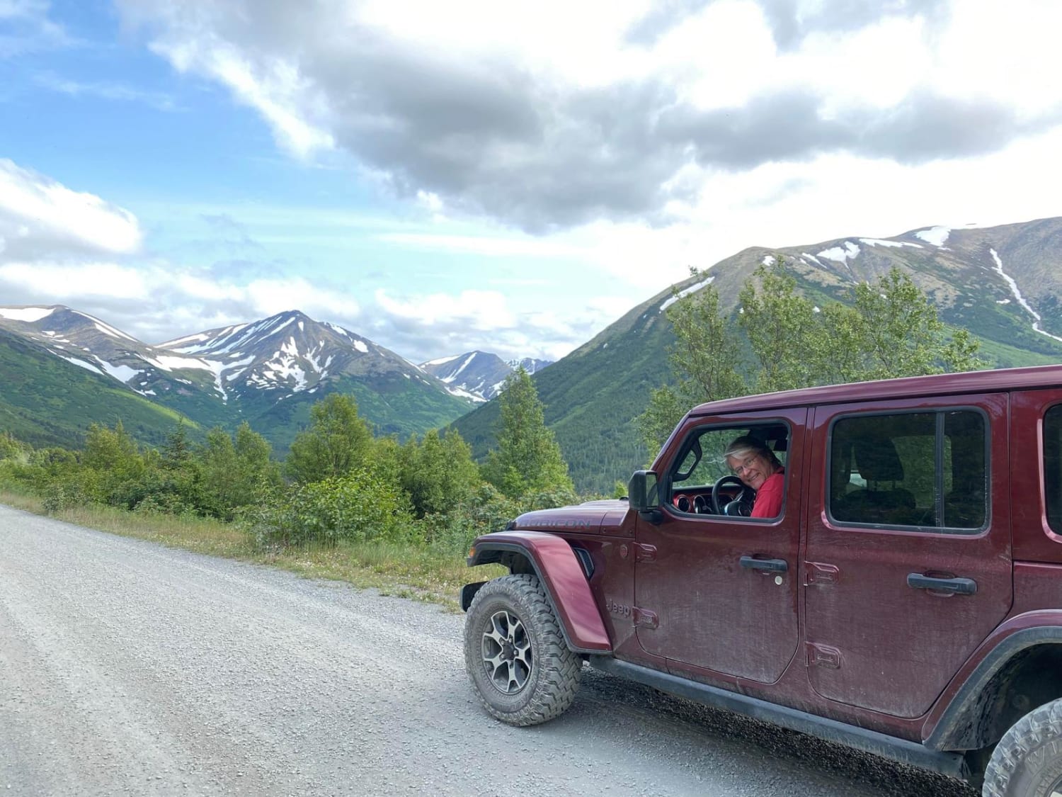
Trail Overview
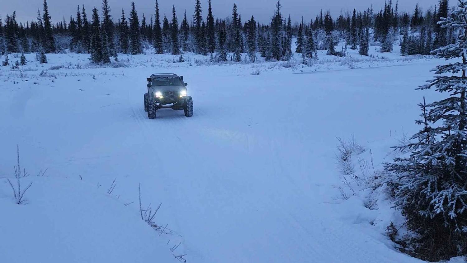
This trail starts on the south side of Hope, Alaska, and heads up to eventually follow Palmer Creek. It's an easy route in summer--much more difficult with snow. There are beautiful views all along the trail, especially once you reach the switchback section. Many maps show the route continuing past the final waypoint but it has been blocked off to vehicle traffic at this point. There are many places to camp along the road, especially above the switchbacks.
Photos of Palmer Creek Road
Difficulty
Several older sedans have been seen on the trail, even on the narrower and rougher section above the Coeur D'Alene Campground. Although technically possible, it is recommended to have at least 8 inches of clearance and good tires for the upper areas due to possible mud, water, and/or loose rocks.
History
There were several mines developed in this valley but they are no longer active. About a half mile beyond the end of the drivable trail is the Swetman Mill. A bit more than a mile beyond that is the Swetman/Lucky Strike Mine.
Status Reports
Palmer Creek Road can be accessed by the following ride types:
- High-Clearance 4x4
- SUV
- Dirt Bike
Palmer Creek Road Map
Popular Trails

Snake Ridge 40006
The onX Offroad Difference
onX Offroad combines trail photos, descriptions, difficulty ratings, width restrictions, seasonality, and more in a user-friendly interface. Available on all devices, with offline access and full compatibility with CarPlay and Android Auto. Discover what you’re missing today!