Off-Road Trails in Arizona
Discover off-road trails in Arizona
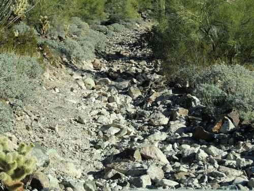
Learn more about Painted Mountains 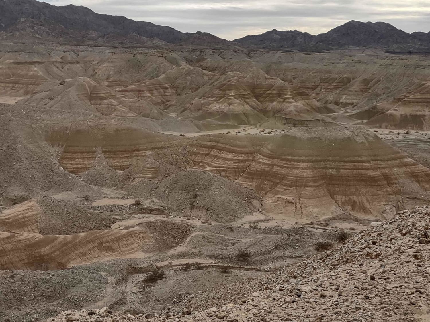
Painted Mountains
Total Miles
48.0
Tech Rating
Easy
Best Time
Spring, Fall, Winter
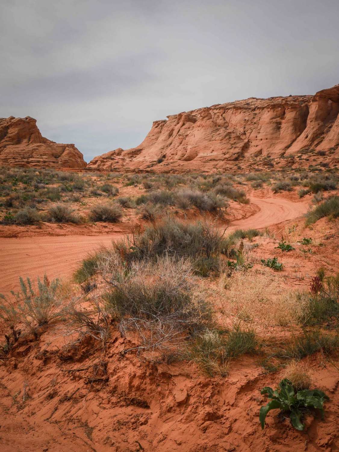
Learn more about Painted Rock Road
Painted Rock Road
Total Miles
10.9
Tech Rating
Easy
Best Time
Winter, Spring
Learn more about Paisano's Pathway
Paisano's Pathway
Total Miles
3.4
Tech Rating
Easy
Best Time
Spring, Summer, Fall, Winter
Learn more about Pakoon Basin - BLM 1007
Pakoon Basin - BLM 1007
Total Miles
16.2
Tech Rating
Easy
Best Time
Spring, Fall, Winter
Learn more about Pakoon Basin BLM Airstrip
Pakoon Basin BLM Airstrip
Total Miles
24.9
Tech Rating
Easy
Best Time
Spring, Fall, Winter
Learn more about Pakoon Spring - CR 111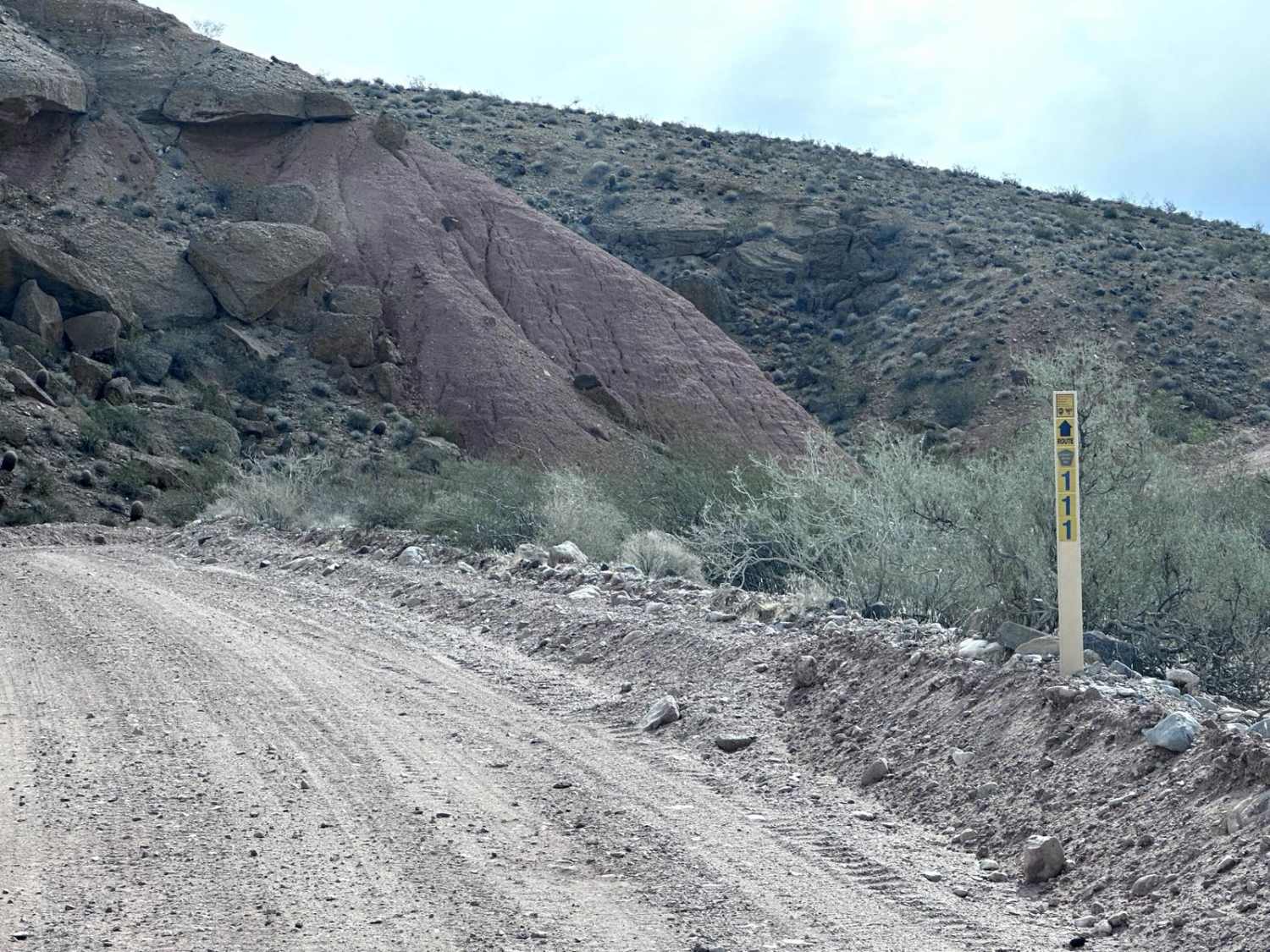
Pakoon Spring - CR 111
Total Miles
4.6
Tech Rating
Easy
Best Time
Spring, Fall, Winter, Summer
Learn more about Palm Canyon Road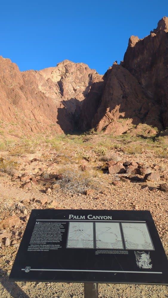
Palm Canyon Road
Total Miles
7.1
Tech Rating
Easy
Best Time
Spring, Fall, Winter
Learn more about Palmerita Ranch House Spur for AZPT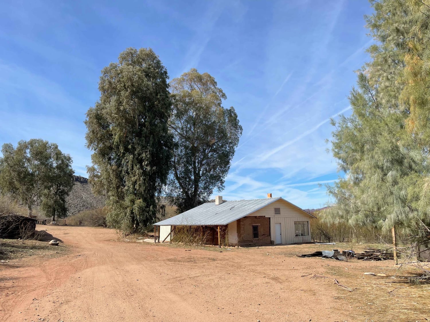
Palmerita Ranch House Spur for AZPT
Total Miles
1.6
Tech Rating
Moderate
Best Time
Spring, Fall, Winter
Learn more about Palomas Flats 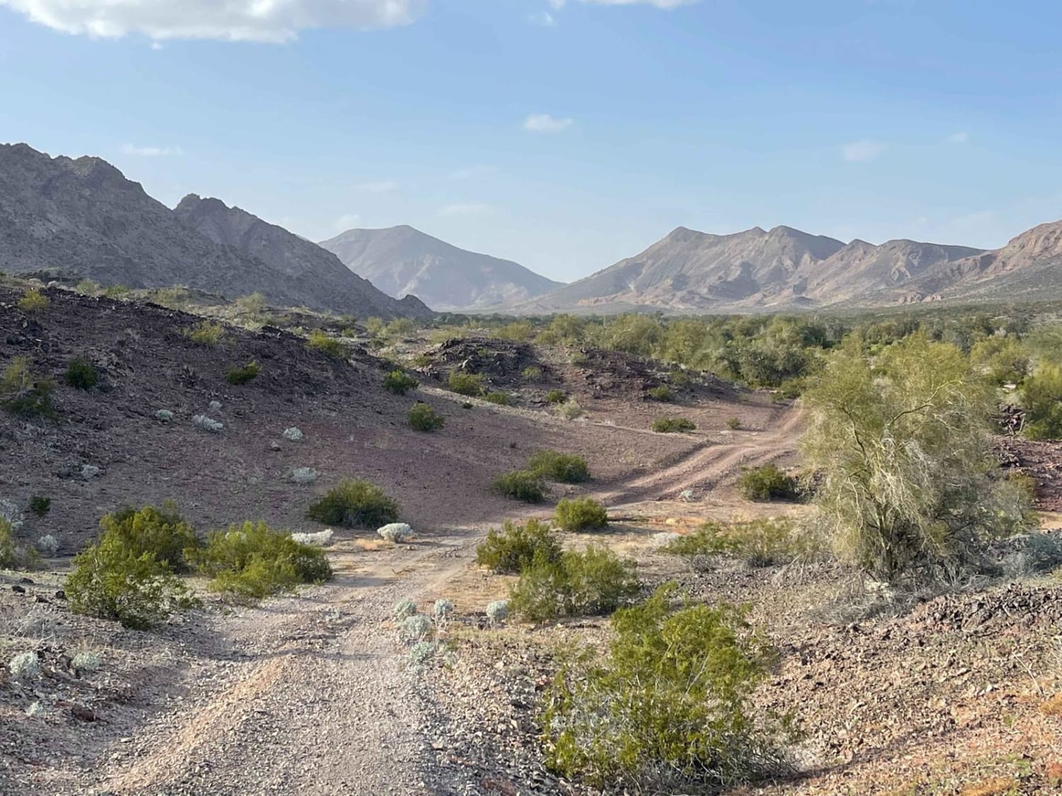
Palomas Flats
Total Miles
6.2
Tech Rating
Moderate
Best Time
Spring, Winter
Learn more about Palomas Harquahala
Palomas Harquahala
Total Miles
15.1
Tech Rating
Easy
Best Time
Spring, Fall, Winter
Learn more about Palomas Trail - 083
Palomas Trail - 083
Total Miles
7.9
Tech Rating
Easy
Best Time
Spring, Fall, Winter
Learn more about Park Tank Road #4424
Park Tank Road #4424
Total Miles
1.0
Tech Rating
Easy
Best Time
Spring
Learn more about Parker Canyon
Parker Canyon
Total Miles
6.5
Tech Rating
Easy
Best Time
Winter, Fall, Spring
Learn more about Parker Canyon East
Parker Canyon East
Total Miles
0.7
Tech Rating
Easy
Best Time
Summer, Fall
Learn more about Parker Montezuma
Parker Montezuma
Total Miles
2.9
Tech Rating
Easy
Best Time
Winter, Fall, Spring
Learn more about Parker Wash
Parker Wash
Total Miles
1.6
Tech Rating
Easy
Best Time
Spring, Summer, Fall, Winter
ATV trails in Arizona
Learn more about Scrub Oak Bypass 
Scrub Oak Bypass
Total Miles
0.5
Tech Rating
Easy
Best Time
Spring, Summer, Fall


UTV/side-by-side trails in Arizona
Learn more about Scrub Oak Bypass
Scrub Oak Bypass
Total Miles
0.5
Tech Rating
Easy
Best Time
Spring, Summer, Fall
The onX Offroad Difference
onX Offroad combines trail photos, descriptions, difficulty ratings, width restrictions, seasonality, and more in a user-friendly interface. Available on all devices, with offline access and full compatibility with CarPlay and Android Auto. Discover what you’re missing today!