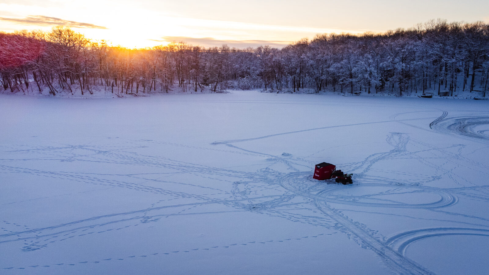

Ice Fishing Guide: Find Lakes, Fish and Productive Water
Whether you’re planning a dependable day with friends or exploring unfamiliar hard water, find the lakes, access information, maps, seasonal tactics, and planning tools you need to prepare for your next ice fishing trip.
Ice can change fast, and it can vary a lot across a single lake. Maps and imagery help you plan, but they can’t tell you the ice is safe. Check current local reports, and test the ice yourself when you get there.
Whether you’re planning a dependable day with friends or exploring unfamiliar hard water, find the lakes, access information, maps, seasonal tactics, and planning tools you need to prepare for your next ice fishing trip.
Ice can change fast, and it can vary a lot across a single lake. Maps and imagery help you plan, but they can’t tell you the ice is safe. Check current local reports, and test the ice yourself when you get there.
Find an Ice Fishing Lake Near You
You don’t have to start with a big-name destination. Look at lakes close to home first, then compare species, size, access, amenities, and the kind of fishing each one offers. Once you have a shortlist, check current ice conditions and local regulations.
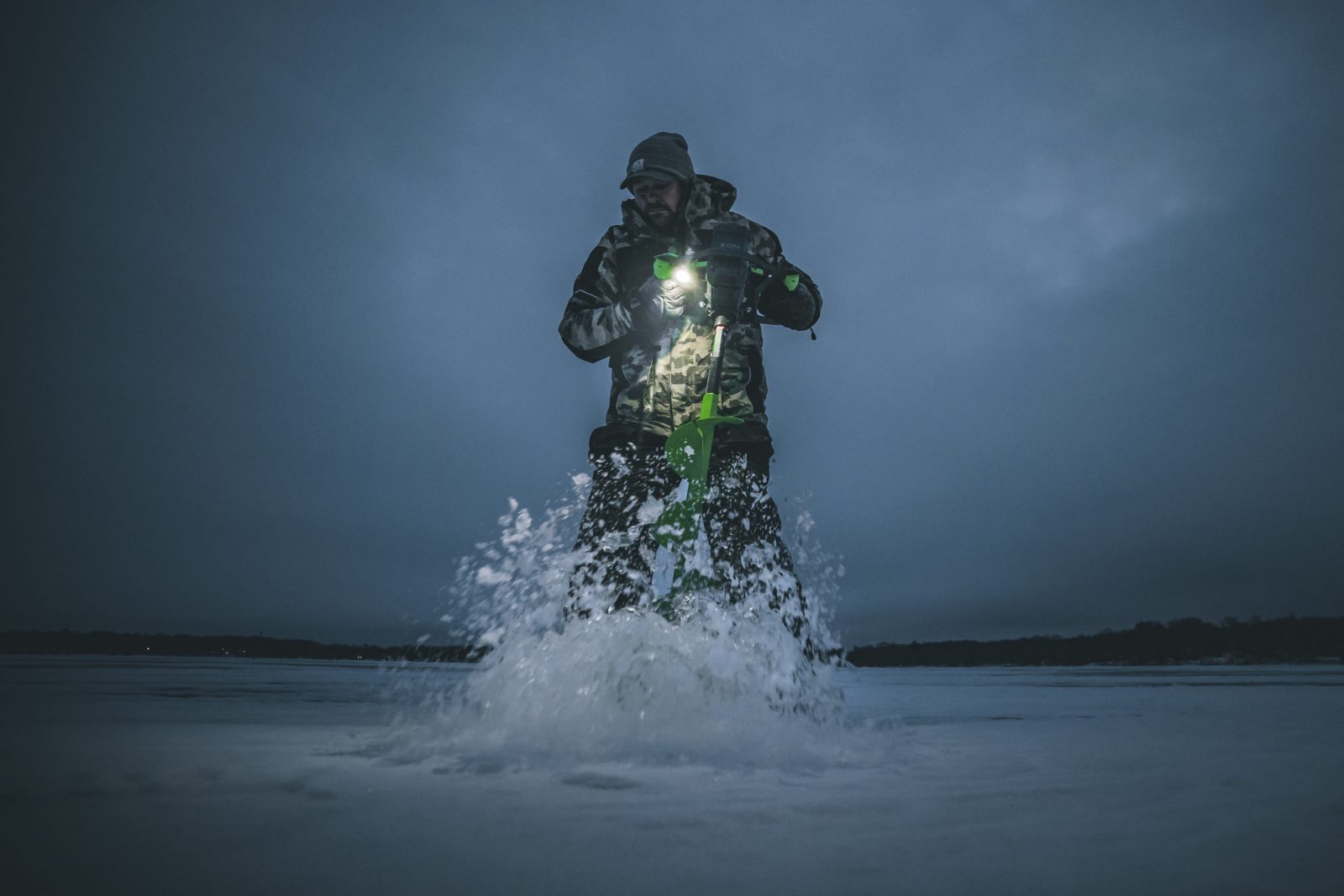
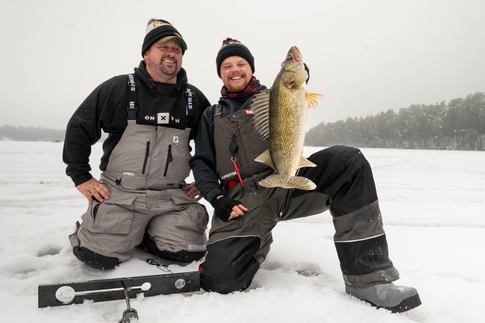

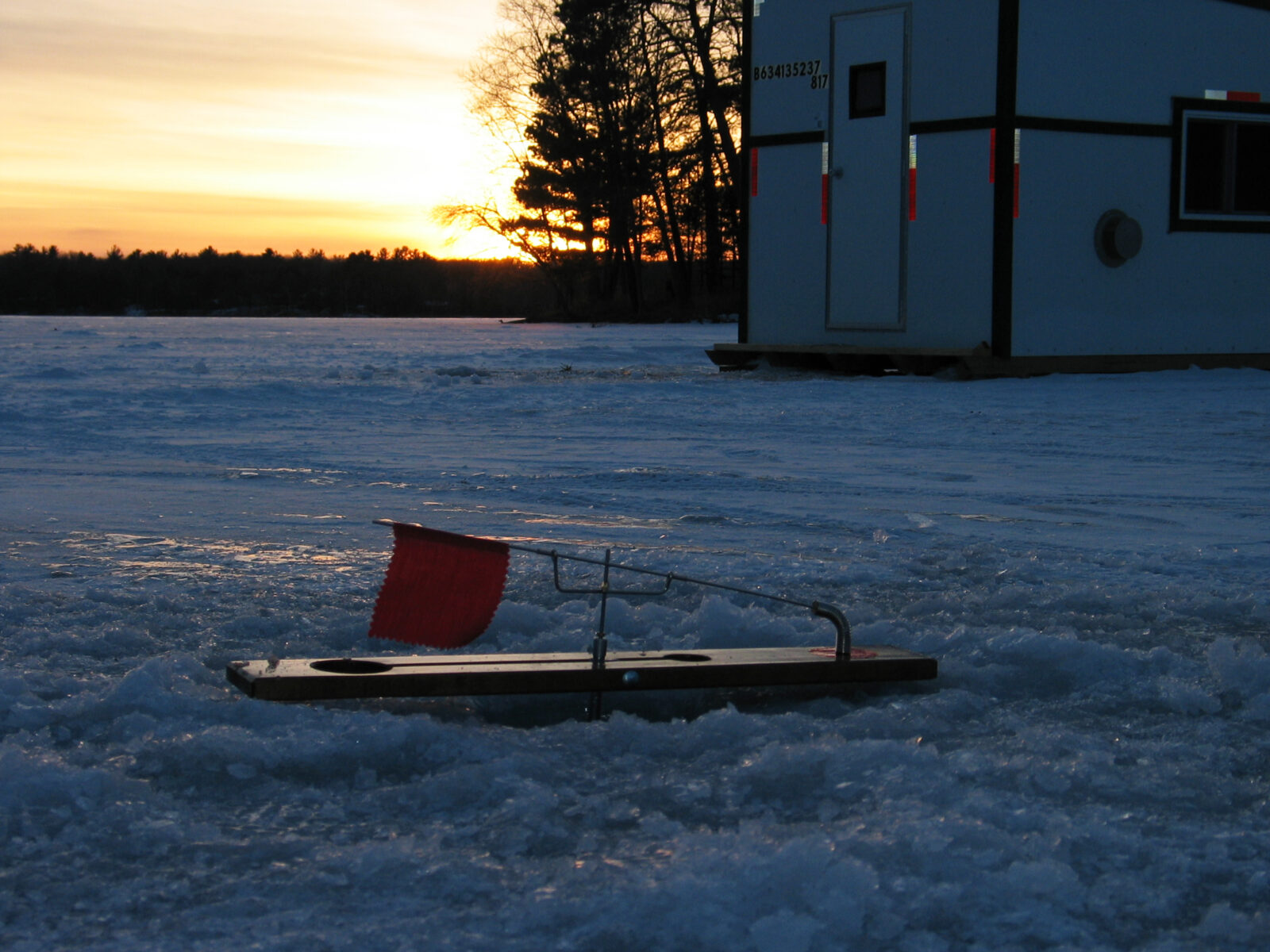
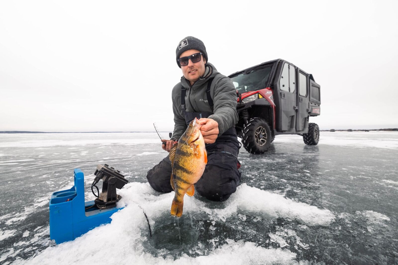

Meet onX Fish on the Ice This Winter
This winter, the onX Fish team is hitting the road to meet anglers at ice fishing shows, favorite fishing destinations, and events across the Midwest.
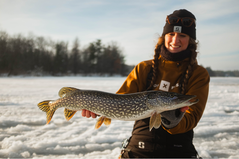
Understand Ice Fishing Species
Fish use different parts of a lake as winter goes on. Pick your target species first, then use lake info, depth contours, and seasonal habits to narrow down where to look.
Scout Productive Water Before You Drill
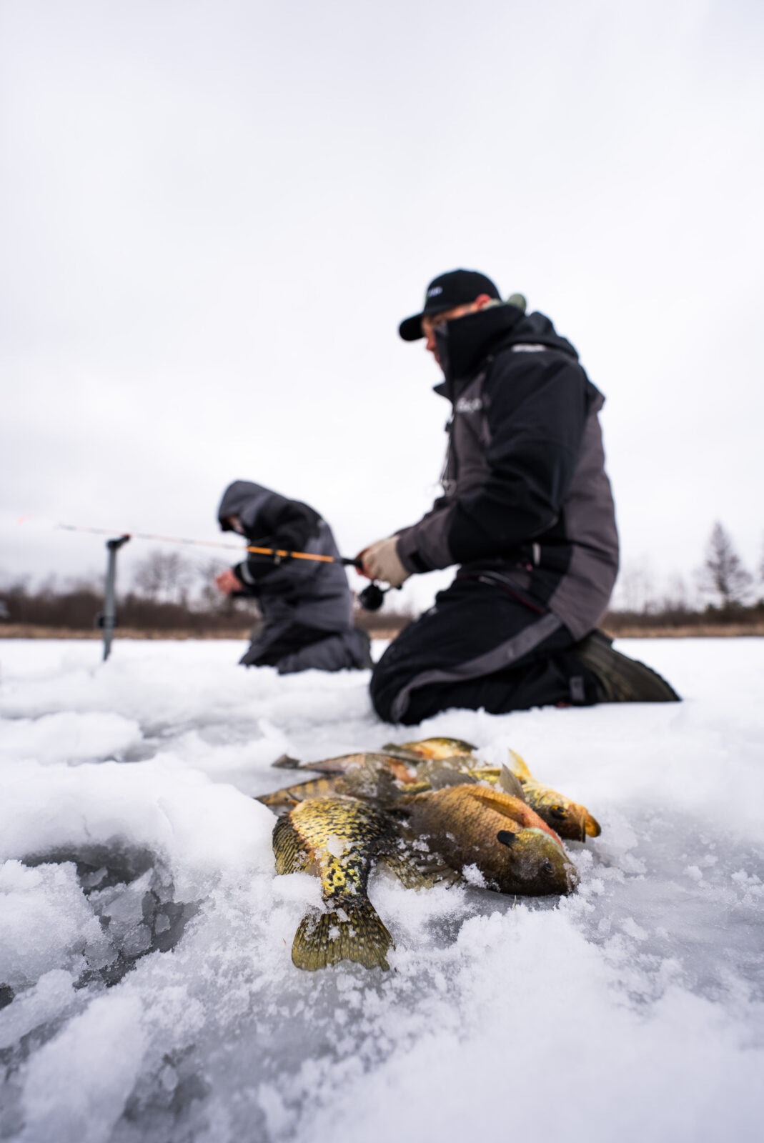
The best ice fishing days usually start before you ever leave the house. Use maps and fishing info to build a short list of promising spots so you’re not drilling holes at random.
Study Lake Structure
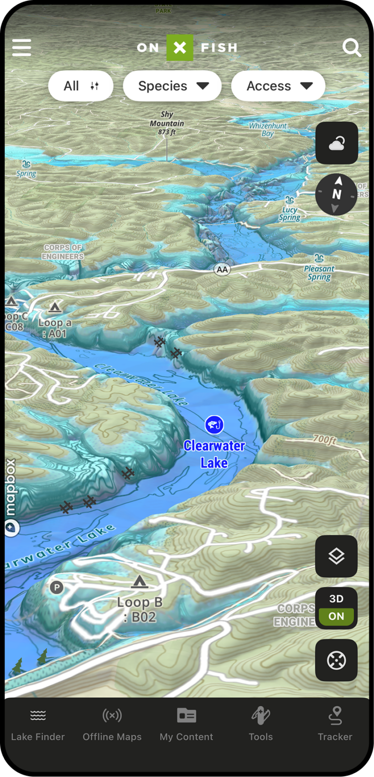
Use Lake Contours and 3D maps to examine:
- Drop-offs
- Humps
- Points
- Flats
- Basins
- Channels
- Weed edges
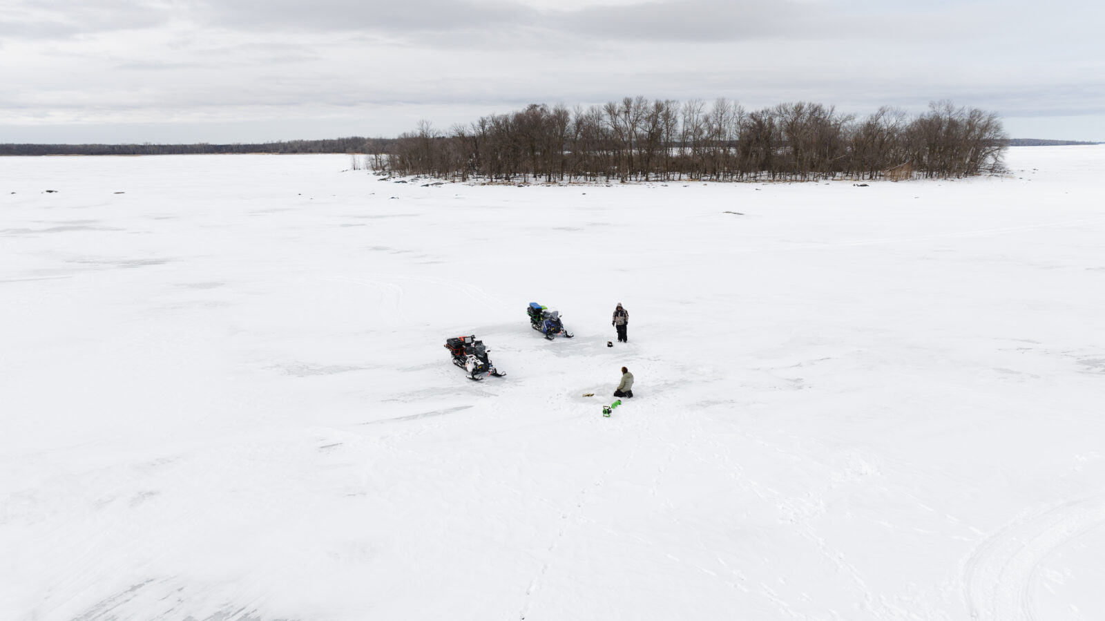

Start With Proven Areas
Let fishing areas, backed by verified tournament catches, professional fishing guides, and trusted fishery sources, point you toward areas worth a closer look.

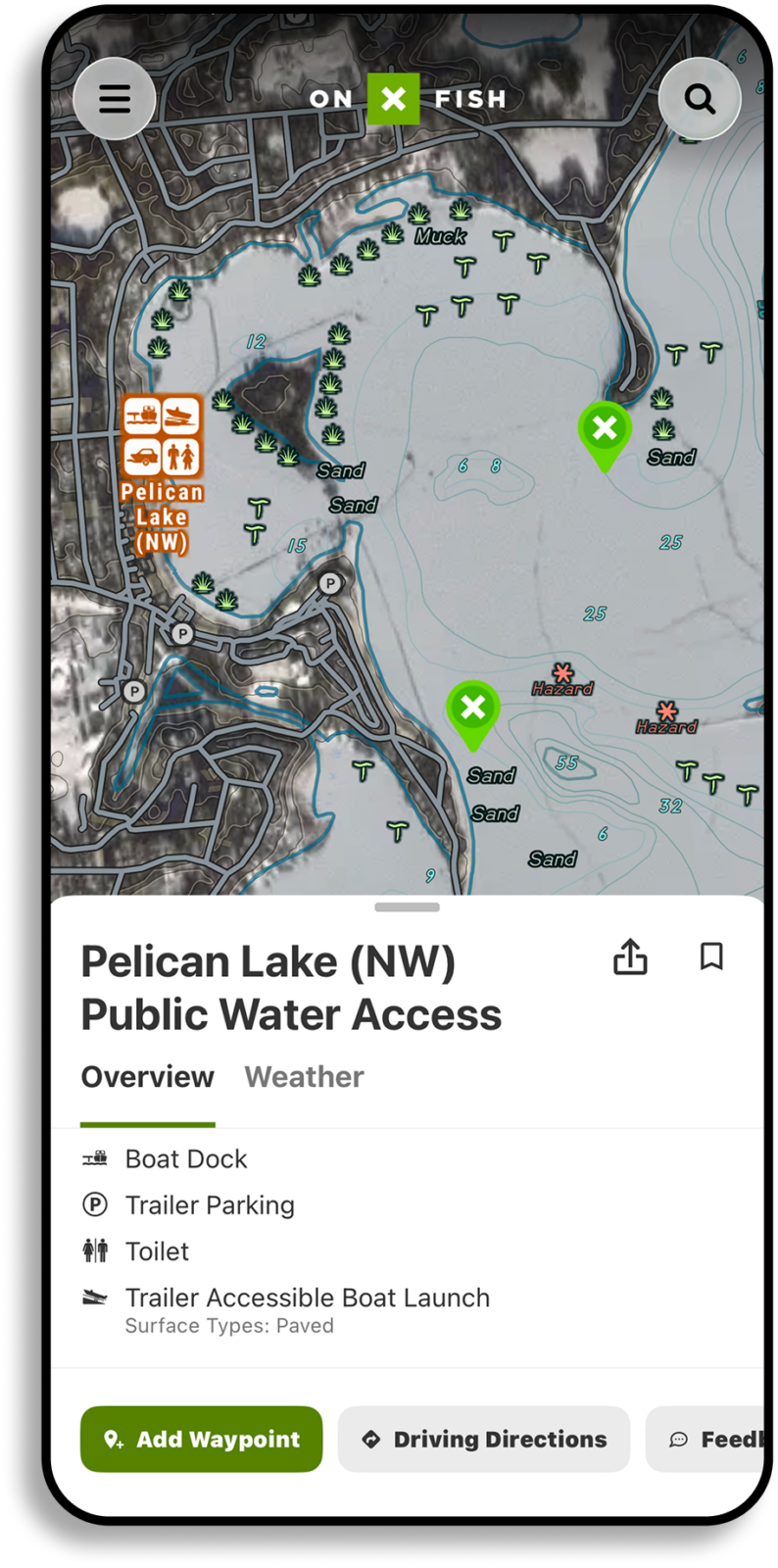
Build a Plan A and Plan B
Mark a few possible fishing spots, your access points, and a backup lake. If pressure, weather, access, or ice throws you a curveball, you’ll already have somewhere else to go.
Plan for Changing Ice Fishing Conditions
Ice fishing looks different from first ice to last ice. Here’s what to keep in mind at each stage.
Late Ice
Access and ice conditions can change fast.
Take a fresh look at shorelines, current, pressure ridges, and the weather.
Don’t assume a route you used earlier is still safe.

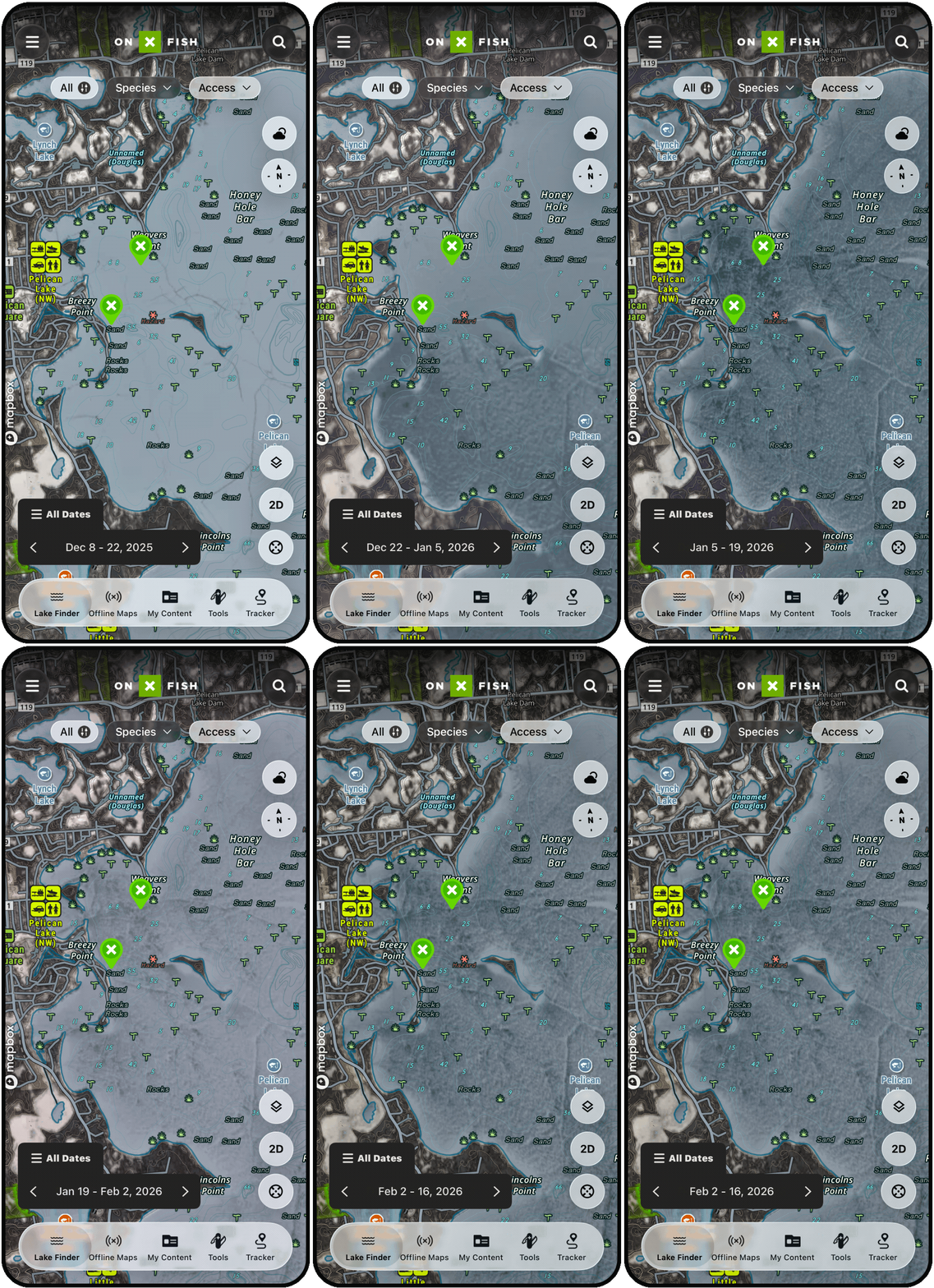
Recent Conditions and Imagery
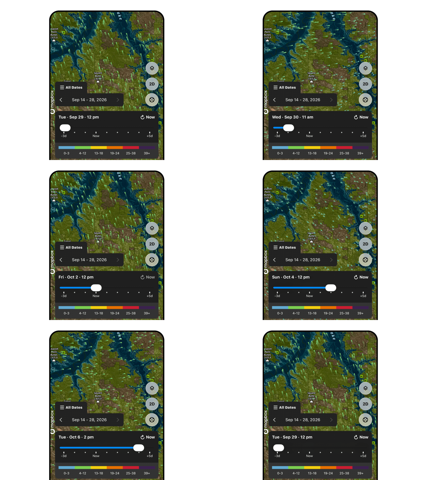
Recent imagery can show broad changes, help you spot where ice is forming, and give you a sense of activity around a lake. It isn’t proof the ice is safe.
Plan a Safer Day on the Ice
Ice can change quickly, and it can be solid in one spot and thin in another on the same lake. That’s why preparation matters, and why you should keep checking conditions as you go. Before you head out, confirm access, weather, regulations, and local conditions. Maps and imagery are useful for planning, but they can’t confirm that ice is safe.
Before you go
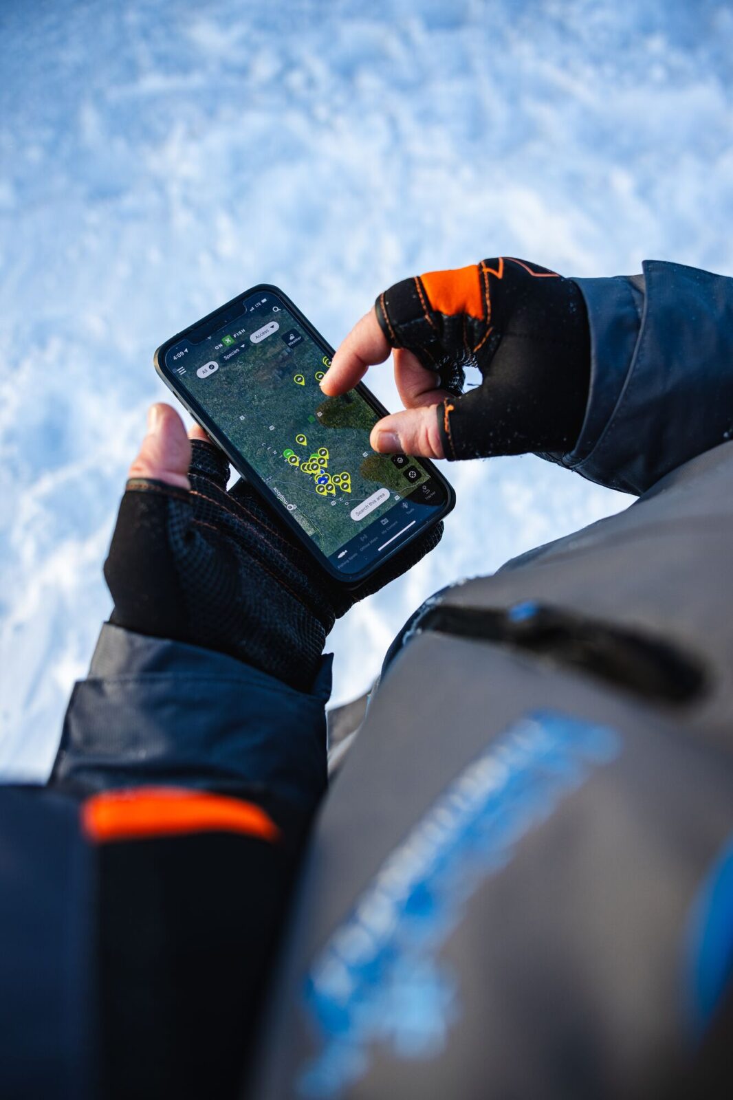
- Scout lakes in the onX Fish App.
- Drop Waypoints in interesting spots.
- Read current local ice reports.
- Check the weather and any big temperature swings in the forecast.
- Confirm legal lake access and where you can park.
- Let onX Fish guide you to the access point.
- Look over current fishing regulations.
- Download maps for offline use.
- Mark your access points and planned fishing areas.
- Pack navigation and ice-safety gear.
- Tell someone where you’re going and when you’ll be back.
- Have a backup lake or activity in mind.
When you arrive
- Check conditions yourself.
- Keep checking ice thickness as you move*.
- Be extra careful near current, inlets, outlets, bridges, springs, vegetation, and pressure ridges.
- Don’t treat tracks, other anglers, satellite imagery, or a past trip as proof the ice is safe.
*Before Driving Onto the Ice
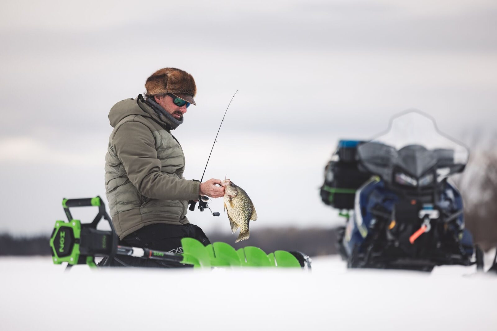
Taking a vehicle onto a frozen lake adds real risk. Before you do, talk to local authorities or experienced local operators, confirm conditions along your entire route, and find out whether vehicle travel is recommended at all. Don’t judge ice by how it looks, by tracks on it, by other vehicles, or by what it was like last time.
Before driving:
- Use a maintained access point or established route when there is one.
- Check ice conditions and thickness again and again along the way.
- Stay away from inlets, outlets, current, pressure ridges, cracks, open leads, and slush.
- Drive slowly and leave plenty of room between vehicles.
- Mark your access point, known hazards, and the route back.
- Download maps before you lose cell service.
- Be ready to turn around, or leave the vehicle on shore, if conditions seem uncertain.
- Remember that GPS, maps, and imagery help with navigation, but they can’t tell you whether the ice will hold a vehicle.
Improve Your Ice Fishing Technique
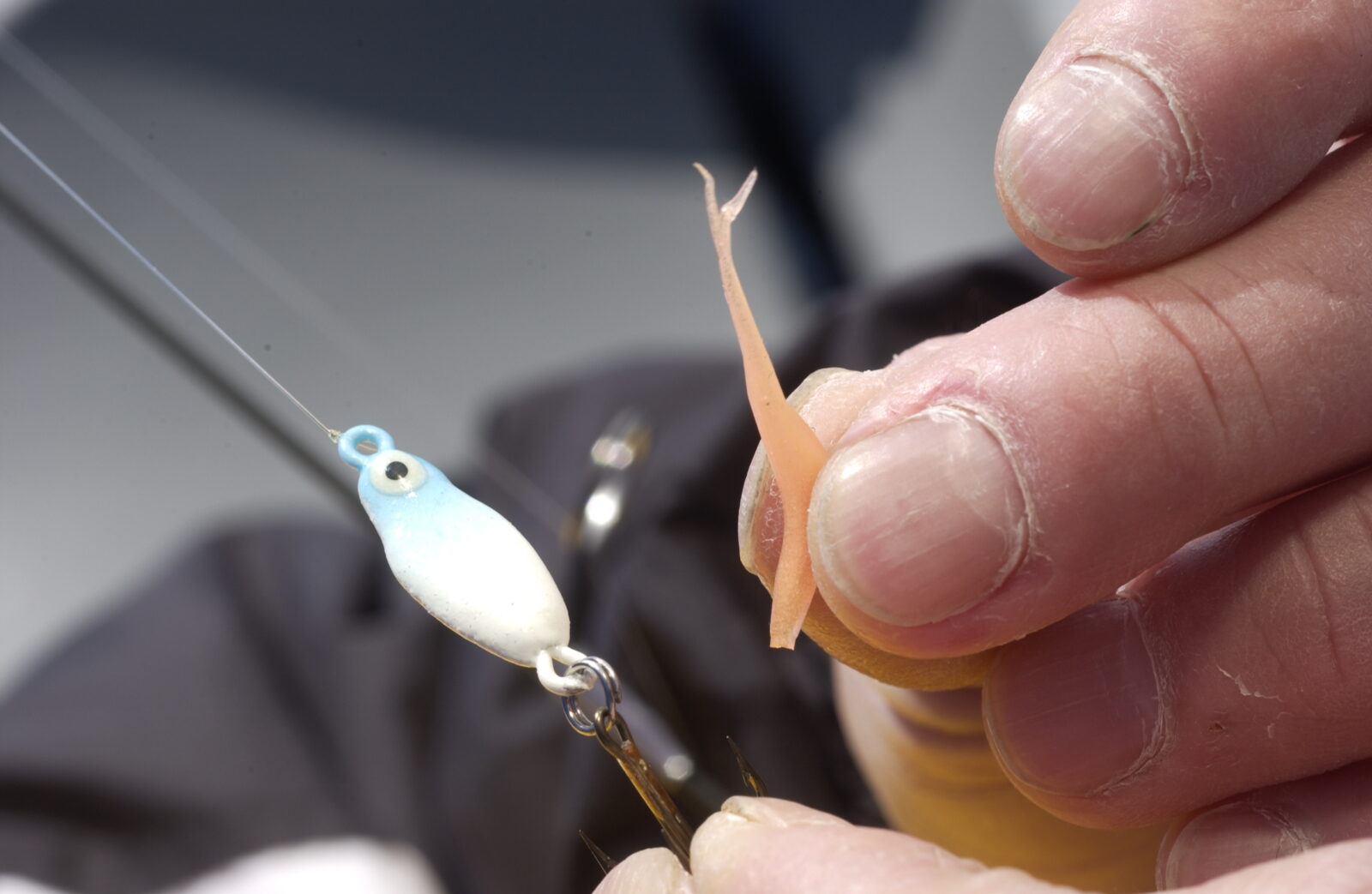
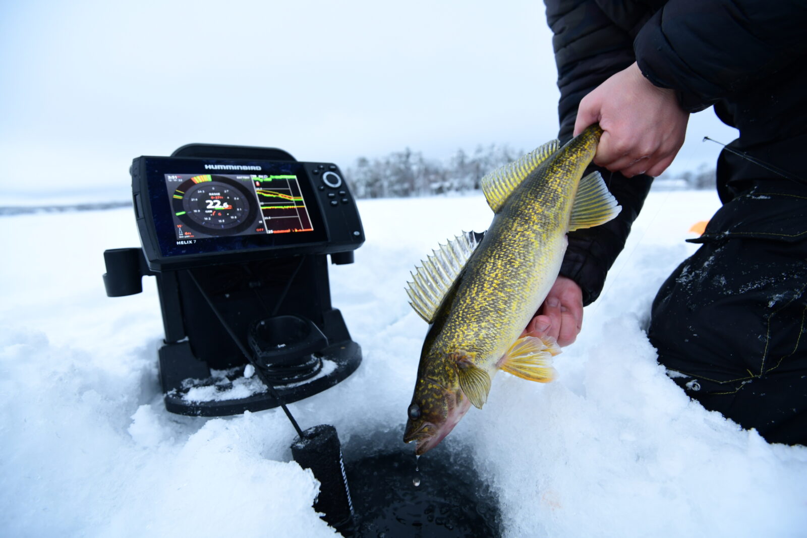
Ready to go from planning to fishing? onX Fish can help. See the guides below on early ice techniques, what bait to use for ice fishing and more.

Plan the Kind of Day You Want on the Ice
Pick a lake and a plan that both fit who you’re fishing with and the kind of day you’re after.
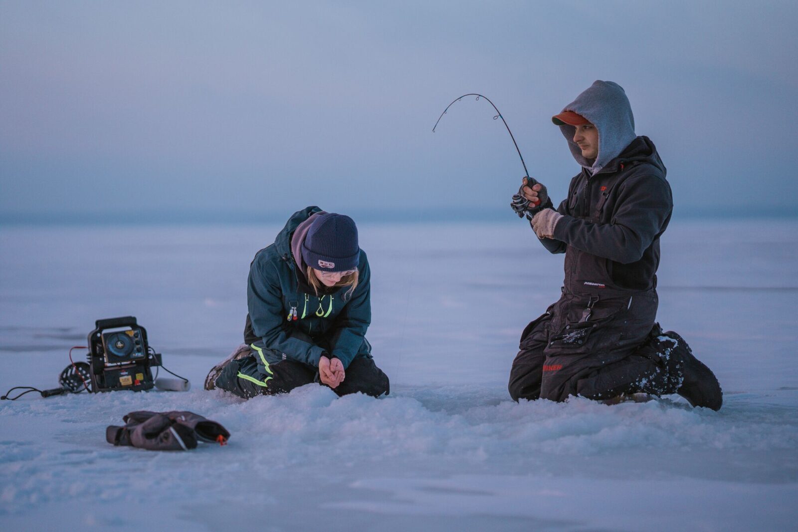
Plan a Group or Family Trip
Look for lakes with reliable access, easy parking, plenty of ways to fish, and a shorter drive. Save your fishing areas, share the plan, and pick a backup spot in case conditions change.
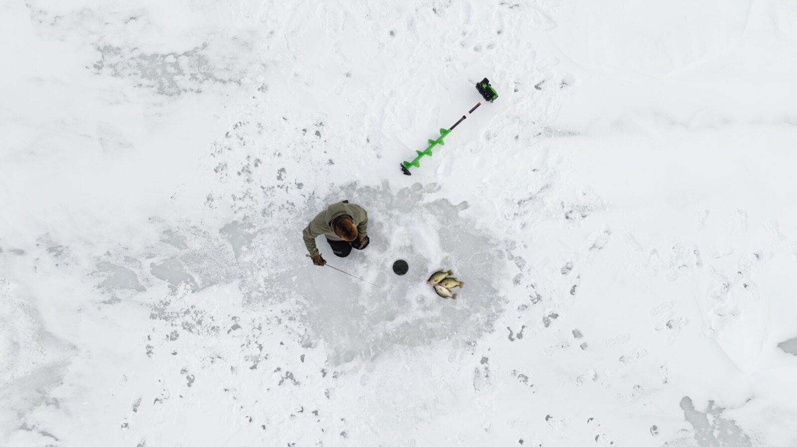
Explore New Water
Want to fish somewhere different? Compare nearby lakes, species, access, and structure to find promising water, and maybe some that sees less pressure, before you go.
Plan Your Trip With onX Fish
Once you know what you want to catch, use onX Fish to turn it into a plan. Find a promising lake, scout possible spots, check access and conditions, and save everything you’ll need when you get there.
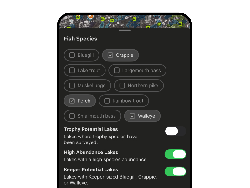
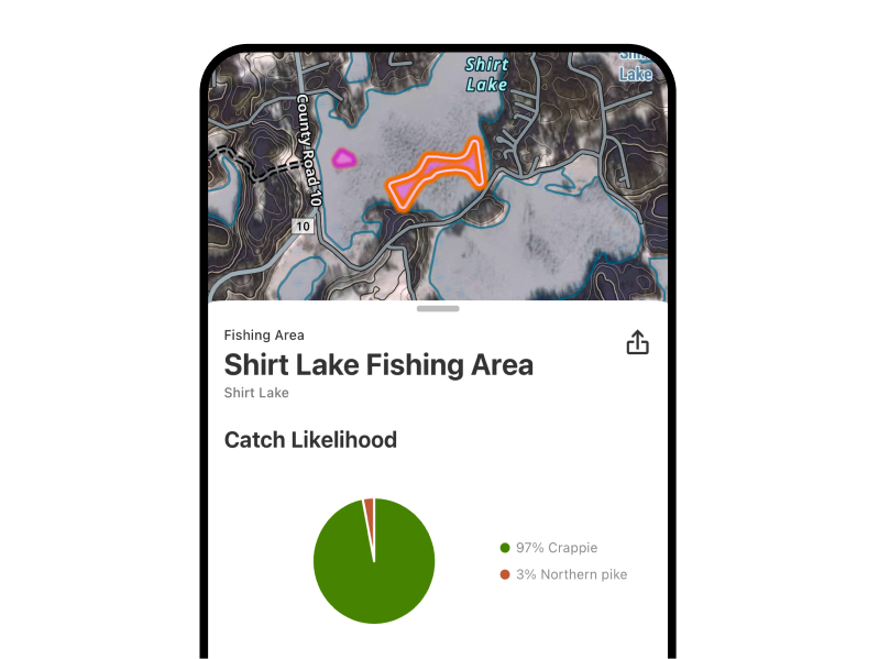
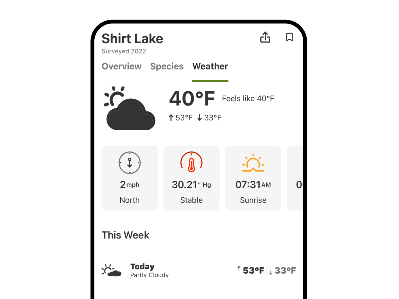
Tools: Public Access Information, Regulations, Weather, Fishing Reports and Recent Imagery
Find the Right Water Before You Hit the Ice
Pick a lake, study the structure, mark your spots, and save your plan before you head out.
Start by narrowing your search to lakes known to hold your target species. Ask local bait shops, fishing guides, and experienced anglers for recommendations, then use onX Fish to explore lake depths, underwater structure, access points, and nearby facilities.
Look for lakes with a mix of habitat that supports the fish you want to catch. Walleye anglers might prioritize points, breaklines, and basin edges, while panfish anglers may focus on weedlines, flats, and deeper basins.
If available, check local fishing reports for recent information about productive depths, presentations, and current fishing patterns. Combine that local knowledge with your own map research to build a shortlist of lakes worth exploring.
onX Fish tip: Save a few promising lakes and potential fishing areas before your trip. Having backup options makes it easier to adjust if conditions or fishing pressure change.
Start with the lake’s bathymetric map, which shows underwater depth contours. Look for places where depth changes create natural travel routes or feeding opportunities, such as steep breaklines, points, humps, and transitions between shallow and deep water.
Consider the species you’re targeting and the season. Fish may relate to shallow vegetation early in winter, move toward deeper structure as conditions change, or gather near basin edges where food is available. These are starting points, not guarantees—fish location varies by lake, weather, forage, and time of day.
Use onX Fish to identify promising areas, drop Waypoints on likely fishing spots, and plan how you’ll approach them. Once you’re on the ice, use your sonar or flasher to verify actual depths and locate fish.
onX Fish tip: Mark several spots at different depths instead of committing to one location. A short list of options helps you move efficiently when fish aren’t cooperating.
Underwater structure gives fish places to feed, travel, and find cover. Learning to read lake contours helps you identify likely fish-holding areas before you drill your first hole.
Five important features to look for on a bathymetric map include:
- Points: Underwater extensions of land that reach into deeper water. Fish may use points as travel routes between shallow feeding areas and deeper water.
- Breaklines: Areas where the lake bottom drops from one depth to another. Breaklines can concentrate fish moving between shallow and deep water.
- Humps and underwater reefs: Elevated areas surrounded by deeper water that can attract baitfish and predators.
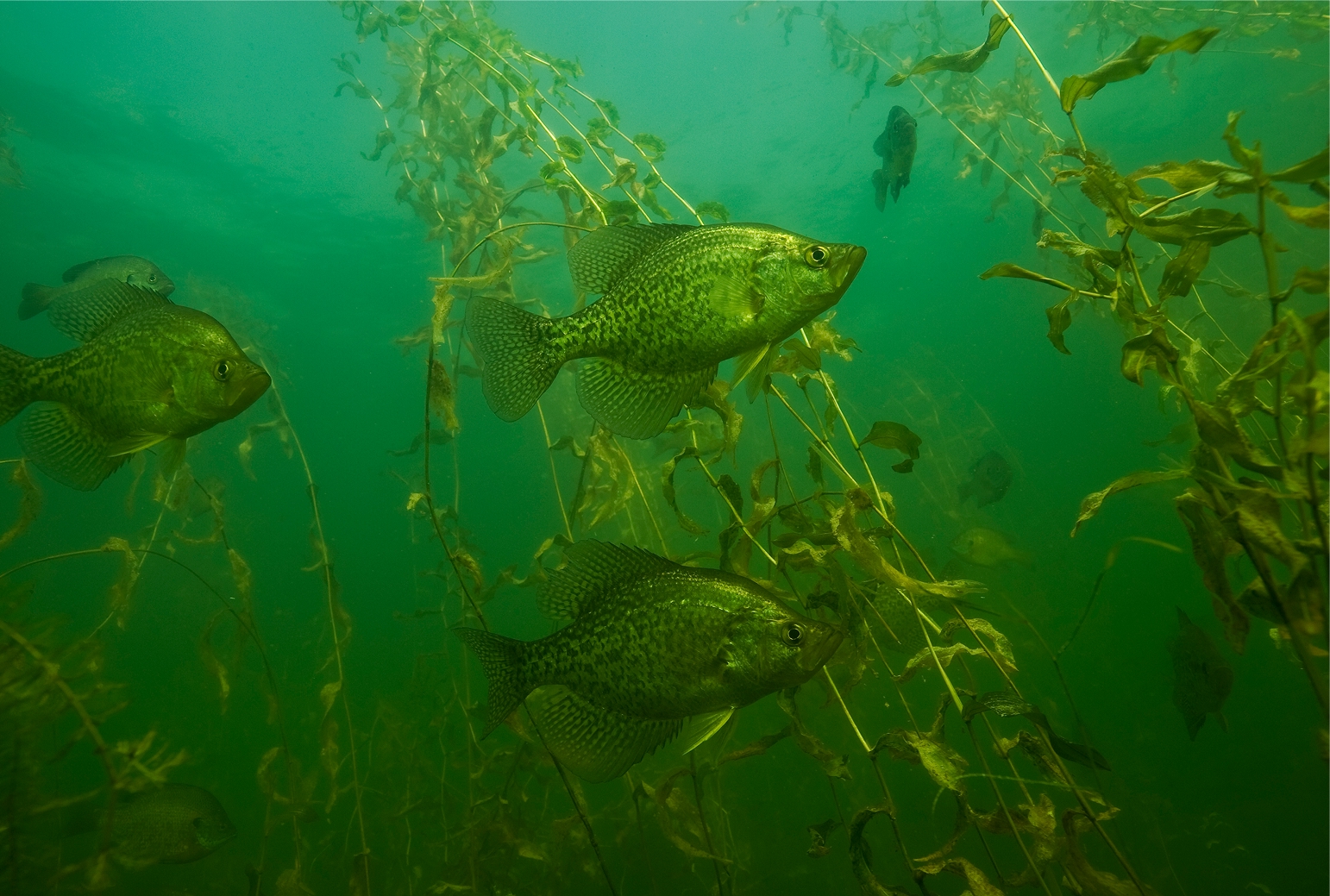
- Flats and weedlines: Relatively shallow, level areas and vegetation edges that can hold panfish, bass, and other species, depending on the lake and season.
- Basins and basin edges: Deeper areas and their transitions that can be productive for suspended fish or species following schools of baitfish.
Use onX Fish bathymetric contours to locate these features, compare depths, and mark potential fishing spots. Look for places where multiple features meet, such as a point intersecting a breakline or a weed edge bordering deeper water.
onX Fish tip: Don’t focus only on the deepest part of the lake. The transition between shallow and deep water can be just as important as the basin itself.
Ice fishing opportunities depend on the lake, region, season, and local regulations. In many northern U.S. fisheries, anglers target a variety of game fish and panfish.
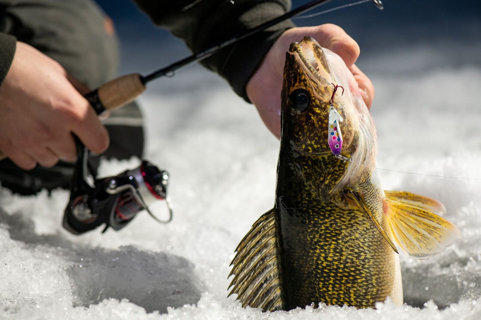
- Walleye: Often targeted around points, breaklines, and basin edges, particularly during low-light periods.
- Northern pike: Frequently associated with weedlines, shallow bays, and areas where prey fish gather.
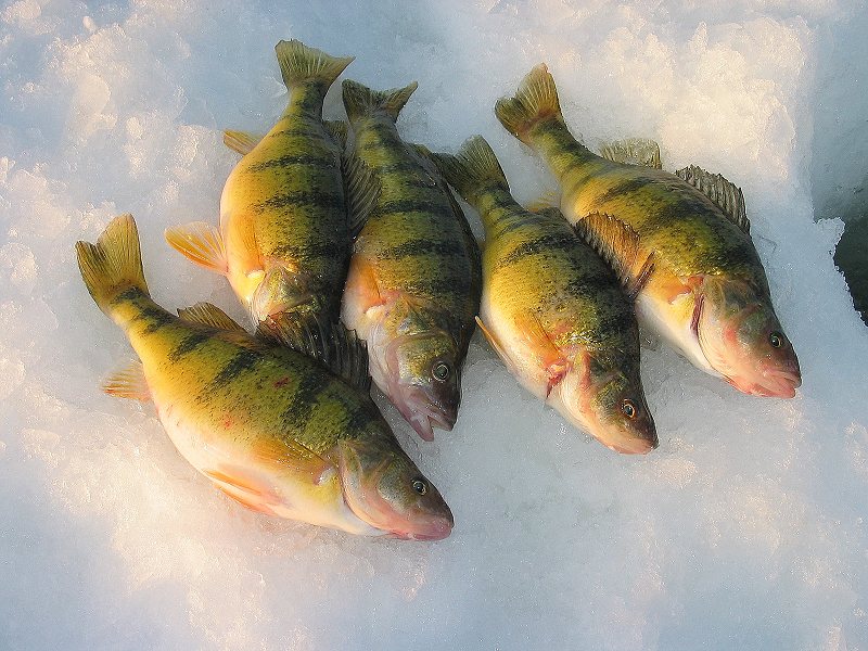
- Yellow perch: Found over flats, near weed edges, and around deeper basins, depending on the season.
- Crappie: May suspend over deeper water or gather around basin edges.
- Bluegill and other sunfish: Often associated with vegetation, shallow flats, and nearby depth changes.
- Lake trout: In suitable lakes, anglers often target deep water and underwater structure.
- Trout and other regional species: Some lakes offer opportunities for stocked trout, whitefish, burbot, and other fish through the ice.
Use onX Fish to explore lakes that support your target species and identify the underwater habitat they may use. Local fishing reports can provide additional insight into productive depths and techniques.
Before you go, check your state’s current fishing regulations for seasons, size limits, bag limits, and any special lake-specific rules.
onX Fish tip: Choose your target species first, then research lakes with suitable habitat. It’s a more focused approach than picking a lake and hoping the fish you want are there.
Legal access is an essential part of ice fishing trip planning. A lake may look accessible on a map, but the shoreline, surrounding land, parking area, or route to the ice may have restrictions.
Before leaving home, research public boat launches and access sites, public and private land boundaries, winter parking rules, road conditions, and any local restrictions on motor vehicles, snowmobiles, shelters, or access to specific waters.
Use onX Fish to research the lake and identify potential access areas. Where available, use property boundaries and land ownership information to understand who manages the surrounding land. Confirm access rules with the relevant land manager before your trip.
Remember that legal shoreline access does not establish that the ice itself is safe to travel on.
onX Fish tip: Save your intended access point and parking location before you leave. Having a clear starting point makes navigating an unfamiliar lake easier.
Fish behavior changes throughout winter as water temperatures, oxygen levels, available forage, and seasonal patterns shift. Your approach should change with them.
Early ice: Early winter can offer opportunities around remaining vegetation, shallow flats, weed edges, and nearby breaklines. Some fish continue using areas they occupied in late fall.
Midwinter: Snow cover, changing light, and reduced vegetation can influence fish distribution. Depending on the lake and species, fish may move toward deeper water, basin edges, or remaining cover.
Late ice: As winter transitions toward spring, increasing daylight and seasonal fish movements can make shallow feeding areas, weed edges, and migration routes worth revisiting. Patterns vary by species and waterbody.
Use onX Fish to revisit marked spots, compare nearby depths, and build a flexible plan for changing conditions. Local fishing reports can supplement your map research with observations from people fishing the area.
Important: Early ice and late ice can both be hazardous. Check current local conditions, assess the ice as you travel, and carry appropriate safety equipment. No map or fishing report can certify ice as safe.
Your gear depends on the species you’re targeting, how long you’ll be out, and whether you’re walking, using a snowmobile, or traveling by another vehicle. A well-planned checklist helps you avoid forgetting essential equipment.
Important items include ice picks, flotation equipment, an ice-assessment tool such as a spud bar, a throw rope, first-aid kit, emergency communication device, auger, fishing tackle, sonar or flasher, insulated clothing, food and water, a headlamp, and any shelter or traction aids you need.
For trip planning, bring a phone with downloaded Offline Maps, a power bank, saved Waypoints for fishing spots and access points, current regulations and licenses, and a backup lake or fishing location.
onX Fish tip: Prepare your navigation before you leave cell service. Save your lake, access point, and likely fishing locations so you can reference them without relying on a live connection.
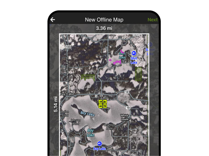
Cell service can be unreliable in remote areas, on large lakes, or far from shore. Downloading maps for offline use before your trip helps you access important navigation information when you can’t get a reliable connection.
With Offline Maps in onX Fish, you can keep relevant map information available when service drops, use saved Waypoints to find planned fishing spots, navigate back toward your access point, and organize potential fishing areas before leaving home.
Download the appropriate map area while you have a reliable connection, and verify that the map data you need is available offline. GPS positioning may still work without cellular service on a compatible device, but Offline Maps do not replace proper navigation skills, emergency equipment, or awareness of changing conditions.
onX Fish tip: Download a generous area around your intended fishing location, including your access point and potential backup spots. Keep your phone charged and carry a backup navigation plan.
No. Satellite imagery cannot reliably determine whether ice is safe to walk, fish, or drive on.
Satellite imagery can help you understand a lake’s surroundings, locate access points, identify shoreline features, and plan where to begin your trip. Depending on image conditions and resolution, it may also reveal visible changes in snow or ice coverage.
However, imagery cannot reliably establish ice thickness, strength, or whether dangerous weak spots exist beneath snow or at pressure cracks. Images may also be outdated, obscured by clouds or snow, or captured before recent weather changes.
Ice conditions can vary significantly across a single lake. Inlets, outlets, springs, current, vegetation, pressure ridges, and changing temperatures can all create hazardous areas.
Use onX Fish to plan where you want to go, not to determine whether the ice is safe. No thickness guideline or map layer can guarantee safe ice.
A successful trip to an unfamiliar lake starts with research and a plan that can adapt to changing conditions. Use onX Fish to study the lake before you arrive, then prepare a few options rather than relying on a single spot.
Start by choosing your target species and confirming the lake supports it. Then study bathymetric contours for points, breaklines, humps, flats, weed edges, and basin transitions. Check local fishing reports, confirm legal access and parking, save Waypoints, and download Offline Maps before leaving reliable service.
Check weather and ice conditions separately using current local information, and assess conditions on site. Build a flexible fishing plan with several possible areas at different depths, then use sonar or a flasher to verify depths and locate fish once you’re on the ice.
onX Fish tip: Think of your map as the starting point for your fishing strategy. Combine bathymetric contours, saved Waypoints, offline navigation, and local knowledge to spend less time figuring out where to start and more time fishing.