
Animated Wind Forecast Map for Anglers
See How Wind Moves Fish—Before You Make a Cast
See How Wind Moves Fish—Before You Make a Cast
Why Wind Matters for Anglers
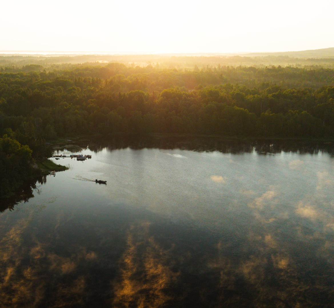
Wind is one of the most powerful forces affecting fish behavior in lakes. As wind moves across the surface, it pushes water, creates currents, redistributes oxygen, and shifts where food collects. These changes influence where fish position and how actively they feed.
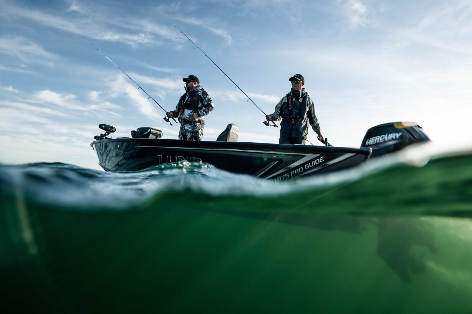
Wind doesn’t just affect your boat; it shapes where fish feed, travel, and stack up. Animated Wind on the Map in onX Fish lets you visualize wind direction and movement across the entire lake, helping you understand how conditions are pushing bait, concentrating fish, and shaping the day’s bite.
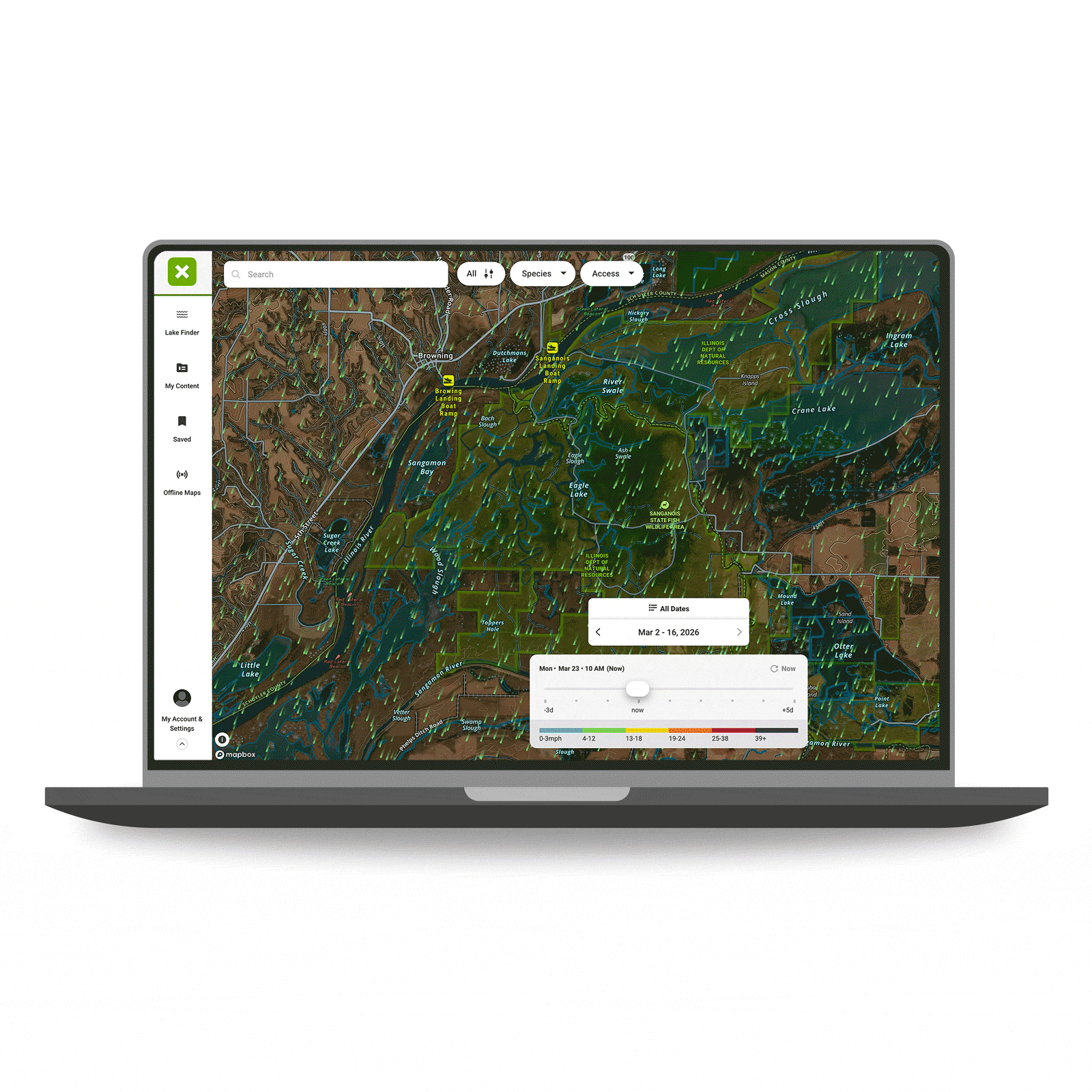
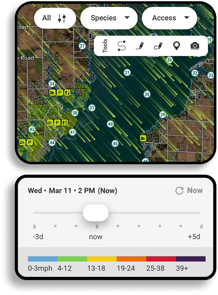
Understanding wind patterns helps anglers identify the most productive areas of a lake—often before the first cast is made. Watch wind patterns unfold directly on the map, identify windblown structure, and spend less time guessing where fish might be. You can also analyze in which direction, duration, and speed the wind blew in previous days, helping you locate and target fish and fill your cooler.
Animated Wind helps visualize patterns across the entire lake, making it easier to recognize where fish are likely to be holding.
When to Use the onX Fish Animated Wind Feature:
Predict windblown shorelines: Use the animated wind map to spot the downwind shoreline where bait and fish often stack up after sustained wind.
Historical wind information: Scroll back in time to see shorelines and offshore structure that has been windblown over the past 72 hours, targeting areas where fish have already congregated.
Use wind to pick the right structure: See which points, reefs, weed edges, islands, or humps are being hit by wind—and which areas are protected—so you can choose the most productive water to fish.
Plan drifts and safer routes with a wind forecast map: Preview exposed water, set drift plans, and choose protected zones when wind ramps up.
Ice season awareness: Wind affects comfort and can contribute to changing conditions near hazards like pressure ridges and thinner shoreline ice. Visualizing wind patterns helps anglers anticipate these factors while planning where to fish.
Map Your Way to Success
Use onX Fish to find the size and species of fish you want to catch. Try onX Fish Midwest today.
How To Use Animated Wind
On Desktop
- Open onX Fish Web Map.
- Select Map Layers.
- Turn on Animated Wind.
- Use the time controls to visualize wind movement and direction across the lake.
- Zoom in to analyze how wind interacts with specific shorelines and structure.
See other onX Fish App features, like Recent Imagery or Species Abundance Insights.
FAQs
How does wind affect where fish bite on a lake?
Wind pushes surface water across the lake, which redistributes oxygen, temperature, and food sources like plankton and baitfish. Predator fish often move toward areas where wind has concentrated food, making these locations more productive for anglers.
What is a windblown shoreline?
A windblown shoreline is the downwind side of the lake where wind-driven currents push water, plankton, and baitfish. These areas often become feeding zones where predator fish gather.
Is the downwind side always better for fishing?
Not always. But after sustained winds, the downwind side of the lake often becomes more productive because food sources accumulate there. Conditions, species, and lake structure can influence the pattern.
How long does wind need to blow to move fish?
Wind effects can begin within hours, but 24 hours or more of steady wind from one direction often creates stronger patterns where baitfish and predator fish concentrate in predictable areas.
Is onX Fish like the Windy app?
Animated Wind in onX Fish is built specifically for anglers. Instead of just showing weather data, it overlays wind patterns directly on the fishing map so you can see how wind interacts with shorelines, structure, and fishing access points.
What’s the best way to predict wind on a lake?
The best approach is combining wind forecasts with lake structure. Animated Wind allows anglers to see both at once, making it easier to predict where wind-driven currents will influence fish positioning.
How can Animated Wind help with boat positioning?
Seeing wind direction and intensity on the map helps anglers plan drifts, boat positioning, and safer routes across open water, especially on larger lakes where wind conditions can change quickly.