Safe Travel on the Ice: Using Tracker, CarPlay, and GPS Navigation for Driving on Ice
When winter rolls around, we take the time to winterize our cars, putting on snow tires, adding cold-weather fluid to the windshield wipers, and generally winterizing our vehicles. What people often forget, however, is the actual driving part. Staying safe while traveling in the winter has a different meaning for outdoorsmen: on-ice, we have to be able to plan safe travel routes, avoid hazards like pressure ridges or open leads, and confidently reach and mark productive ice fishing spots.
Below, we’re going to explore how anglers can use onX Fish’s Tracker, CarPlay, and GPS navigation features to safely travel and navigate on frozen lakes. Plan routes, mark safe zones, and navigate confidently on ice this winter with onX in your hand.
TL;DR: Stay safe while driving on frozen lakes this winter with onX Fish. Use Recent Imagery to spot hazards like cracks, pressure ridges, and thin ice before heading out. Turn on Tracker to record your route and safely retrace it in low visibility. Connect CarPlay for hands-free GPS navigation, and use Waypoints to mark safe travel lanes, fishing spots, and access points. With offline maps and real-time tracking, onX Fish helps anglers plan routes, avoid danger, and navigate confidently on the ice.
Why Ice Travel Safety Matters
Traveling across ice can be both necessary and dangerous but it’s an essential undertaking if you’re going to fish on or through it, especially in regions where frozen lakes or rivers serve as seasonal routes. Understanding why ice safety matters starts with recognizing how unpredictable ice conditions can be. Temperature fluctuations, shifting currents, and the formation of pressure ridges can all dramatically affect the strength and stability of ice. Because of these variables, safe travel relies heavily on real-time decision-making and careful route planning, often requiring local knowledge and constant attention to the environment.
Several challenges make ice travel particularly risky, especially with early ice. Unmarked cracks or hidden slush pockets can pose sudden hazards, easily catching even experienced travelers off guard. Areas around inflows and outflows—where rivers or streams enter or exit a body of water—are especially dangerous due to weaker, thinner ice. Additionally, snow cover or poor visibility can make it easy to lose direction or miss warning signs of unstable ice. Being prepared for these conditions is crucial to ensuring a safe journey over ice.
Fish with confidence this winter
Start using onX Fish Midwest today.
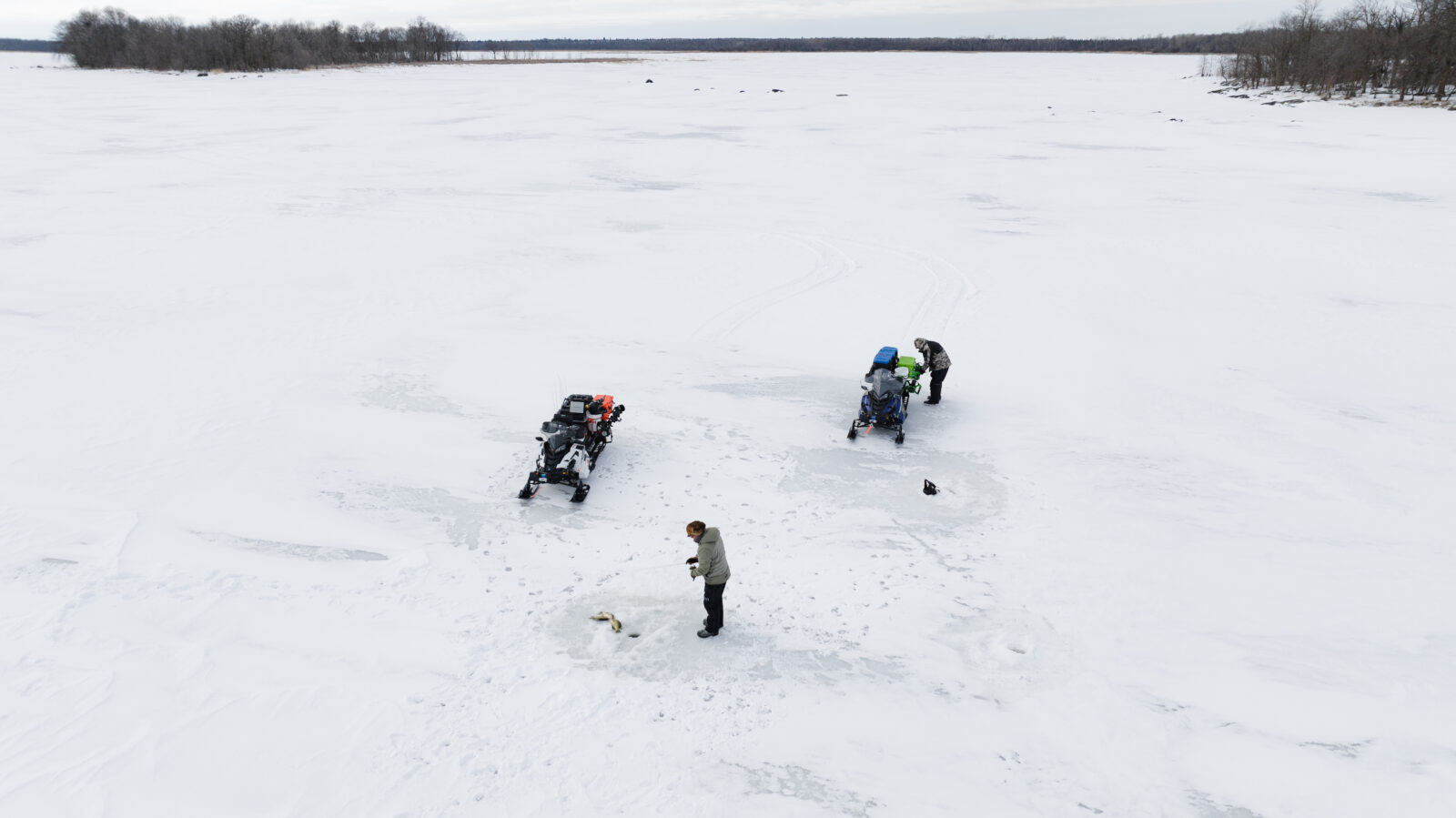
Planning Safe Travel Routes Before You Go
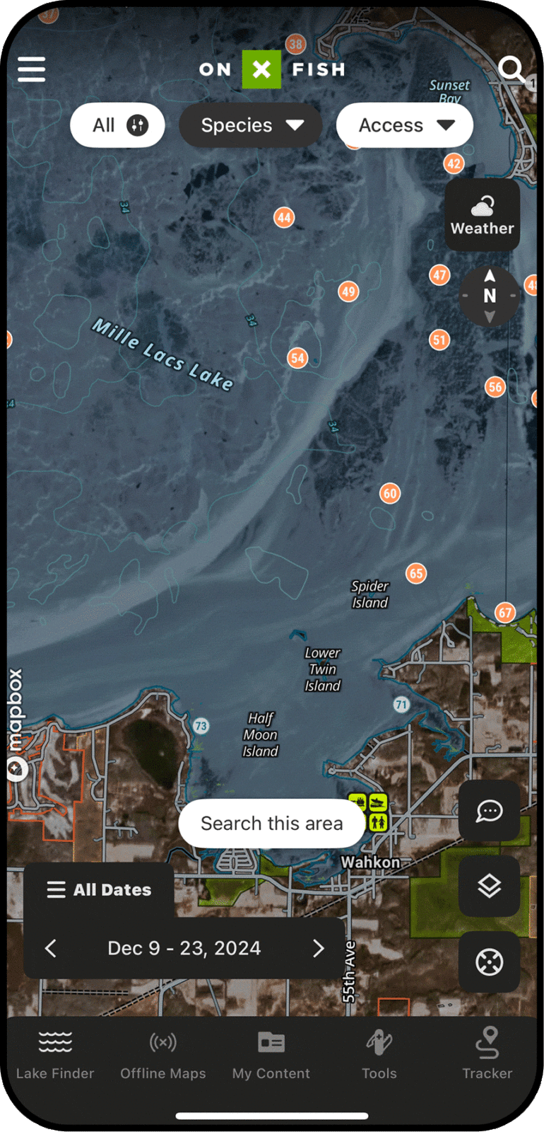
onX Fish Recent Imagery is a valuable tool for improving safety and efficiency when traveling over ice. One of its key benefits is the ability to spot potential hazards such as pressure ridges and dark patches, which often indicate areas of thin or unsafe ice. By identifying these features in advance, travelers can adjust their routes to avoid dangerous conditions before setting out.
The imagery also helps in locating existing travel lanes or plowed roads, which can offer safer and more reliable paths across the ice. Planning entry and exit points becomes easier with a clear visual reference, ensuring smoother transitions on and off the ice. For added safety, users can pair recent imagery with detailed maps to avoid areas where sudden changes in depth could create weak ice in areas with current, particularly near steep drop-offs or underwater features. Together, these tools provide a comprehensive view of the ice landscape, supporting better-informed decisions and safer travel.
Driving Safely on Iced Over Lakes
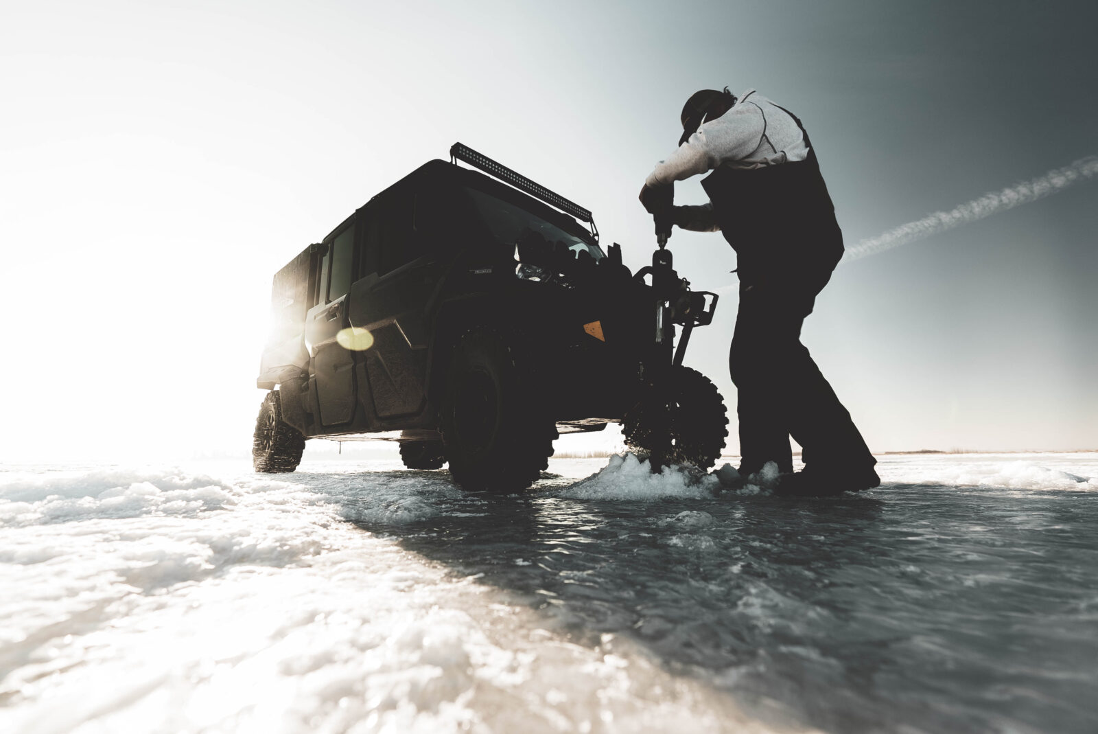
When driving on frozen lakes, safety begins with checking ice thickness. For most vehicles, a minimum of 8 to 12 inches of solid, clear ice is recommended before attempting to drive across. Never assume uniform conditions—ice thickness can vary drastically depending on location, currents, and recent weather changes.
While driving, keep your vehicle windows down and doors unlocked. This precaution allows for a quick exit in case the ice gives way. It’s also important to drive slowly, ideally under 10 mph, to avoid creating pressure waves beneath the ice that can cause it to crack or break. Avoid parking close to other vehicles, as concentrated weight can weaken the ice beneath.
Using tools like onX Fish Midwest can enhance safety by helping you mark and navigate key features. With onX, you can identify and record the locations of cracks, open leads, access trails, and other critical points. This not only helps you avoid hazards but also makes it easier to plan safe return routes or assist others.
How Tracker, CarPlay, and GPS Navigation Improve Safety on the Ice
Using Tracker, CarPlay, and GPS navigation within the onX Fish App can significantly enhance safety when traveling on frozen lakes and rivers. At the landing, turn on the Tracker feature to trace your updated location as you drive out on safe/known paths. With hands-free mapping, you can view your route directly on your vehicle’s dashboard display, allowing you to stay focused on driving while still keeping track of your location and direction. This reduces the need to handle your phone, minimizing distractions in a potentially hazardous environment. Then, at the end of the day, when dark or in inclement weather, retrace your saved Tracker path to shore. This “breadcrumb” tracking adds an extra layer of security by recording your exact path across the ice. If visibility drops or you need to retrace your route, this feature lets you follow your original track back to safety. Together, these tools provide greater confidence and situational awareness during ice travel.
Another key safety feature is the ability to use offline maps. Even in areas without cell service, GPS navigation can continue to guide you, ensuring you don’t lose your way on vast, open ice. Waypoint marking is especially useful—you can mark important spots like access points, safe travel lanes, fishing holes, and known hazards, making navigation more precise and reliable.
FAQs
For most passenger vehicles, the ice should be at least 8–12 inches thick. Always check ice thickness regularly and avoid areas near inlets, outlets, or pressure ridges where ice is often thinner.
GPS apps such as onXFish are excellent for ice fishing. They offer offline maps, Waypoint marking, and contour overlays to help you navigate safely and find productive fishing spots.
Yes, CarPlay can be used for hands-free navigation. It displays your GPS route on your vehicle’s dashboard screen, helping you stay focused on driving while keeping track of your location—even on ice.