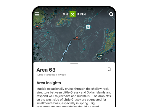
State-Sponsored Land Access Programs
dots — participating property. Green triangles — access points. Diagonal red lines — off-limits area
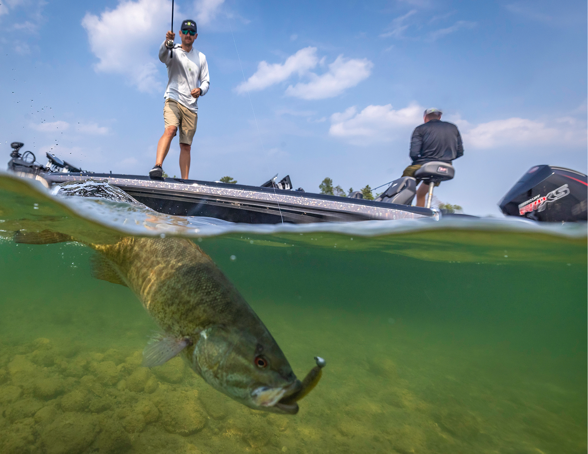
Use the form below to search onX Fish
Use the form below to search onX Fish
dots — participating property. Green triangles — access points. Diagonal red lines — off-limits area
Lands layer shows property owned by private individuals or corporations. Never cross onto private property without express
directional indicator. Lines and Area Shapes Measure distances and areas from the Tools menu. Select Line or Area Shape, then
Saving a private land property to a Folder in onX Hunt creates an Area outlining that property and adds it to your saved
IMPORTANT NOTE: onX Hunt Chips are no longer available for purchase as of Dec 31, 2022. Montana, Wyoming, and Colorado were
If you're getting an error when trying to import a file into the onX Hunt Web Map, or your file uploaded successfully but
If you want to use the onX Hunt App in areas without cell service, download Offline Maps before you head out. Offline Maps
Markup's Options. Edit: change a Markup's colors, Line style, Line weight, and Waypoint icon. Add to folder: add a Markup
If your Waypoints, Lines, Tracks, Shapes, or Routes are missing in the onX Hunt App or Web Map, don't worry—your content
photo or upload one from your library. Lines, Tracks, and Routes also include: Line Color: change the color. Style:
and make decisions in the field. It includes: Private property boundaries and owner information. Government land boundaries
The Government Lands layer shows property owned or managed by government agencies—including the US Forest Service, Bureau
owners Tap or click inside a property boundary to view the owner's name, property size, and tax address (if available)
you look up an individual property owner, timber company, NGO, ranch, or other private property, and filter results by acreage
Trails layer shows hiking trails as black and white dashed lines. The trail name or number is displayed along the trail.
— beige borders and diagonal lines. Thinning — green borders and diagonal lines.
map error in onX Hunt. How accurate are parcel boundaries? Property boundaries are typically accurate within 20 feet, depending
highways as dark yellow lines, state highways as light yellow lines, side streets as solid white lines, two-track and 4x4 trails
Dark yellow line — interstate highway. Light yellow line — state highway. Solid grey line — side street
find areas to hunt. Keep in mind that government-owned properties aren't always publicly accessible and may be subject to
township, and range labels appear as grey dashed or solid lines and text on your map. Symbol Meaning
Markups with: Colors. Line styles and weights. Waypoint photos. Waypoint icons. Draw a line and measure distance by
Go-To-Waypoint draws a straight line—measured as the crow flies—from your current location to a selected Waypoint on your
Hunting Units Land Data (government land) Private Parcel lines (where available) Recreation Sites Historic Wildfires
features like live GPS location, satellite imagery, Waypoints, Lines, Shapes, and the Tracker are available globally. However,
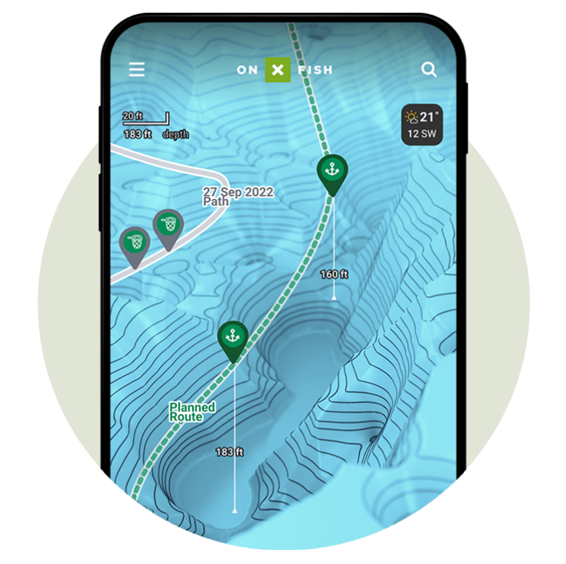
See fishing water in a new way with 3D Lake Maps in onX Fish. Visualize lake structure, depth changes, terrain, points, drop-offs, and access before your next trip.
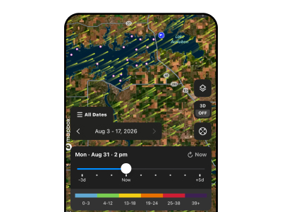
The fishing wind app feature in onX Fish helps track wind direction on lakes, find windblown structure, understand fish movement, and fish smarter.
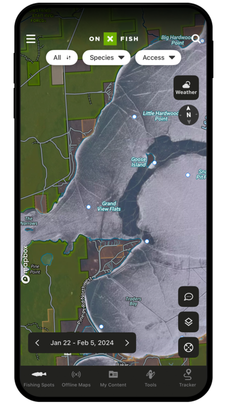
Maximize fishing success with onX Fish. Use Recent Imagery to find ice-up areas, avoid pressured zones, and locate undisturbed spots. Try for free now.