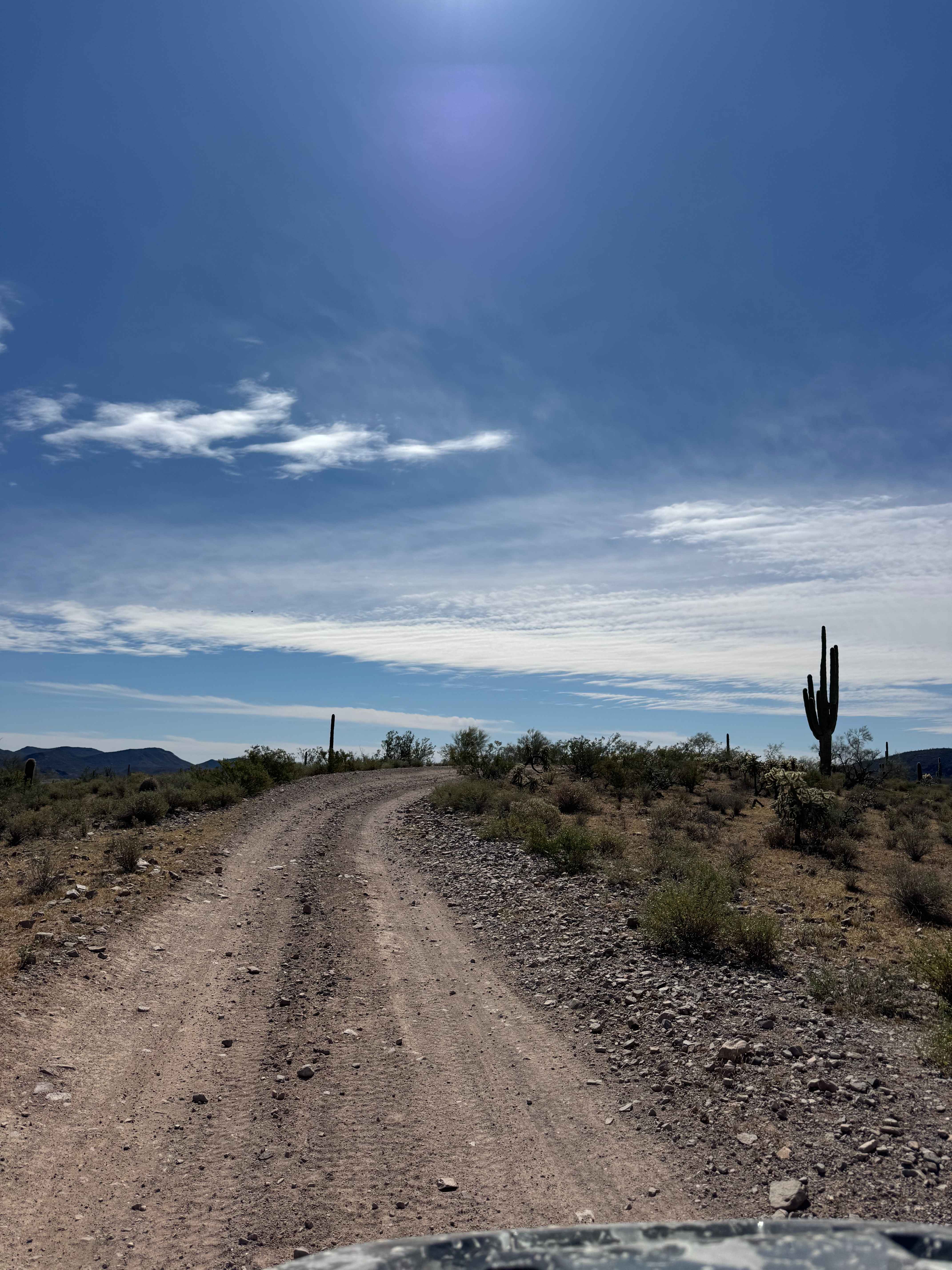
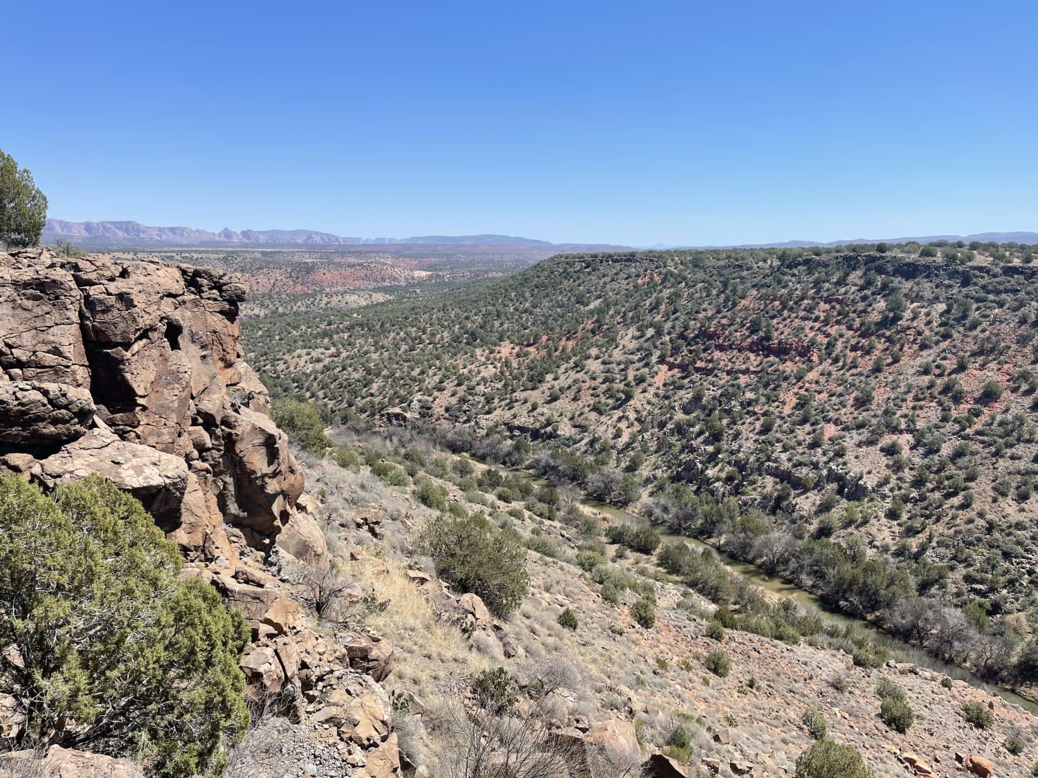
Off-Road Trails in Arizona
Discover off-road trails in Arizona
Learn more about Hart Mine - EC1092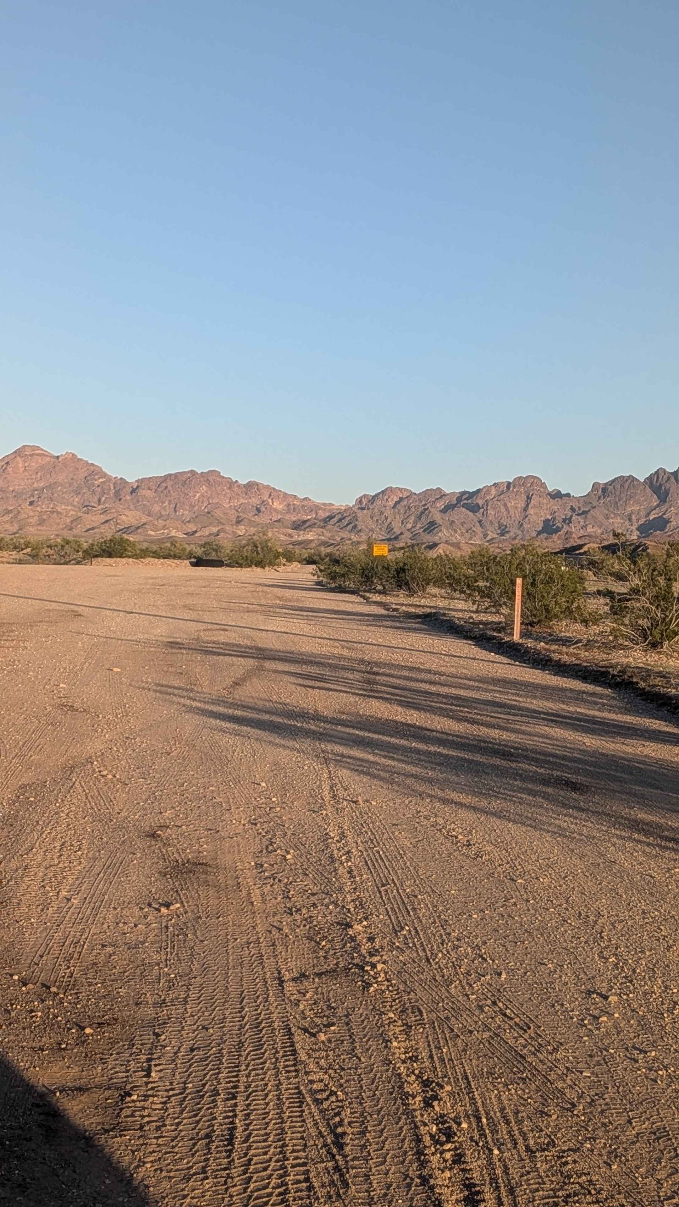
Hart Mine - EC1092
Total Miles
3.4
Tech Rating
Easy
Best Time
Fall, Winter, Spring
Learn more about Hartman Homestead Cutover
Hartman Homestead Cutover
Total Miles
1.5
Tech Rating
Easy
Best Time
Spring, Fall, Winter
Learn more about Hartman Wash/Hartman Homestead
Hartman Wash/Hartman Homestead
Total Miles
6.2
Tech Rating
Moderate
Best Time
Spring, Fall, Winter
Learn more about Hassayampa Creek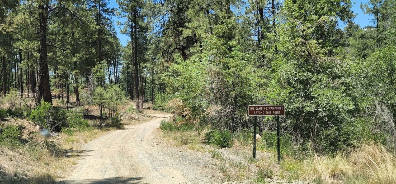
Hassayampa Creek
Total Miles
0.8
Tech Rating
Easy
Best Time
Spring, Summer, Fall
Learn more about Hassayampa River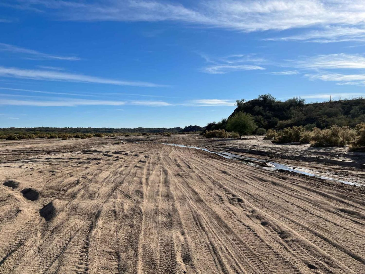
Hassayampa River
Total Miles
5.8
Tech Rating
Easy
Best Time
Spring, Fall, Winter
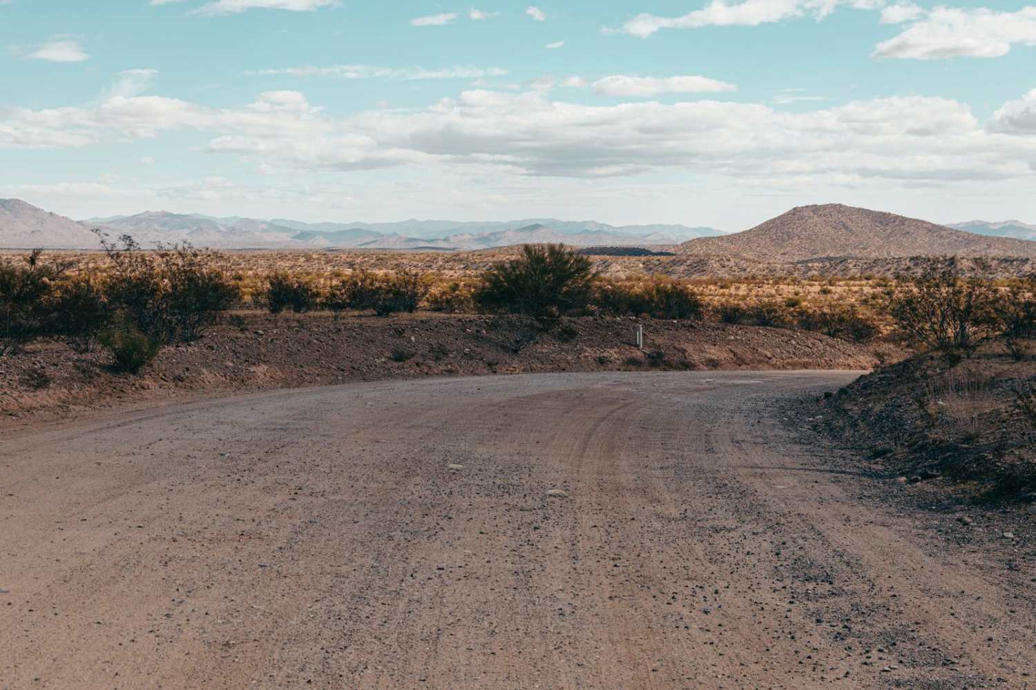
Learn more about Havasu Heights to Stagecoach Ranch Trails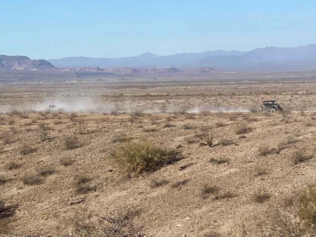
Havasu Heights to Stagecoach Ranch Trails
Total Miles
18.5
Tech Rating
Easy
Best Time
Spring, Fall, Winter
Learn more about Hawk Hills Canyon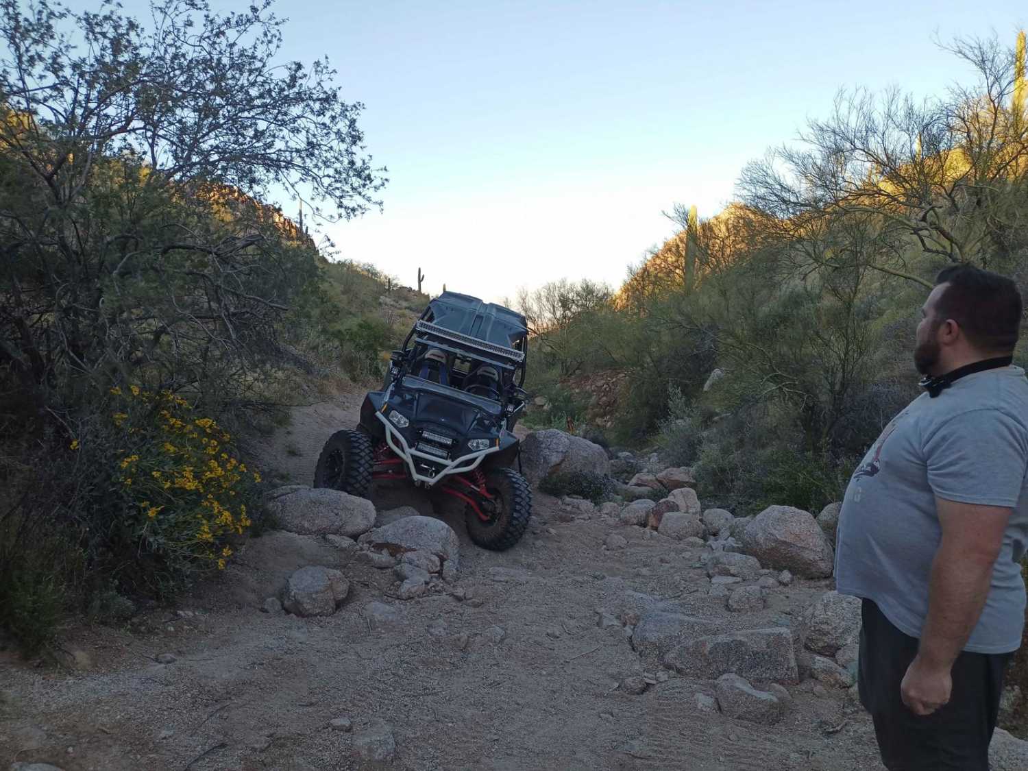
Hawk Hills Canyon
Total Miles
1.5
Tech Rating
Difficult
Best Time
Spring, Summer, Fall, Winter
Learn more about Hawk Hills Northern Hilltop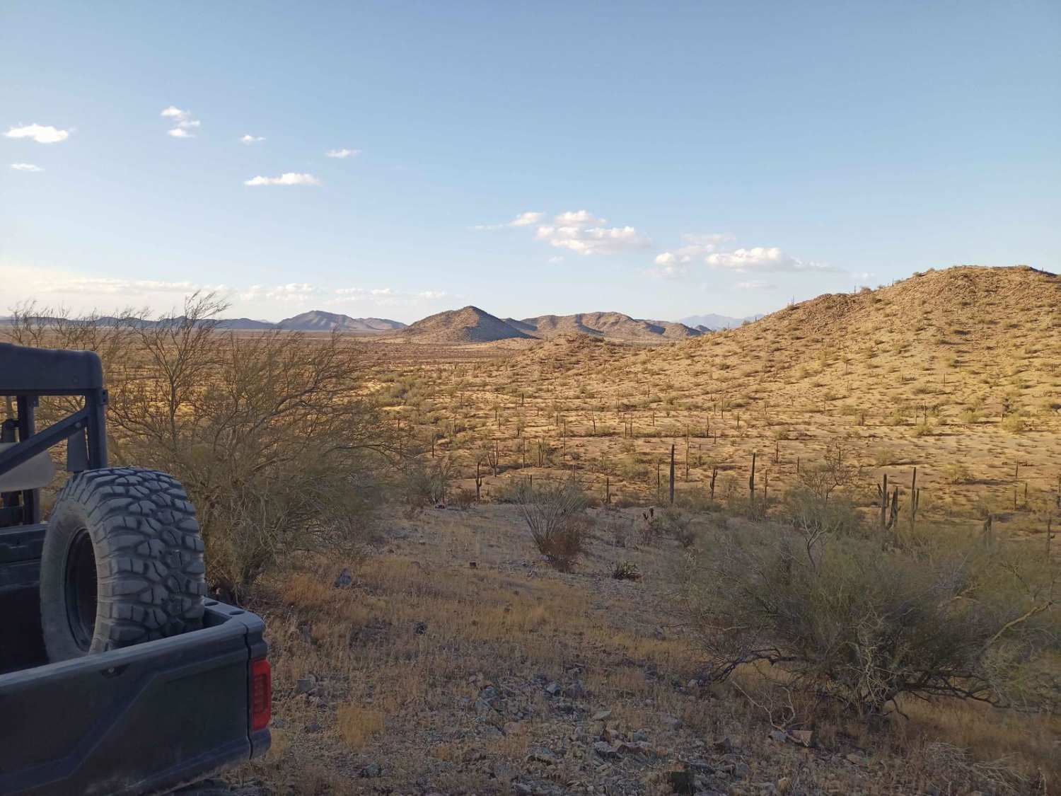
Hawk Hills Northern Hilltop
Total Miles
1.0
Tech Rating
Moderate
Best Time
Spring, Summer, Fall, Winter
Learn more about Haystack Rock and Roll
Haystack Rock and Roll
Total Miles
5.9
Tech Rating
Moderate
Best Time
Spring, Summer, Fall
Learn more about Head for Lunch Trail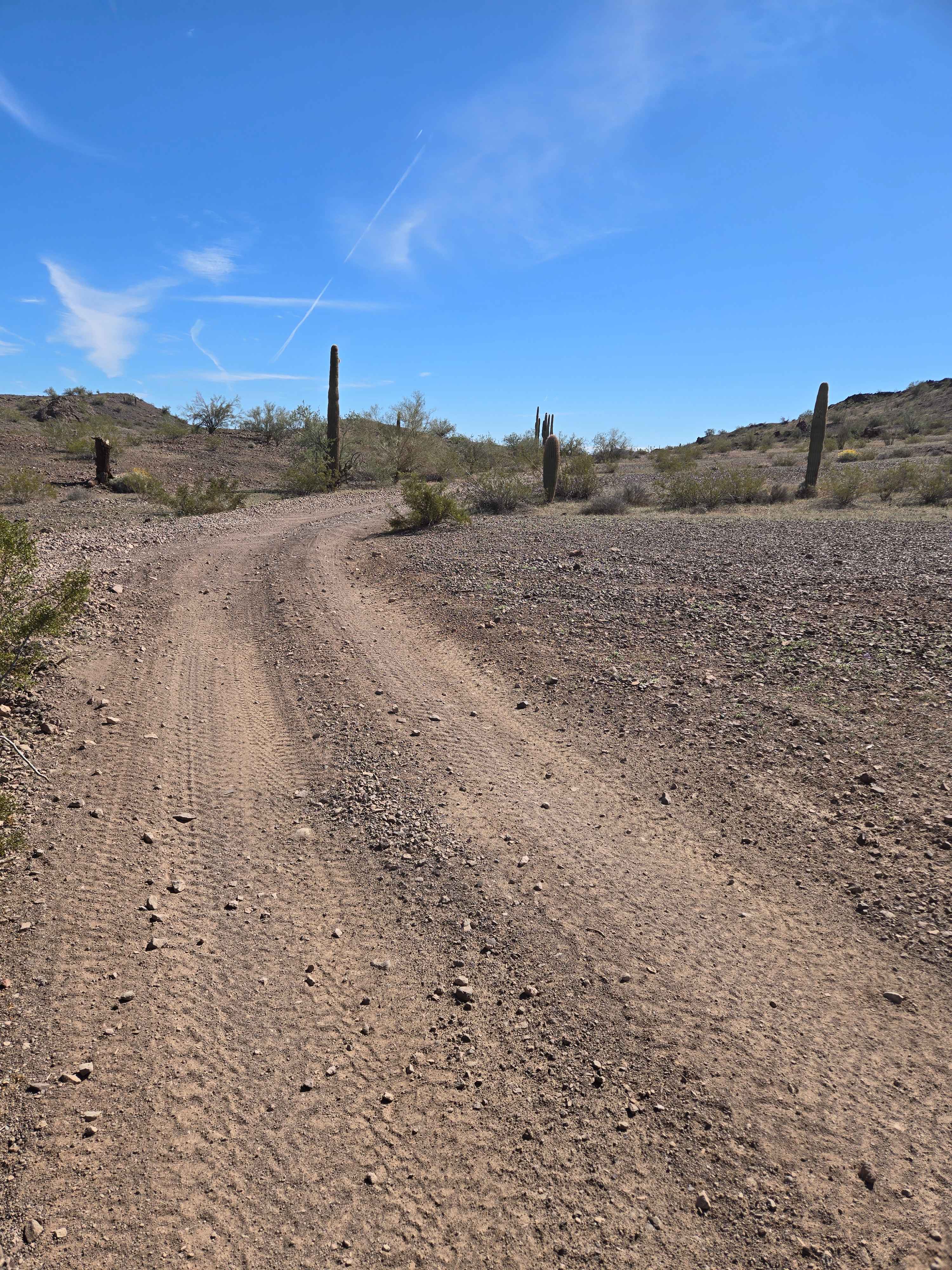
Head for Lunch Trail
Total Miles
2.8
Tech Rating
Easy
Best Time
Spring, Summer, Fall, Winter
Learn more about Heart Prairie 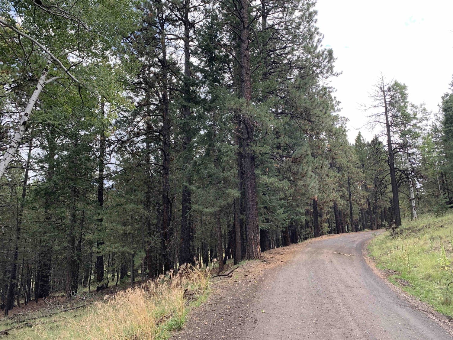
Heart Prairie
Total Miles
7.5
Tech Rating
Easy
Best Time
Spring, Summer, Fall
Learn more about Heavenly Pass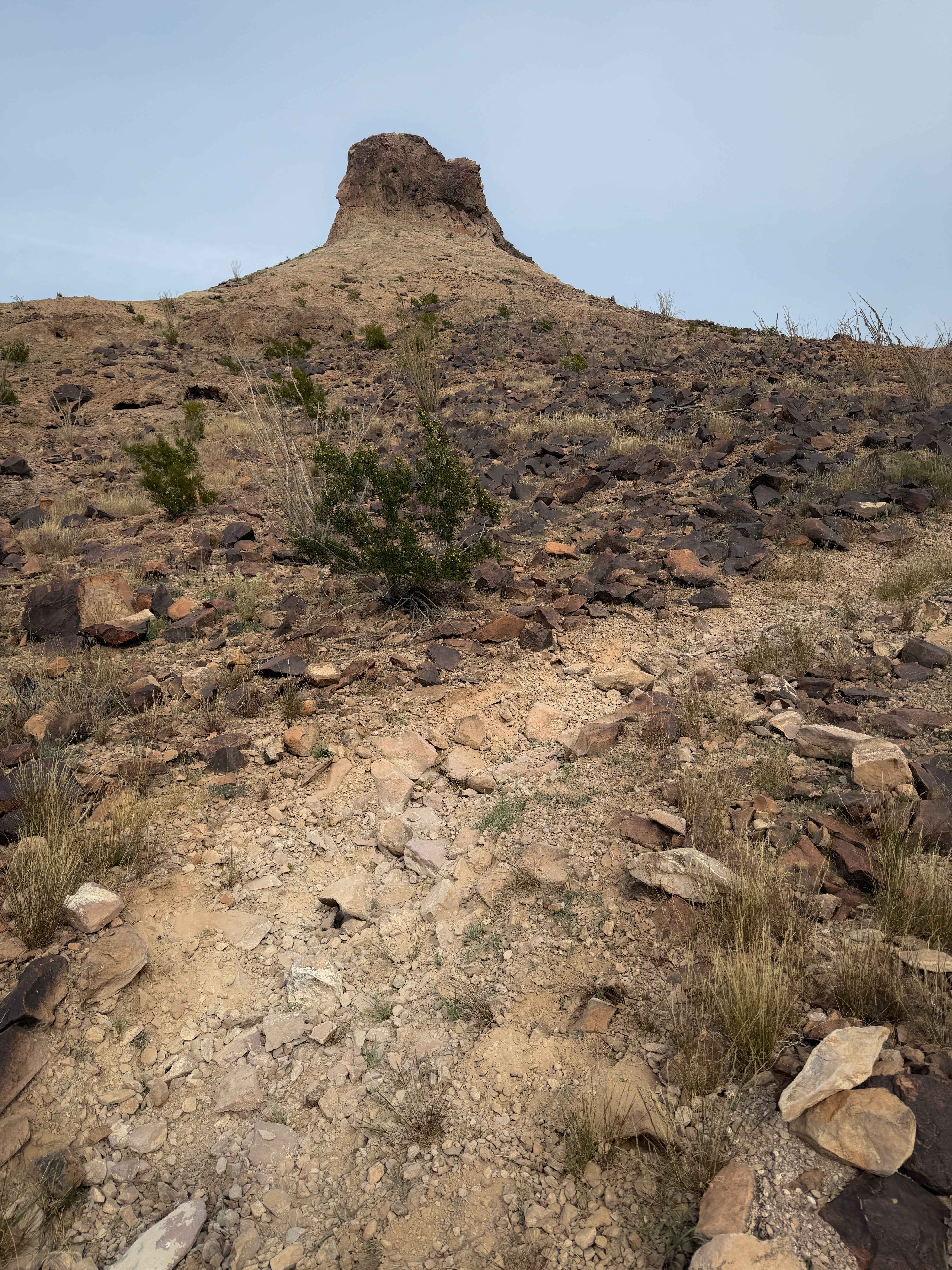
Heavenly Pass
Total Miles
0.3
Tech Rating
Moderate
Best Time
Winter, Spring, Fall
Learn more about Heifer Hills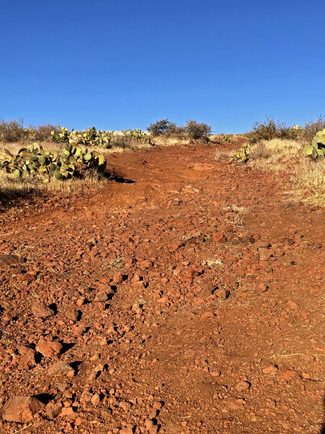
Heifer Hills
Total Miles
6.9
Tech Rating
Easy
Best Time
Spring, Summer, Fall, Winter
Learn more about Helix Hill Climb
Helix Hill Climb
Total Miles
0.5
Tech Rating
Difficult
Best Time
Spring, Fall, Summer, Winter
Learn more about Hellgate Spring Trail
Hellgate Spring Trail
Total Miles
2.0
Tech Rating
Easy
Best Time
Spring, Summer, Fall, Winter
Learn more about Hellgate Wilderness Trail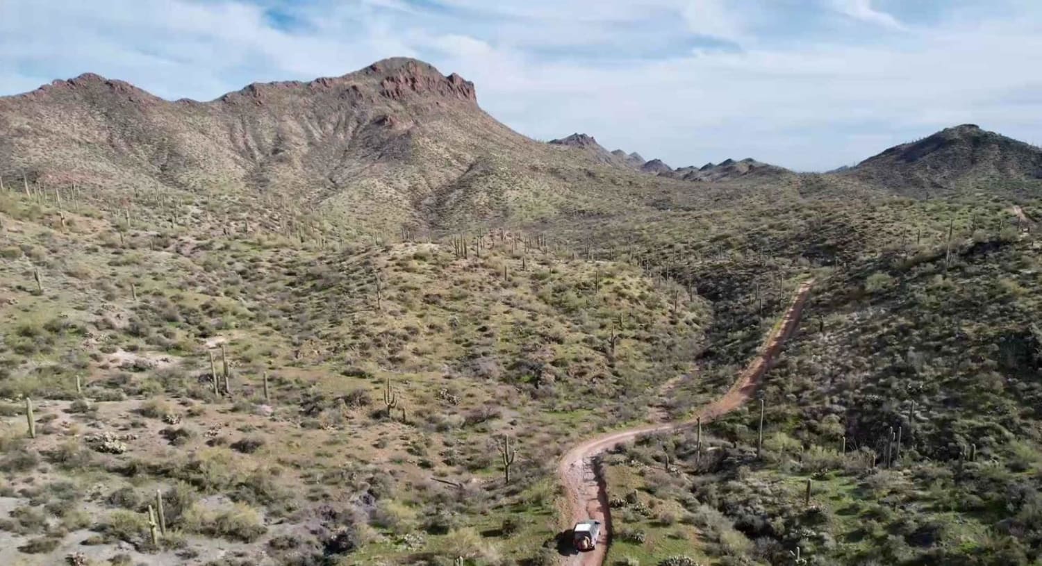
Hellgate Wilderness Trail
Total Miles
12.3
Tech Rating
Moderate
Best Time
Spring, Fall, Winter
ATV trails in Arizona
Learn more about Scrub Oak Bypass 
Scrub Oak Bypass
Total Miles
0.5
Tech Rating
Easy
Best Time
Spring, Summer, Fall


UTV/side-by-side trails in Arizona
Learn more about Scrub Oak Bypass
Scrub Oak Bypass
Total Miles
0.5
Tech Rating
Easy
Best Time
Spring, Summer, Fall
The onX Offroad Difference
onX Offroad combines trail photos, descriptions, difficulty ratings, width restrictions, seasonality, and more in a user-friendly interface. Available on all devices, with offline access and full compatibility with CarPlay and Android Auto. Discover what you’re missing today!