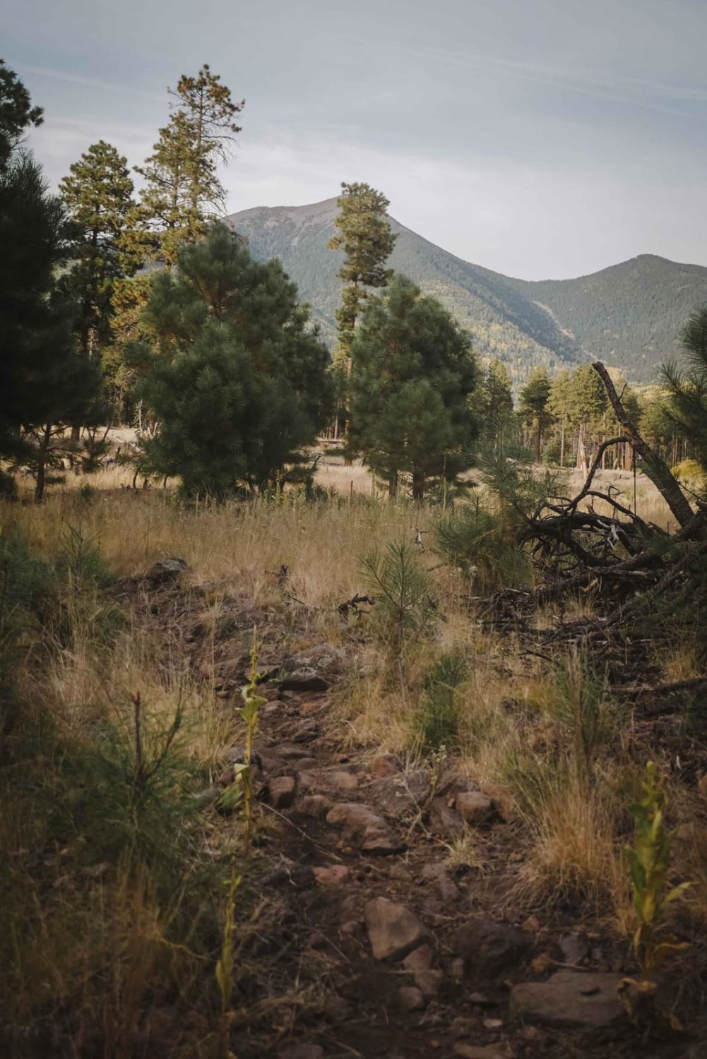
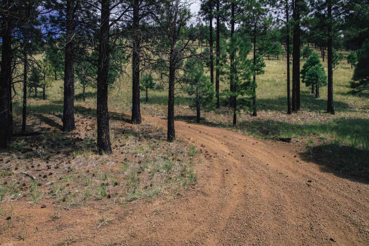
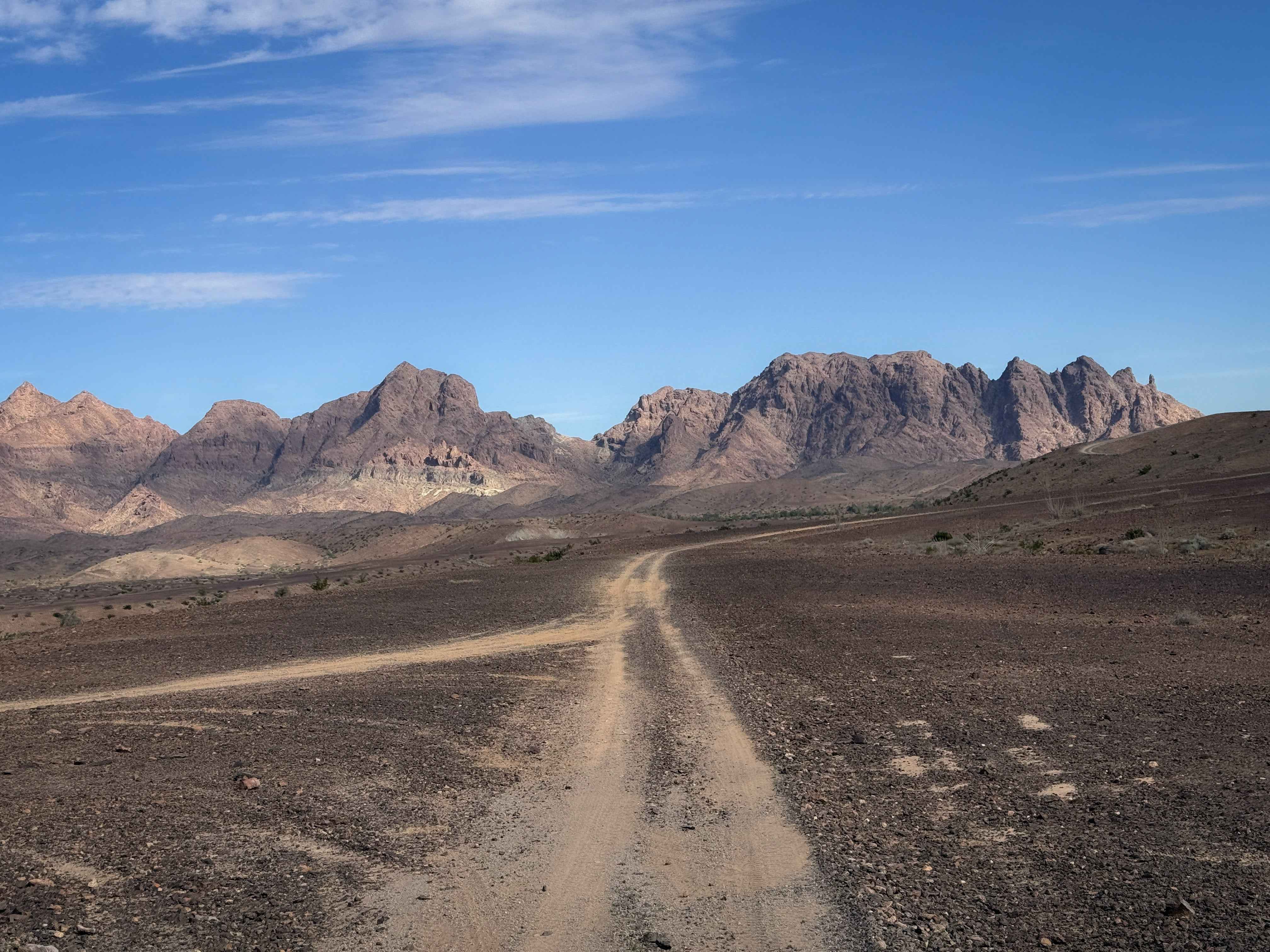
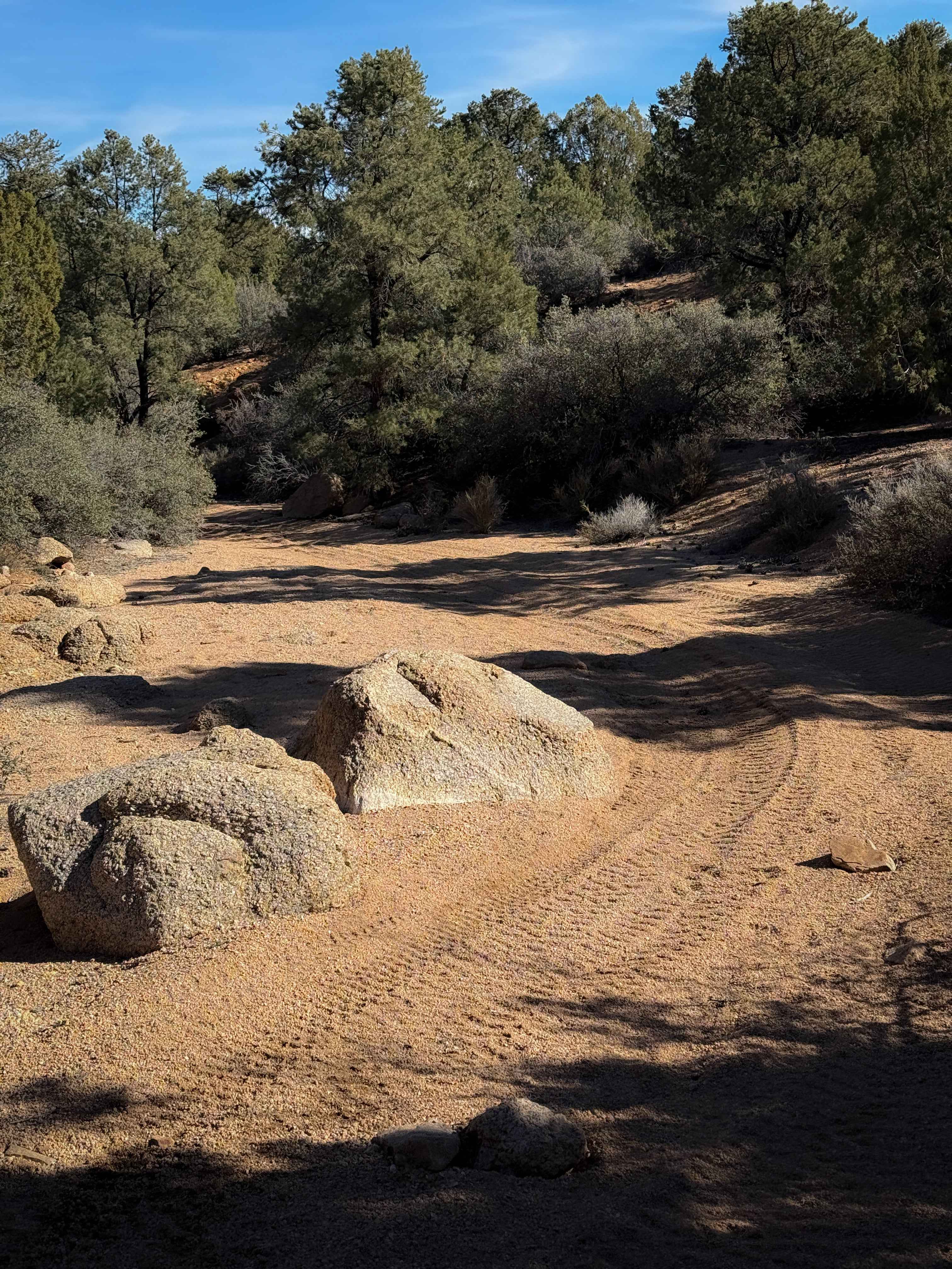
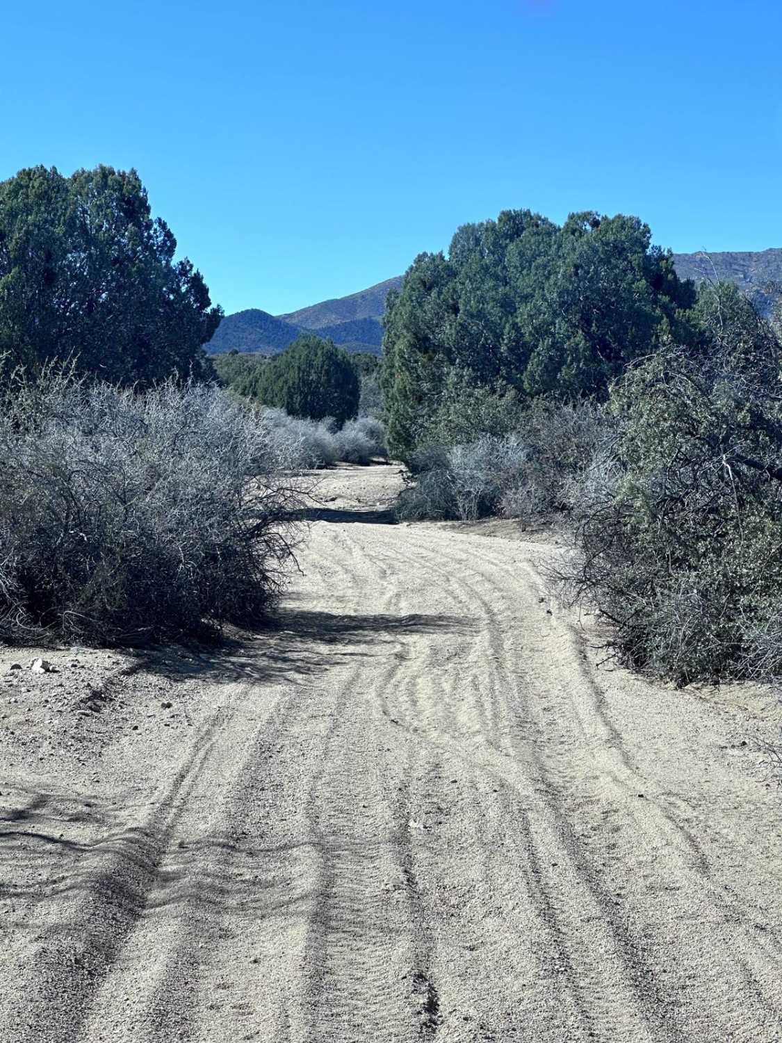
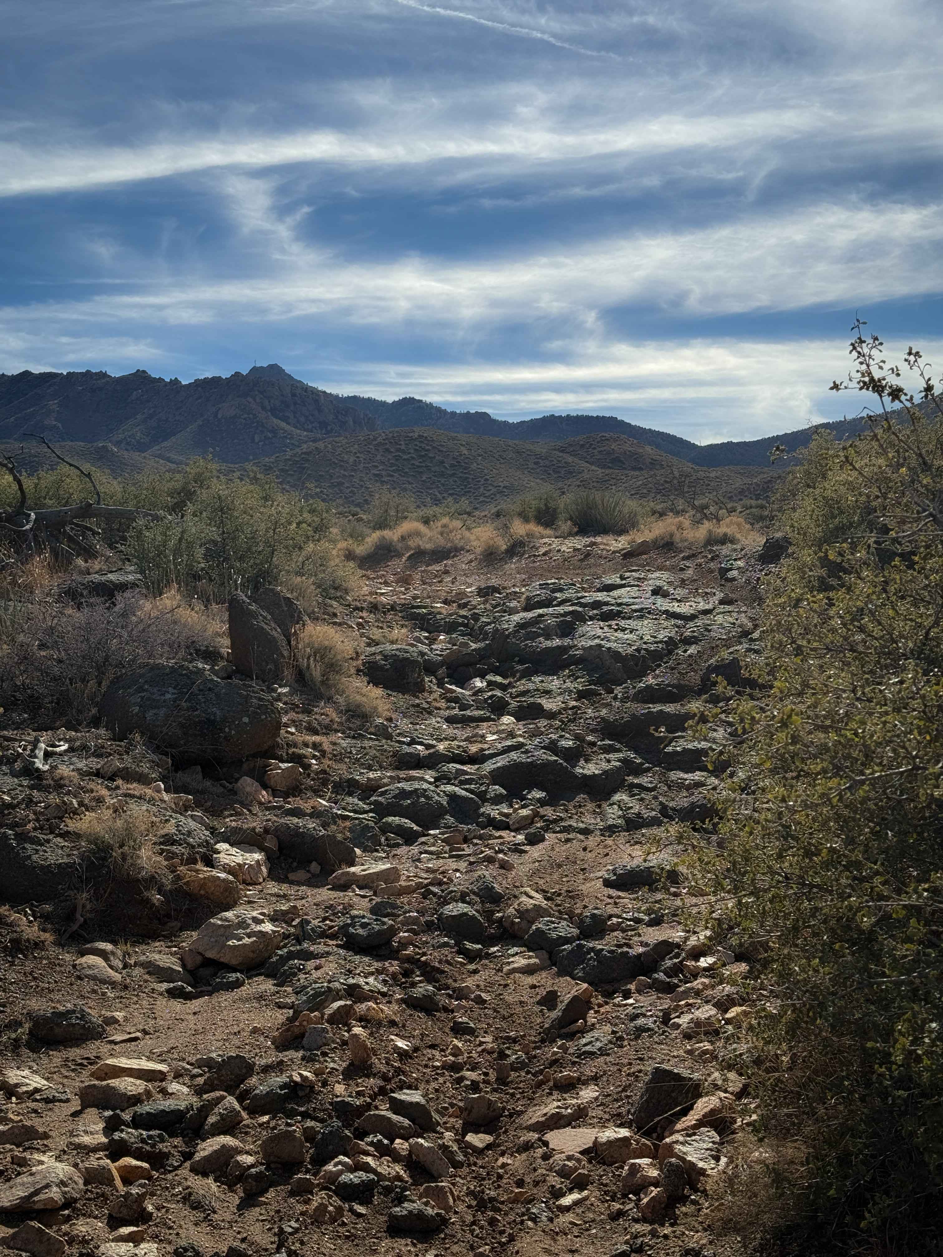
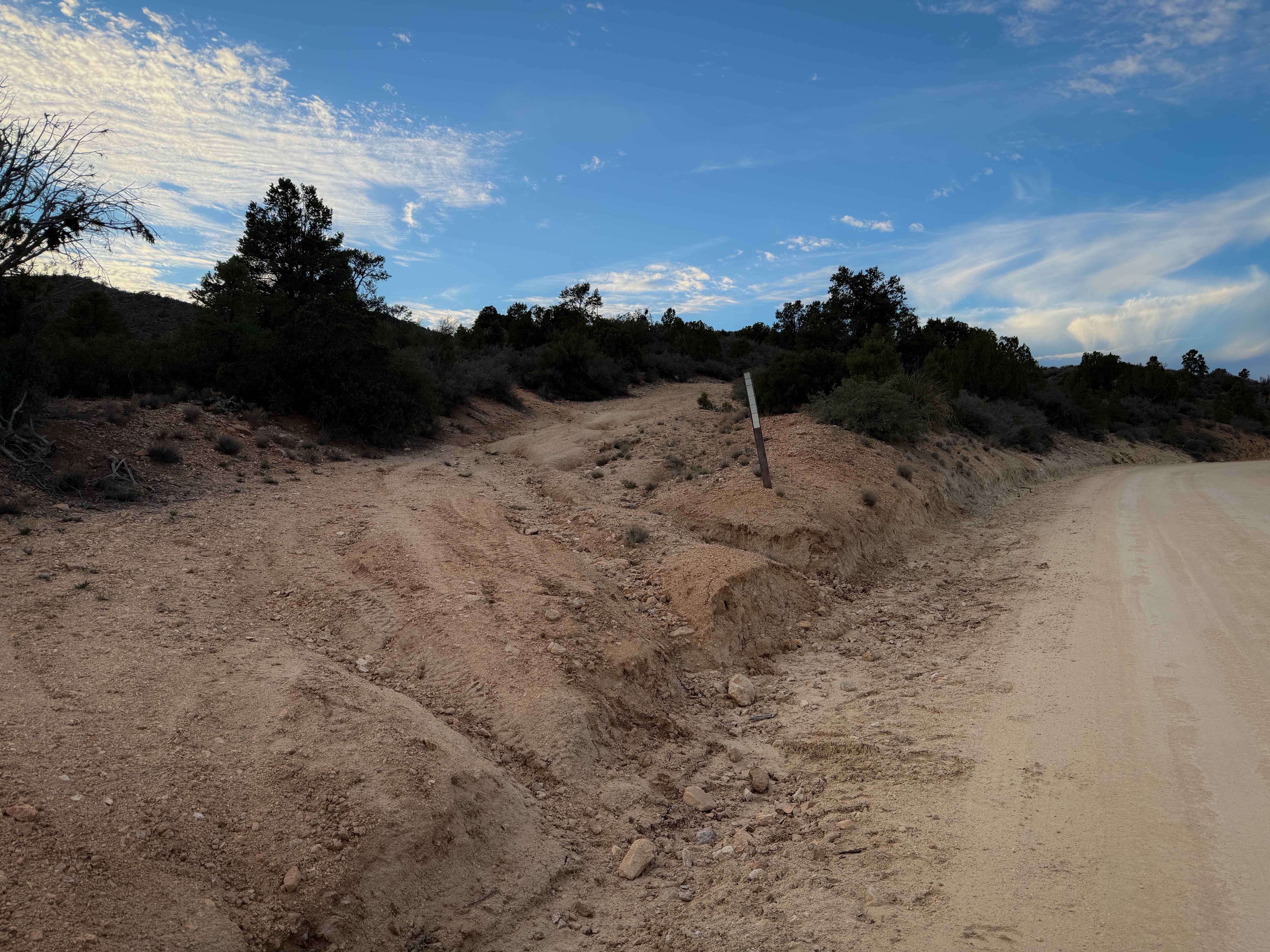
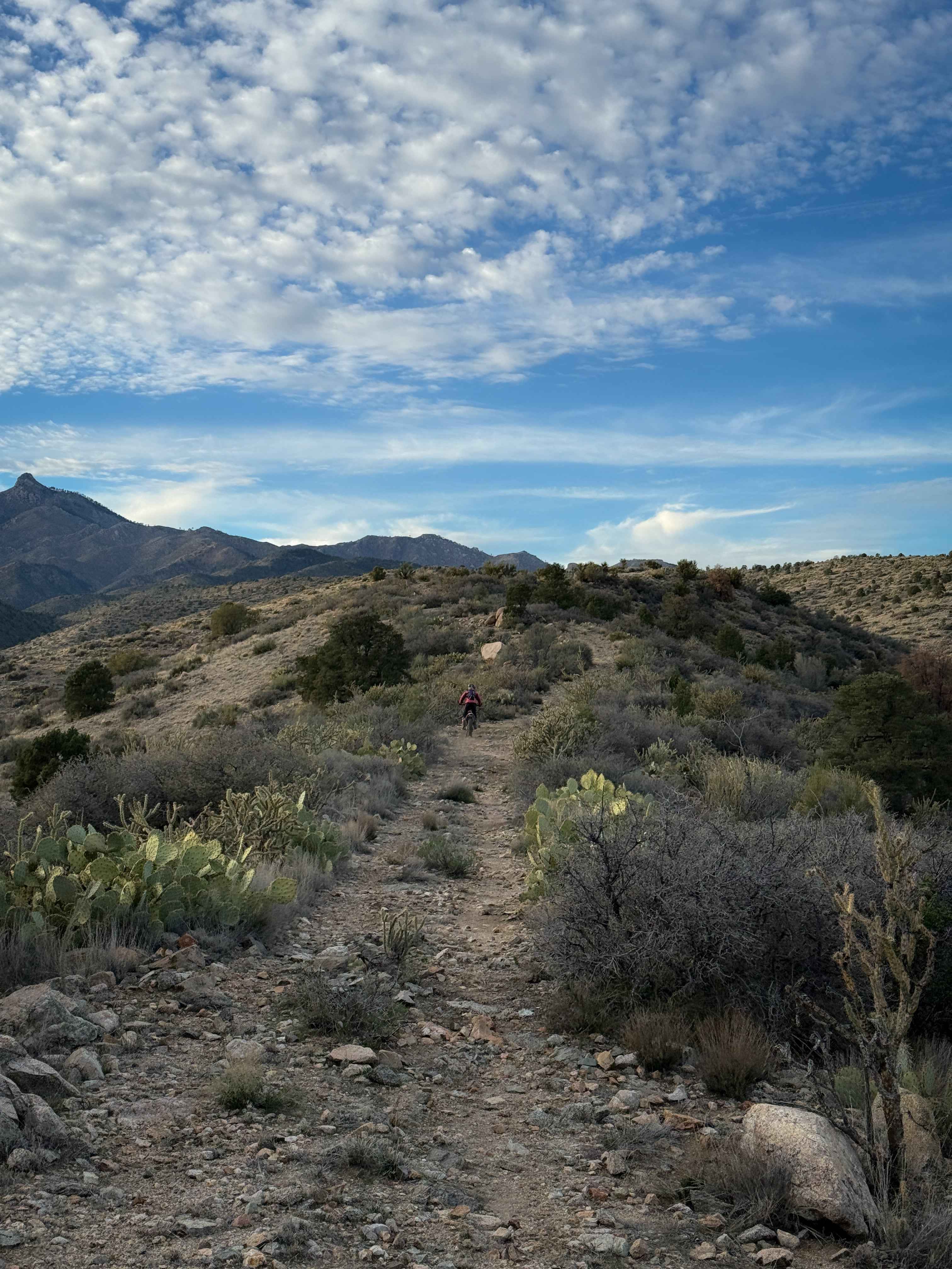
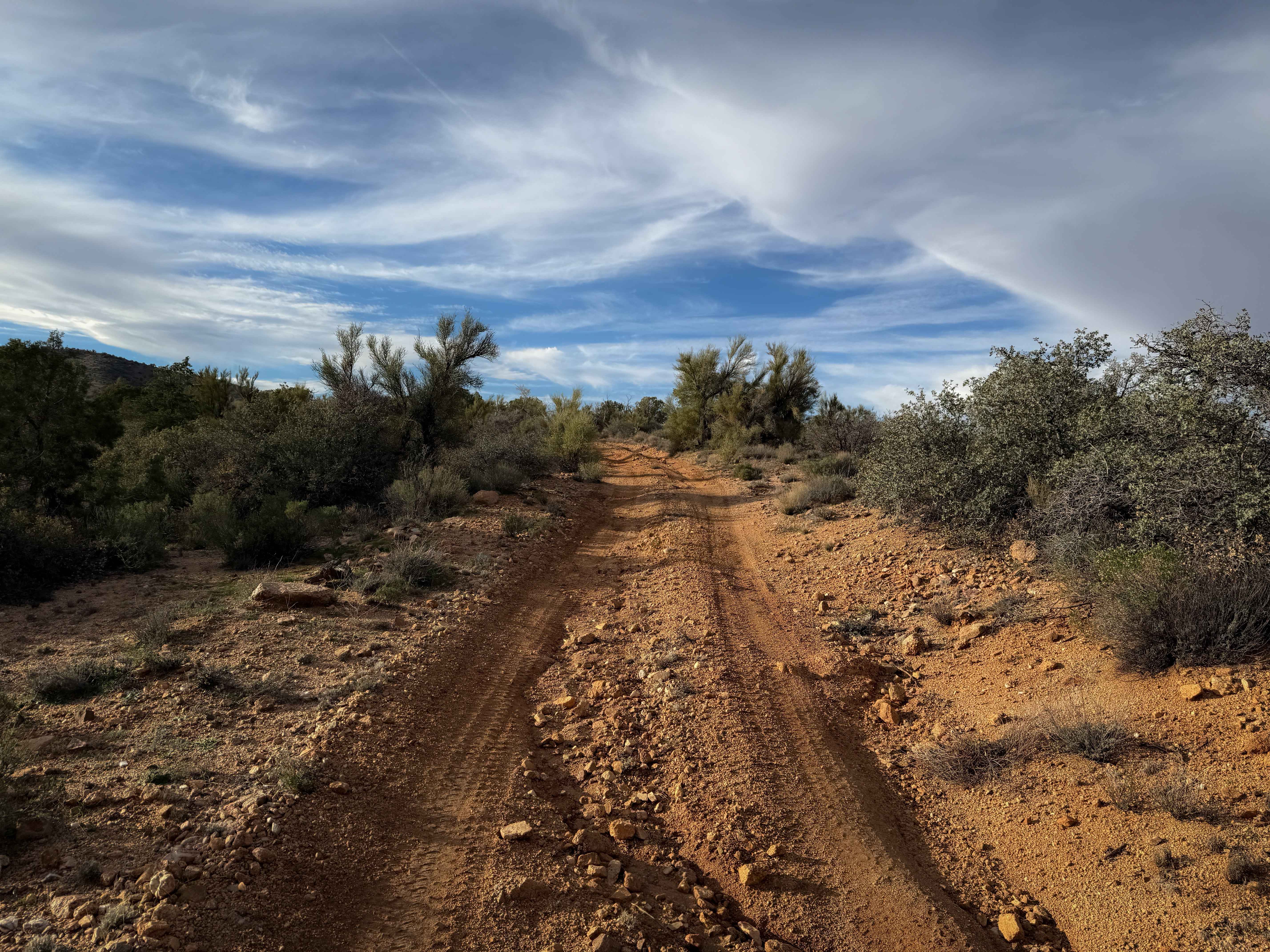
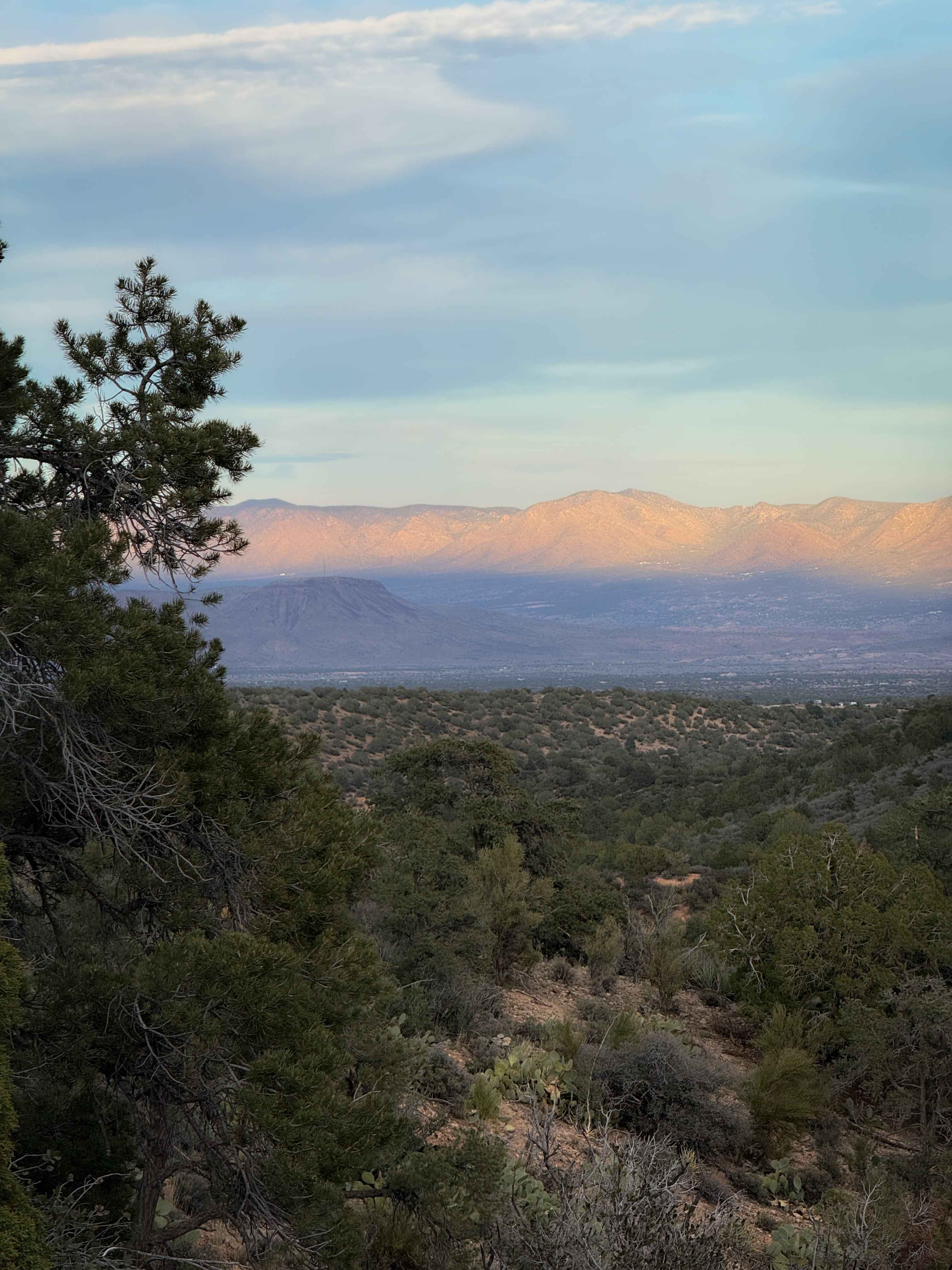
Off-Road Trails in Arizona
Discover off-road trails in Arizona
Learn more about Grumble Wells Road
Grumble Wells Road
Total Miles
6.3
Tech Rating
Easy
Best Time
Spring, Summer, Fall, Winter
Learn more about Guijas Loop Road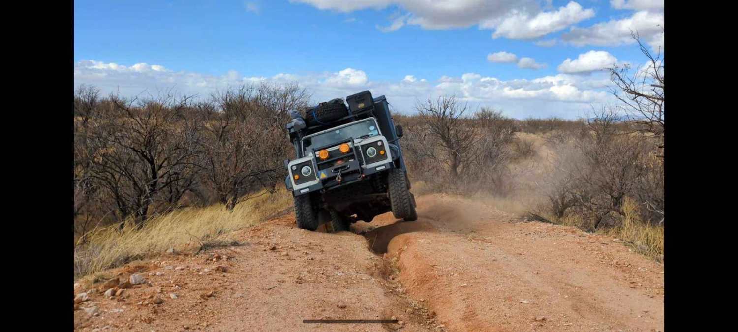
Guijas Loop Road
Total Miles
3.5
Tech Rating
Moderate
Best Time
Spring, Winter, Fall
Learn more about Gunsight Canyon Overlook -BLM179-180
Gunsight Canyon Overlook -BLM179-180
Total Miles
2.0
Tech Rating
Easy
Best Time
Spring, Summer, Fall, Winter
Learn more about Gunsight Point Road - BLM1048-BLM164
Gunsight Point Road - BLM1048-BLM164
Total Miles
16.4
Tech Rating
Easy
Best Time
Spring, Summer, Fall, Winter
Learn more about Gunsight Tank Trail - BLM183
Gunsight Tank Trail - BLM183
Total Miles
2.0
Tech Rating
Easy
Best Time
Spring, Summer, Fall, Winter

Learn more about H1332/BLM 7226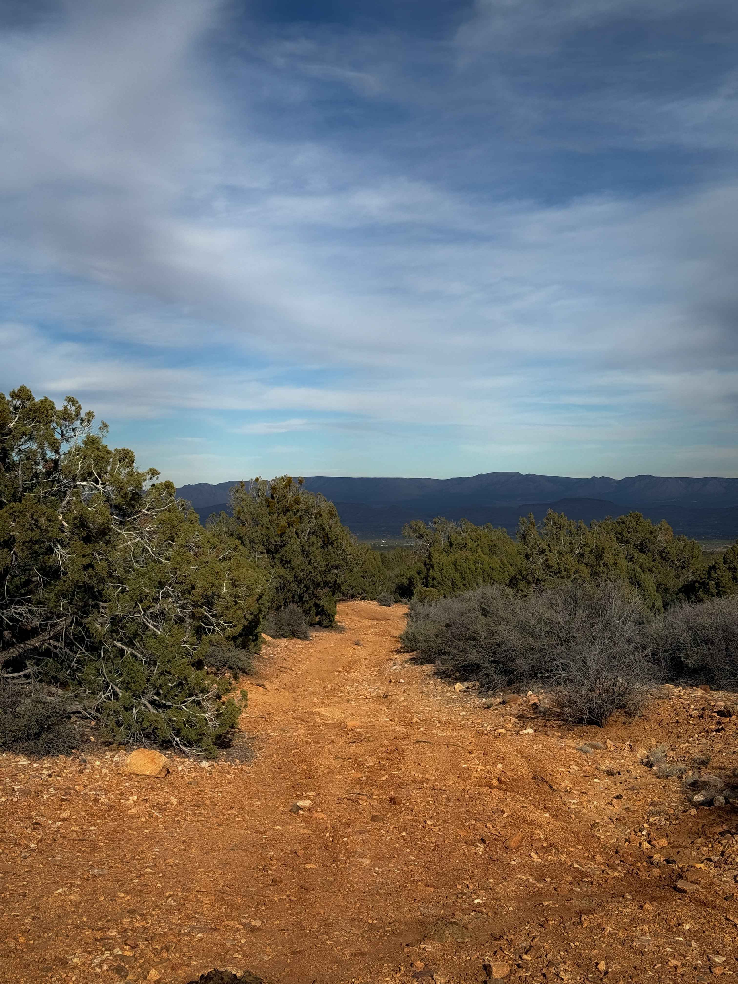
H1332/BLM 7226
Total Miles
0.9
Tech Rating
Easy
Best Time
Spring, Fall, Winter
Learn more about H1335/BLM 7127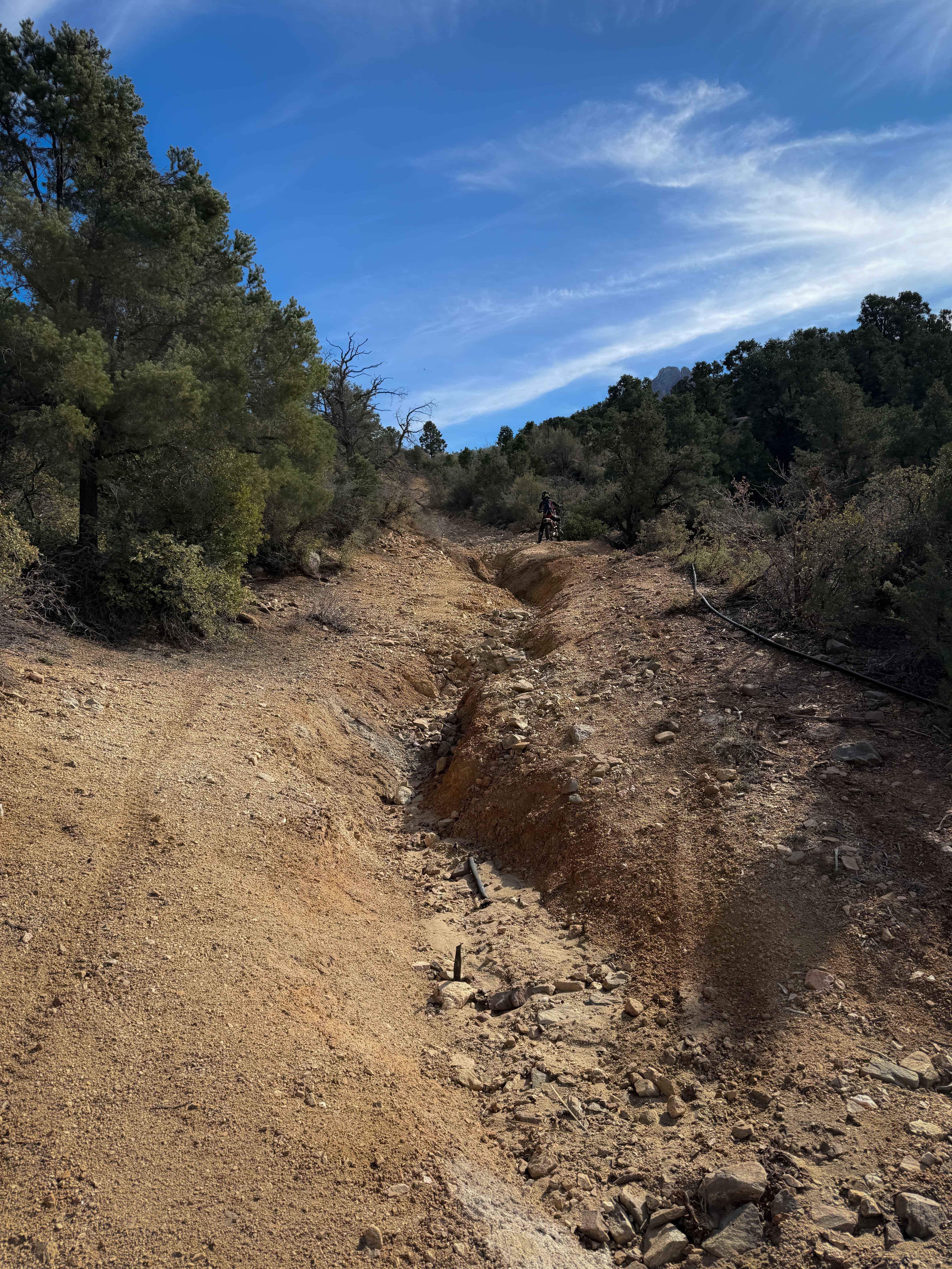
H1335/BLM 7127
Total Miles
1.2
Tech Rating
Moderate
Best Time
Spring, Fall, Winter
Learn more about Hack Canyon Trail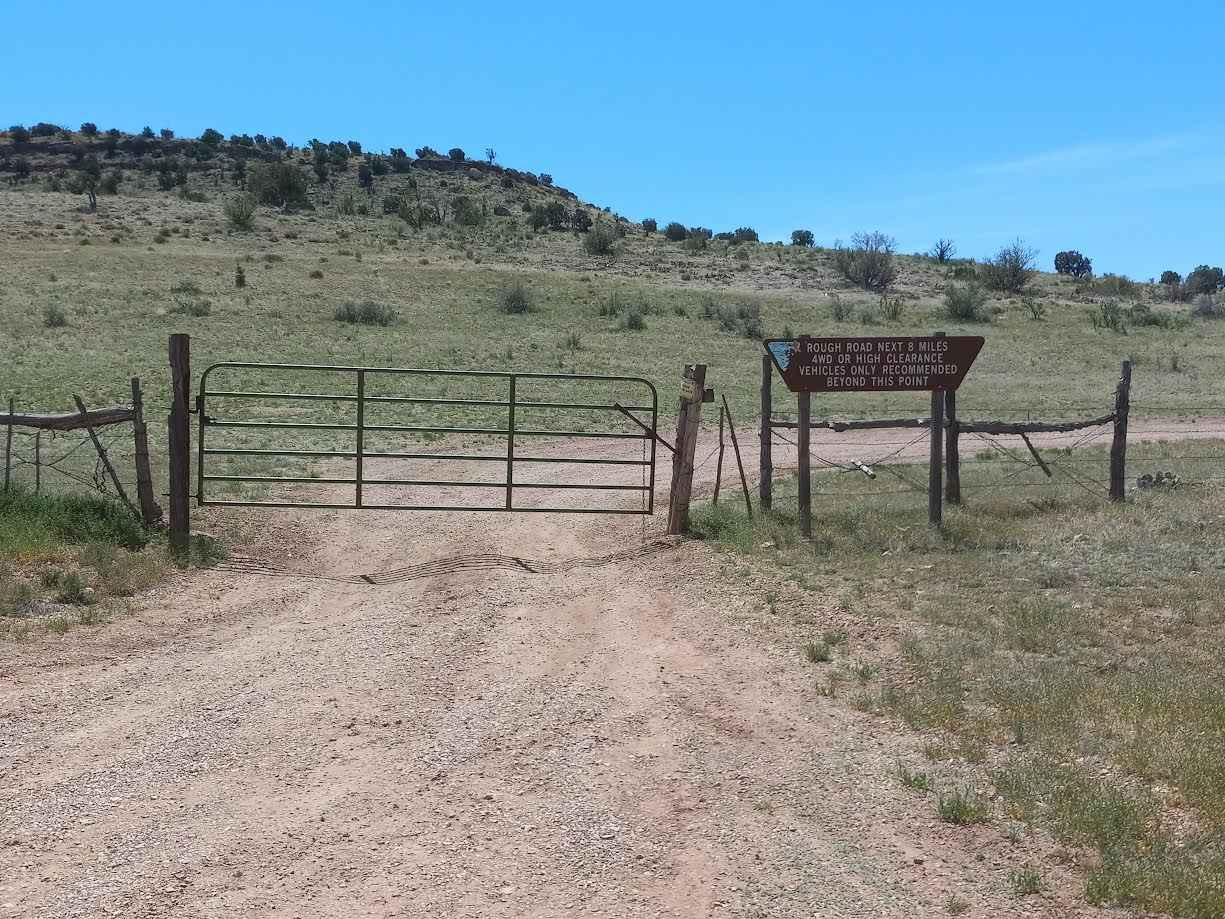
Hack Canyon Trail
Total Miles
9.7
Tech Rating
Easy
Best Time
Spring, Summer, Fall, Winter
ATV trails in Arizona
Learn more about Scrub Oak Bypass 
Scrub Oak Bypass
Total Miles
0.5
Tech Rating
Easy
Best Time
Spring, Summer, Fall


UTV/side-by-side trails in Arizona
Learn more about Scrub Oak Bypass
Scrub Oak Bypass
Total Miles
0.5
Tech Rating
Easy
Best Time
Spring, Summer, Fall
The onX Offroad Difference
onX Offroad combines trail photos, descriptions, difficulty ratings, width restrictions, seasonality, and more in a user-friendly interface. Available on all devices, with offline access and full compatibility with CarPlay and Android Auto. Discover what you’re missing today!