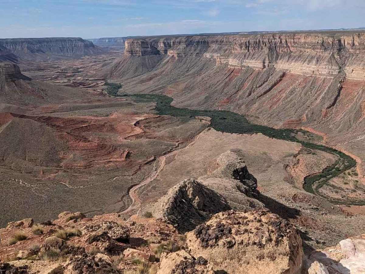
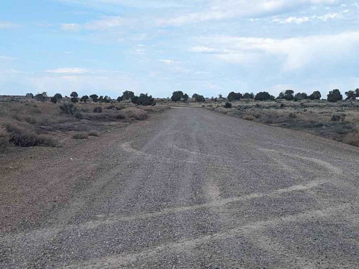
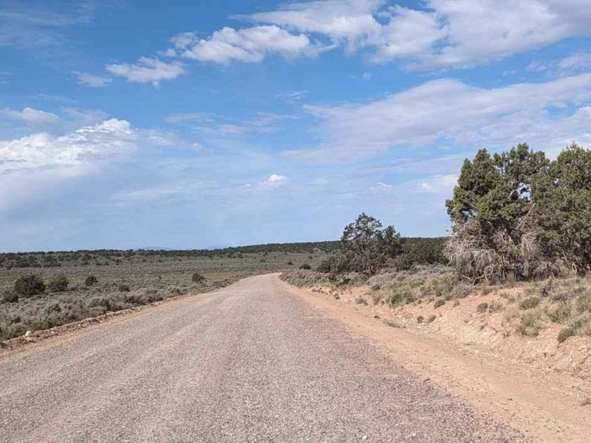
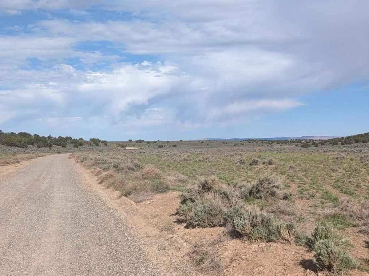
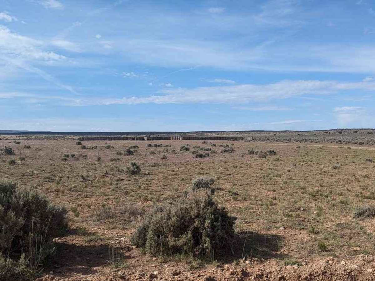
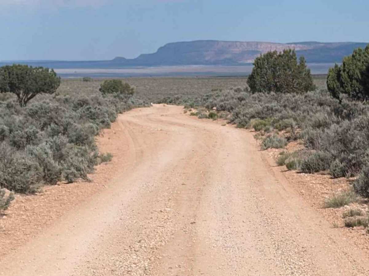
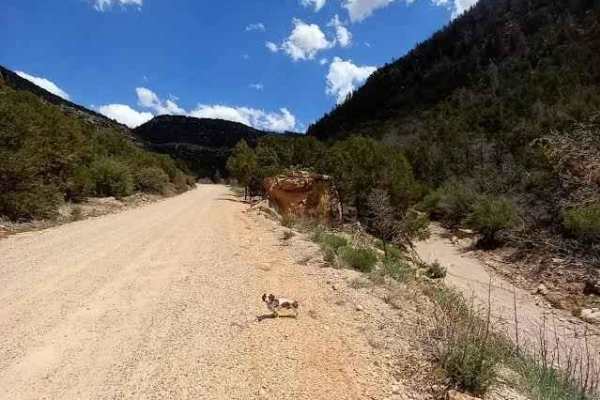
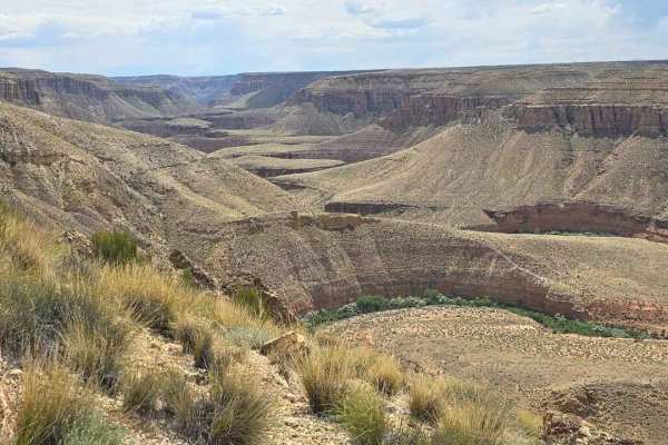
Trail Overview
Gunsight Point Road is a 16.4-mile out-and-back (33-mile round trip) trail rated 3 of 10 located in Arizona's Coconino County. Gunsight Point Road is the primary trail across the plateau. The road starts out as a graded Class B country road but after a while becomes a bit rougher giving it a 3 rating. This is a destination trail and is considered one of the better-kept secrets in the area. The plateau is quietly tucked away in the Arizona Strip between Fredonia and Lee's Ferry. The plateau is elevated and protrudes south giving amazing views of the canyons below. The Kanab Creek Wilderness Area lies to the west while the Snake Gulch Wilderness Area forms the east side of the plateau. Both creeks are over 1000 feet below the cliff edge. There are multiple trails extending both east and west from this main track. Most offer different views of one wilderness area or the other. The plateau above these areas is arid with sparse vegetation while the canyon bottoms are often gorgeous riparian zones. There is little shade on the plateau with only a couple of Juniper groves which can provide some shade. The drive takes about an hour from pavement to Gunsight Point, but it is worth the drive offering some scenic views of the canyons along the way. The return trip offers views of the Kanab Cliffs and the peaks of Zion National Park. Surprisingly, cell phone service is intermittent along the route. The nearest services are located in Fredonia.