H1335/BLM 7127
Total Miles
1.2
Technical Rating
Best Time
Spring, Fall, Winter
Trail Type
50" Trail
Accessible By
Trail Overview
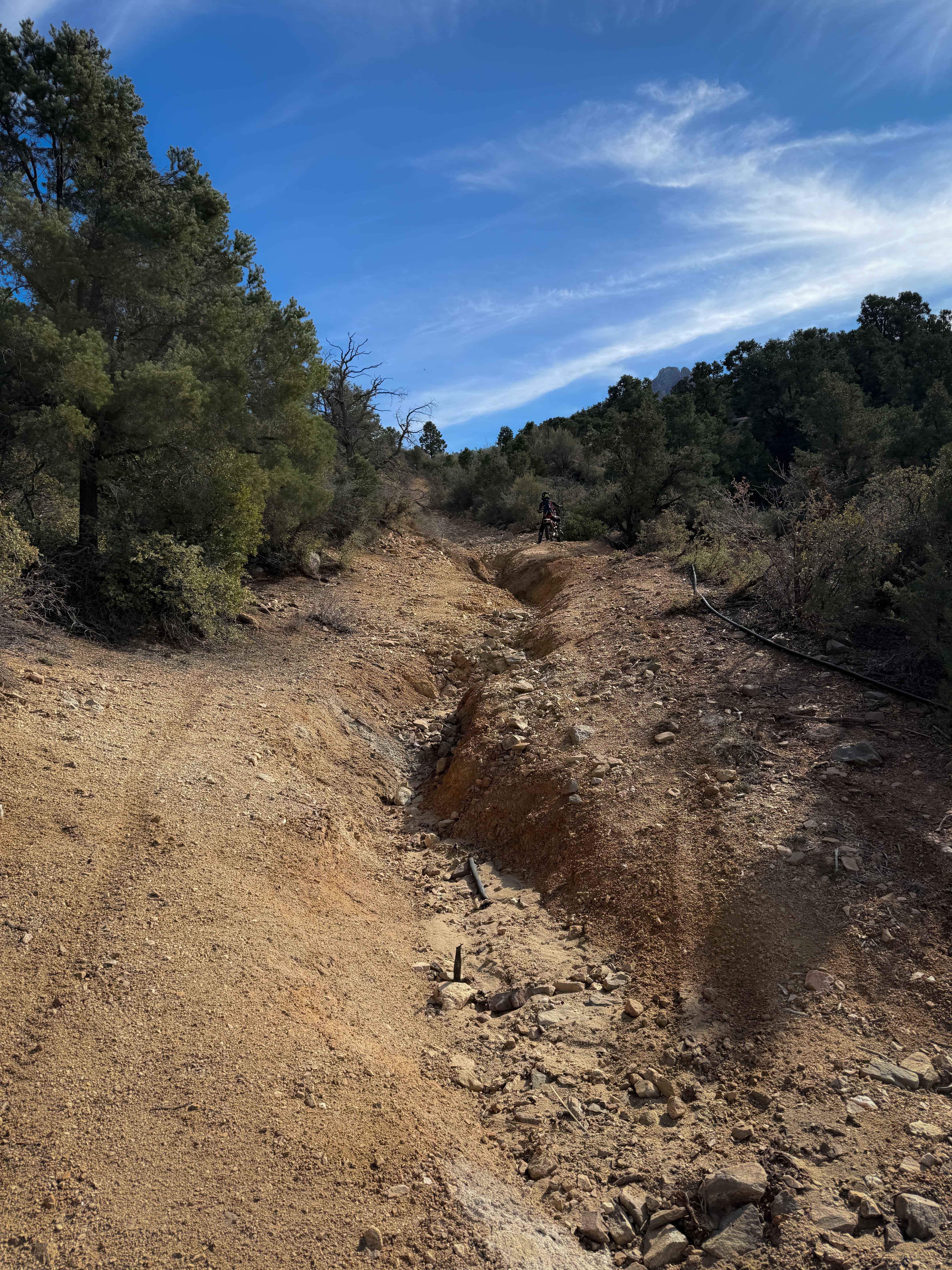
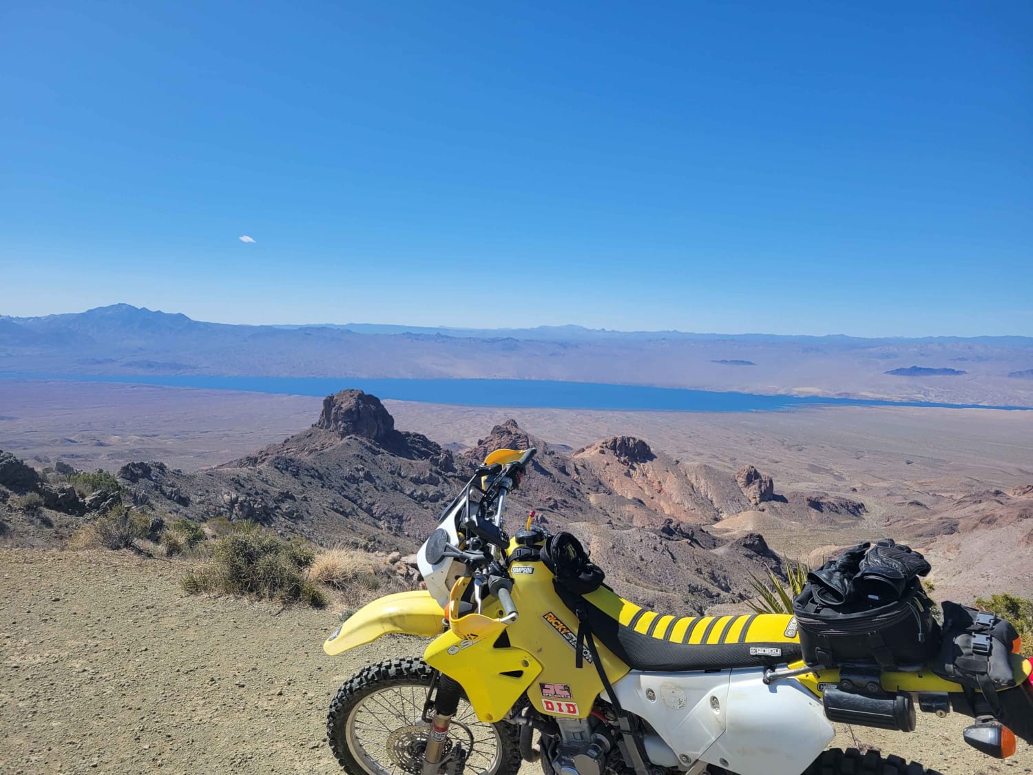
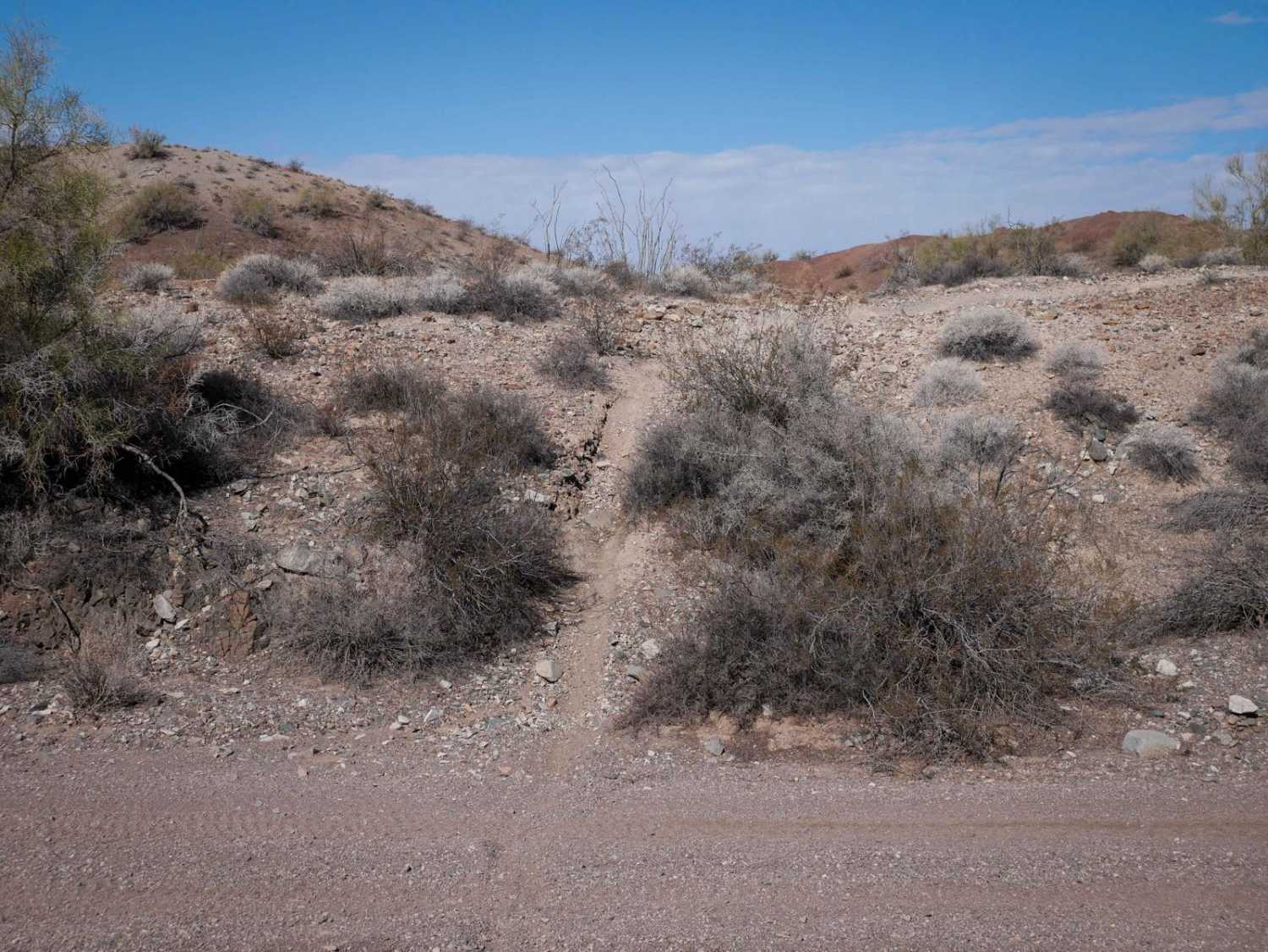
This is a fun and scenic ATV trail at the base of the Hualapai Mountains. The south end ends at private property, so you have to ride it as an out-and-back. The north end starts as a continuation of the road segment of H1334 without any trail marker or width designation, but later, you'll see signs for BLM Route 7127. It continues south through beautiful scenery in a valley of giant granite boulders. The trail has lots of loose rock and moderate climbs full of loose rock and large ruts. There are really big dips and ruts from the erosion. The north end is more open with wide views, but as you start climbing back into the pinyon pines, there is more shade. The route curves and climbs, and gets really steep near the south end, and becomes deeply rutted in these steep spots, where one side of the trail has a huge washout, and you have to get onto the high points. This will be tricky for ATVs to approach at the right angle and straddle the ruts or find the best line. There are lots of big loose rocks in the steep spots as well. The grade then mellows out and keeps climbing more gradually, past a water tank. It turns into a shelf road section on the edge of the hillside with incredible views out over the rock outcroppings and granite boulders. After gaining 600 feet of elevation over 1.2 miles, the legal trail ends at private property, but the end isn't marked, and the route does continue into the private property. The route follows a small irrigation tube most of the time.
Photos of H1335/BLM 7127

Difficulty
This trail has some deep ruts and erosion that will make it more difficult for ATVs. It becomes steep and rocky and rutted in the middle of the route, making it more of a moderate trail.
Status Reports
H1335/BLM 7127 can be accessed by the following ride types:
- ATV (50")
- Dirt Bike
H1335/BLM 7127 Map
Popular Trails
Lake Mead View Trail
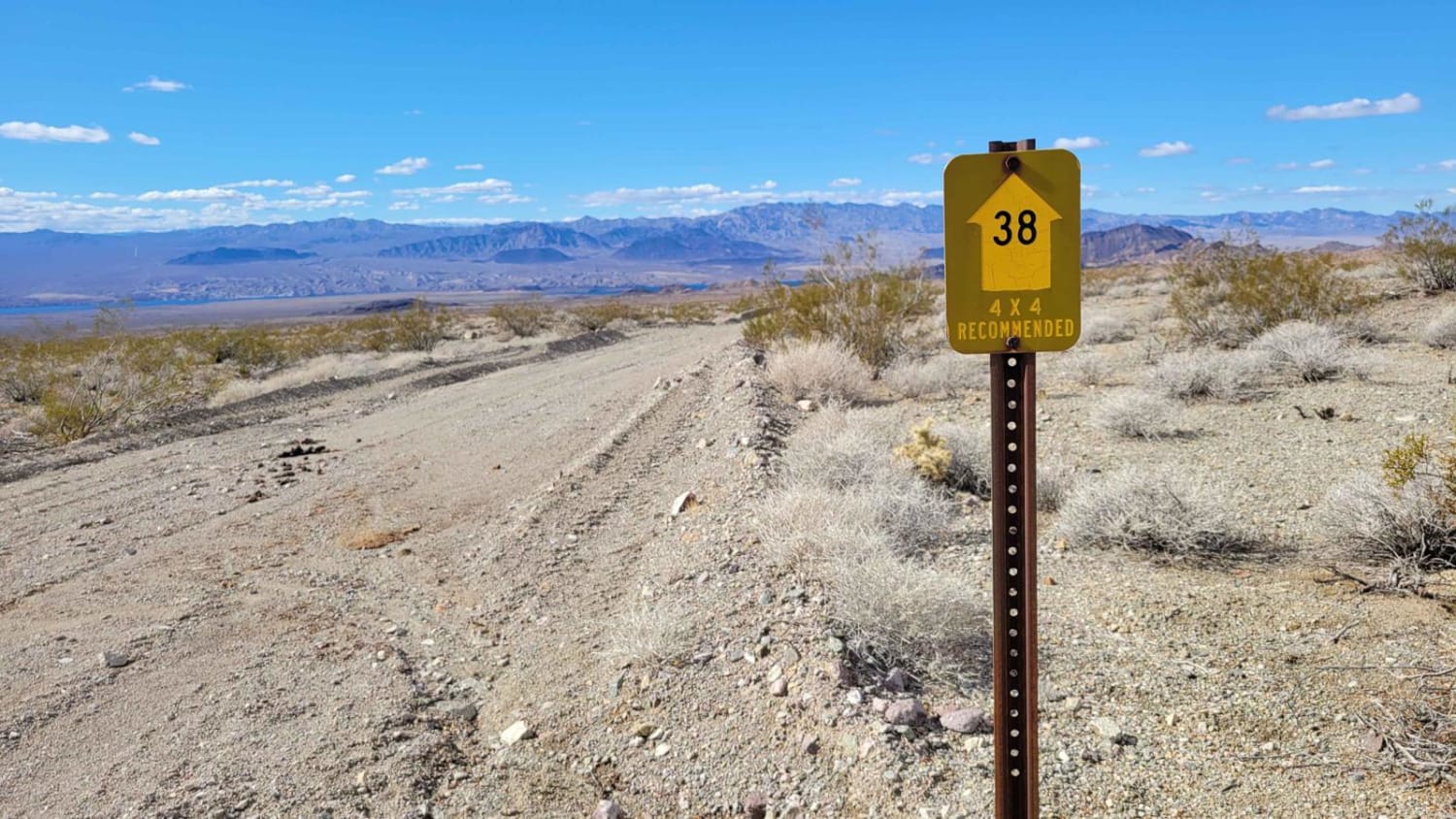
Arizona Bay Road - 38
The onX Offroad Difference
onX Offroad combines trail photos, descriptions, difficulty ratings, width restrictions, seasonality, and more in a user-friendly interface. Available on all devices, with offline access and full compatibility with CarPlay and Android Auto. Discover what you’re missing today!