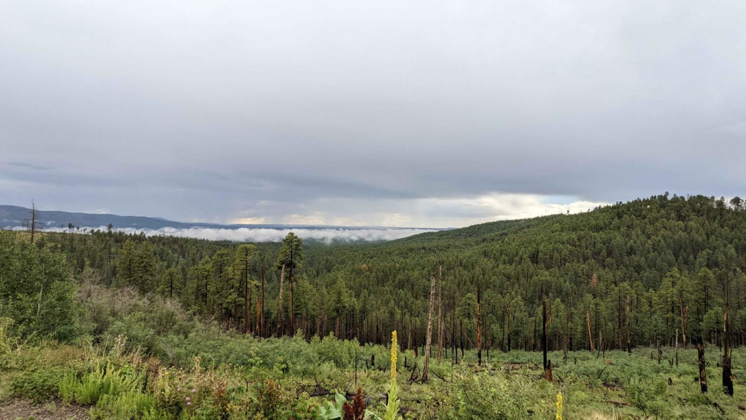
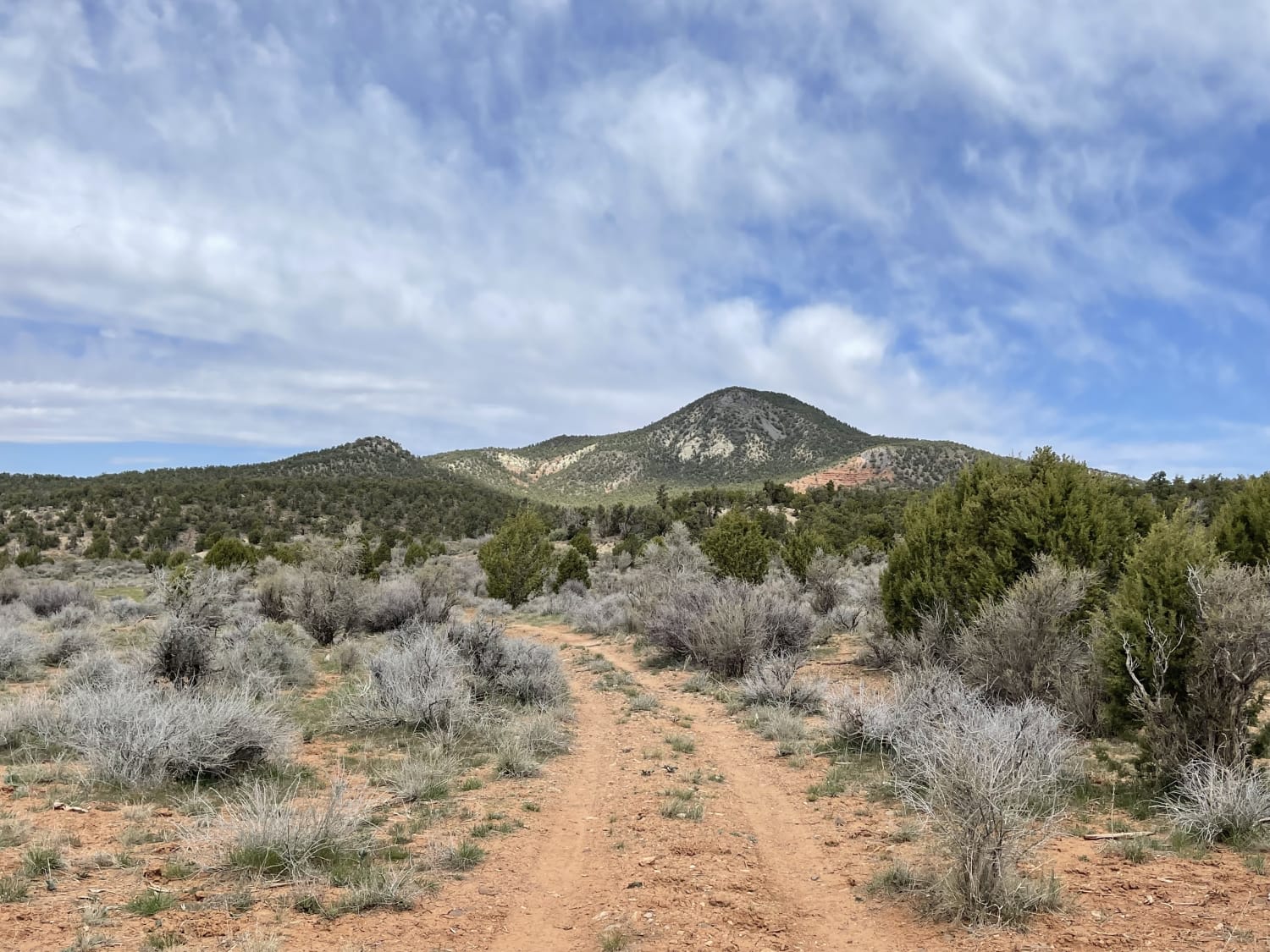
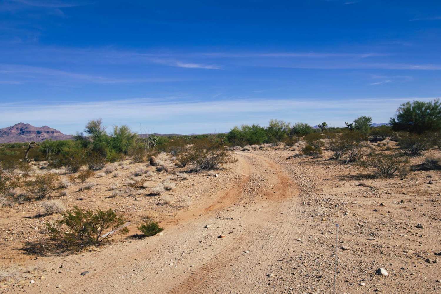
Off-Road Trails in Arizona
Discover off-road trails in Arizona
Learn more about Muldoon / 638
Muldoon / 638
Total Miles
8.3
Tech Rating
Easy
Best Time
Spring, Fall, Winter
Learn more about Muldoon's Dead End 
Muldoon's Dead End
Total Miles
2.8
Tech Rating
Moderate
Best Time
Fall, Spring
Learn more about Multi-Mine Road
Multi-Mine Road
Total Miles
2.5
Tech Rating
Easy
Best Time
Spring, Summer, Fall
Learn more about Music Mountains Trail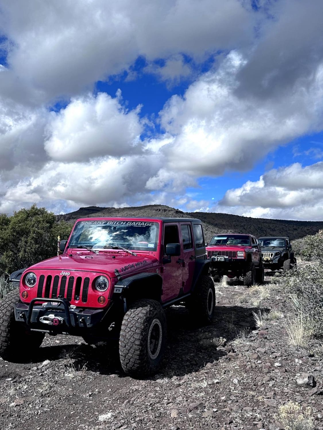
Music Mountains Trail
Total Miles
16.9
Tech Rating
Easy
Best Time
Spring, Fall, Winter, Summer
Learn more about Mystery Canyon
Mystery Canyon
Total Miles
2.0
Tech Rating
Difficult
Best Time
Spring, Summer, Fall, Winter
Learn more about Nacho's Bar Cutover Tight Squeeze
Nacho's Bar Cutover Tight Squeeze
Total Miles
1.4
Tech Rating
Moderate
Best Time
Spring, Fall
Learn more about Nampaweap Petroglyph Trail BLM 1028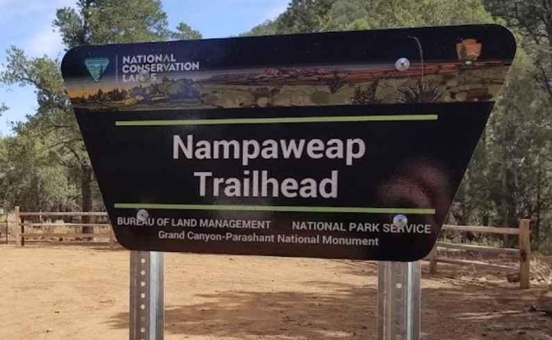
Nampaweap Petroglyph Trail BLM 1028
Total Miles
1.1
Tech Rating
Easy
Best Time
Spring, Summer, Fall
Learn more about Nancy's Extension
Nancy's Extension
Total Miles
2.1
Tech Rating
Easy
Best Time
Spring, Summer, Fall
Learn more about Nancy's Folly
Nancy's Folly
Total Miles
1.1
Tech Rating
Easy
Best Time
Spring, Summer, Fall
Learn more about Narrow Cutoff
Narrow Cutoff
Total Miles
4.9
Tech Rating
Easy
Best Time
Spring, Summer, Fall, Winter
Learn more about Natural Arches Loop
Natural Arches Loop
Total Miles
2.5
Tech Rating
Moderate
Best Time
Spring, Summer, Fall, Winter
Learn more about Natural Drainage Rd 488
Natural Drainage Rd 488
Total Miles
2.9
Tech Rating
Easy
Best Time
Spring, Summer
Learn more about Navajo Trail West
Navajo Trail West
Total Miles
16.0
Tech Rating
Easy
Best Time
Spring, Summer, Fall, Winter
Learn more about Neck Pain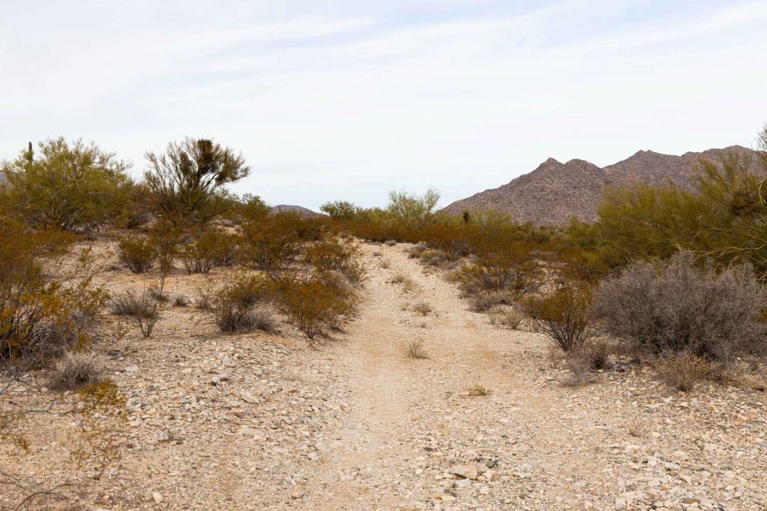
Neck Pain
Total Miles
3.1
Tech Rating
Easy
Best Time
Spring, Summer, Fall, Winter
Learn more about Nelson's Cutoff
Nelson's Cutoff
Total Miles
3.1
Tech Rating
Easy
Best Time
Spring, Summer, Fall
ATV trails in Arizona
Learn more about Scrub Oak Bypass 
Scrub Oak Bypass
Total Miles
0.5
Tech Rating
Easy
Best Time
Spring, Summer, Fall


UTV/side-by-side trails in Arizona
Learn more about Scrub Oak Bypass
Scrub Oak Bypass
Total Miles
0.5
Tech Rating
Easy
Best Time
Spring, Summer, Fall
The onX Offroad Difference
onX Offroad combines trail photos, descriptions, difficulty ratings, width restrictions, seasonality, and more in a user-friendly interface. Available on all devices, with offline access and full compatibility with CarPlay and Android Auto. Discover what you’re missing today!