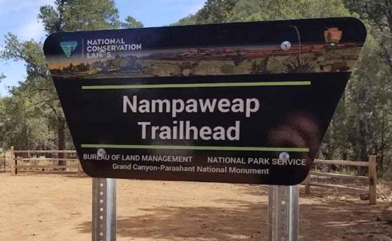
Nampaweap Petroglyph Trail BLM 1028
Total Miles
1.1
Technical Rating
Best Time
Spring, Summer, Fall
Trail Type
Full-Width Road
Accessible By
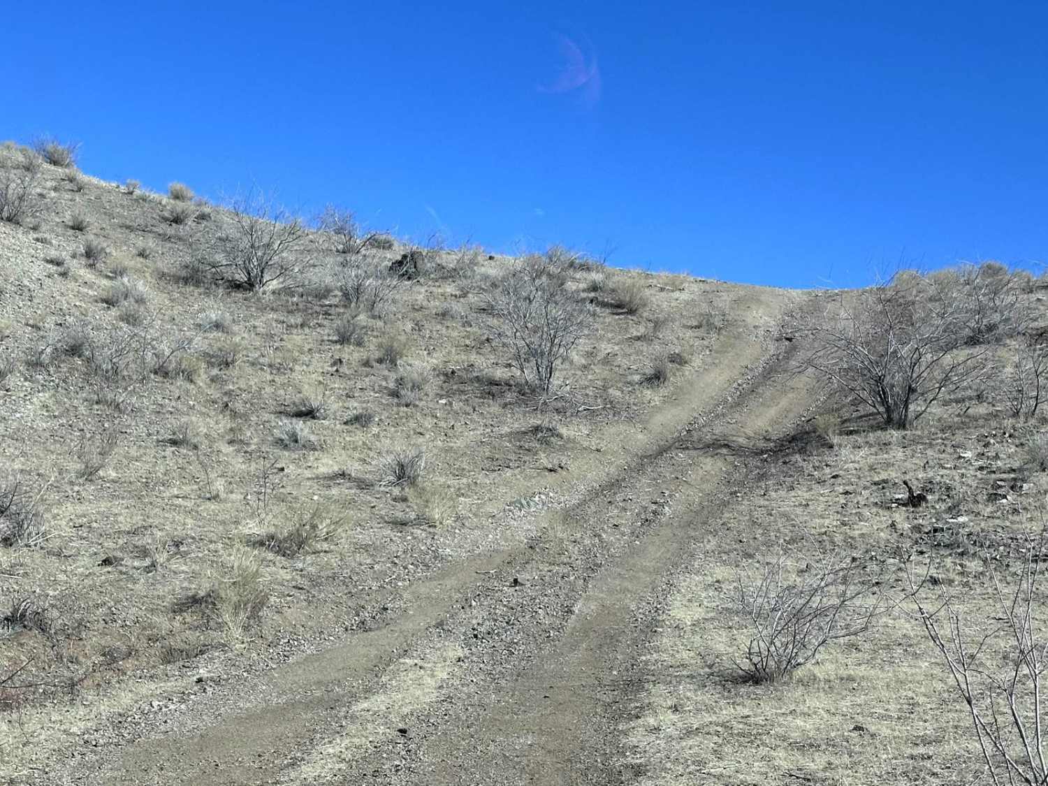
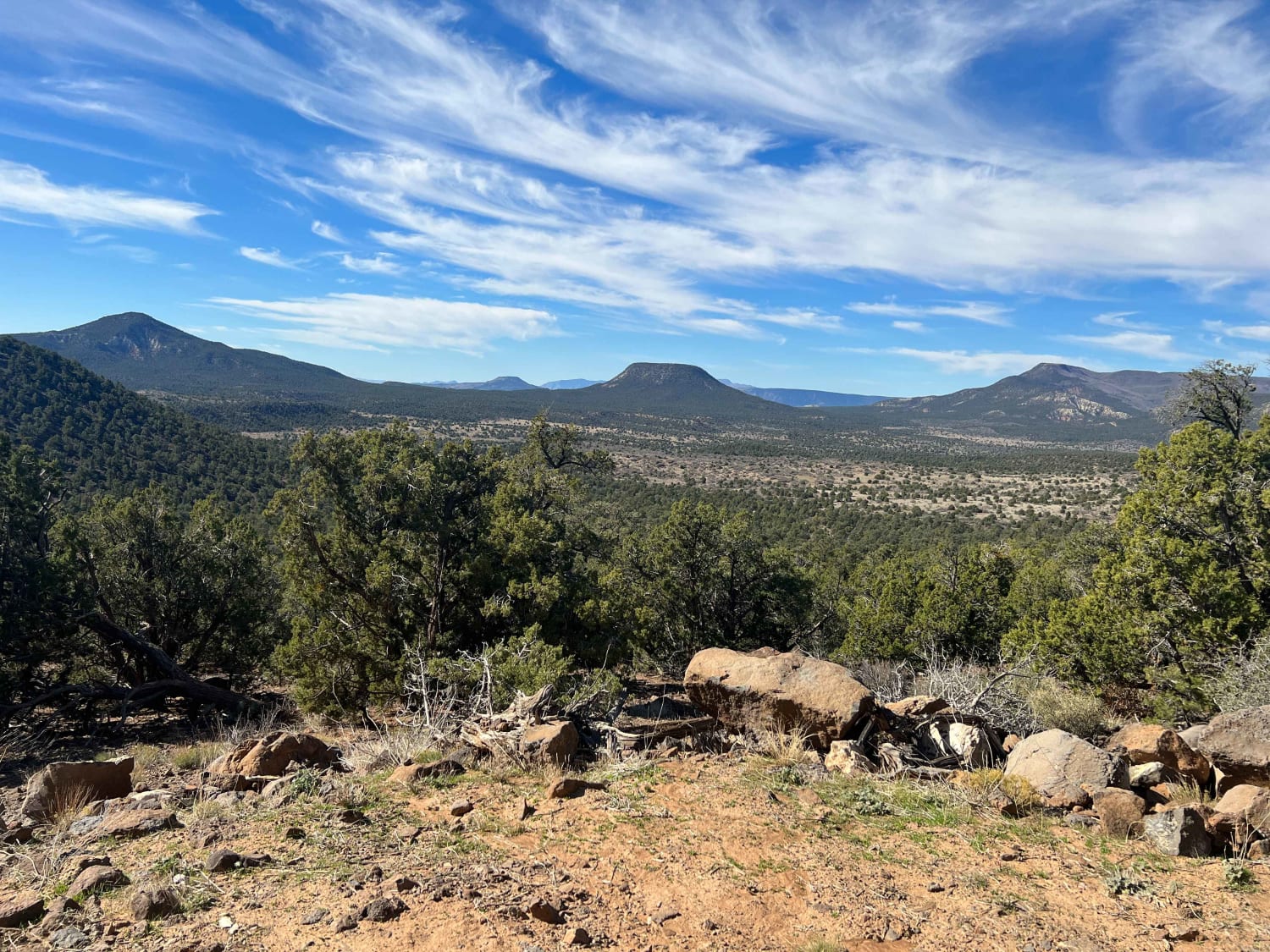
Trail Overview
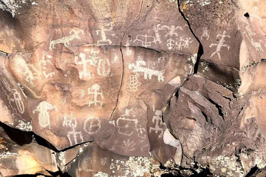
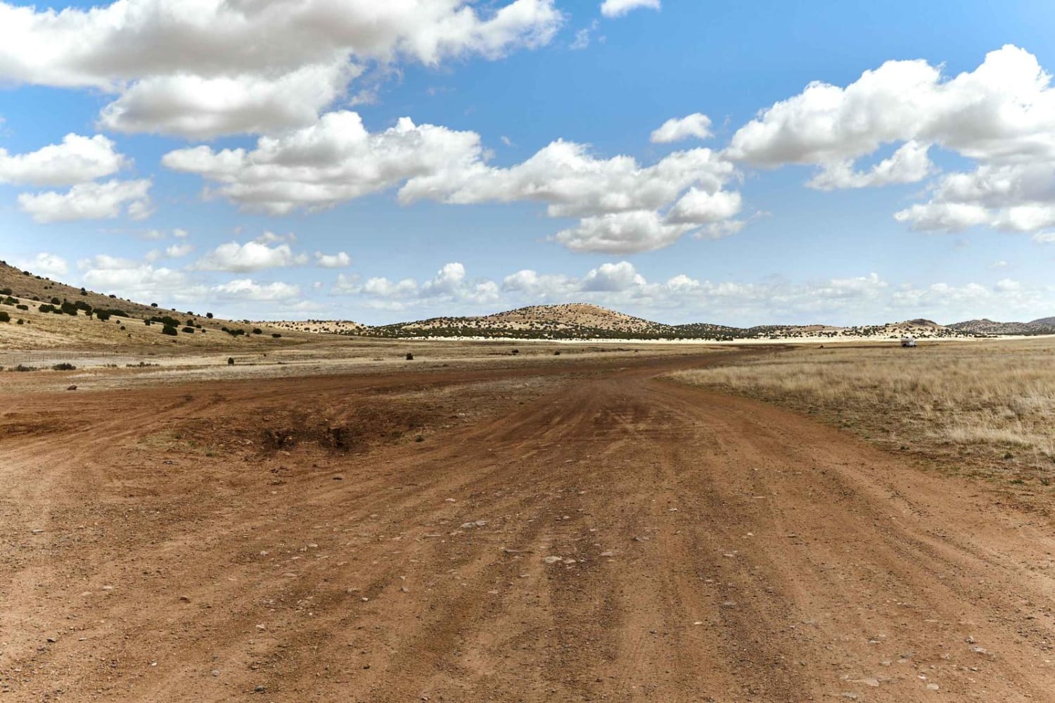
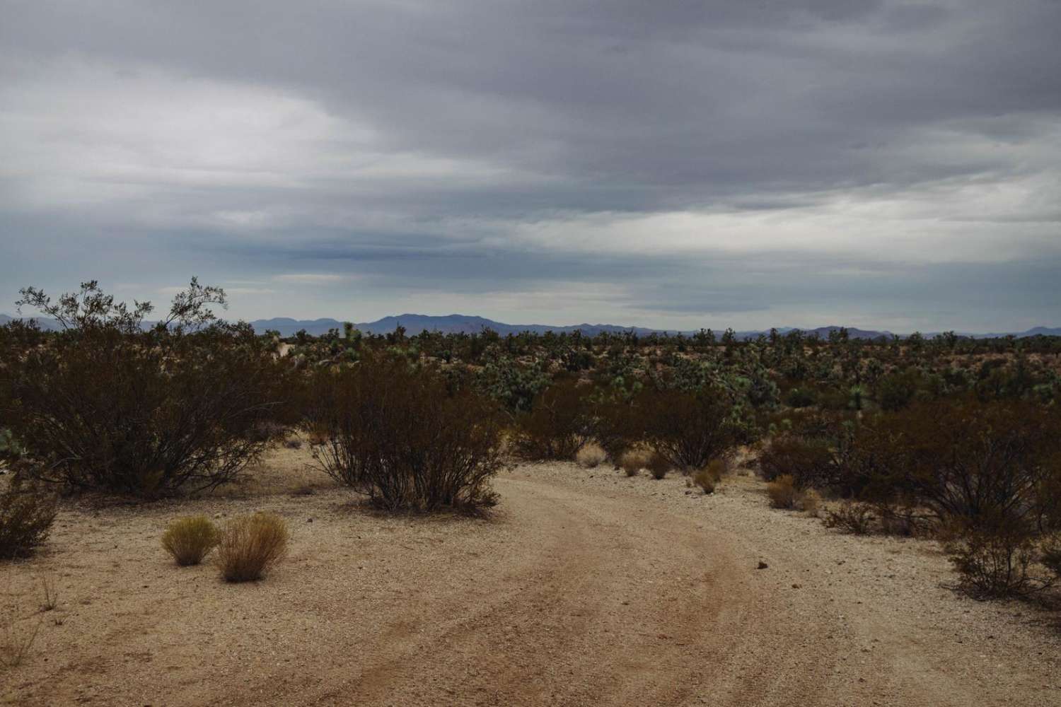
Nampaweap Petroglyph Trail BLM 1028 is a 1.1-mile road that leads to a destination hike and is rated 2 of 10. This is one of several trails used to travel around the Mount Logan and Hell's Hole area of the Grand Canyon-Parashant National Monument. At the southern end of this trail is a parking area (east side of the road) and a hiking access trail to the Nampaweap Petroglyph site. The Nampaweap Trail is a short out-and-back hike. The hike traverses a small canyon with basalt outcroppings. Many ancient petroglyphs can be seen along the trail. An information kiosk describes the short 0.75-mile trek to the petroglyphs. Thousands of defined etchings can be found on the boulders that sit above the floor of the dry streambed. This canyon is called Billy Goat Canyon by the locals due to the numerous "billy goat" petroglyphs found on the rock and it is considered to be the largest rock art site on the Arizona Strip. Do not climb on the rocks and damage the petroglyphs. Be aware that rattlesnakes are commonly seen and heard among the fallen basalt. Stay in the wash below, where the drawings can easily be seen. Petroglyphs are images carved into rock. Nampaweap means "foot canyon" in Paiute. The petroglyphs are estimated to be between 10,000 and 15,000 years old. This canyon is thought to have been an important route from the Grand Canyon to the abundant resources of Mount Trumbull's ponderosa pines. There is no water, gas, food, lodging, Wi-Fi, or cell service. Visitors should be advised that towing charges in the event of vehicles becoming stuck or damaged are in the region of $3,000. Areas above 5000 feet may not be accessible in winter months due to mud and snow.
Photos of Nampaweap Petroglyph Trail BLM 1028
Difficulty
This is a county dirt road with infrequent or light maintenance after rain or snow. High-clearance, light-duty 4WD is required.
Status Reports
Nampaweap Petroglyph Trail BLM 1028 can be accessed by the following ride types:
- High-Clearance 4x4
- SUV
- SxS (60")
- ATV (50")
- Dirt Bike
Nampaweap Petroglyph Trail BLM 1028 Map
Popular Trails
Muldoon / 638
Middle Water Spring Trail
The onX Offroad Difference
onX Offroad combines trail photos, descriptions, difficulty ratings, width restrictions, seasonality, and more in a user-friendly interface. Available on all devices, with offline access and full compatibility with CarPlay and Android Auto. Discover what you’re missing today!