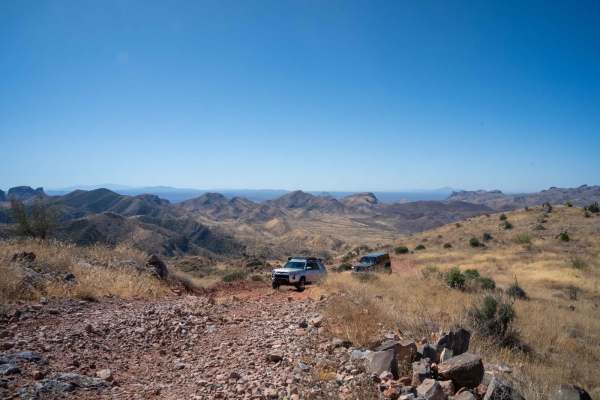
Trail Overview
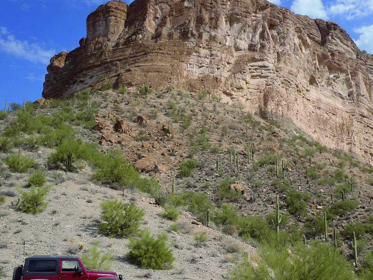
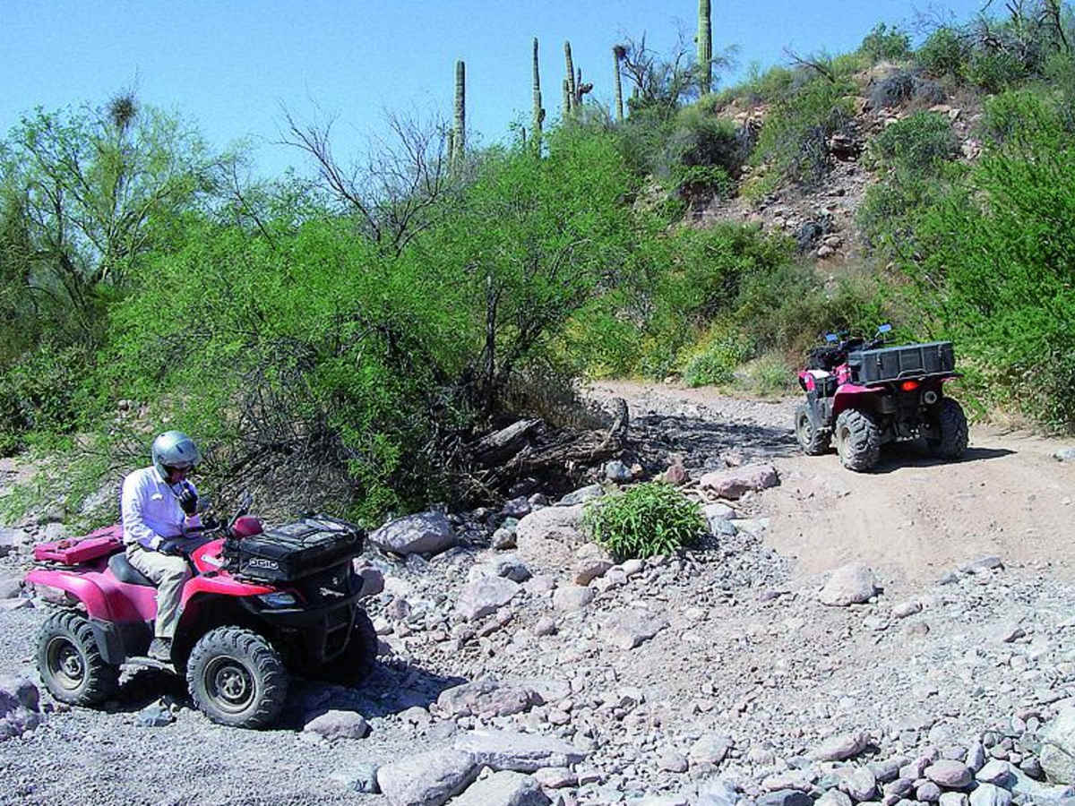
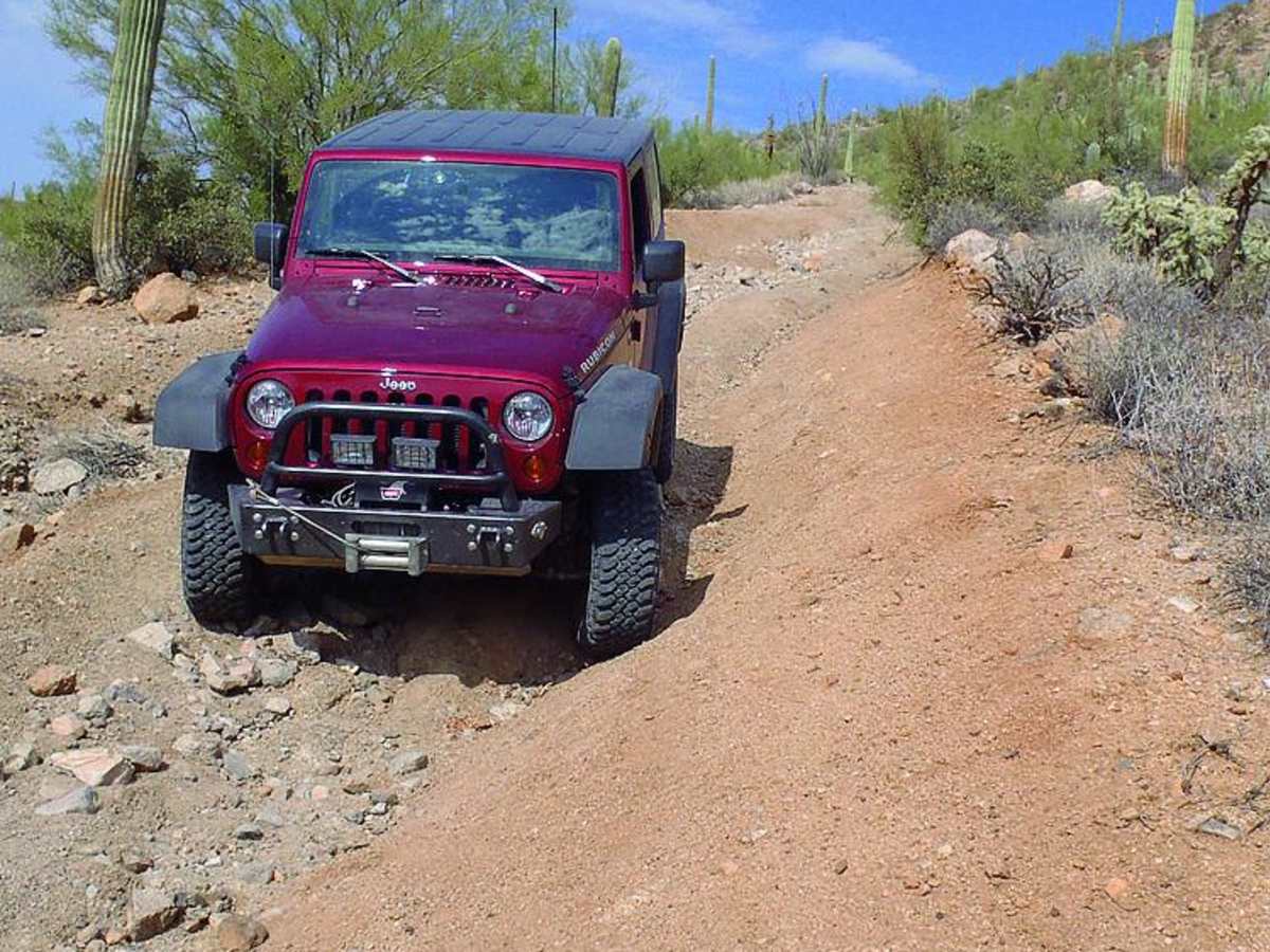
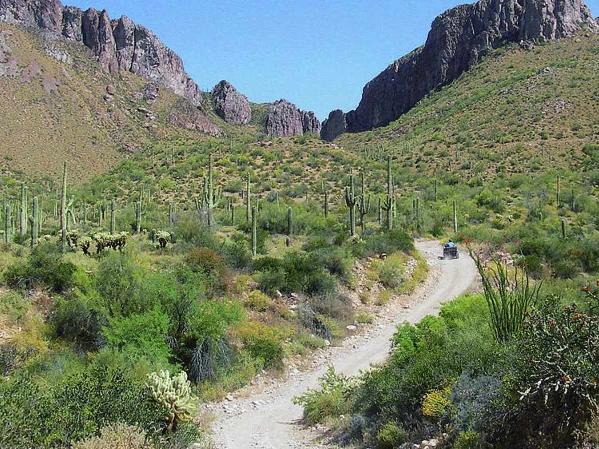
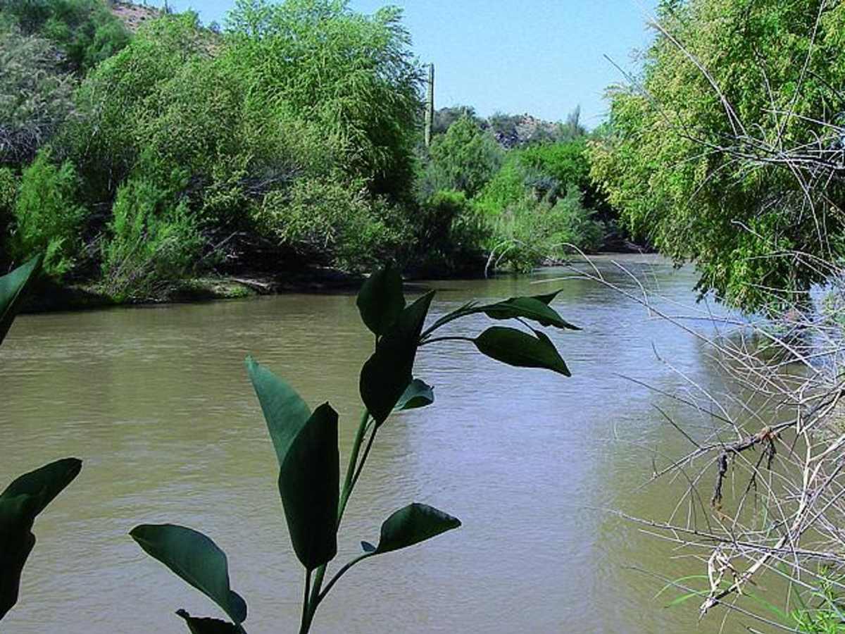
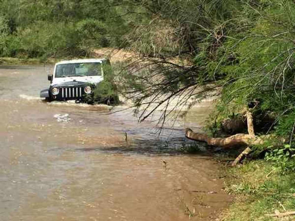
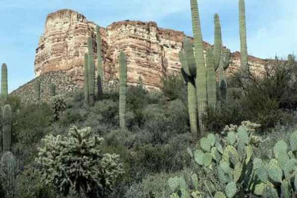
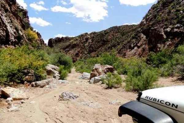
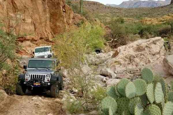
Walnut Canyon is certainly one of the most scenic Jeep trails in the area. It skirts the edge of White Canyon Wilderness, and the canyons and mountains along the trail are spectacular. Much of the land approaching Walnut Canyon is owned by Asarco, owners of the Ray Mine, and other properties in Arizona. Access is now allowed, but can be revoked at any time. We like to drive the loop in a clockwise direction and have described it in that direction. There are many nice vistas, and wildflowers are abundant in the spring. Walnut Ford on the Gila River is a great place to play if the river flow is not too high. After visiting the ford, head west along the river then turn north up Lower Walnut Canyon. The trail is in the wash and is a lot of fun to drive after heavy rain. We do not know why this is named Walnut Canyon - we have not seen any walnut trees. Our best guess is that big rocks fall from a brown layer high on the cliffs and are scattered on the lower slopes. With a little imagination, these brown rocks could be interpreted as walnuts. With a little more imagination this one could be interpreted as a cow skull.
Difficulty
Moderate: Winding, rutted road with steep climbs and descents. Much of the trail follows low-lying sandy washes. Toughest part is a long, steep downhill stretch between Waypoints 05 and 06. After a heavy rain, this section can become rutted and washed out.