Mustang Knoll
Total Miles
6.2
Technical Rating
Best Time
Fall, Spring
Trail Type
High-Clearance 4x4 Trail
Accessible By
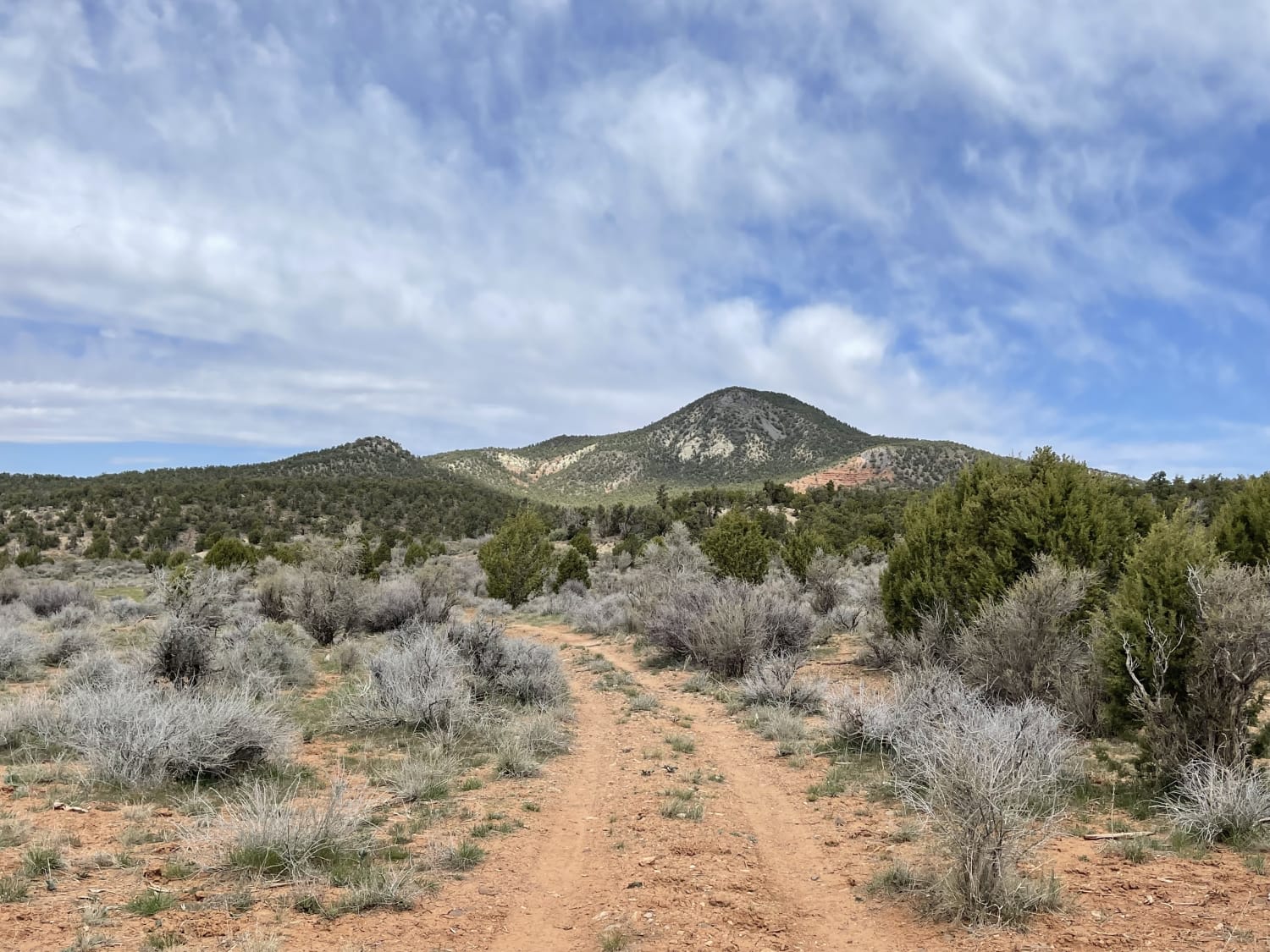
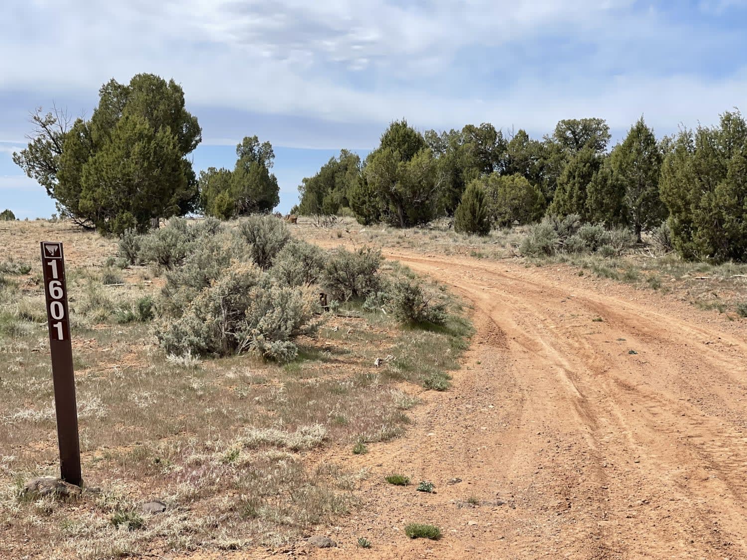
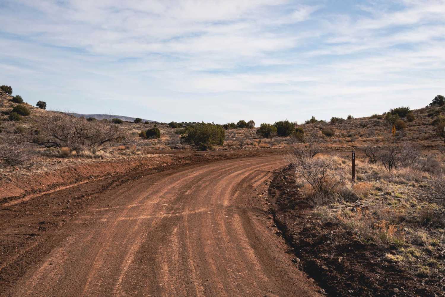
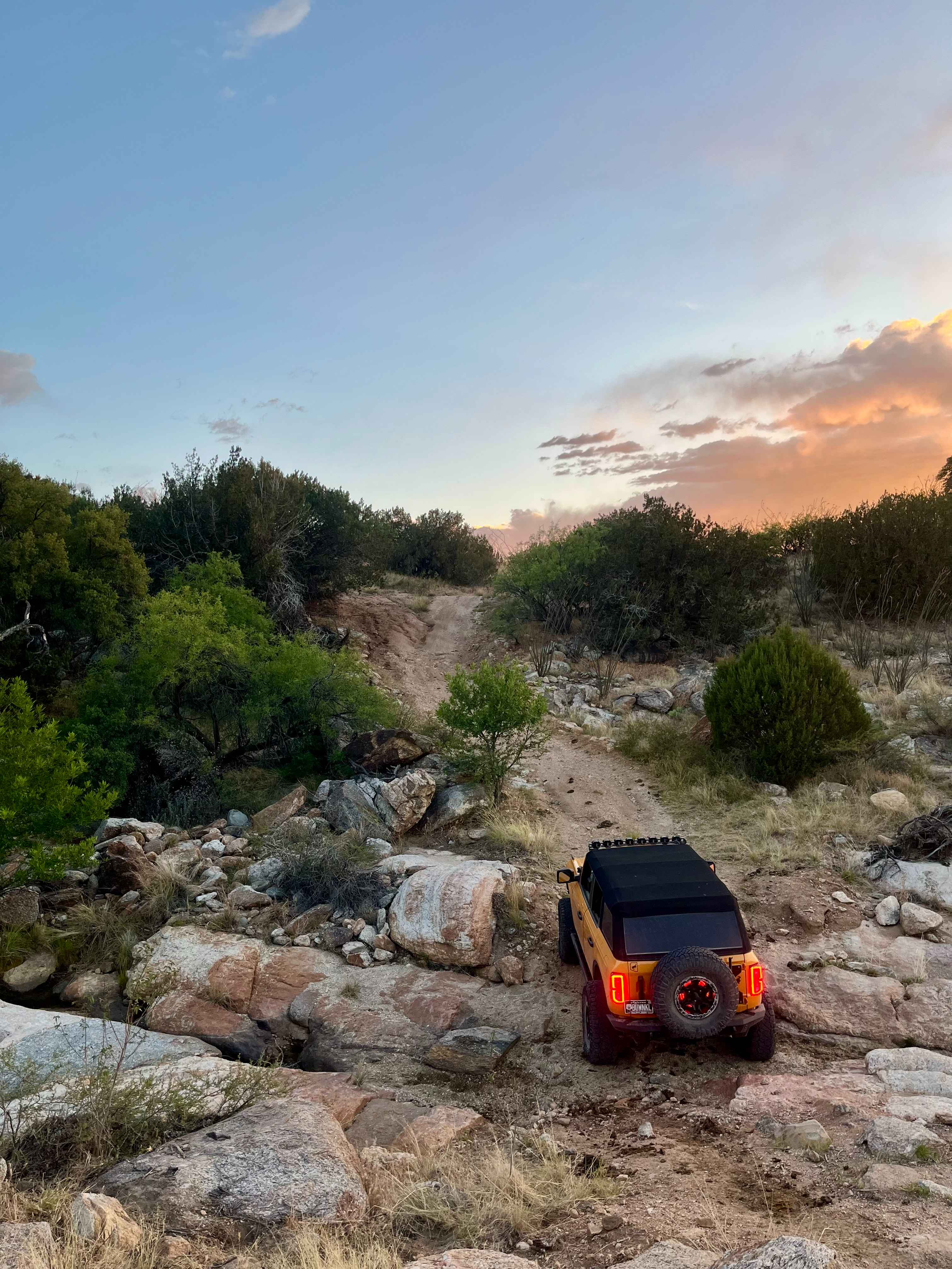
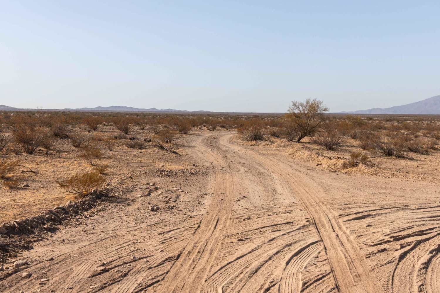
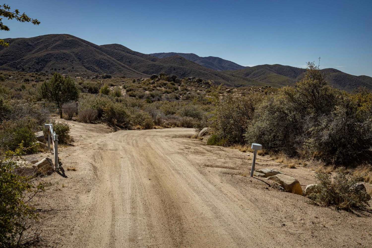
Trail Overview
This lovely trail runs along the southern side of Mustang Knoll. It starts in the east in the open planes and ends to the west in the rolling hills at good ole 1600 trail. From here, you can continue north or south to explore. There is a nice view of the knoll the entire trip. Be aware of a cattle gate with signage to keep closed even if it's open when you come across it. This trail does cross into the Grand Canyon Parashant National Monument. The trail goes through a lovely Juniper forest and only has a few slightly challenging sections. A mild rocky hill climb, some washed-out areas that may be a bit off-camber for a higher vehicle, and one deeply washed-out section with a bypass just to the north. This trail would be a mucky mess when wet. There is no cell service.
Photos of Mustang Knoll
Difficulty
A rocky hill climb, one really deep washout that may clam a stock 4x4's bumper, some off-camber sections not recommended for taller vehicles.
Status Reports
Mustang Knoll can be accessed by the following ride types:
- High-Clearance 4x4
- SxS (60")
- ATV (50")
- Dirt Bike
Mustang Knoll Map
Popular Trails
The onX Offroad Difference
onX Offroad combines trail photos, descriptions, difficulty ratings, width restrictions, seasonality, and more in a user-friendly interface. Available on all devices, with offline access and full compatibility with CarPlay and Android Auto. Discover what you’re missing today!