Off-Road Trails in New Brunswick
Discover off-road trails in New Brunswick
Learn more about Balancing Rock Winter Trail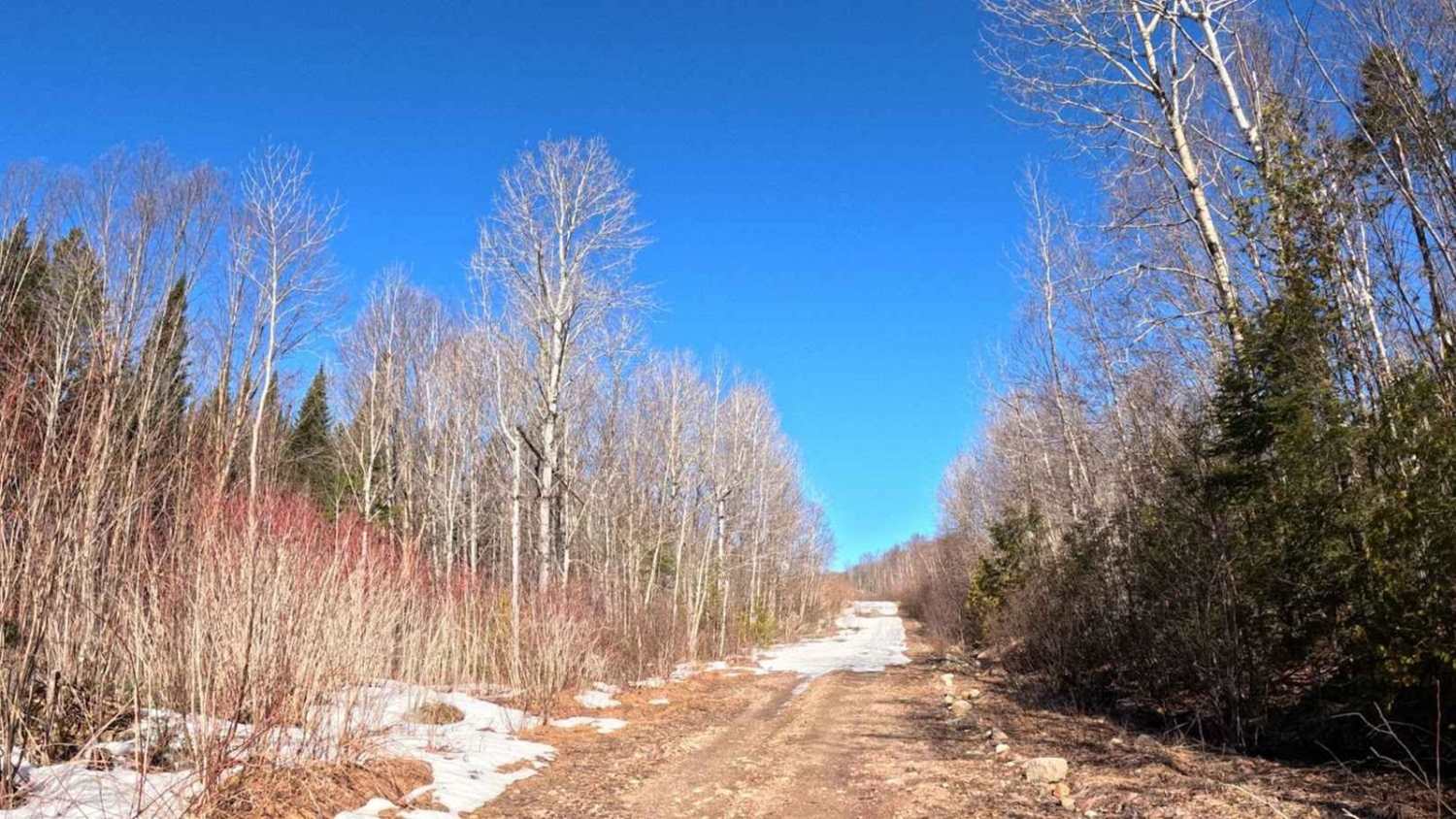
Balancing Rock Winter Trail
Total Miles
8.8
Tech Rating
Easy
Best Time
Summer

Learn more about Campbell Brook Road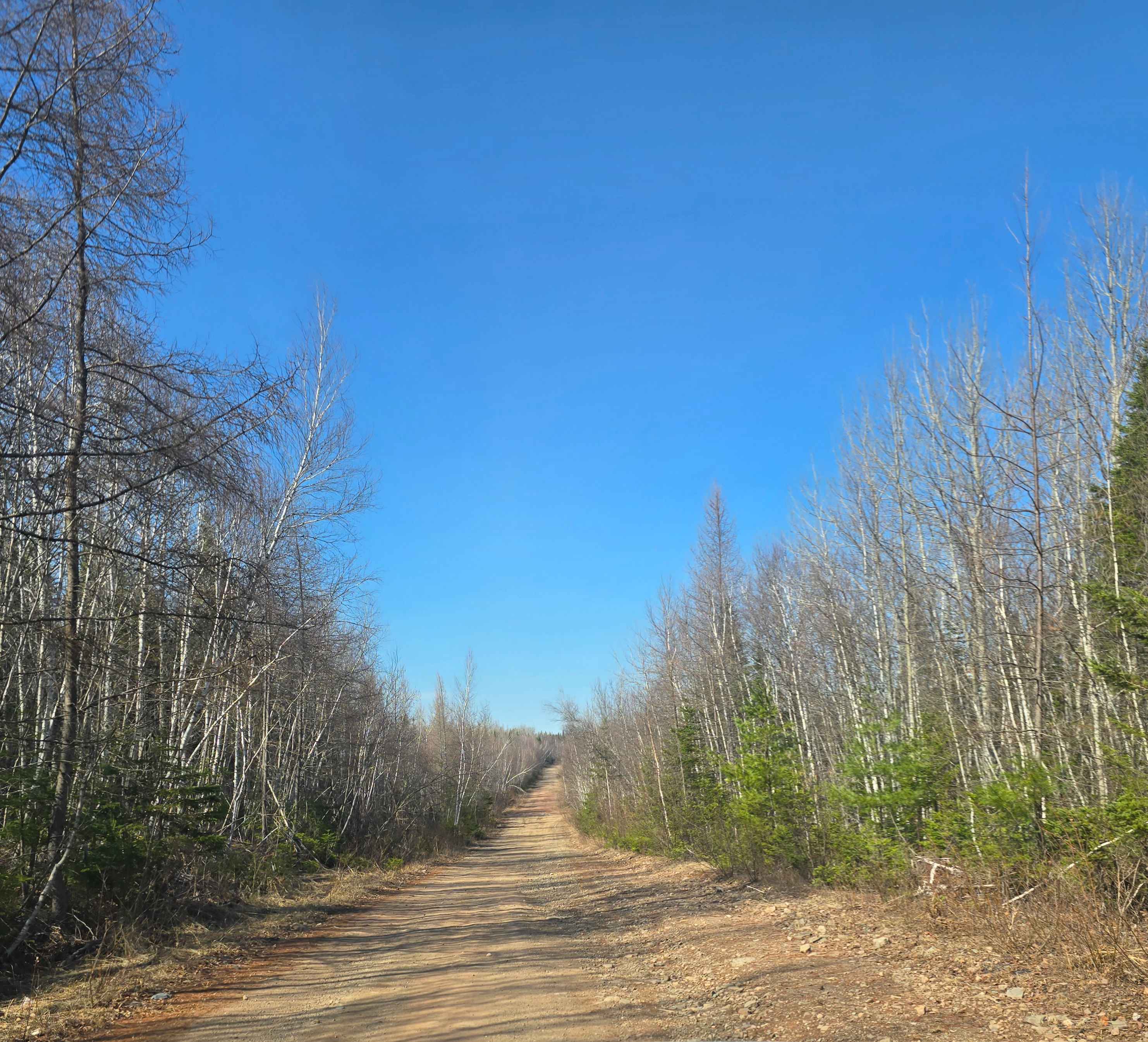
Campbell Brook Road
Total Miles
2.6
Tech Rating
Easy
Best Time
Summer, Fall
Learn more about Claudie Pit Backroad
Claudie Pit Backroad
Total Miles
0.4
Tech Rating
Easy
Best Time
Summer, Fall, Spring

Learn more about Coac Shortcut
Coac Shortcut
Total Miles
2.2
Tech Rating
Difficult
Best Time
Spring, Summer, Fall, Winter
Learn more about Crooked Creek Trail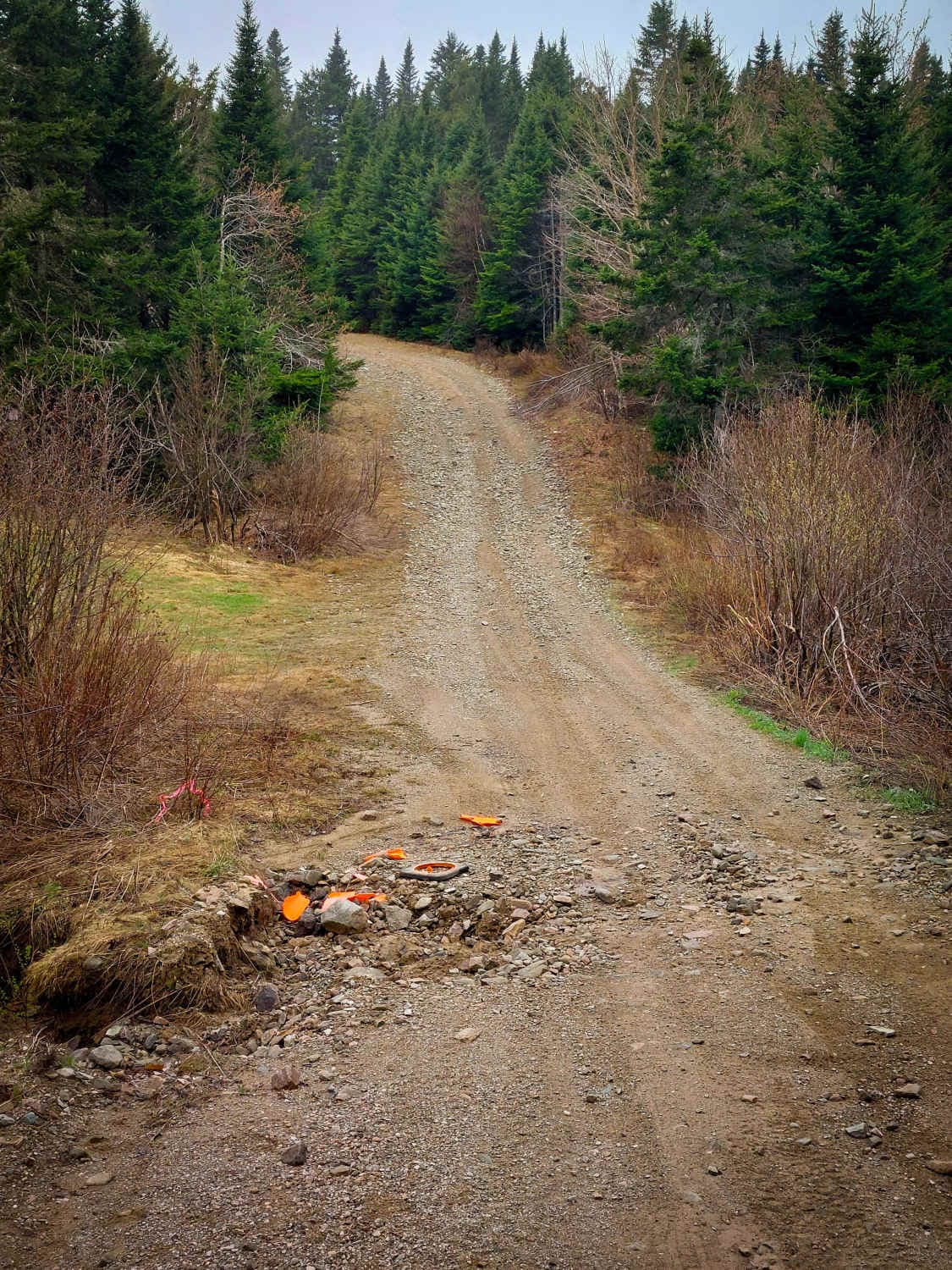
Crooked Creek Trail
Total Miles
8.0
Tech Rating
Easy
Best Time
Summer, Fall
Learn more about Deserted Pork Corridor
Deserted Pork Corridor
Total Miles
1.4
Tech Rating
Easy
Best Time
Summer, Fall, Winter, Spring
Learn more about Douglas Clear Cut Bypass
Douglas Clear Cut Bypass
Total Miles
2.3
Tech Rating
Moderate
Best Time
Winter, Fall, Summer
Learn more about Douglas Clearcut
Douglas Clearcut
Total Miles
2.0
Tech Rating
Moderate
Best Time
Spring, Summer, Fall, Winter
Learn more about Douglas Hydro Bypass
Douglas Hydro Bypass
Total Miles
1.4
Tech Rating
Moderate
Best Time
Summer
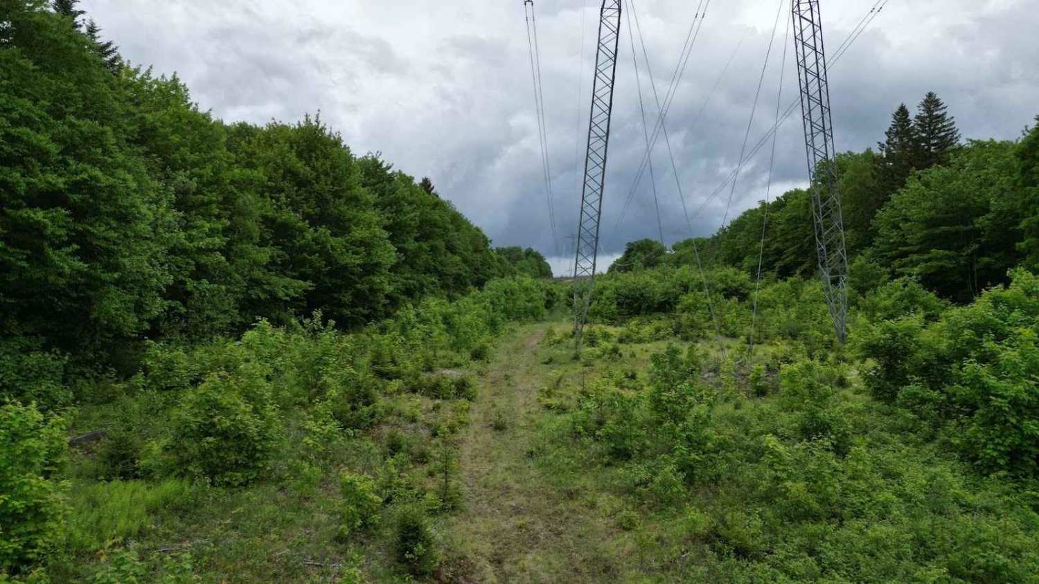
Learn more about Douglas Hydro Line
Douglas Hydro Line
Total Miles
4.6
Tech Rating
Moderate
Best Time
Summer, Fall, Winter, Spring
Learn more about Douglas Logging Road Loop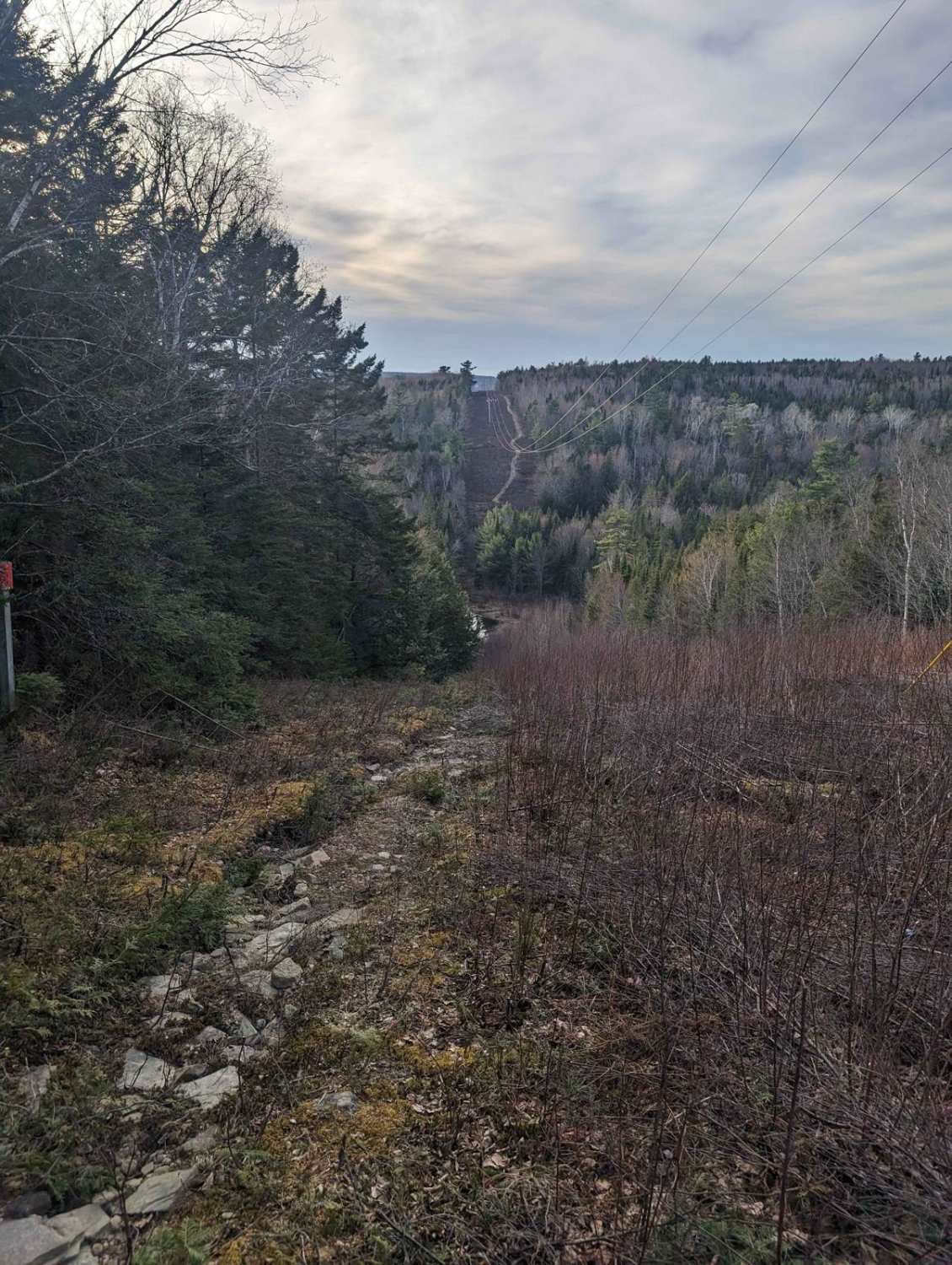
Douglas Logging Road Loop
Total Miles
2.0
Tech Rating
Moderate
Best Time
Spring, Summer, Fall, Winter
Learn more about Douglas Pit Ascent
Douglas Pit Ascent
Total Miles
2.3
Tech Rating
Easy
Best Time
Spring, Summer, Winter, Fall
Learn more about Dry and Wiry Spur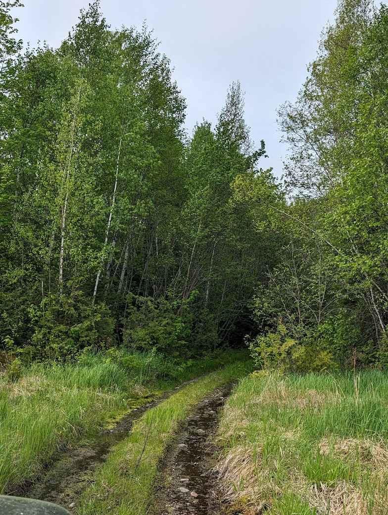
Dry and Wiry Spur
Total Miles
1.2
Tech Rating
Easy
Best Time
Spring, Summer, Winter, Fall
Learn more about Durham Bridge Hydro Line
Durham Bridge Hydro Line
Total Miles
6.8
Tech Rating
Moderate
Best Time
Spring, Summer, Fall
Learn more about Fall Brook Falls
Fall Brook Falls
Total Miles
10.2
Tech Rating
Easy
Best Time
Summer, Spring, Fall
ATV trails in New Brunswick
Learn more about Balancing Rock Winter Trail
Balancing Rock Winter Trail
Total Miles
8.8
Tech Rating
Easy
Best Time
Summer
Learn more about Campbell Brook Road
Campbell Brook Road
Total Miles
2.6
Tech Rating
Easy
Best Time
Summer, Fall
Learn more about Claudie Pit Backroad
Claudie Pit Backroad
Total Miles
0.4
Tech Rating
Easy
Best Time
Summer, Fall, Spring
UTV/side-by-side trails in New Brunswick
Learn more about Midland Falls
Midland Falls
Total Miles
0.2
Tech Rating
Easy
Best Time
Summer, Spring, Fall
Learn more about Mill Bank Bend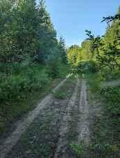
Mill Bank Bend
Total Miles
1.1
Tech Rating
Easy
Best Time
Winter, Fall, Summer, Spring
Learn more about Millville Plane Crash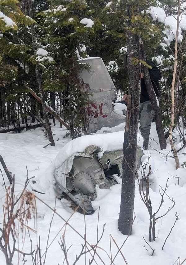
Millville Plane Crash
Total Miles
8.5
Tech Rating
Easy
Best Time
Summer
Learn more about North Tay Winter Trail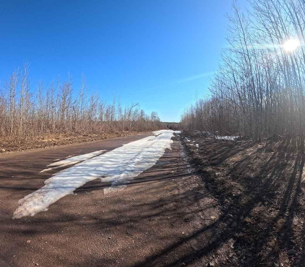
North Tay Winter Trail
Total Miles
3.6
Tech Rating
Easy
Best Time
Summer
The onX Offroad Difference
onX Offroad combines trail photos, descriptions, difficulty ratings, width restrictions, seasonality, and more in a user-friendly interface. Available on all devices, with offline access and full compatibility with CarPlay and Android Auto. Discover what you’re missing today!