Durham Bridge Hydro Line
Total Kilometers
10.9
Technical Rating
Best Time
Spring, Summer, Fall
Trail Type
Full-Width Road
Accessible By
Trail Overview
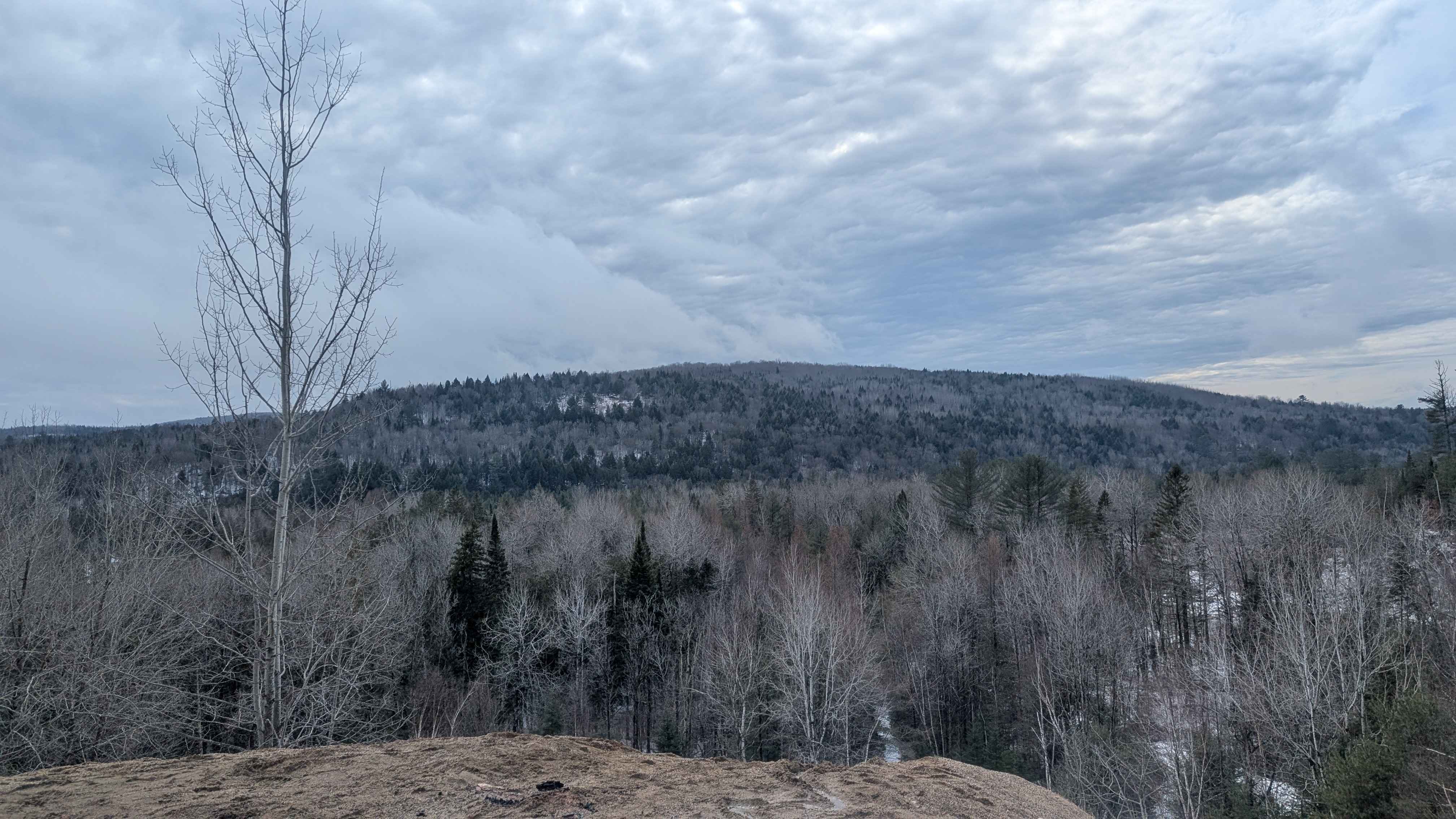
This track is accessed through a logging road off of Hurlett Road, the entrance is on the south side of the road. After passing through a clear-cut, you will come to a narrowing trail that will lead you to the hydro lines. For the most part, the lead up is easy for even a 2-wheel drive vehicle. When you first turn south onto the Hydro line, the trail is lined with large rocks, boulders, uneven terrain, dashing up and down through gullies along the utility line. You can exit to highway 148 or keep going until the next Hydro line intersection.
Photos of Durham Bridge Hydro Line


Difficulty
Boulders, water crossings around 18 inches deep at the bottom of gullies.
Status Reports
Durham Bridge Hydro Line can be accessed by the following ride types:
- High-Clearance 4x4
- SUV
- SxS (60")
- ATV (50")
- Dirt Bike
Durham Bridge Hydro Line Map
Popular Trails

Island Lake Northeast Trail
Upper Stone Ridge Easy Sand Pit

Sandlewood Tumble
Peach's Parade
The onX Offroad Difference
onX Offroad combines trail photos, descriptions, difficulty ratings, width restrictions, seasonality, and more in a user-friendly interface. Available on all devices, with offline access and full compatibility with CarPlay and Android Auto. Discover what you’re missing today!