Douglas Hydro Line
Total Kilometers
7.5
Technical Rating
Best Time
Summer, Fall, Winter, Spring
Trail Type
Full-Width Road
Accessible By
Trail Overview
Heading up an old logging road, you exit onto the hydro line to the right, over many large chunks of the mountain as well as through some water holes around 20 inches deep in parts. The trail exits to the Carlisle Road area if it gets too challenging, but leads all the way to Claudie Road across from the substation. There are many steep climbs and descents of up to 22 degrees, all of which are covered with loose rock.
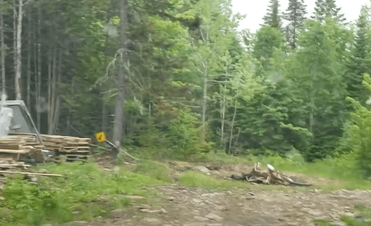
Photos of Douglas Hydro Line


Difficulty
Expect steep climbs and descents, up to 22 degrees. There are water holes with mud that are up to 20 inches deep.
Status Reports
Douglas Hydro Line can be accessed by the following ride types:
- High-Clearance 4x4
- SUV
- SxS (60")
- ATV (50")
- Dirt Bike
Douglas Hydro Line Map
Popular Trails

The Irving Dam

Island Lake Northeast Trail
Peckerwood Spur

Coac Shortcut
The onX Offroad Difference
onX Offroad combines trail photos, descriptions, difficulty ratings, width restrictions, seasonality, and more in a user-friendly interface. Available on all devices, with offline access and full compatibility with CarPlay and Android Auto. Discover what you’re missing today!