The Irving Dam
Total Kilometers
6.2
Technical Rating
Best Time
Winter, Fall, Summer, Spring
Trail Type
Full-Width Road
Accessible By
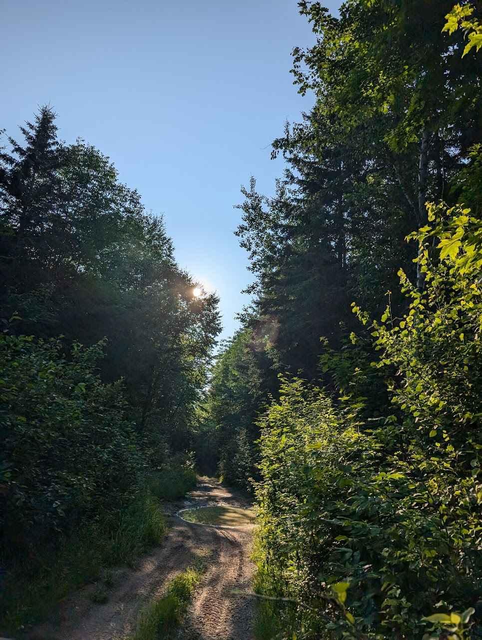
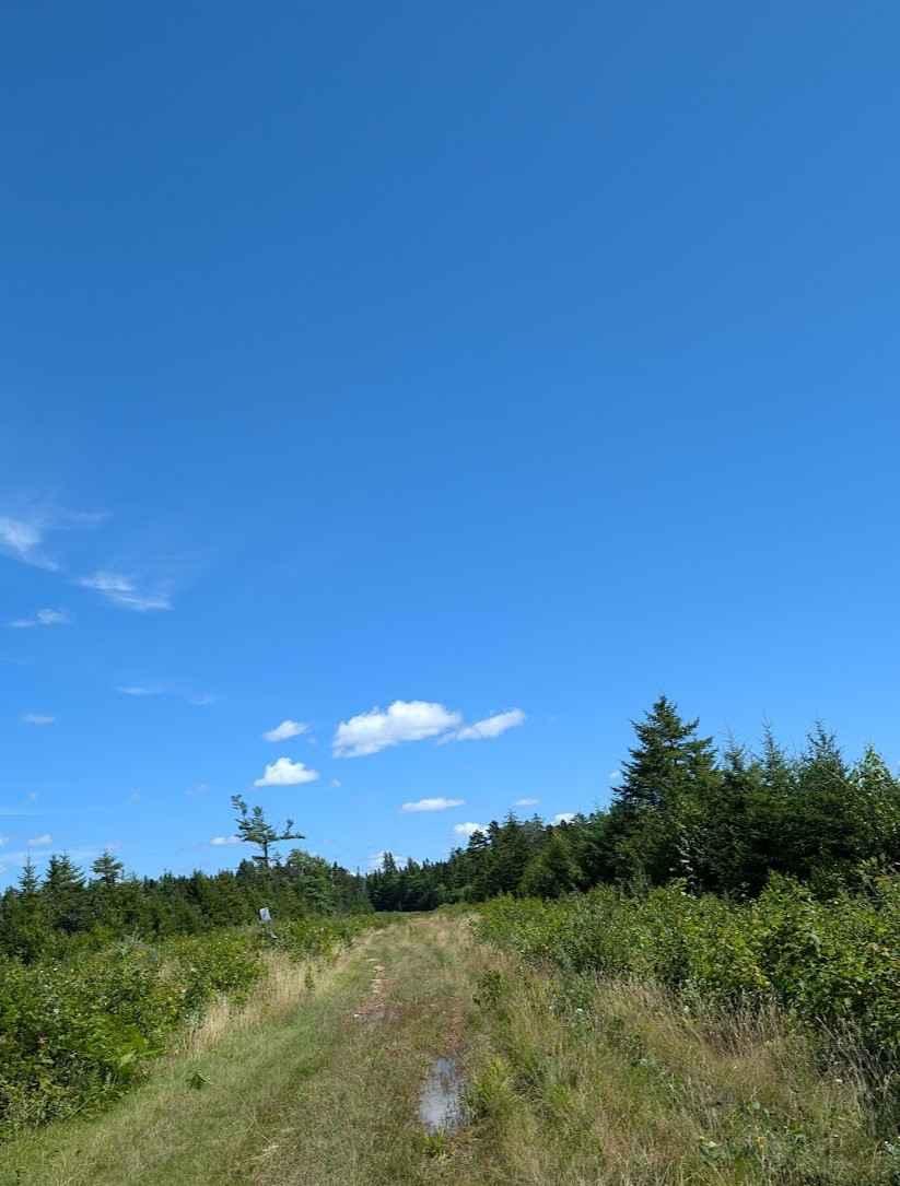
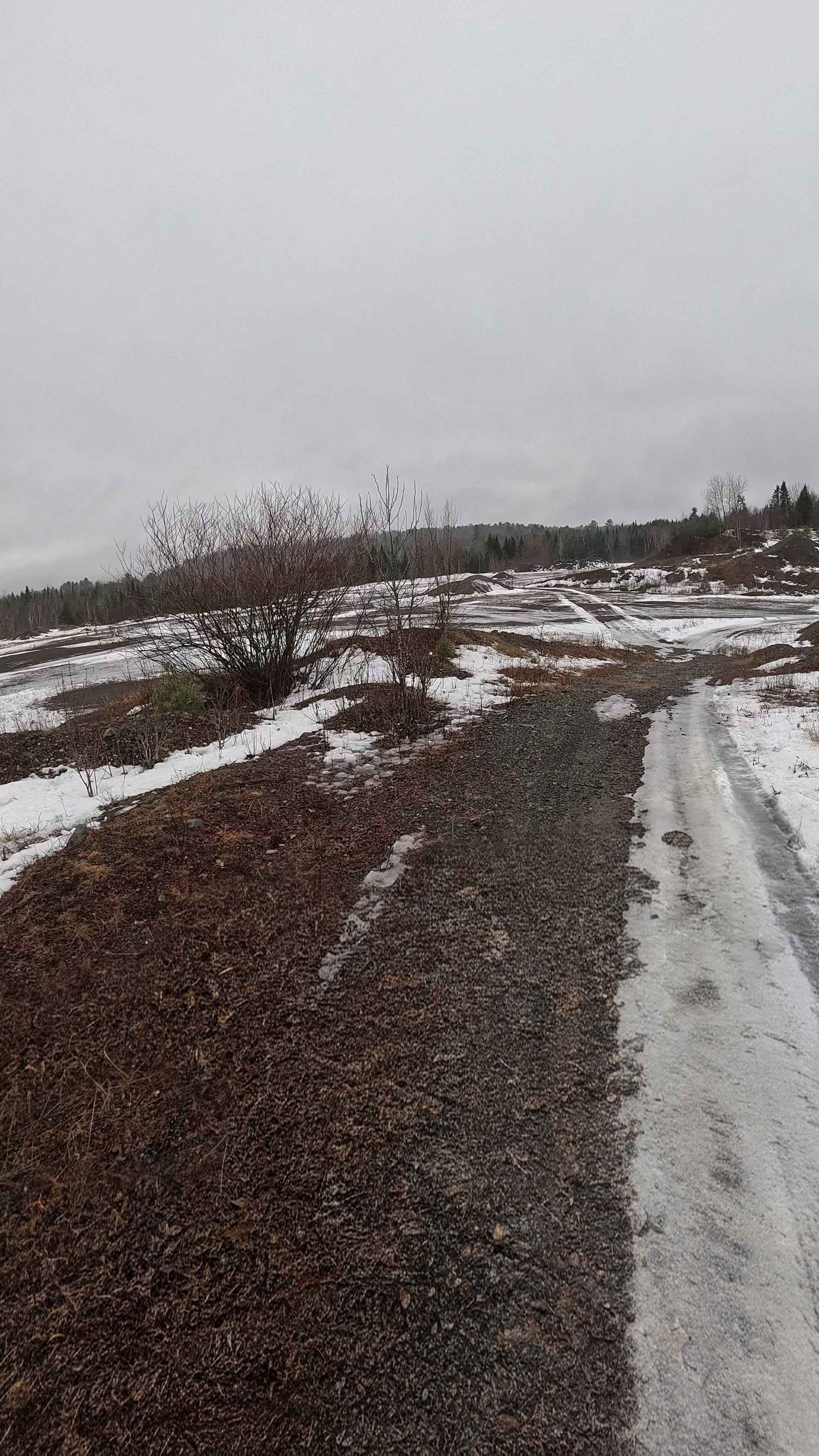
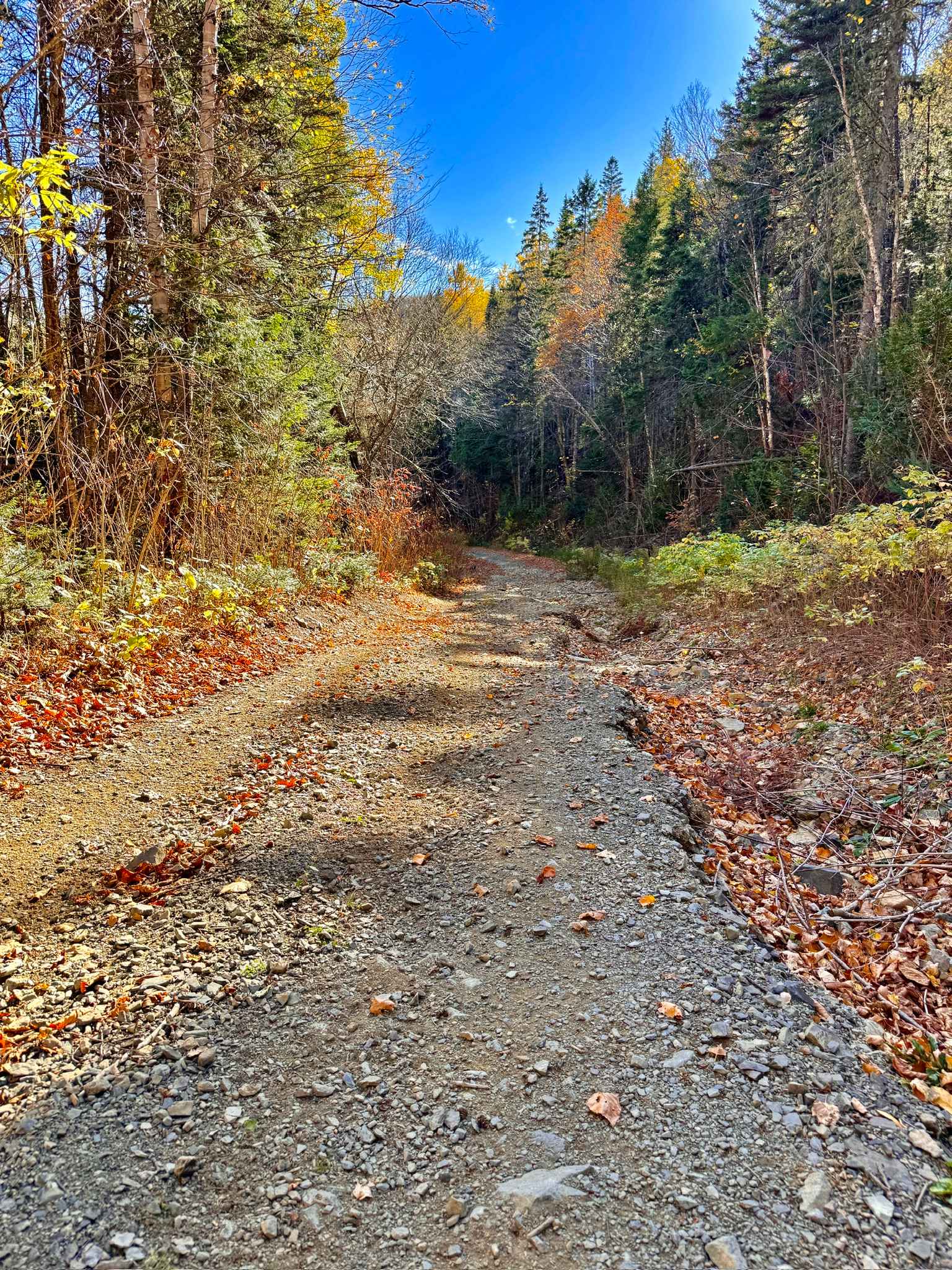
Trail Overview
Deep in the Crowne lands north of Milleville, taking the Mill road north towards Napadogan, this trail ends at an abandoned dam. It features many off-camber washouts, drops, and water crossings that are 24 inches or more deep, depending on what the beavers are up to.
Photos of The Irving Dam

Difficulty
Deep water crossings, washed out trails
Status Reports
The Irving Dam can be accessed by the following ride types:
- High-Clearance 4x4
- SUV
- SxS (60")
- ATV (50")
- Dirt Bike
The Irving Dam Map
Popular Trails

Douglas Pit Ascent
Penniac Gas Line
Lower Stone Ridge Rock Pit
Upper Nine Mile Pool Access
The onX Offroad Difference
onX Offroad combines trail photos, descriptions, difficulty ratings, width restrictions, seasonality, and more in a user-friendly interface. Available on all devices, with offline access and full compatibility with CarPlay and Android Auto. Discover what you’re missing today!