Douglas Clear Cut Bypass
Total Kilometers
3.6
Technical Rating
Best Time
Winter, Fall, Summer
Trail Type
Full-Width Road
Accessible By
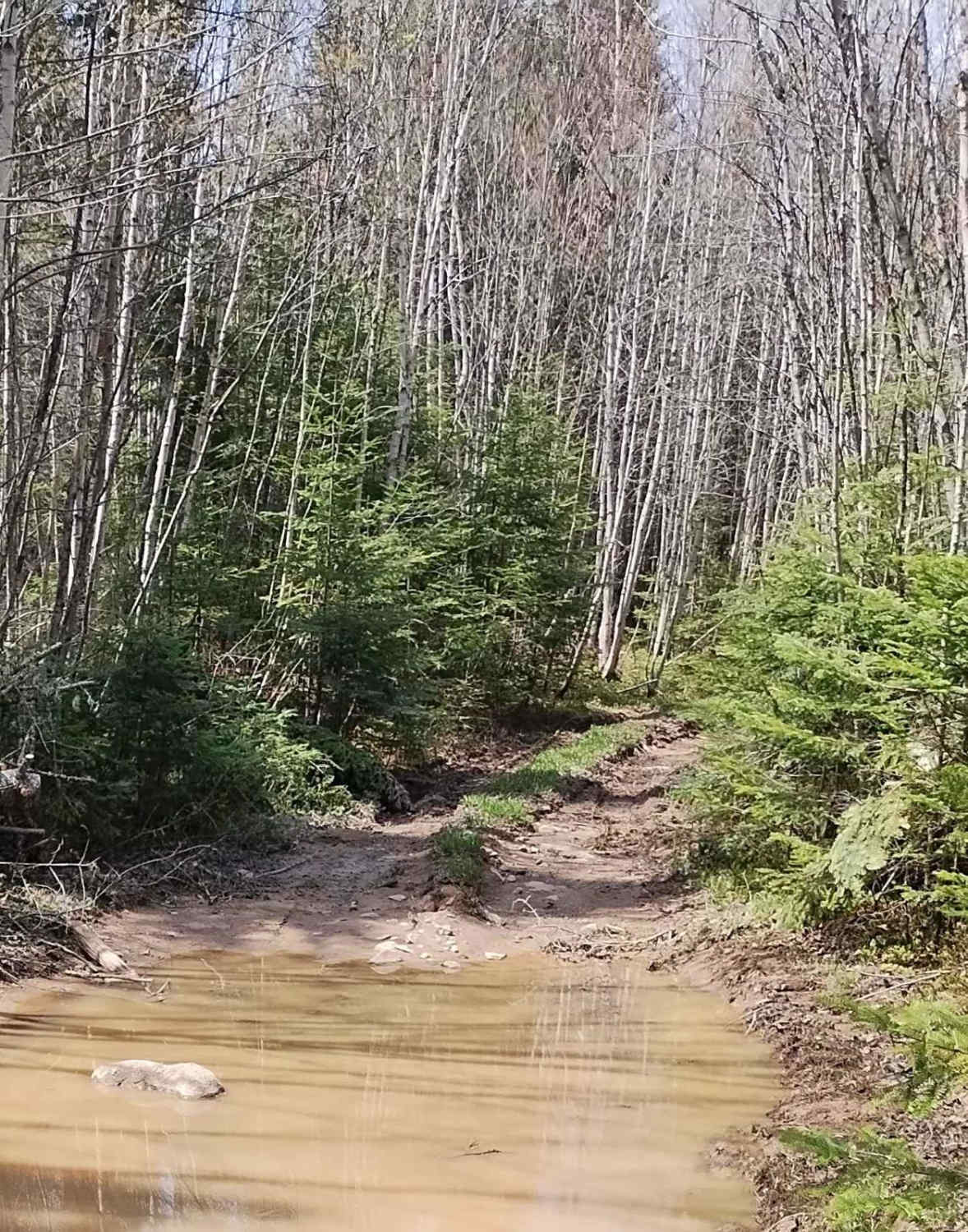
Trail Overview
This spur comes off of the hydro line near the Douglas Logging Road Loop. A steady ascent to the top of the hill, it features washouts, steep inclines, and many bedrock slabs that you might need to bump your way up in a full-sized 4x4. It eventually connects to the hydro line and the end of the Claudie Road.
Photos of Douglas Clear Cut Bypass

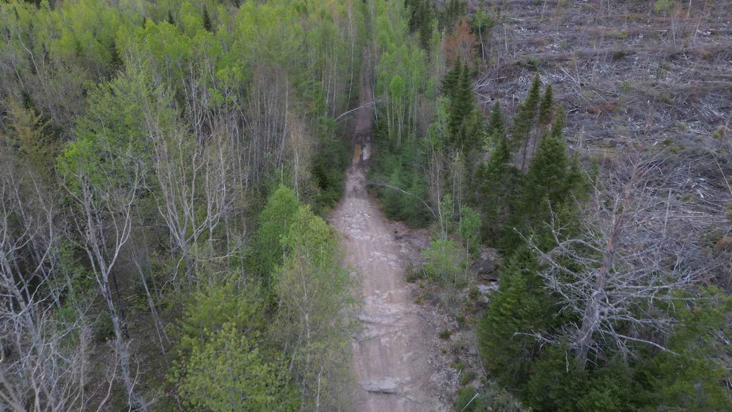
Difficulty
There are some washouts with bedrock that add to the difficulty.
Status Reports
Douglas Clear Cut Bypass can be accessed by the following ride types:
- High-Clearance 4x4
- SUV
- SxS (60")
- ATV (50")
- Dirt Bike
Douglas Clear Cut Bypass Map
Popular Trails

Lower Stone Ridge Pit Run

Coac Shortcut
Maclean Settlement Overgrown Spur

White Car Trail
The onX Offroad Difference
onX Offroad combines trail photos, descriptions, difficulty ratings, width restrictions, seasonality, and more in a user-friendly interface. Available on all devices, with offline access and full compatibility with CarPlay and Android Auto. Discover what you’re missing today!