Millville Plane Crash
Total Kilometers
13.6
Technical Rating
Best Time
Summer
Trail Type
Full-Width Road
Accessible By
Trail Overview
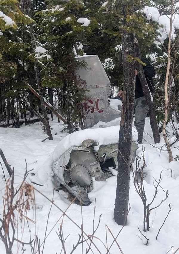
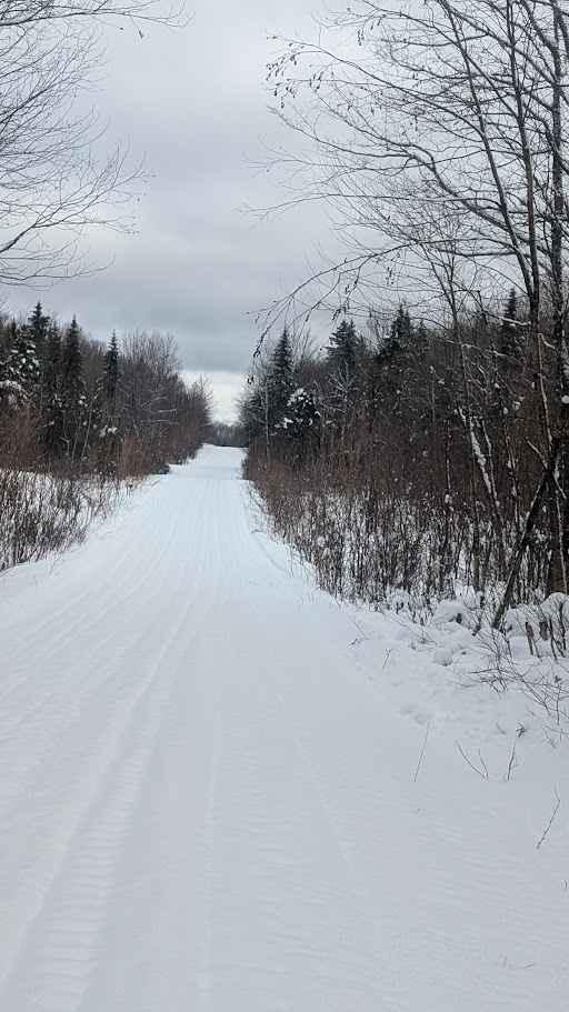
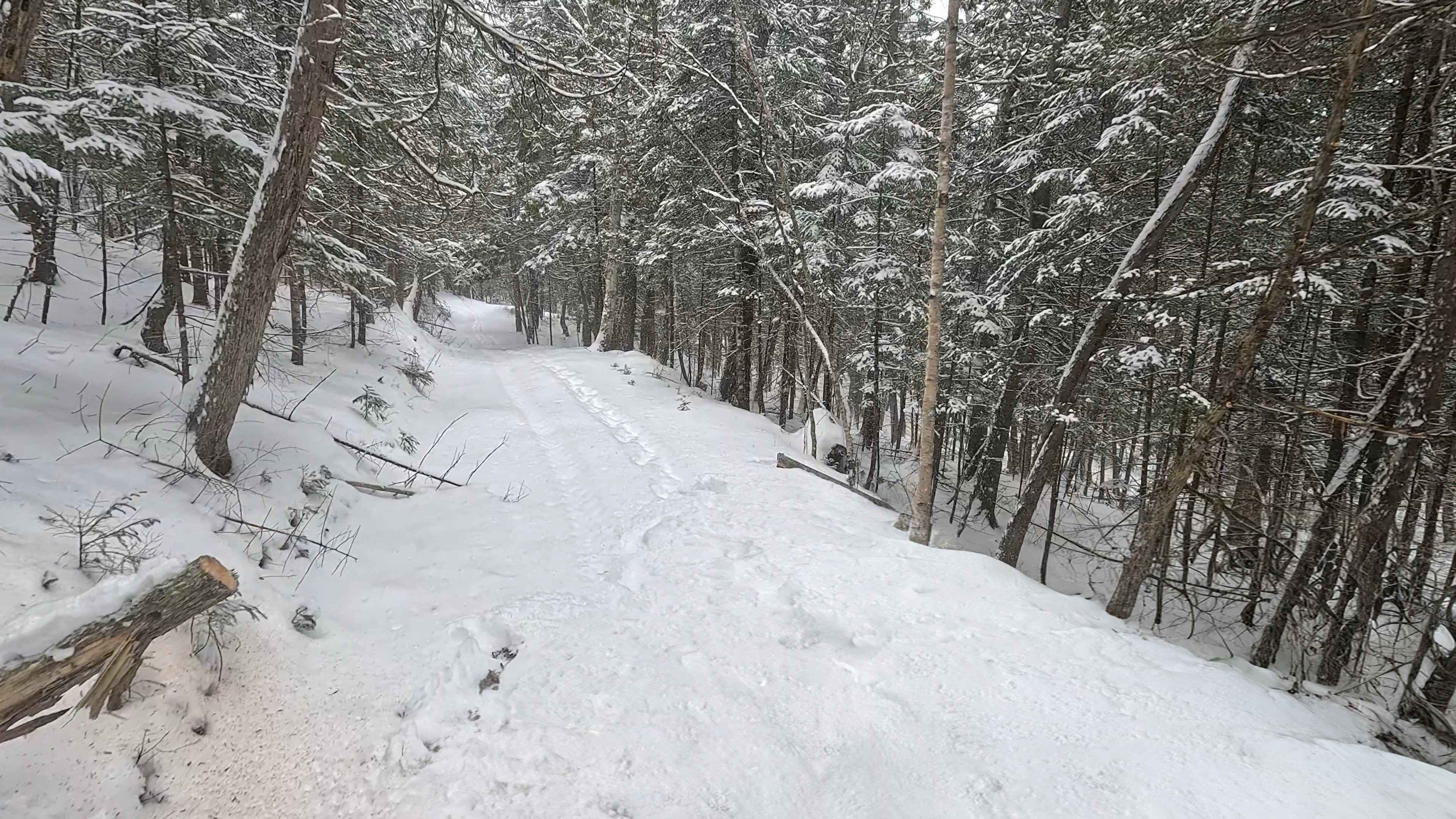
Heading west from Millville on the 104, you enter this trail through Becaguimac South Branch Road. It quickly turns into a track through Crowne woodlands. It is well maintained and very easy to traverse. This will eventually lead you to a plane crash from June 12, 1958. A plaque with information as well as signage is at the site with tons of information on the pilot and their passing.
Photos of Millville Plane Crash
Difficulty
This is a very easy dirt track through the woodlands.
Status Reports
Millville Plane Crash can be accessed by the following ride types:
- High-Clearance 4x4
- SUV
- SxS (60")
- ATV (50")
- Dirt Bike
Millville Plane Crash Map
Popular Trails
Rankine Road Pond Run

Sunshine Estates Trail
Dead Man's Shelf
The onX Offroad Difference
onX Offroad combines trail photos, descriptions, difficulty ratings, width restrictions, seasonality, and more in a user-friendly interface. Available on all devices, with offline access and full compatibility with CarPlay and Android Auto. Discover what you’re missing today!