Balancing Rock Winter Trail
Total Kilometers
14.2
Technical Rating
Best Time
Summer
Trail Type
Full-Width Road
Accessible By
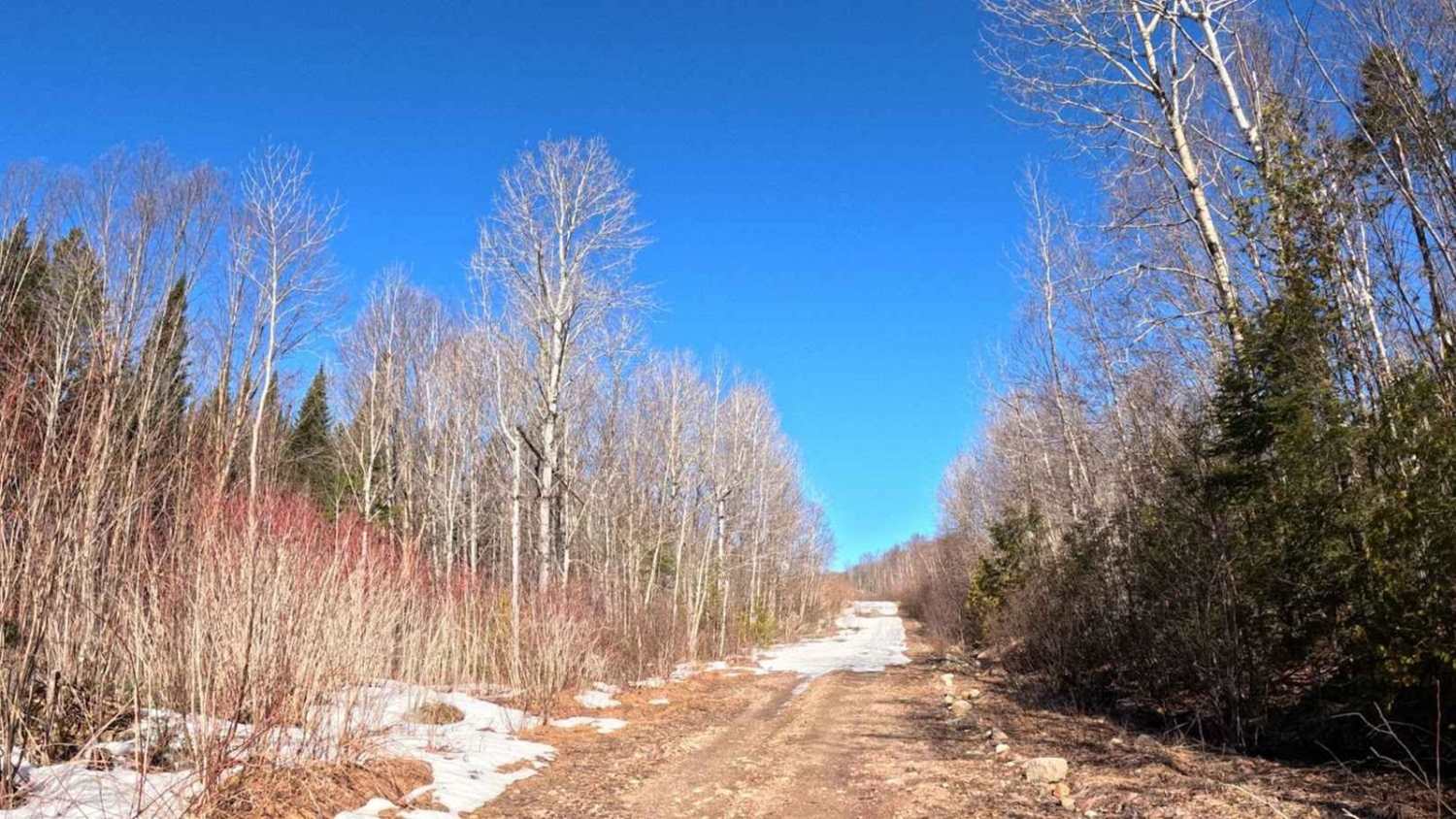
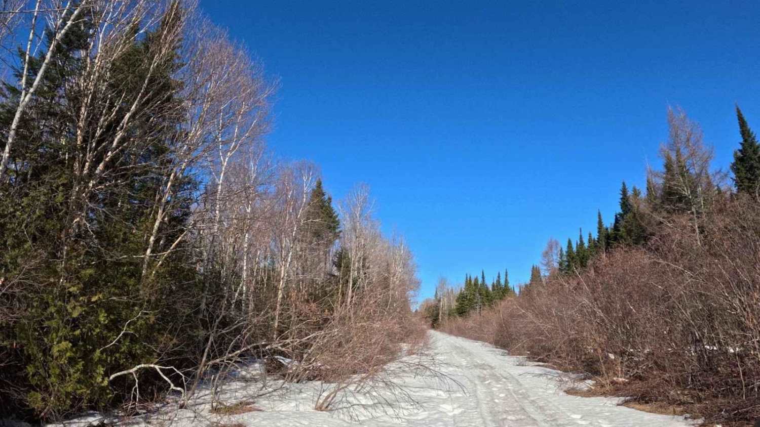
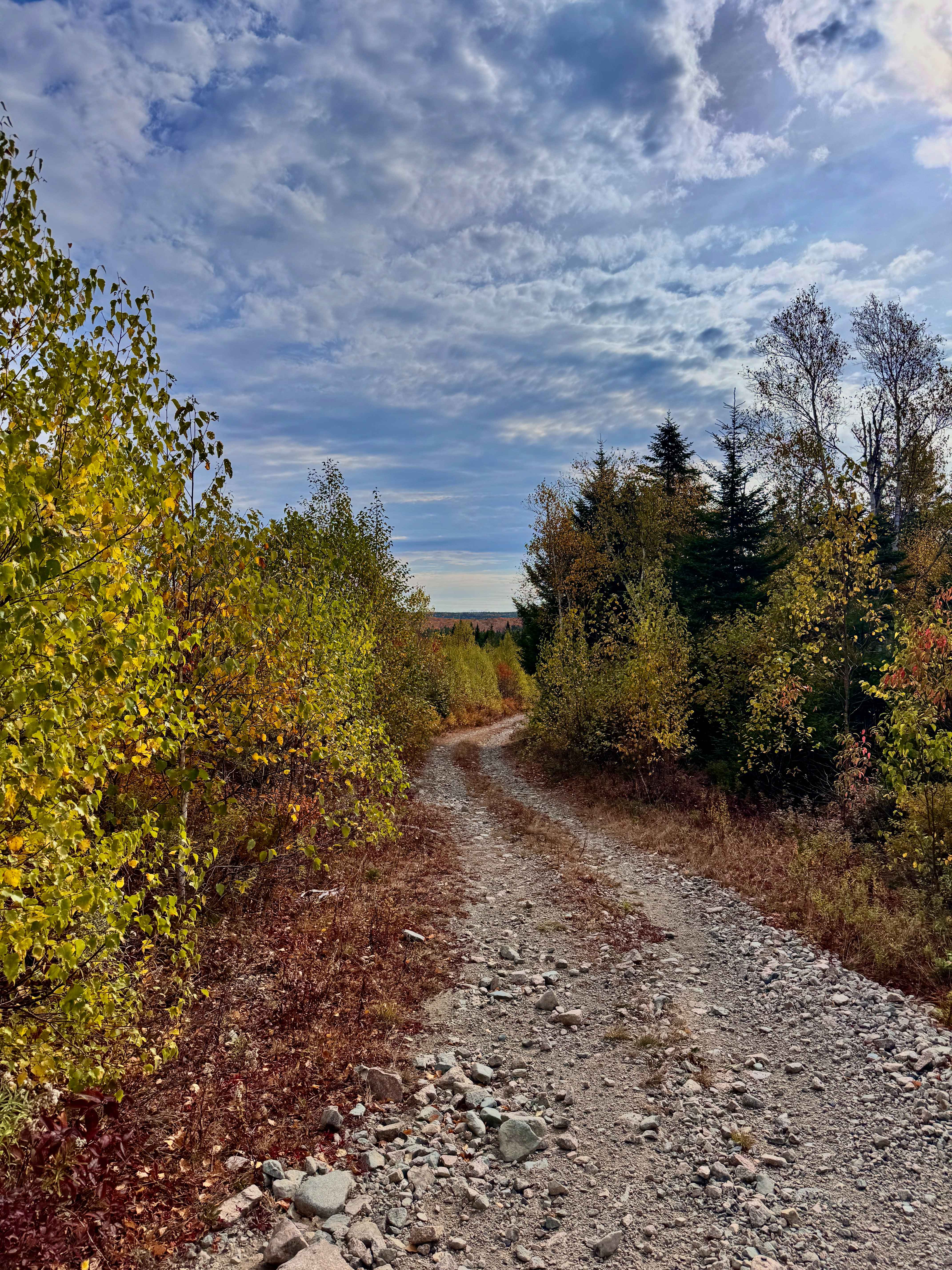
Trail Overview
During the winter months from December to April this is a snowmobile trail, but the rest of the year it is a great way to head West towards the Balancing Rock attraction and the Plane Crash site. Taking the Mill road North, just east of Milleville, NB will get you to the beginning of this track. It follows a deep valley with some great views of steep hills climbing from the gulley below the trail. The balancing rock hiking trail is on the Western end of this track.
Photos of Balancing Rock Winter Trail
Difficulty
This is a graded and well maintained woodland track.
Status Reports
Balancing Rock Winter Trail can be accessed by the following ride types:
- High-Clearance 4x4
- SUV
- SxS (60")
- ATV (50")
- Dirt Bike
Balancing Rock Winter Trail Map
Popular Trails

Claudie Road

White Car Trail
Shrub-Trim Pass
Sweeney Road Descent
The onX Offroad Difference
onX Offroad combines trail photos, descriptions, difficulty ratings, width restrictions, seasonality, and more in a user-friendly interface. Available on all devices, with offline access and full compatibility with CarPlay and Android Auto. Discover what you’re missing today!