Sweeney Road Descent
Total Kilometers
1.1
Technical Rating
Best Time
Summer
Trail Type
Full-Width Road
Accessible By
Trail Overview
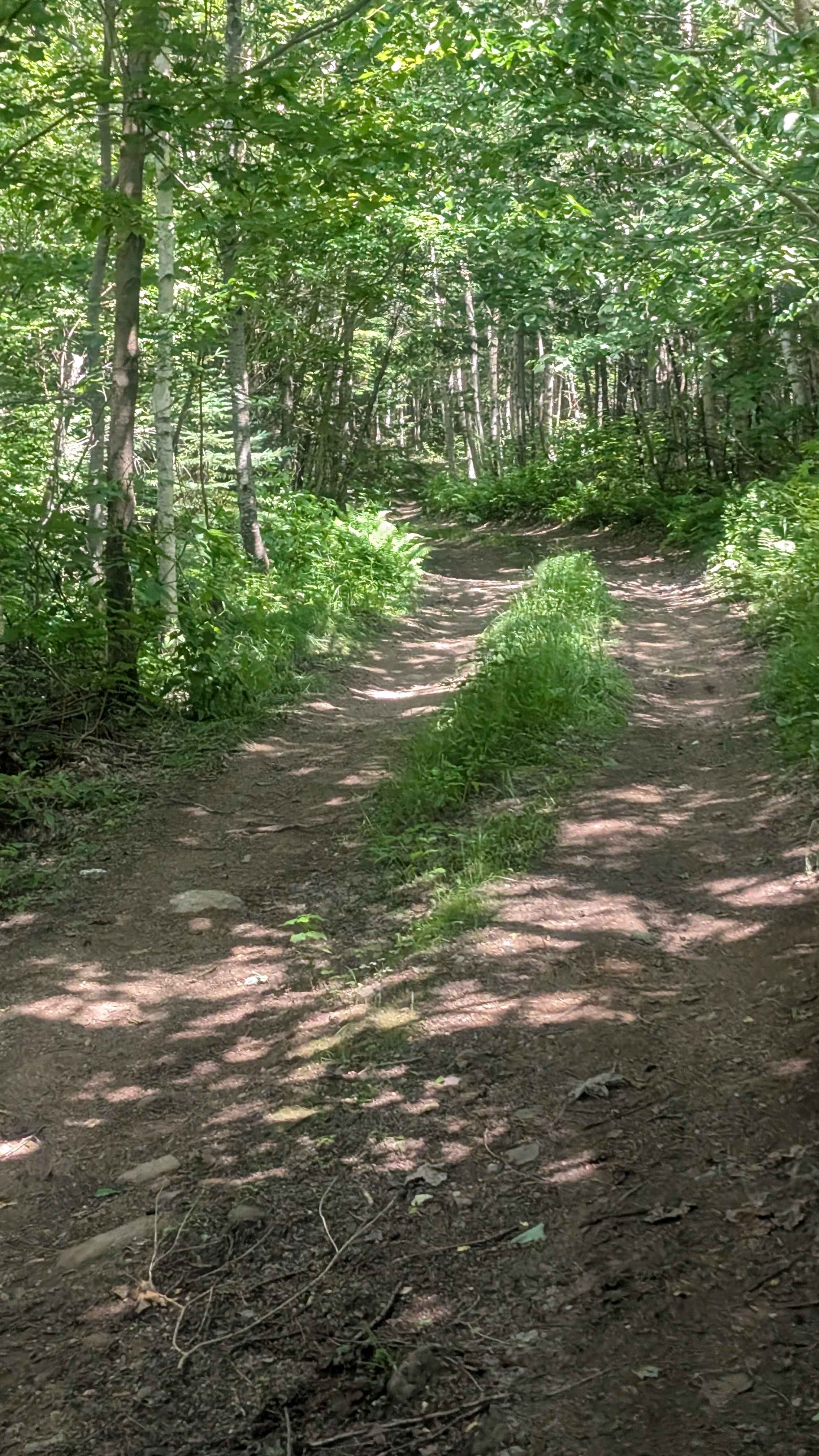
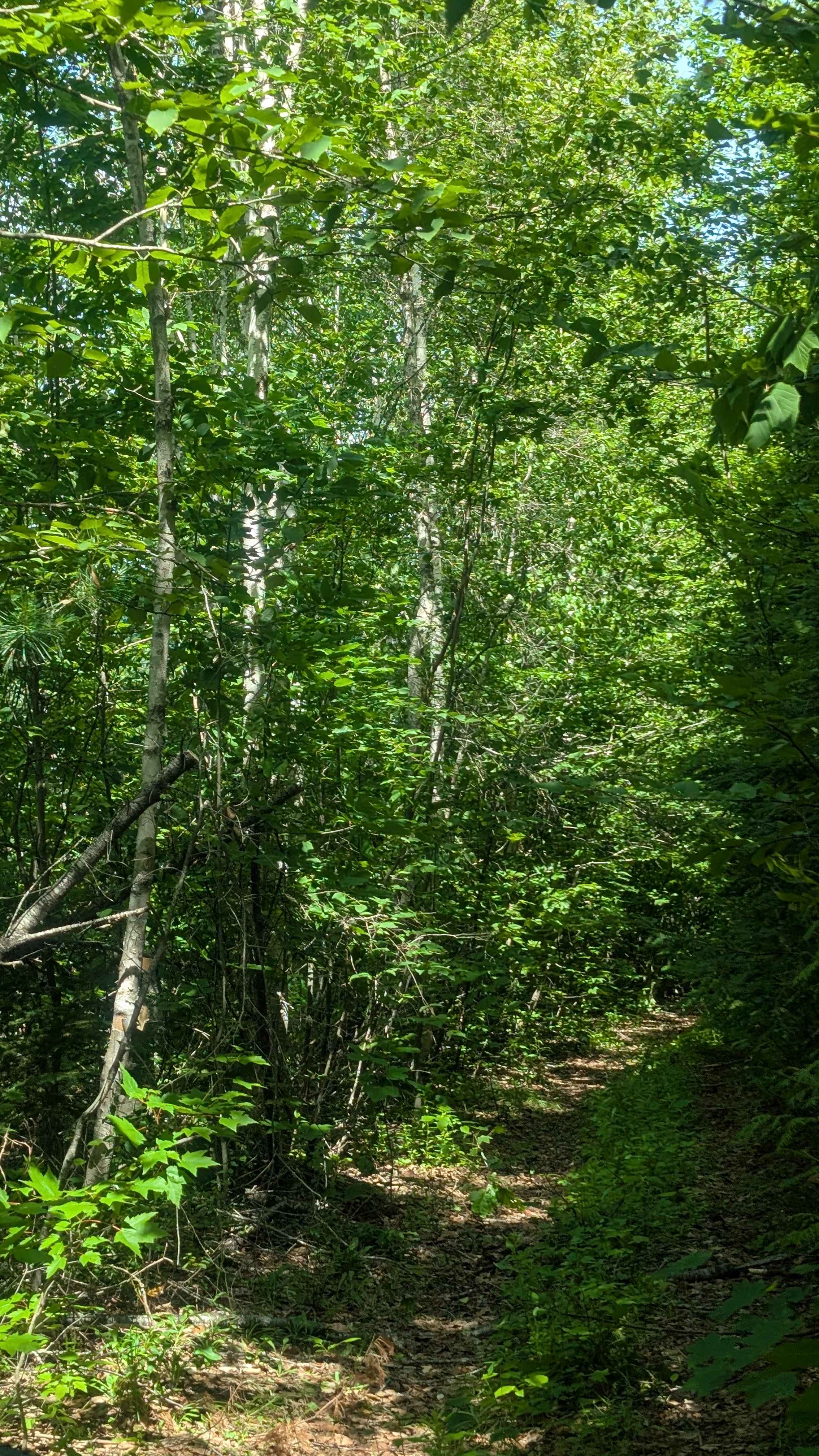
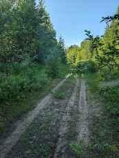
Head out to the end of Sweeney Road. Follow the tree line along the edge of the field, and you'll see this track diverge off to the left downhill. The beginning of the track narrows, and a full-sized rig might have a hard time getting around the first boulder. The trail has a few deep dips and mud holes for the first half of it before it descends down a steep left turn onto an old creek bed. At the end, there is a turnaround spot at a deep stream.
Photos of Sweeney Road Descent
Difficulty
This is a narrow path with washouts and pinch points along the ledge.
Status Reports
Sweeney Road Descent can be accessed by the following ride types:
- High-Clearance 4x4
- SUV
- SxS (60")
- ATV (50")
- Dirt Bike
Sweeney Road Descent Map
Popular Trails

Fall Brook Falls

Kingsley Winter Pass

Lower Stone Ridge Pit Run
Mill Bank Bend
The onX Offroad Difference
onX Offroad combines trail photos, descriptions, difficulty ratings, width restrictions, seasonality, and more in a user-friendly interface. Available on all devices, with offline access and full compatibility with CarPlay and Android Auto. Discover what you’re missing today!