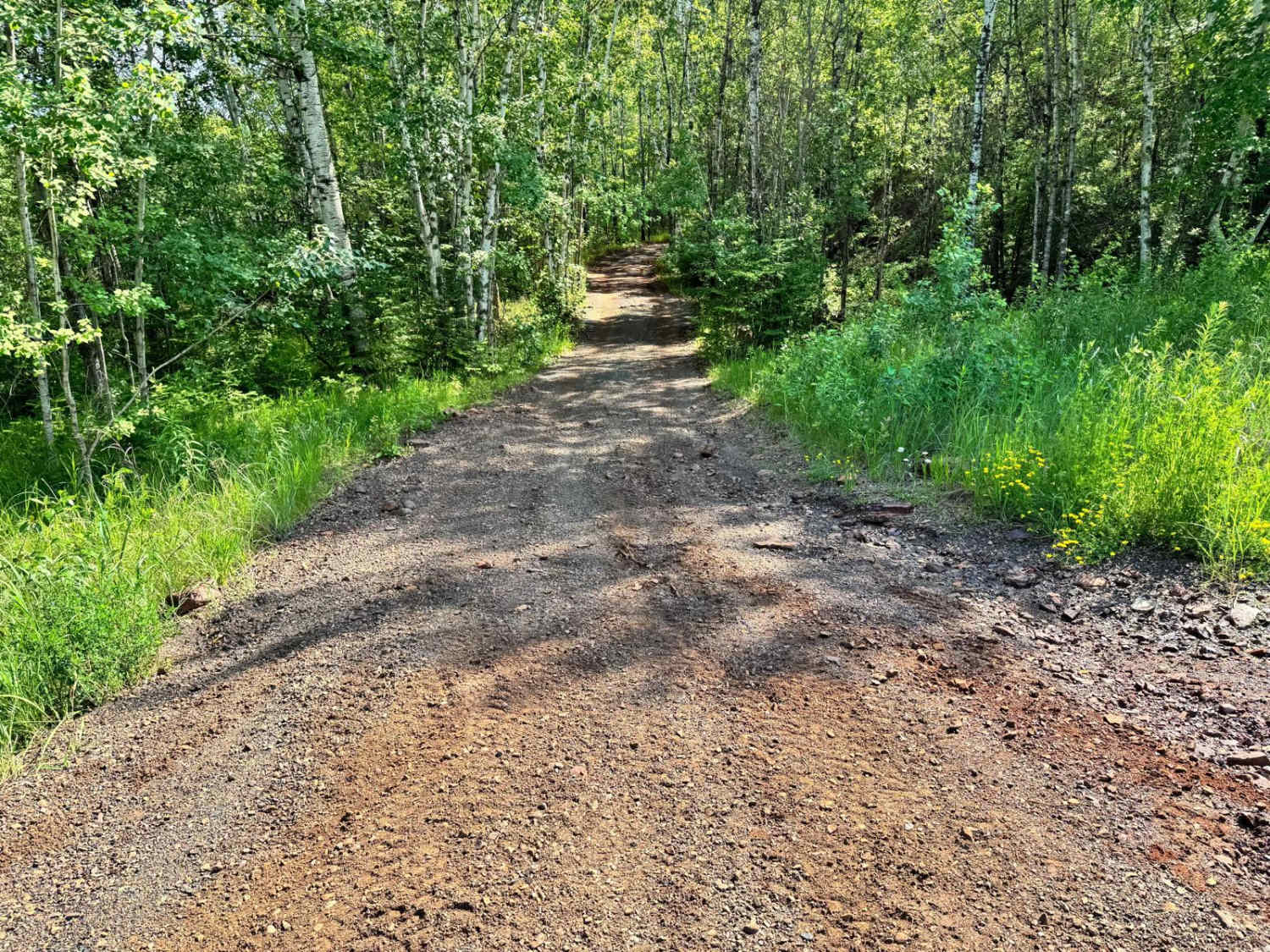
Off-Road Trails in Minnesota
Discover off-road trails in Minnesota
Learn more about Bednar Forest Road
Bednar Forest Road
Total Miles
10.4
Tech Rating
Easy
Best Time
Spring, Fall, Winter, Summer
Learn more about Bemis Hills Forest Road
Bemis Hills Forest Road
Total Miles
2.6
Tech Rating
Easy
Best Time
Summer, Fall, Winter, Spring
Learn more about Berry Creek
Berry Creek
Total Miles
3.0
Tech Rating
Easy
Best Time
Spring, Summer, Fall, Winter
Learn more about Biondich Road
Biondich Road
Total Miles
11.9
Tech Rating
Easy
Best Time
Spring, Summer, Winter, Fall
Learn more about Birch Lake
Birch Lake
Total Miles
1.2
Tech Rating
Easy
Best Time
Winter, Fall, Summer, Spring
Learn more about Birch Lake Access Road
Birch Lake Access Road
Total Miles
2.3
Tech Rating
Easy
Best Time
Summer, Fall, Winter, Spring

Learn more about Black Bird Road Northeast
Black Bird Road Northeast
Total Miles
2.0
Tech Rating
Easy
Best Time
Spring, Summer, Winter, Fall
Learn more about Blacks-Winner Forest Road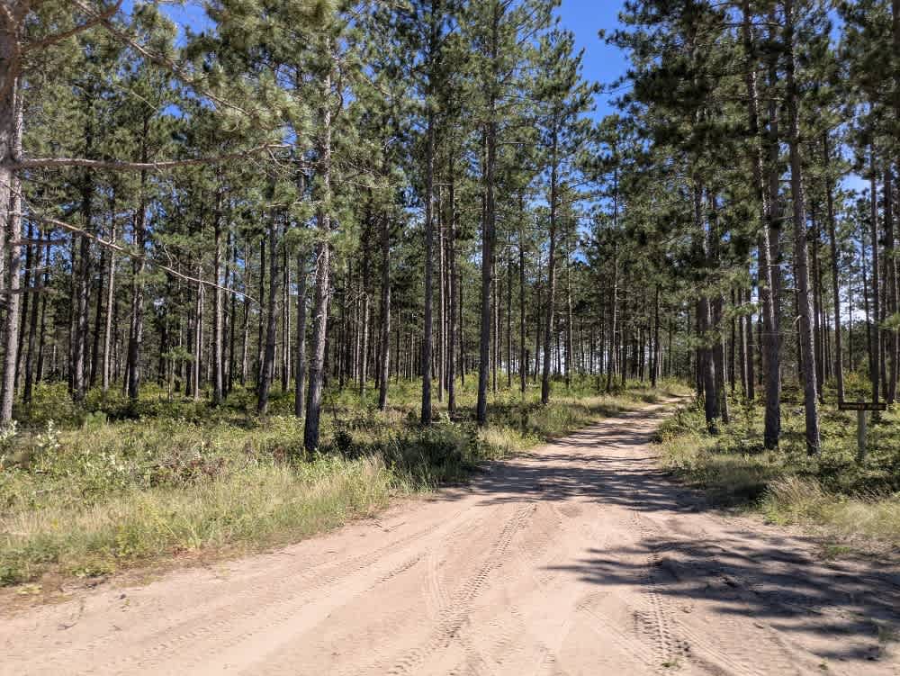
Blacks-Winner Forest Road
Total Miles
10.6
Tech Rating
Easy
Best Time
Spring, Summer, Fall, Winter
Learn more about Blind Lake Connector Trail - North 68
Blind Lake Connector Trail - North 68
Total Miles
8.4
Tech Rating
Easy
Best Time
Spring, Summer, Fall
Learn more about Blind Lake Connector Trail - South 68
Blind Lake Connector Trail - South 68
Total Miles
9.9
Tech Rating
Easy
Best Time
Spring, Summer, Fall
Learn more about Blind Lake Trail- East 106
Blind Lake Trail- East 106
Total Miles
8.1
Tech Rating
Easy
Best Time
Spring, Summer, Fall
Learn more about Blind Lake Trail- West 106
Blind Lake Trail- West 106
Total Miles
7.8
Tech Rating
Easy
Best Time
Spring, Summer, Fall
Learn more about Blue Ox Scenic Lake Road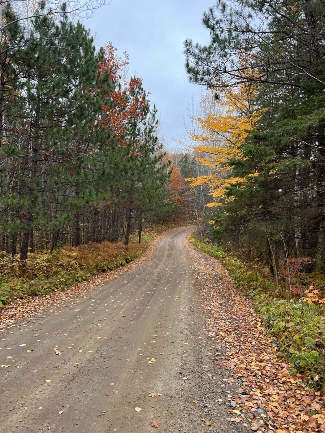
Blue Ox Scenic Lake Road
Total Miles
2.9
Tech Rating
Easy
Best Time
Spring, Summer, Fall
Learn more about Bogus Lake
Bogus Lake
Total Miles
1.3
Tech Rating
Easy
Best Time
Spring, Summer, Fall, Winter
Learn more about Boise Cascade
Boise Cascade
Total Miles
4.8
Tech Rating
Easy
Best Time
Spring, Summer, Fall, Winter
Learn more about Boulder Alley
Boulder Alley
Total Miles
0.2
Tech Rating
Moderate
Best Time
Spring, Summer, Fall
Learn more about Boulder Hill Trail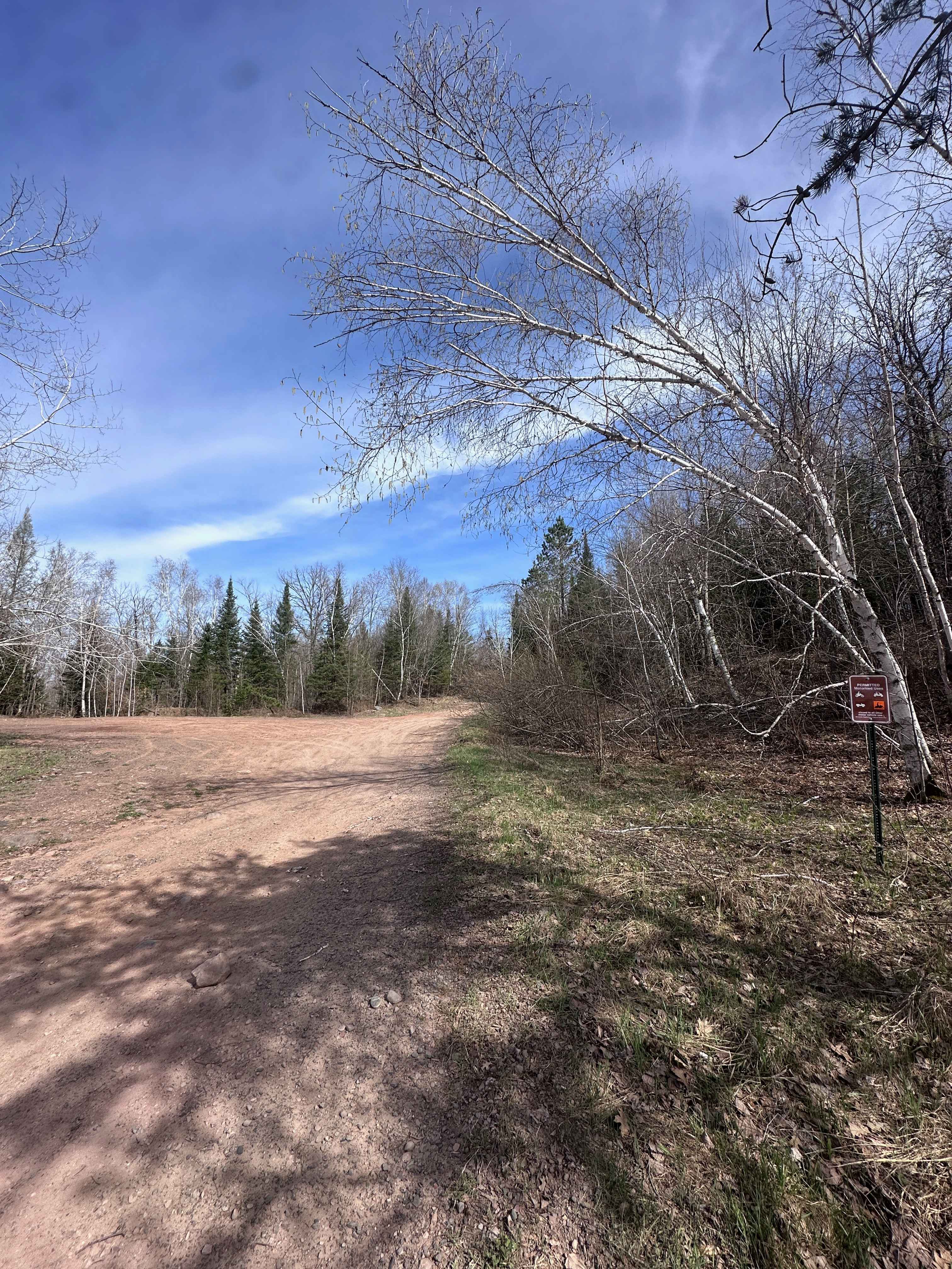
Boulder Hill Trail
Total Miles
0.6
Tech Rating
Moderate
Best Time
Spring, Summer, Fall

ATV trails in Minnesota


Learn more about 11th Street SW
11th Street SW
Total Miles
3.4
Tech Rating
Easy
Best Time
Spring, Fall, Summer, Winter
UTV/side-by-side trails in Minnesota
Learn more about 11th Street SW
11th Street SW
Total Miles
3.4
Tech Rating
Easy
Best Time
Spring, Fall, Summer, Winter
The onX Offroad Difference
onX Offroad combines trail photos, descriptions, difficulty ratings, width restrictions, seasonality, and more in a user-friendly interface. Available on all devices, with offline access and full compatibility with CarPlay and Android Auto. Discover what you’re missing today!