Blind Lake Trail- East 106
Total Miles
8.1
Technical Rating
Best Time
Spring, Summer, Fall
Trail Type
60" Trail
Accessible By
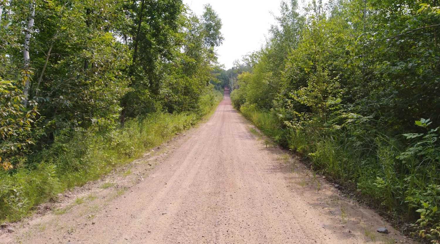
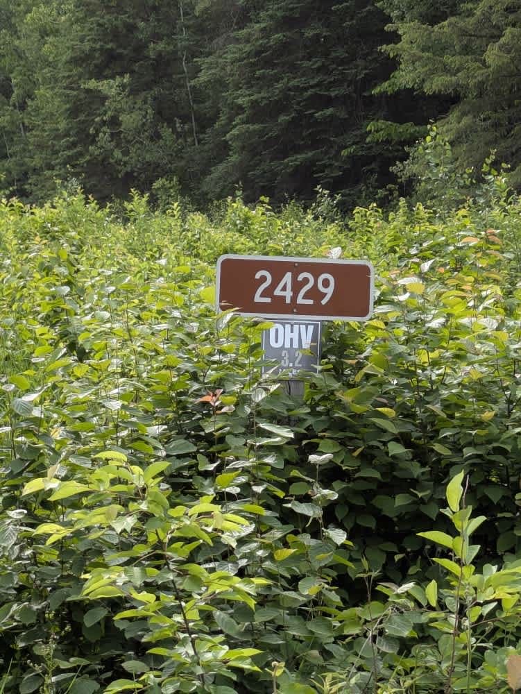
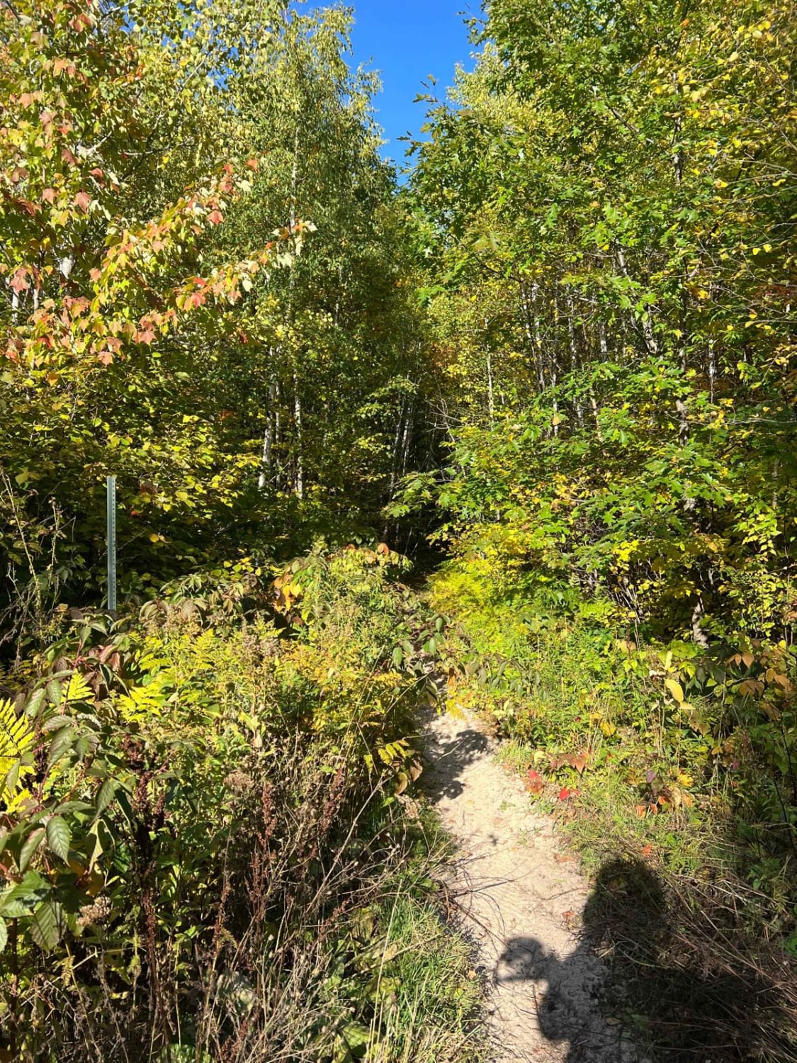
Trail Overview
This section of Blind Lake Trail (East of County Road 106) is mapped from the southern Crow Wing County Road 106 trail intersection (Lens Road) to the Blind Lake Trail. This section is 8.2 miles long and takes about 45 minutes including the time it took for trail pictures. This section will take you into Aitkin County as you near the end of Over the Hills Gang ATV Club area and enter the Blind Lake ATV Club area. The trail is a mostly wooded area with some lowland swampy areas and a few bridge crossings.
Photos of Blind Lake Trail- East 106

Difficulty
This is an easy trail, some lowland areas have ruts and used rubber tracks placed to help but there were no issues to cross when mapped. Some areas have "floating bridges" or boardwalk-type construction to get access through low areas. Trail width is the only reason for the difficulty rating of 2.
Status Reports
Blind Lake Trail- East 106 can be accessed by the following ride types:
- SxS (60")
- ATV (50")
- Dirt Bike
Blind Lake Trail- East 106 Map
Popular Trails


Paul Bunyan's Overgrown ATV Trail
The onX Offroad Difference
onX Offroad combines trail photos, descriptions, difficulty ratings, width restrictions, seasonality, and more in a user-friendly interface. Available on all devices, with offline access and full compatibility with CarPlay and Android Auto. Discover what you’re missing today!