
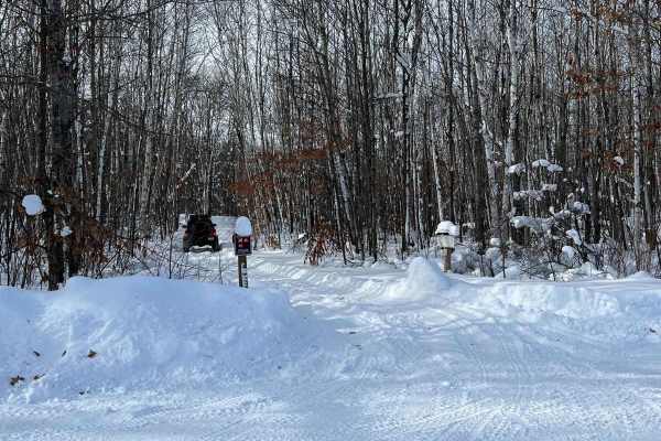
Off-Road Trails in Minnesota
Discover off-road trails in Minnesota
Off-Road Trails in Minnesota
Discover the best off-road trails in Minnesota. Browse trail maps, check difficulty ratings, and find your next adventure — whether you're looking for a quick ride or an all-day expedition.
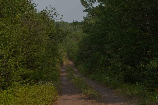
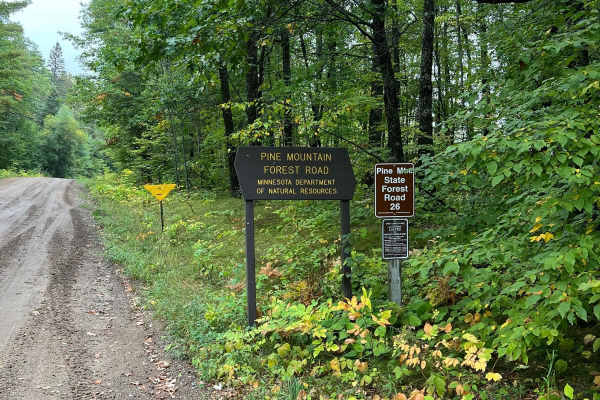
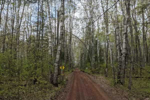
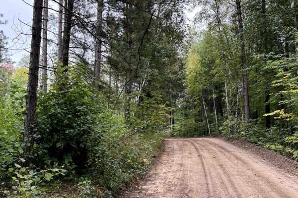
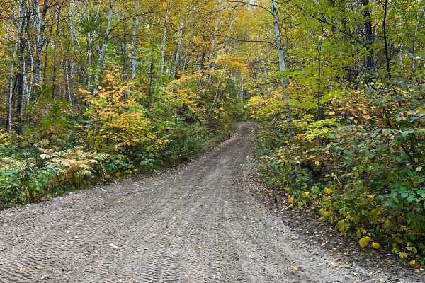
Pine Mountain Forest Road
A maintained gravel road with many spurs off of it. While the spurs can be narrow and heavily wooded, the main road is standard gravel with regular potholes and bumps, and wide enough to accommodate two lane traffic. There are several official forest service trails that fork off the main road, these...
Learn more about Pine Mountain Forest Road
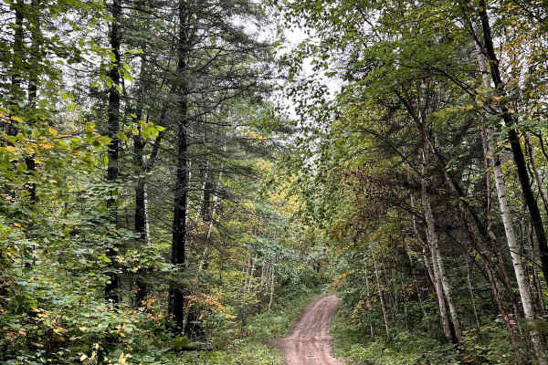
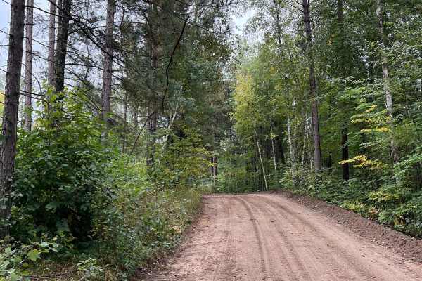
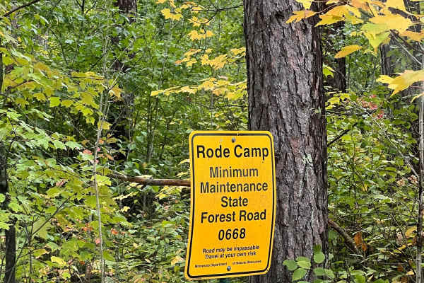
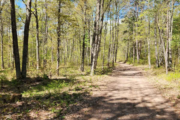
Thompson Minimum Maintenance Forest Road
Typical narrow minimum maintenance forest road. Some areas of rough mud and gravel. Overall nothing to really be worried about even in a stock SUV. There may be extra water or down branches depending on the weather. Typically 1-2 cars wide or space to pull off to get around other vehicles. Pine Moun...
Learn more about Thompson Minimum Maintenance Forest Road
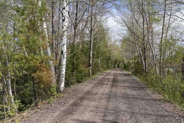
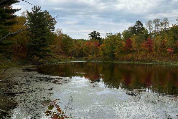
Spider Lake North State Forestry Rd
This is a smooth well maintained forest road with access to some small lakes and dispersed camping. This road continues on to connect with perch lake minimum maintenance forest road which has some other really pretty lakes and camping spots. The road is primarily sand and gravel and seems to be grad...
Learn more about Spider Lake North State Forestry Rd
Paul Bunyan North Loop Saga
This is the longest single section of the dirt biking trail at Paul Bunyan State Forest. Though there are some small sections to hop off the trail, it's generally continuous. There are many inclines and declines throughout the trail with some large rocks and roots that typically cross the trail;they...
Learn more about Paul Bunyan North Loop Saga
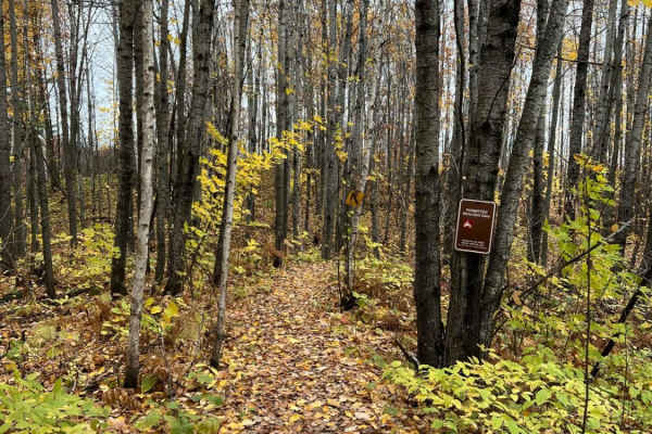
Park Forest, Potlatch, and Hilton Trails
This route is an out-and-back starting from the Gandy Dancer Trail and traversing through the heart of Nemadji State Forest. The route begins at the Park Forest Trail and eventually becomes the Potlatch Trail. The Potlatch is a fun dirt trail that features several standing water areas that can get b...
Learn more about Park Forest, Potlatch, and Hilton Trails
Bunyan Biker Brawl
This trail is shockingly windy and long. It is also possibly the most challenging dirt bike trail in Paul Bunyan State Forest. There are many steep hill climbs and declines that do not last incredibly long but have hard rocks or roots to traverse which will require good balance or courage. Some area...
Learn more about Bunyan Biker Brawl
17
Trail 17 from Hurley to Mercer is an easy, railroad-grade trail that's well maintained. The trail follows most of the snowmobile trail 17, with some exceptions where it follows dirt or paved road for short sections. A great family ride. Tons of places to visit and explore along the way. Signs along ...
Learn more about 17
Core Trail
This is a dirt trail with tons of rocks. Most of the trail is open to all uses, but the stretch from Eveleth and Virginia to the main trail is only open to ATVs and OHM. It has a great overlook. Great way to get from Virginia to the OHV park. If on an ATV or OHM, the bridge over the query has some a...
Learn more about Core Trail
Bull Run Trail
Bull Moose Trail is an incredibly beautiful forest road with access to many activities besides trail riding. This road provides fishing access to two different backwoods lakes and plenty of dispersed camping. One lake has a small beach and appears to be fairly deep. The drive out to the two lakes at...
Learn more about Bull Run Trail
Bull Run Trail Extension
This section of road seems to be tended to on occasion. Regardless, its a fairly wide trail with a few shoot off trails and campsites. One trail shoots off and connects up with a very long dirt bike/ATV trail. Overall the trail is tame with some pretty evergreens and small lakes. Note on Trail Ridin...
Learn more about Bull Run Trail Extension
Bull Moose Trail
This trail connects forest roads from Spider Lake to Foot Hills State Forest. This minimum maintenance road is a little narrower in spots, overgrown with grass in spots, and I presume pretty fun in the winter. You will see lots of Northern Minnesota scenery. Note on Trail Riding in MN: Many trails h...
Learn more about Bull Moose Trail
Paul Bunyan Single Track West Loop
This trail is one of the most diverse at Paul Bunyan State Forest. There are so many different types of woods and trail styles you typically see in Minnesota. There are sections that are quite flowy, then it will transition to super rocky, then tons of tree roots. There are some steep inclines and d...
Learn more about Paul Bunyan Single Track West Loop
Paul Bunyan South River Rd
Really nice cruising trail with some rocks and roots but overall tame. The trail widens and narrows to about the size of a SxS. Some technical spots on other trails to access this one from the parking lots but this trail is good fun with nice views of water and northern Minnesota forest. General Not...
Learn more about Paul Bunyan South River Rd
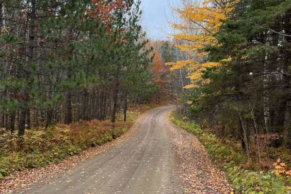
Parkway Forest Road
Parkway Forest Road is a gentle gravel forest road that splits the eastern section of Paul Bunyan State Forest in half. It stretches over 8 miles, connecting County Road 39 and County Road 23. There are many dispersed campsites along the road, with several large enough for groups to spread out on. R...
Learn more about Parkway Forest Road
Tuscobia State Trail - Park Falls to Loretta
The Tuscobia State Trail runs a total of 74 Miles. This leg is 19 miles but connects to a massive trail system that you can jump onto at a bunch of different intersections. There are a few more stops than normal due to all of those intersections, but it is worth it if you want a day of exploring the...
Learn more about Tuscobia State Trail - Park Falls to Loretta
East Steamboat Lake Road
East Steamboat Lake Road is one of the main arteries in the eastern half of Paul Bunyan State Forest. It is a gentle, wide, and well-maintained gravel road. Use it to cruise the forest or to connect to several of the single-track or ATV trails along the way. There are several dispersed campsites alo...
Learn more about East Steamboat Lake Road
Spider Lake
This trail is a nice test loop during the winter to see if you should really venture around spider lake while winter wheeling. On the day we visited, there were 8-12 inches of fresh snow, and rigs on 3" lifts and 33" tires were struggling some. This time though it was primarily about sticking to the...
Learn more about Spider Lake
Round River Dr. Dirt Bike Short Cut
This is a really short jaunt that dirt bikers are required to take because some of the trails in this area are pretty well specified for certain types. Some water and close trees on this root but overall easy. There are a fair number of roots so when wet these could be slippery and tippy. A couple o...
Learn more about Round River Dr. Dirt Bike Short Cut
West Turtle Lake Loop Trail
This is a minimal/no maintenance trail in the Northwest quadrant of Chippewa National Forest, Trail # 2513. High Clearance, low range transfer case, and winch recommended. A vehicle shouldn't be too tall as there can be significant low-hanging branches and fallen trees. This trail will touch your to...
Learn more about West Turtle Lake Loop Trail
Paul Bunyan's Smooth Backwoods Cruise
This trail is quite smooth and flowy as we call it. You are able to go somewhat fast without many bumps. The trail is narrower in spots but overall a wider trail with the occasional roots and rocks but nothing nagging. Not much water. A few challenging spots and a few inclines and declines but overa...
Learn more about Paul Bunyan's Smooth Backwoods Cruise
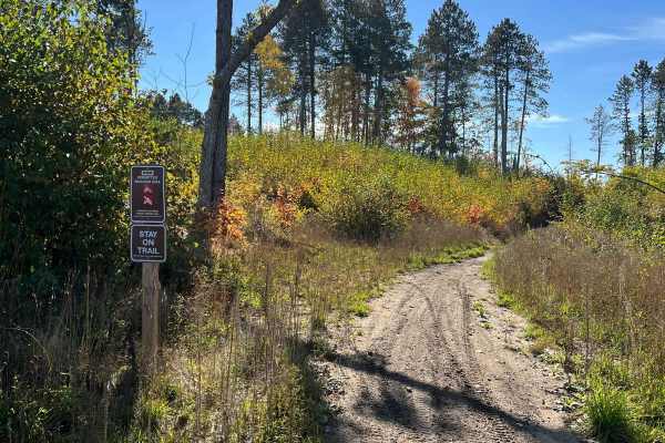
ATV trails in Minnesota
Explore ATV-friendly trails in Minnesota. These trails are accessible for vehicles up to 50 inches wide, perfect for ATVs and smaller off-road machines.
Pine Mountain Forest Road
A maintained gravel road with many spurs off of it. While the spurs can be narrow and heavily wooded, the main road is standard gravel with regular potholes and bumps, and wide enough to accommodate two lane traffic. There are several official forest service trails that fork off the main road, these...
Learn more about Pine Mountain Forest Road
Thompson Minimum Maintenance Forest Road
Typical narrow minimum maintenance forest road. Some areas of rough mud and gravel. Overall nothing to really be worried about even in a stock SUV. There may be extra water or down branches depending on the weather. Typically 1-2 cars wide or space to pull off to get around other vehicles. Pine Moun...
Learn more about Thompson Minimum Maintenance Forest Road
Spider Lake North State Forestry Rd
This is a smooth well maintained forest road with access to some small lakes and dispersed camping. This road continues on to connect with perch lake minimum maintenance forest road which has some other really pretty lakes and camping spots. The road is primarily sand and gravel and seems to be grad...
Learn more about Spider Lake North State Forestry Rd
Park Forest, Potlatch, and Hilton Trails
This route is an out-and-back starting from the Gandy Dancer Trail and traversing through the heart of Nemadji State Forest. The route begins at the Park Forest Trail and eventually becomes the Potlatch Trail. The Potlatch is a fun dirt trail that features several standing water areas that can get b...
Learn more about Park Forest, Potlatch, and Hilton Trails
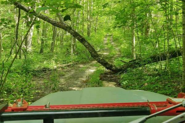
UTV/side-by-side trails in Minnesota
Find UTV and side-by-side trails in Minnesota. These trails accommodate vehicles up to 60 inches wide, ideal for UTVs, side-by-sides, and wider off-road rigs.
Pine Mountain Forest Road
A maintained gravel road with many spurs off of it. While the spurs can be narrow and heavily wooded, the main road is standard gravel with regular potholes and bumps, and wide enough to accommodate two lane traffic. There are several official forest service trails that fork off the main road, these...
Learn more about Pine Mountain Forest Road
Thompson Minimum Maintenance Forest Road
Typical narrow minimum maintenance forest road. Some areas of rough mud and gravel. Overall nothing to really be worried about even in a stock SUV. There may be extra water or down branches depending on the weather. Typically 1-2 cars wide or space to pull off to get around other vehicles. Pine Moun...
Learn more about Thompson Minimum Maintenance Forest Road
Spider Lake North State Forestry Rd
This is a smooth well maintained forest road with access to some small lakes and dispersed camping. This road continues on to connect with perch lake minimum maintenance forest road which has some other really pretty lakes and camping spots. The road is primarily sand and gravel and seems to be grad...
Learn more about Spider Lake North State Forestry Rd
Park Forest, Potlatch, and Hilton Trails
This route is an out-and-back starting from the Gandy Dancer Trail and traversing through the heart of Nemadji State Forest. The route begins at the Park Forest Trail and eventually becomes the Potlatch Trail. The Potlatch is a fun dirt trail that features several standing water areas that can get b...
Learn more about Park Forest, Potlatch, and Hilton Trails
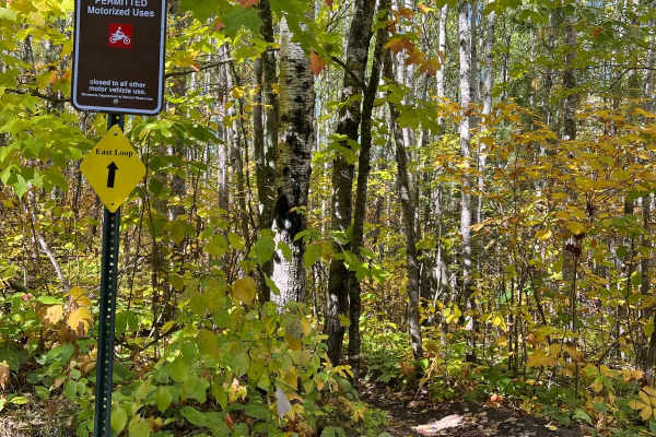
The onX Offroad Difference
onX Offroad combines trail photos, descriptions, difficulty ratings, width restrictions, seasonality, and more in a user-friendly interface. Available on all devices, with offline access and full compatibility with CarPlay and Android Auto. Discover what you're missing today!
Open Trail Map