Blind Lake Trail- West 106
Total Miles
7.8
Technical Rating
Best Time
Spring, Summer, Fall
Trail Type
60" Trail
Accessible By
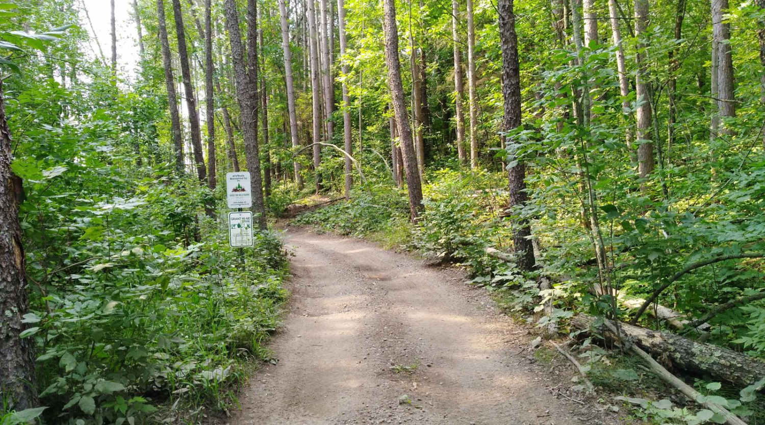
Trail Overview
This section of Blind Lake Trail (West of County Road 106) is mapped from Bloomquist Drive. ATV parking lot in Emily to the southern Crow Wing County Road 106 trail intersection. This section is 7.9 miles long and takes about an hour including the time it took for trail pictures and a stop at the Selfie Station put up by Over The Hills Gang ATV Club with funding made possible by MN ATV Riders. The trail is easy to follow with some road ditches, gravel roads, and dirt trails that cross open areas, wooded areas, and lowland swamp areas. Please use extra care and respect for property in residential areas along the first part of this section. (It is about 2 miles from the parking lot to the SE part of Lake Emily and the Pine River where the residential area ends. Also note, if northbound traveling towards Emily don't miss the turn NW off County Road 106 at 46.7160278, -93.8761944. If southbound towards Blind Lake Trails and the Soo Line Trail don't miss the east turn off County Road 106 onto Lens Road. There is an ATV trail information kiosk at the County Road 106 and Lens Road intersection. (46.7024167, -093.8768056)
Photos of Blind Lake Trail- West 106

Difficulty
This is an easy trail, sections of the trail are shared with automobile traffic on county roads. Some lowland areas have ruts and used rubber tracks placed to help but there were no issues to cross when mapped. Some areas have "floating bridges" or boardwalk-type construction to get access through low areas. Trail width is the only reason for the difficulty rating of 3.
Status Reports
Blind Lake Trail- West 106 can be accessed by the following ride types:
- SxS (60")
- ATV (50")
- Dirt Bike
Blind Lake Trail- West 106 Map
Popular Trails
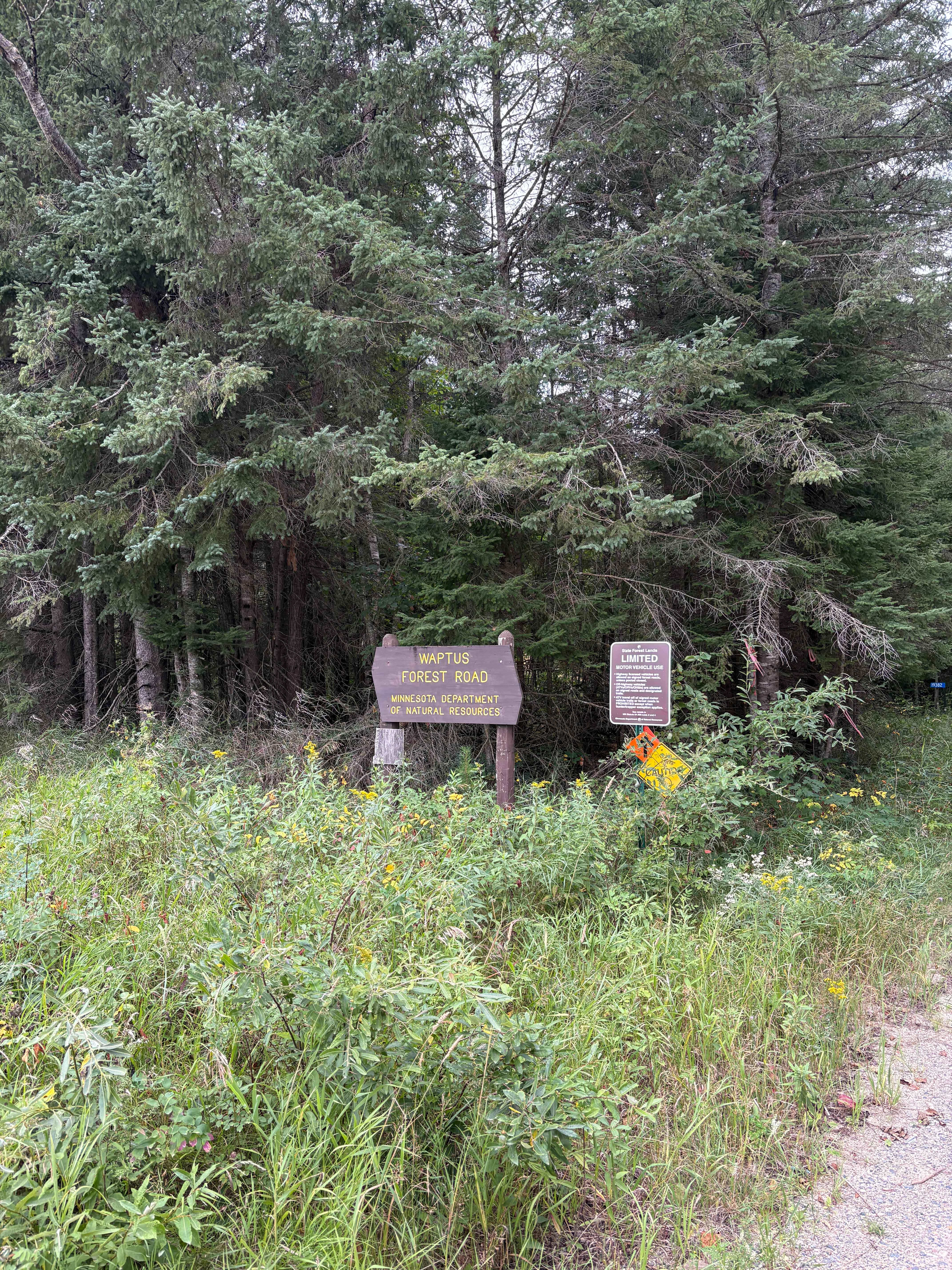
Waptus Forest Road

East Range Multi-Use Trail
Little Creek Road

Forest Service Road 451
The onX Offroad Difference
onX Offroad combines trail photos, descriptions, difficulty ratings, width restrictions, seasonality, and more in a user-friendly interface. Available on all devices, with offline access and full compatibility with CarPlay and Android Auto. Discover what you’re missing today!