113
Total Miles
15.8
Technical Rating
Best Time
Spring, Summer, Fall, Winter
Trail Type
Full-Width Road
Accessible By
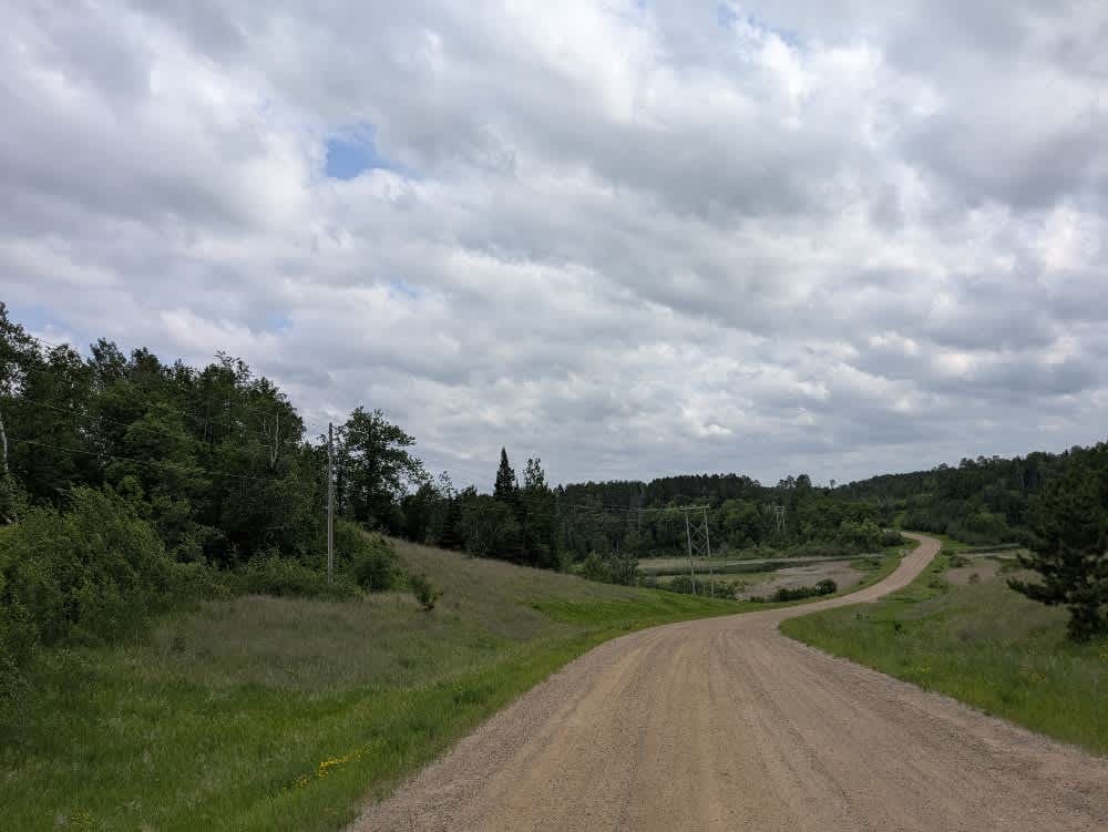
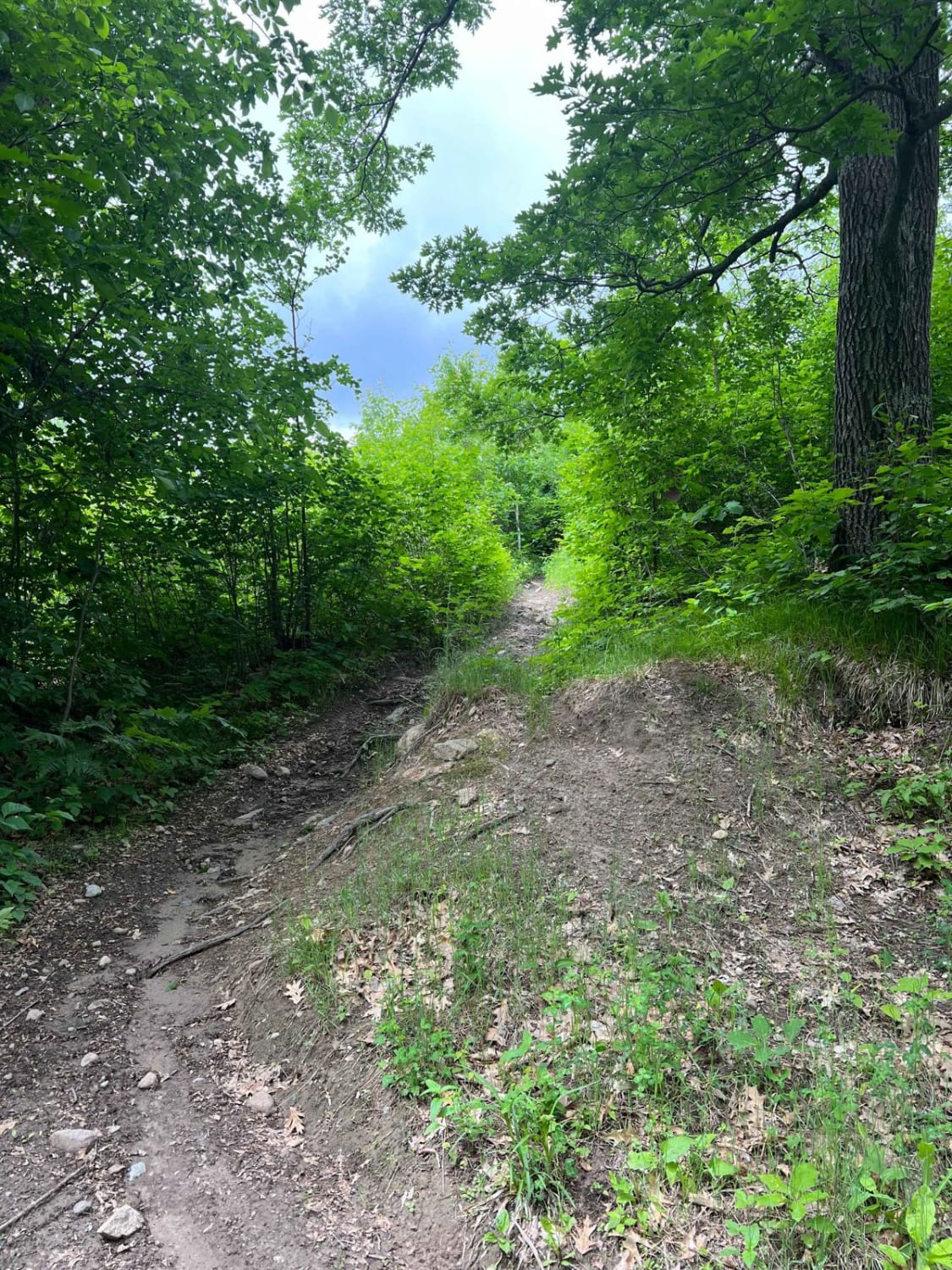
Trail Overview
This scenic trail begins at Dunka River Road and winds its way through a mix of dense forest and open clearings. The first half of the route is relatively well-maintained gravel, though it's marked by protruding rocks, potholes, and frequent puddles. Numerous side trails branch off--some marked, others not--and there are several pull-offs and small parking areas where ATVs and side-by-sides are often offloaded. Expect increased traffic on weekends. After crossing the railway, the forest thickens noticeably, the trail narrows, and the surface becomes rougher with more bumps, curves, and elevation changes. Several clearings appear along the way, one of which may serve as a practical spot for parking or dispersed camping. Beyond this point, the trail flattens again and transitions to fine gray gravel, skirting a large section of forest that has been heavily burned. There are no established campsites or services along this trail, and users should be prepared for limited cell reception and no water or waste facilities.
Photos of 113


Difficulty
The trail is initially well-maintained, with potholes and frequent puddles in the rainy season. However, after passing the rail tracks, the surface becomes rougher but eventually flattens out again.
Status Reports
113 can be accessed by the following ride types:
- High-Clearance 4x4
- SUV
- SxS (60")
- ATV (50")
- Dirt Bike
113 Map
Popular Trails
County Road 50

Plantation Loop

76th Avenue Northeast / East Lake Rice Spur
Paul Bunyan NW Starter
The onX Offroad Difference
onX Offroad combines trail photos, descriptions, difficulty ratings, width restrictions, seasonality, and more in a user-friendly interface. Available on all devices, with offline access and full compatibility with CarPlay and Android Auto. Discover what you’re missing today!