Off-Road Trails in Minnesota
Discover off-road trails in Minnesota
Learn more about Soo Line South: Trailhead Parking to Genola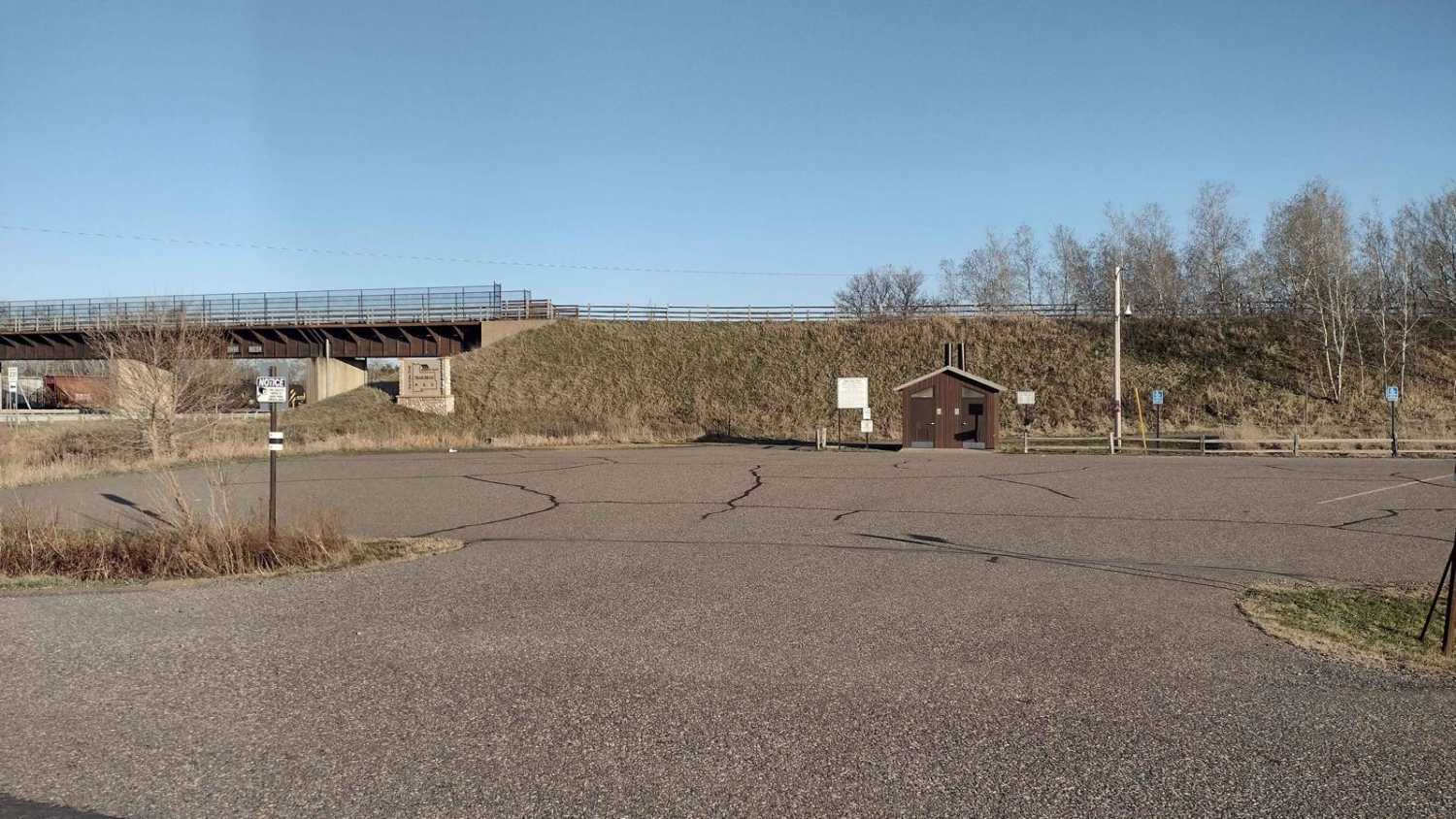
Soo Line South: Trailhead Parking to Genola
Total Miles
11.7
Tech Rating
Easy
Best Time
Spring, Summer, Fall
Learn more about South Brule - FS 325
South Brule - FS 325
Total Miles
6.0
Tech Rating
Easy
Best Time
Spring, Summer, Fall, Winter
Learn more about South Extension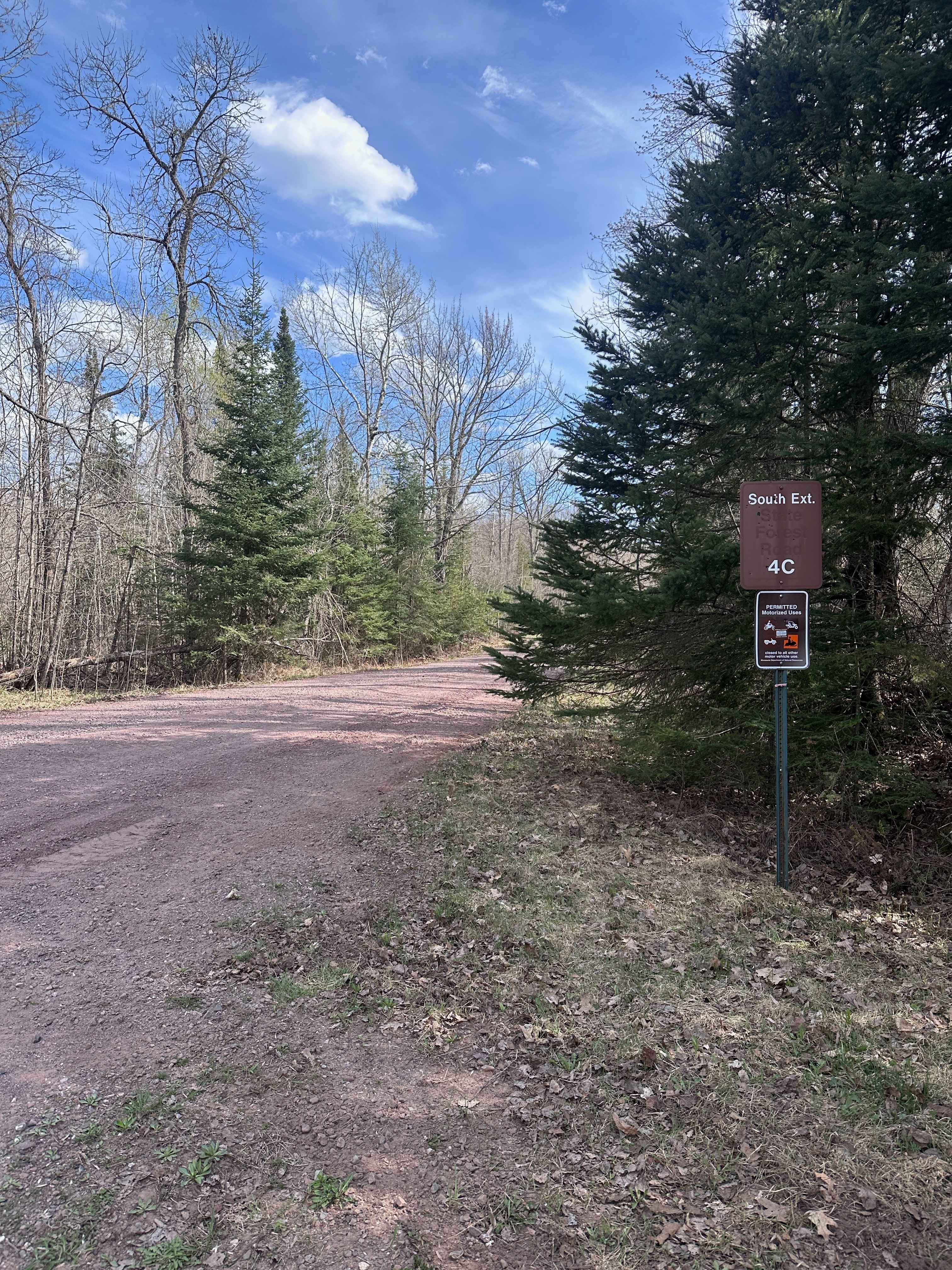
South Extension
Total Miles
3.0
Tech Rating
Easy
Best Time
Spring, Summer, Fall
Learn more about South Fowl Road
South Fowl Road
Total Miles
1.7
Tech Rating
Easy
Best Time
Spring, Summer, Fall, Winter
Learn more about South Long Lake Road
South Long Lake Road
Total Miles
1.8
Tech Rating
Easy
Best Time
Spring, Summer, Fall, Winter
Learn more about South of Outing on A & AB Trails
South of Outing on A & AB Trails
Total Miles
4.3
Tech Rating
Easy
Best Time
Spring, Summer, Fall
Learn more about South of Outing on the A Trail
South of Outing on the A Trail
Total Miles
4.4
Tech Rating
Easy
Best Time
Spring, Summer, Fall
Learn more about South Round River Drive Cut Through
South Round River Drive Cut Through
Total Miles
2.1
Tech Rating
Easy
Best Time
Summer, Fall, Spring
Learn more about South Stony
South Stony
Total Miles
4.4
Tech Rating
Easy
Best Time
Summer, Fall, Winter, Spring
Learn more about Southeast Minnesota Trail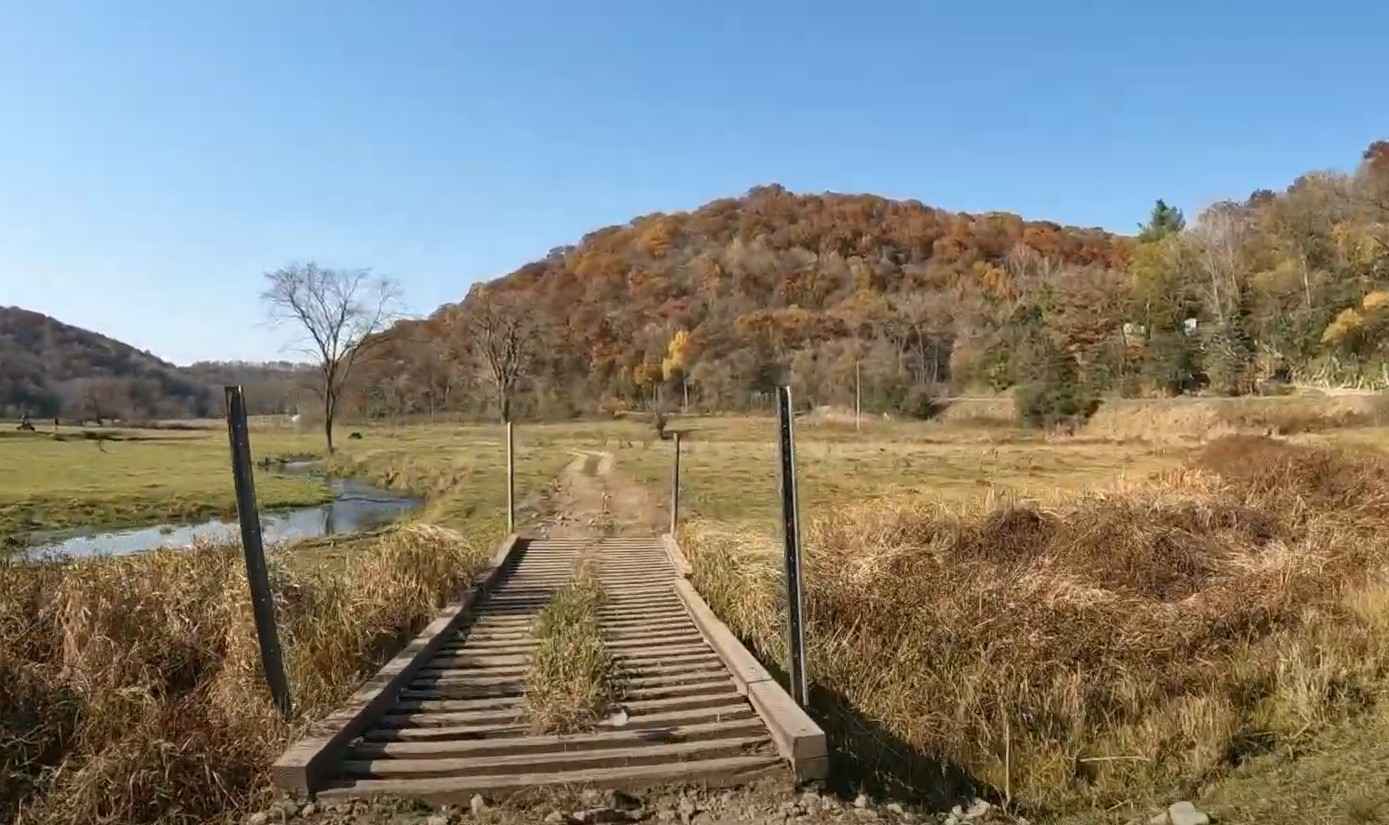
Southeast Minnesota Trail
Total Miles
11.0
Tech Rating
Easy
Best Time
Spring, Summer, Fall
Learn more about Spider Lake 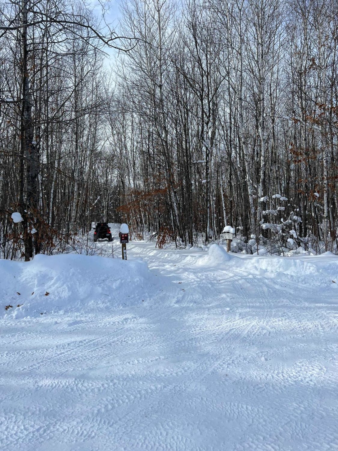
Spider Lake
Total Miles
2.5
Tech Rating
Moderate
Best Time
Spring, Summer, Fall, Winter
Learn more about Spider Lake North State Forestry Rd
Spider Lake North State Forestry Rd
Total Miles
1.5
Tech Rating
Easy
Best Time
Spring, Summer, Fall, Winter
Learn more about Spider Lake Trails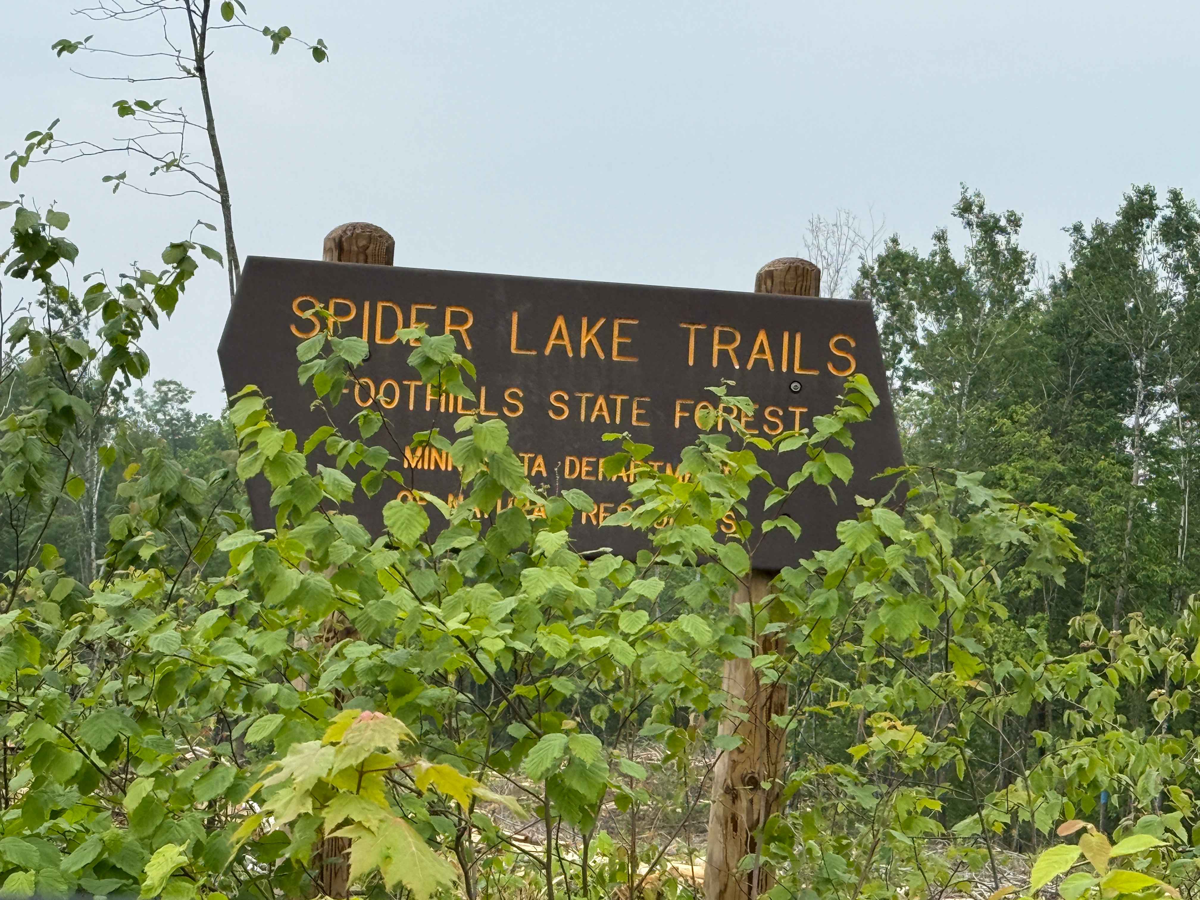
Spider Lake Trails
Total Miles
1.3
Tech Rating
Moderate
Best Time
Spring, Fall, Summer
Learn more about Spina Trail
Spina Trail
Total Miles
4.2
Tech Rating
Easy
Best Time
Spring, Summer, Winter, Fall
Learn more about Split Personality Connector
Split Personality Connector
Total Miles
0.1
Tech Rating
Easy
Best Time
Spring, Summer, Fall

Learn more about Spruce Almighty
Spruce Almighty
Total Miles
0.2
Tech Rating
Moderate
Best Time
Spring, Summer, Fall
Learn more about Spur 1114
Spur 1114
Total Miles
2.3
Tech Rating
Easy
Best Time
Spring, Summer, Winter, Fall
Learn more about St Louis Spur C
St Louis Spur C
Total Miles
2.6
Tech Rating
Easy
Best Time
Spring, Summer, Winter, Fall
ATV trails in Minnesota


Learn more about 11th Street SW
11th Street SW
Total Miles
3.4
Tech Rating
Easy
Best Time
Spring, Fall, Summer, Winter
UTV/side-by-side trails in Minnesota
Learn more about 11th Street SW
11th Street SW
Total Miles
3.4
Tech Rating
Easy
Best Time
Spring, Fall, Summer, Winter
The onX Offroad Difference
onX Offroad combines trail photos, descriptions, difficulty ratings, width restrictions, seasonality, and more in a user-friendly interface. Available on all devices, with offline access and full compatibility with CarPlay and Android Auto. Discover what you’re missing today!