South Brule - FS 325
Total Miles
6.0
Technical Rating
Best Time
Spring, Summer, Fall, Winter
Trail Type
Full-Width Road
Accessible By
Trail Overview
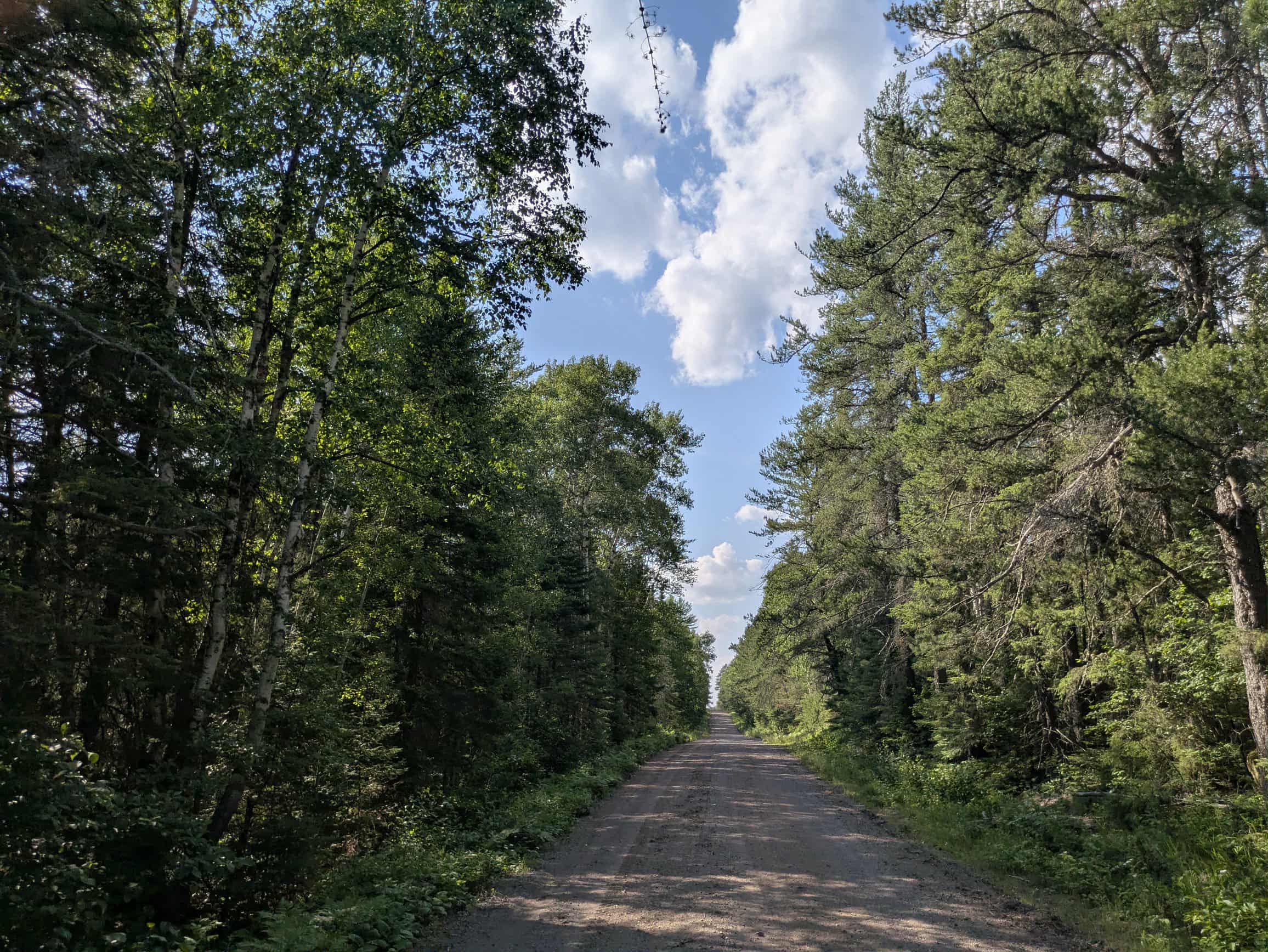
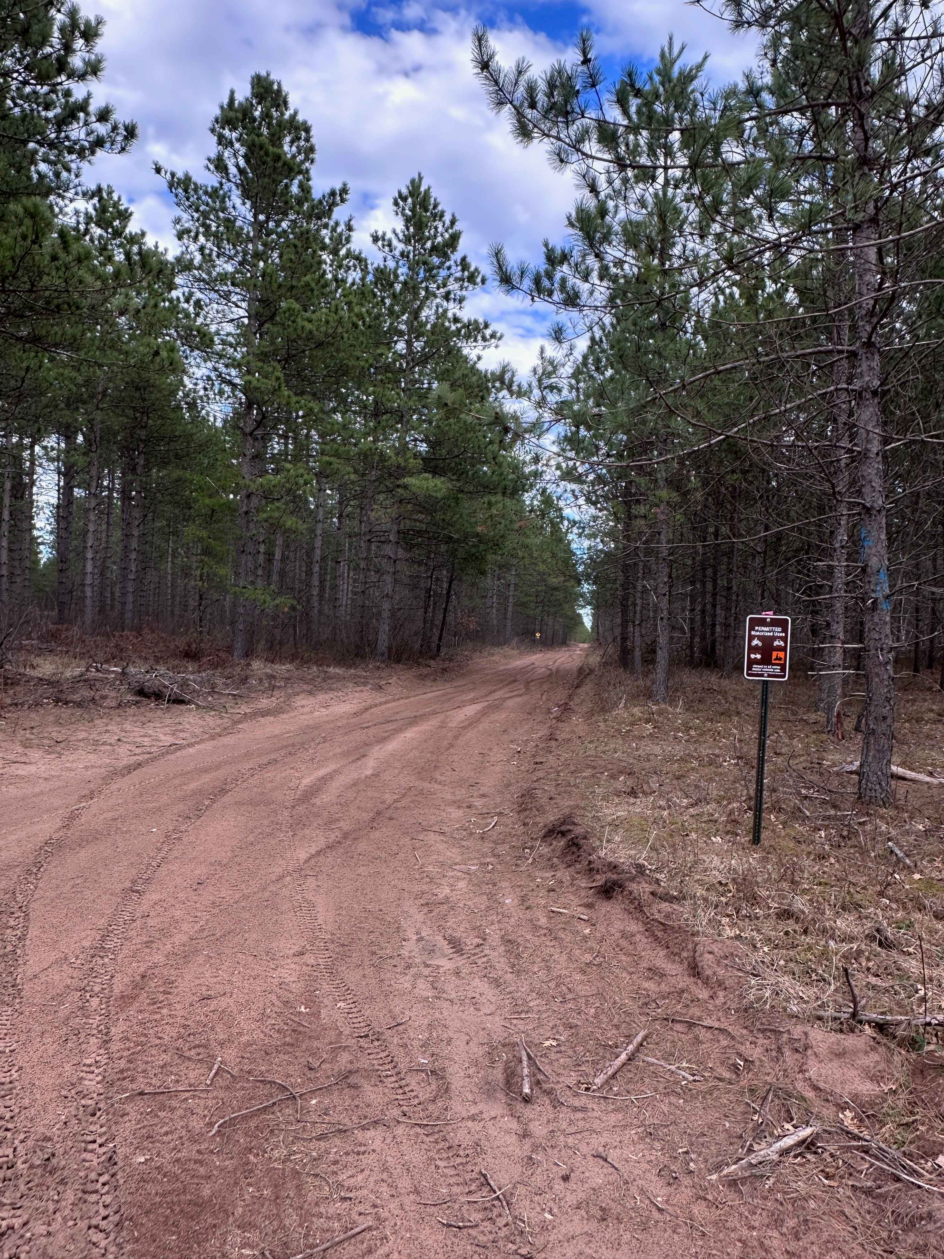
The South Brule Trail (FS 325) winds through a forested landscape with a series of ascents and descents. The main trail is primarily smooth gravel and generally in good condition, though occasional wet potholes can be expected, especially in lower-lying sections. A few small clearings break up the forest along the route. Several side trails branch off, but most are narrow, overgrown, and occasionally steep, making them more suitable for snowmobiles or ATVs rather than full-size vehicles. Continuing along the main route, the trail eventually connects to a spur that leads to the Twin Lakes campground and a public water access point. While the trail provides access to recreational areas, it does not feature any formal camping options along its own length. Amenities are limited--there are no trash disposal services or potable water sources available, and cell service may be spotty or unavailable in some sections.
Photos of South Brule - FS 325


Difficulty
This trail sees regular use by other adventurers, but it can be overgrown in some areas.
Status Reports
South Brule - FS 325 can be accessed by the following ride types:
- High-Clearance 4x4
- SUV
- SxS (60")
- ATV (50")
- Dirt Bike
South Brule - FS 325 Map
Popular Trails

East West Forest Road

Connors Road
The onX Offroad Difference
onX Offroad combines trail photos, descriptions, difficulty ratings, width restrictions, seasonality, and more in a user-friendly interface. Available on all devices, with offline access and full compatibility with CarPlay and Android Auto. Discover what you’re missing today!