Minnesota 34 Ditch Trail 6.1
Total Miles
6.1
Technical Rating
Best Time
Spring, Summer, Fall
Trail Type
60" Trail
Accessible By
Trail Overview
Minnesota 34 Ditch Trail between Akeley and Nevis runs along the north side of Minnesota State Highway 34. This section of trail is 6.1 miles long and takes about 30 minutes at an average speed of about 12.2 MPH. Very easy to follow, please be aware of residential areas and keep speeds low for safety and reducing dust and noise. Gas and food are available in both communities not far off the trail.
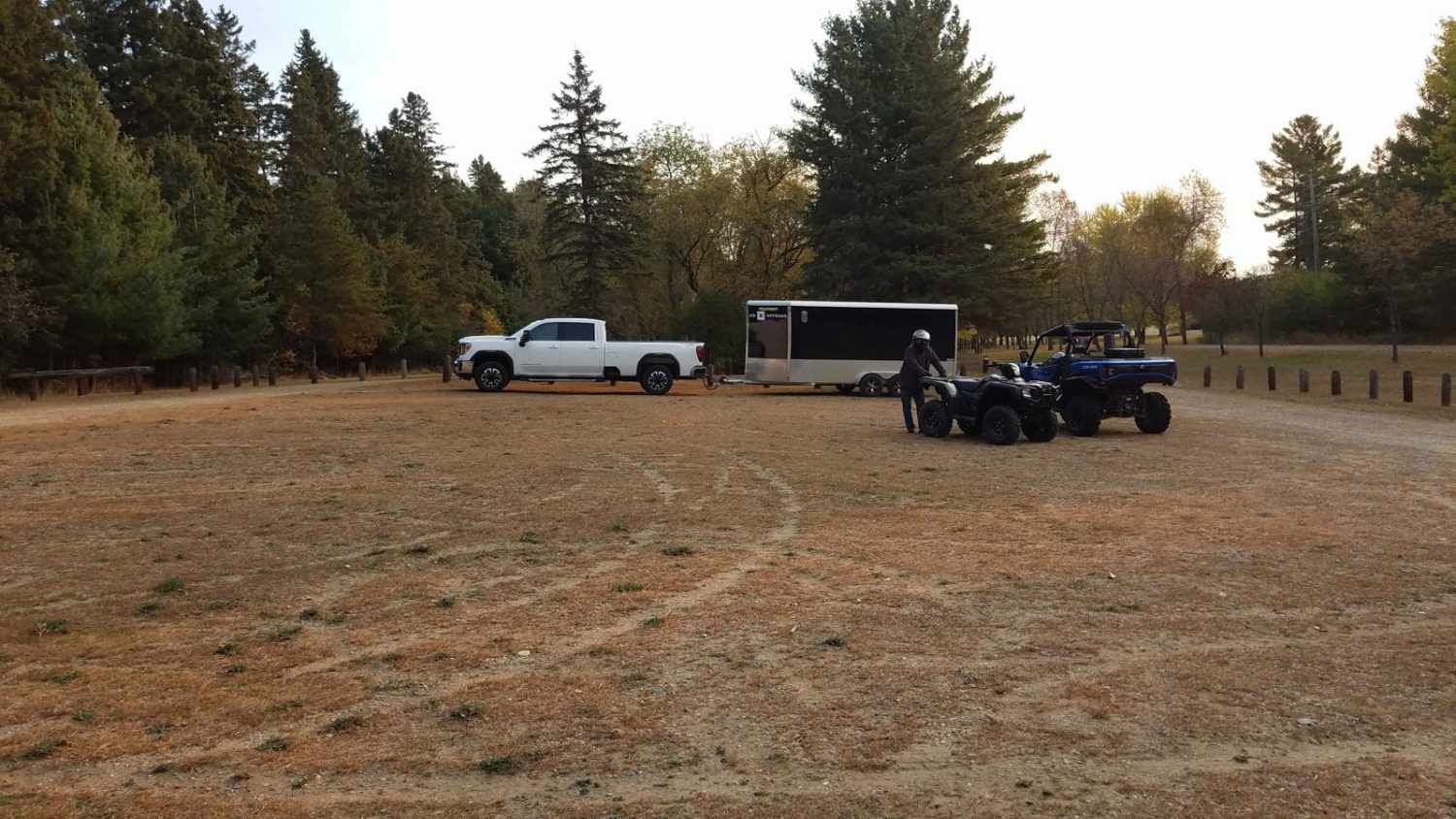
Photos of Minnesota 34 Ditch Trail 6.1

Difficulty
The trail rating of 2 is for the narrow width, one SxS width but plenty of room to the side of the trail when meeting others. Some road crossings and driveways are steep so use caution and be alert for other traffic. There is a mix of both yield and stop signs when the trail crosses other roadways. Most are at an incline so remember to keep your distance when following others to give them some room to get started uphill from a stop.
Status Reports
Minnesota 34 Ditch Trail 6.1 can be accessed by the following ride types:
- SxS (60")
- ATV (50")
Minnesota 34 Ditch Trail 6.1 Map
Popular Trails

Moose River Road NW


Quartz Mountain

Pitt Grade Forest Trail
The onX Offroad Difference
onX Offroad combines trail photos, descriptions, difficulty ratings, width restrictions, seasonality, and more in a user-friendly interface. Available on all devices, with offline access and full compatibility with CarPlay and Android Auto. Discover what you’re missing today!