Stony Lookout
Total Miles
8.4
Technical Rating
Best Time
Spring, Summer, Fall, Winter
Trail Type
Full-Width Road
Accessible By
Trail Overview
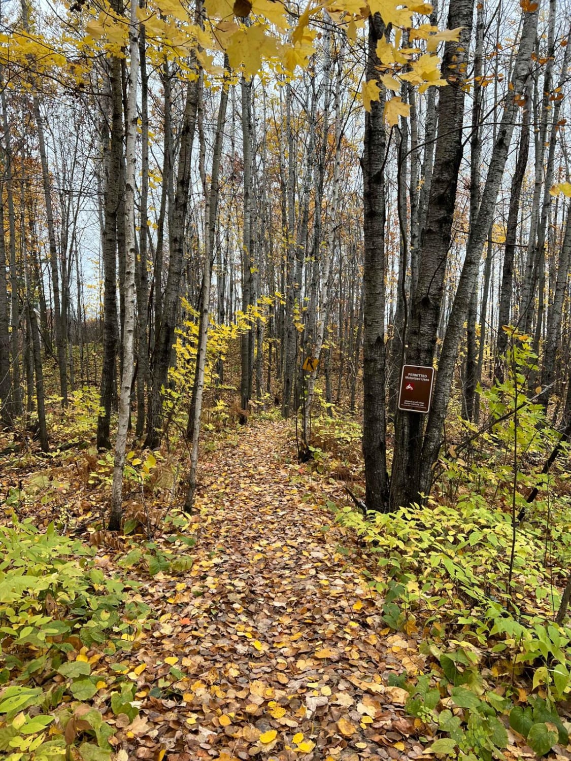
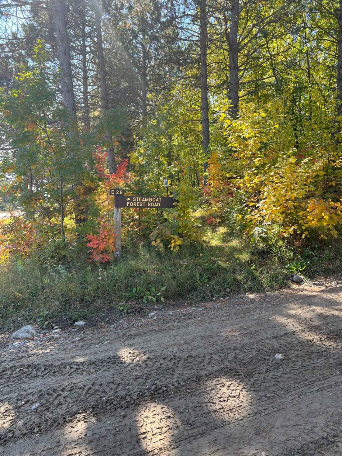
This trail begins from Highway 1 and initially crosses through private property, though it remains a public road throughout. The surface is unmaintained from the outset, with rocky, muddy, and bumpy conditions. As it winds toward the forest, travelers will encounter scattered logs lying across the track, requiring careful navigation. The farther you go, the more difficult the trail becomes, with a combination of ascents and descents, mud patches, overgrown sections, and stretches of loose rock, standing water, and puddles that may obscure the path. At one point, the trail opens into a small clearing that could be used for dispersed camping. Beyond this point, it re-enters the forest, and the level of difficulty increases again. The route eventually passes through a swampy section where logs have been placed to create a makeshift crossing. However, the logs are spaced irregularly and do not fully cover the bog, making this portion particularly bumpy, slick, and slow-going. The trail runs parallel to the beautiful Stony River and leads to a small lake. This trail is rated a 3 and is best suited for capable four-wheel-drive vehicles, side-by-sides, or ATVs. Dispersed camping is generally permitted in Superior National Forest, provided it is outside the Boundary Waters Canoe Area Wilderness. There are no amenities along the trail--no toilets, trash bins, or potable water--and cell reception may be unreliable or completely absent. Campers should be prepared to follow Leave No Trace principles.
Photos of Stony Lookout


Difficulty
This trail has not been maintained and is rarely used. Expect overgrowth, downed trees, and dense underbrush in areas. Travel is slow with backcountry obstacles.
Status Reports
Stony Lookout can be accessed by the following ride types:
- High-Clearance 4x4
- SUV
- SxS (60")
- ATV (50")
- Dirt Bike
Stony Lookout Map
Popular Trails
Bunyan Biker Brawl


County Road 173
Paul Bunyan West Steamboat Forest Road
The onX Offroad Difference
onX Offroad combines trail photos, descriptions, difficulty ratings, width restrictions, seasonality, and more in a user-friendly interface. Available on all devices, with offline access and full compatibility with CarPlay and Android Auto. Discover what you’re missing today!