Lunch Lake
Total Miles
1.8
Technical Rating
Best Time
Spring, Fall, Summer, Winter
Trail Type
Full-Width Road
Accessible By
Trail Overview
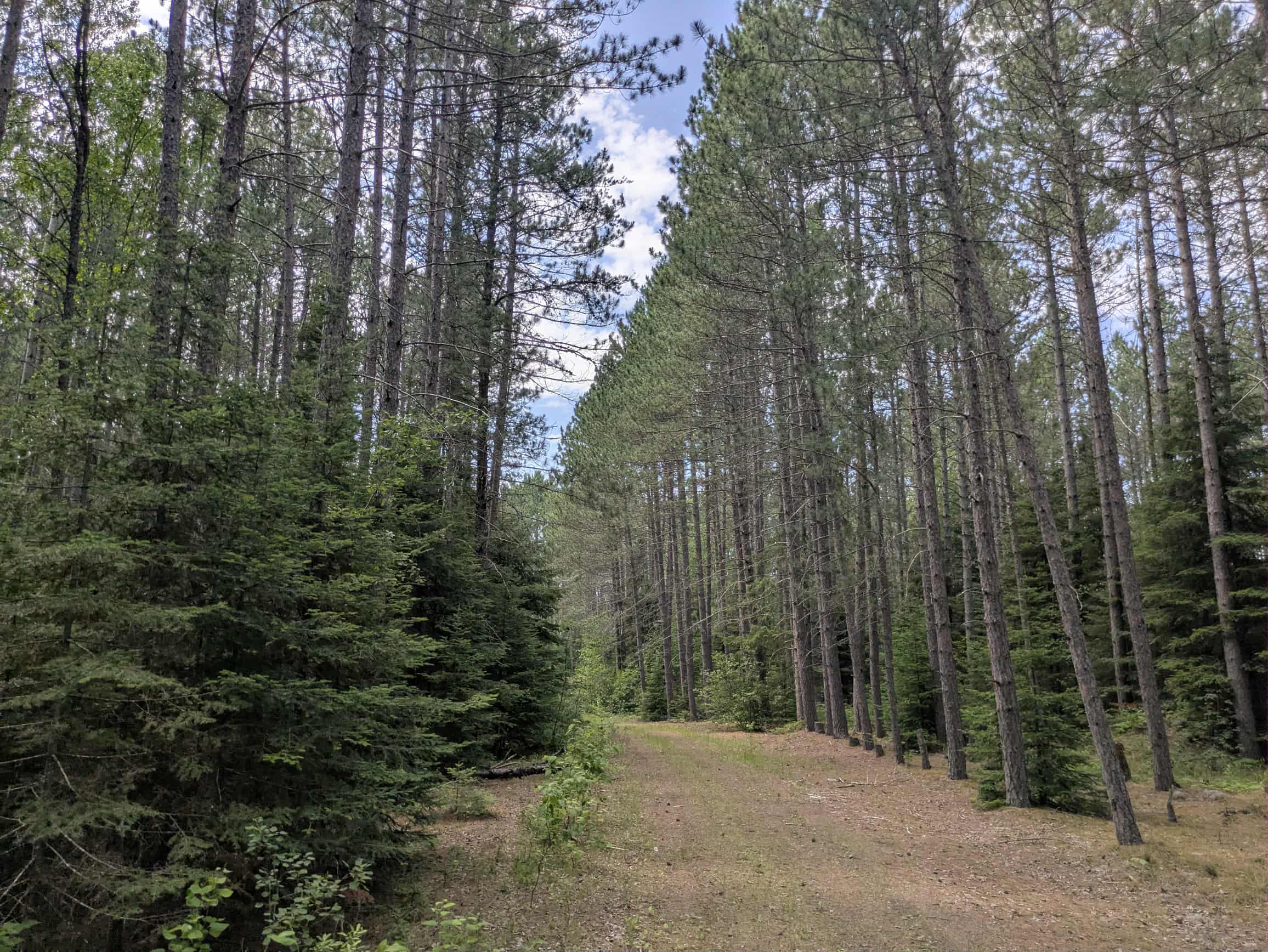
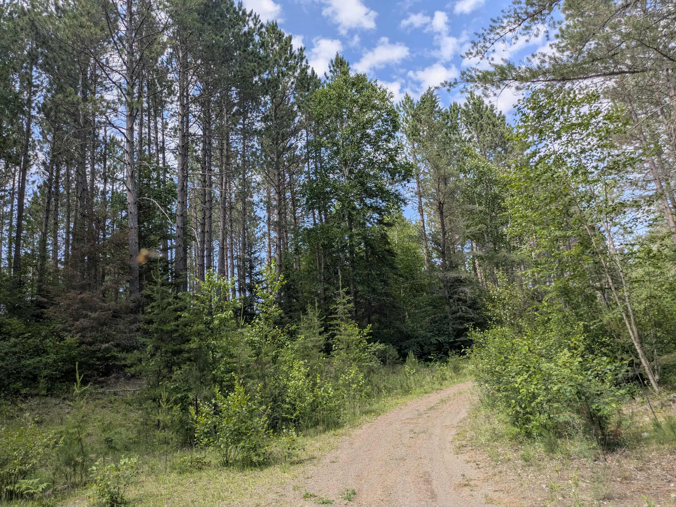
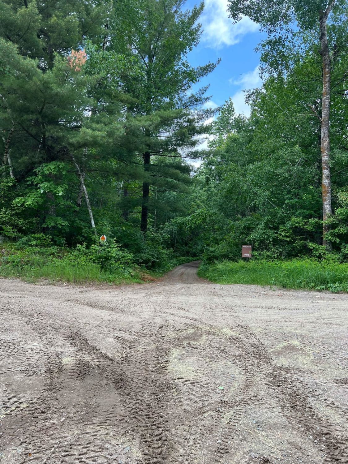
Lunch Lake Road is a long and rugged trail that begins as an active logging route, heavily used by industrial vehicles. The initial section has been harshly cut through the forest and is lined with large stacks of harvested timber in some clearings. The surface is rocky, uneven, and wet in places, with deep tire tracks and occasional muddy stretches that reflect its current use. While the scenery here is dominated by clear-cut forest, the trail eventually transitions into a more natural and quiet section as the logging activity ends. Beyond the logging zone, the trail narrows significantly and winds through dense, regrowing forest. This portion is overgrown and rough, with persistent mud, exposed rock, and off-camber stretches that may require low-range four-wheel drive. At a small clearing, the trail splits--one direction restricted to ATV use and the other continuing as a barely passable track for narrow, high-clearance vehicles. The left fork is extremely overgrown and features a muddy central rut and more off-camber sections. About 100 feet before the trail is completely blocked by thick living and dead vegetation, there is a narrow area suitable for turning around. The trail is humid and buggy in summer, but offers a quiet and challenging drive deeper into the forest. There are no designated campsites or facilities along Lunch Road. One clearing at the intersection near the trail split may be suitable for dispersed camping. However, there are no toilets, water sources, or trash disposal, and cell service may be absent.
Photos of Lunch Lake
Difficulty
This trail has not been maintained and is rarely used. Expect overgrowth, downed trees, and dense underbrush in areas. Travel is slow with backcountry obstacles.
Status Reports
Lunch Lake can be accessed by the following ride types:
- High-Clearance 4x4
- SUV
- SxS (60")
- ATV (50")
- Dirt Bike
Lunch Lake Map
Popular Trails

West Round River - Part 1


The onX Offroad Difference
onX Offroad combines trail photos, descriptions, difficulty ratings, width restrictions, seasonality, and more in a user-friendly interface. Available on all devices, with offline access and full compatibility with CarPlay and Android Auto. Discover what you’re missing today!