South Fowl Road
Total Miles
1.7
Technical Rating
Best Time
Spring, Summer, Fall, Winter
Trail Type
Full-Width Road
Accessible By
Trail Overview
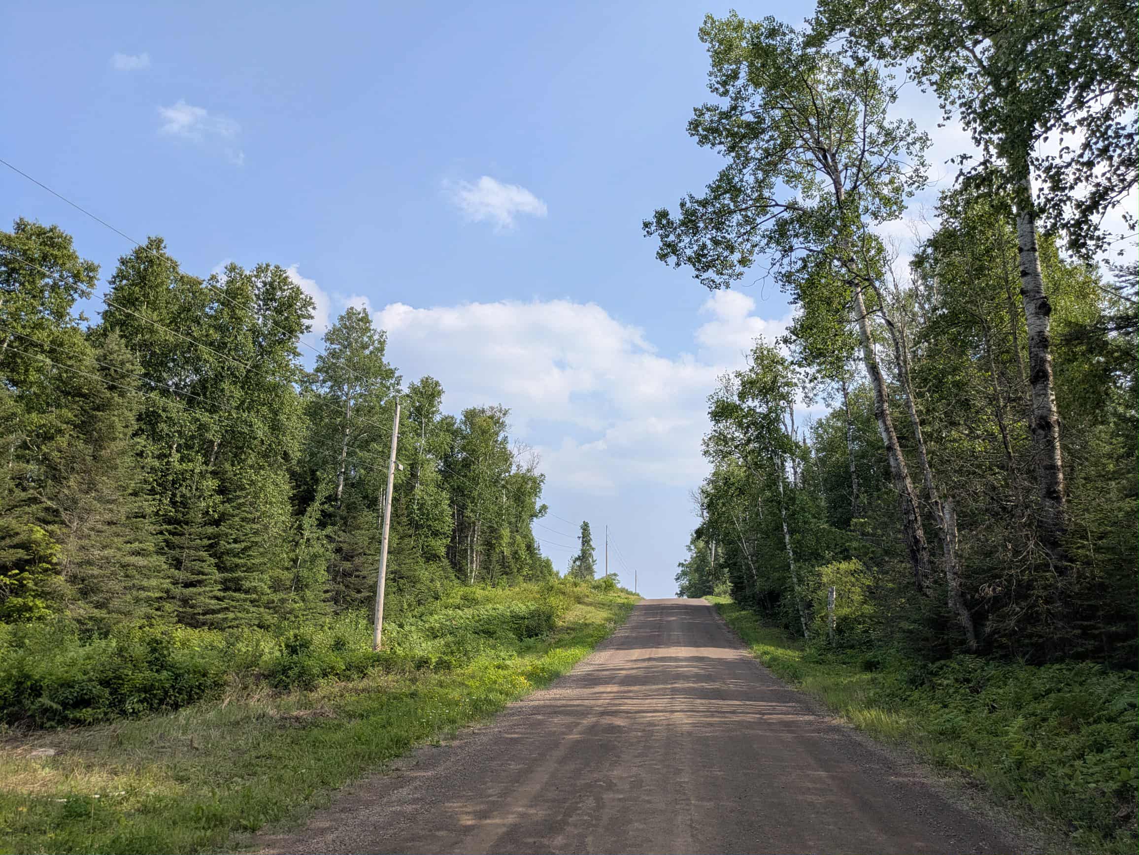
South Fowl Road is accessed from Arrowhead Trail and follows a narrow, winding path through forested terrain with moderate ascents and descents. The gravel surface is uneven in places, with visible water erosion, scattered potholes, and standing puddles. Early in the route, the trail passes through a clearing where logging activity has taken place. Continuing on, it leads to a larger open area where, during the summer months, cabin owners often park their vehicles before continuing by ATV or boat to remote cabins located near the Canadian border. Beyond this point, the trail transitions into an ATV route with no space for full-size vehicles to turn around. It is best suited to side-by-sides or other small off-road machines. The area also provides access to the Boundary Waters Canoe Area Wilderness via water, and visitors should be mindful of local traffic. There are no designated or dispersed campsites along the route, and no services such as trash disposal or potable water. Cell phone coverage may be unreliable.
Photos of South Fowl Road


Difficulty
This forest trail is well-maintained and used daily by residents and adventurers. The route is wide and clear of debris, with established tread and minimal overgrowth--ideal for a smooth and scenic drive or hike.
Status Reports
South Fowl Road can be accessed by the following ride types:
- High-Clearance 4x4
- SUV
- SxS (60")
- ATV (50")
South Fowl Road Map
Popular Trails


Old Angora Road
Pike Lake Road
The onX Offroad Difference
onX Offroad combines trail photos, descriptions, difficulty ratings, width restrictions, seasonality, and more in a user-friendly interface. Available on all devices, with offline access and full compatibility with CarPlay and Android Auto. Discover what you’re missing today!