County Road 80
Total Miles
4.3
Technical Rating
Best Time
Spring, Summer, Fall, Winter
Trail Type
Full-Width Road
Accessible By
Trail Overview
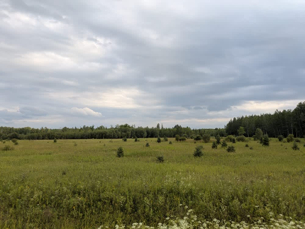
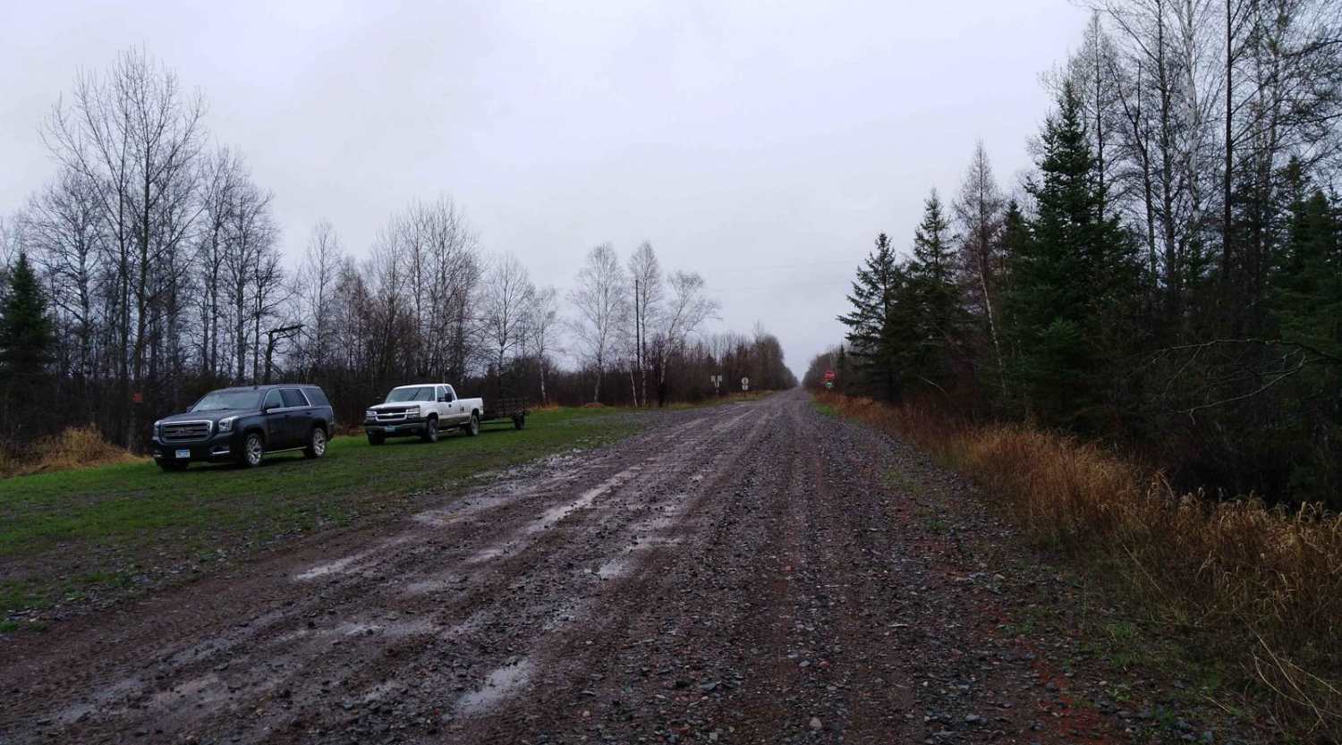
This scenic trail is a single-vehicle-width gravel road that is smooth and generally well-maintained throughout. It begins in an active logging area, where drivers should remain alert for trucks and equipment. The trail features a few minor bumps and passes through forested sections interspersed with occasional clearings. In August, the boom gate along the route was open, allowing access to the next section of the trail. Beyond the gate, the landscape shifts to open farmland with wide fields on either side. The road becomes straighter and easier to drive, with minimal elevation change. Although this section is more relaxed, it is still important to watch for local traffic, including logging vehicles that may be using the road for industrial access. The trail continues through rural surroundings before ending at UT142. There are no formal campsites or designated dispersed camping spots along this trail. It also lacks basic amenities such as trash disposal and potable water. Cell phone coverage may be limited or unavailable in some areas.
Photos of County Road 80

Difficulty
The trail is maintained but can develop light overgrowth between trims, especially in the summer months. Commonly used by local OHV traffic, the path remains visible and passable, though branches and low brush may occasionally encroach.
History
Koochiching State Forest is a vast and ecologically rich state forest encompassing approximately 567,985 acres across Koochiching, Itasca, and Saint Louis counties. Established in 1943 and managed by the Minnesota Department of Natural Resources (DNR), it ranks among the largest state forests in Minnesota. The forest's landscape is characterized by flat terrain, shaped by the ancient glacial activity of Glacial Lake Agassiz. Dominant tree species include black spruce, northern white cedar, and tamarack, with scattered aspen and pine in upland areas. The forest also contains several peatlands, contributing to its unique ecological diversity.
Status Reports
County Road 80 can be accessed by the following ride types:
- High-Clearance 4x4
- SUV
County Road 80 Map
Popular Trails

Forest Service Road 1006

Malcolm Road NW
Nemadji to County Road 3
The onX Offroad Difference
onX Offroad combines trail photos, descriptions, difficulty ratings, width restrictions, seasonality, and more in a user-friendly interface. Available on all devices, with offline access and full compatibility with CarPlay and Android Auto. Discover what you’re missing today!