Spina Trail
Total Miles
4.2
Technical Rating
Best Time
Spring, Summer, Winter, Fall
Trail Type
Full-Width Road
Accessible By
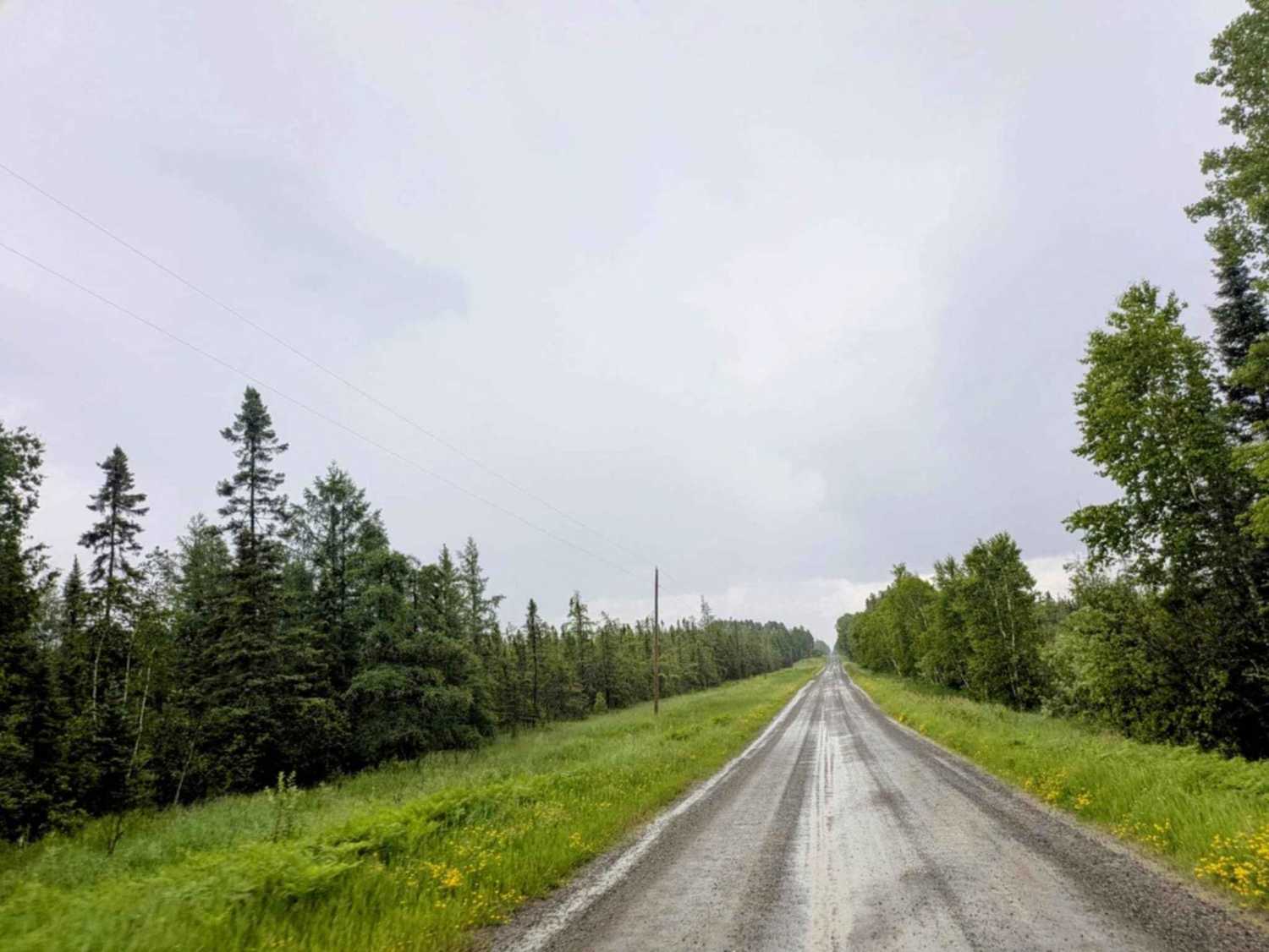
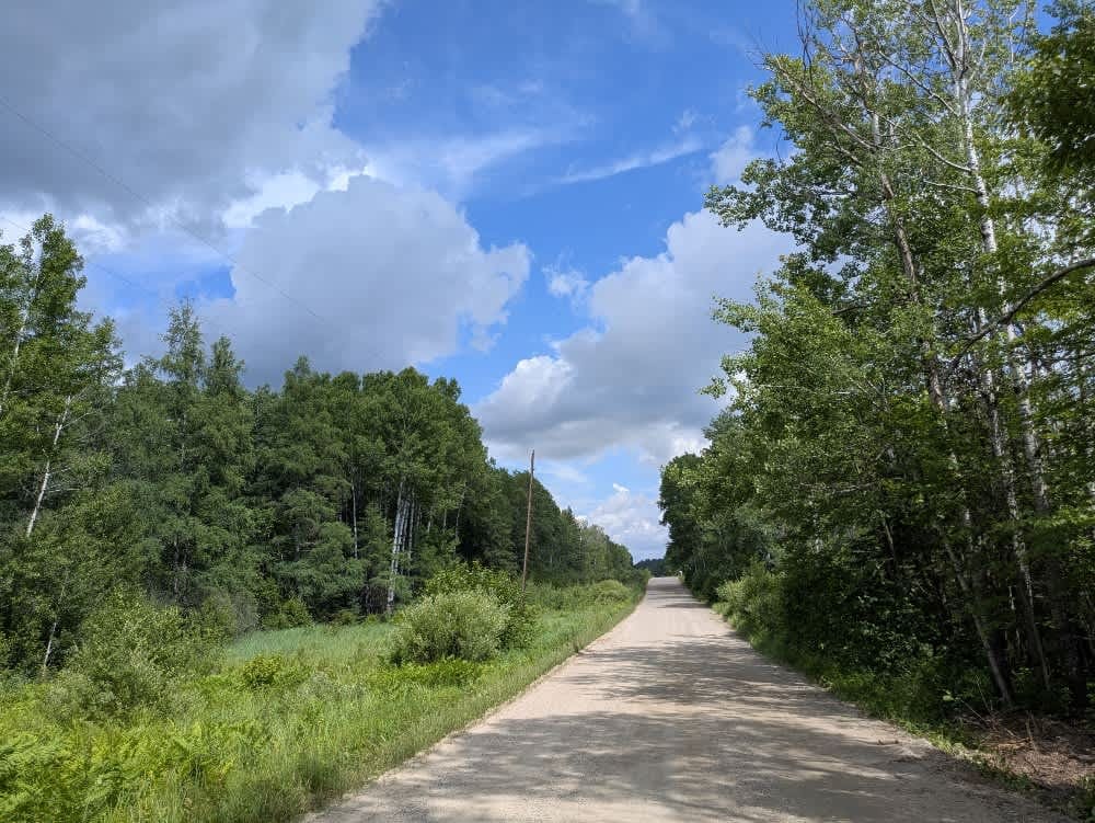
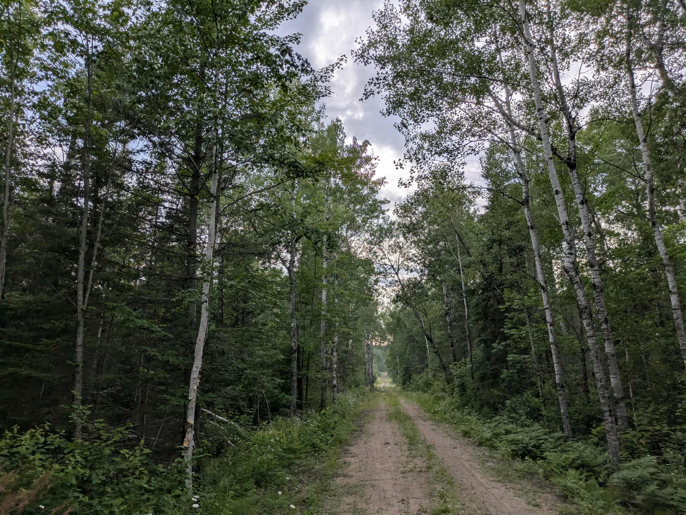
Trail Overview
This trail begins as a smooth gravel route that winds through the forest. The Red Lake Indian Reservation runs along one side of the trail, and sections of the route pass through logging clearings. It eventually leads toward a river and a lake, with a gradual climb back into forested terrain. The trail appears to be infrequently used and passes through the Beltrami Wildlife Management Area. One overgrown side trail branches off the main route, blocked by a fallen tree, and there is a large clearing nearby that can be used for parking, which provides access to an unnamed lake. The main trail ends in another clearing with a tight turnaround space, where drivers should be cautious of the water surrounding the area. The route offers no dispersed or formal campsites and lacks amenities such as trash disposal or a water supply, and cell service may be limited in this location.
Photos of Spina Trail


Difficulty
This forested route is lightly maintained and typically sees use during peak seasons. Expect occasional fallen limbs, narrowing sections from plant growth, and minor obstacles.
Status Reports
Spina Trail can be accessed by the following ride types:
- High-Clearance 4x4
- SUV
Spina Trail Map
Popular Trails

Forest Service Road 487A
Hannula Road
The onX Offroad Difference
onX Offroad combines trail photos, descriptions, difficulty ratings, width restrictions, seasonality, and more in a user-friendly interface. Available on all devices, with offline access and full compatibility with CarPlay and Android Auto. Discover what you’re missing today!